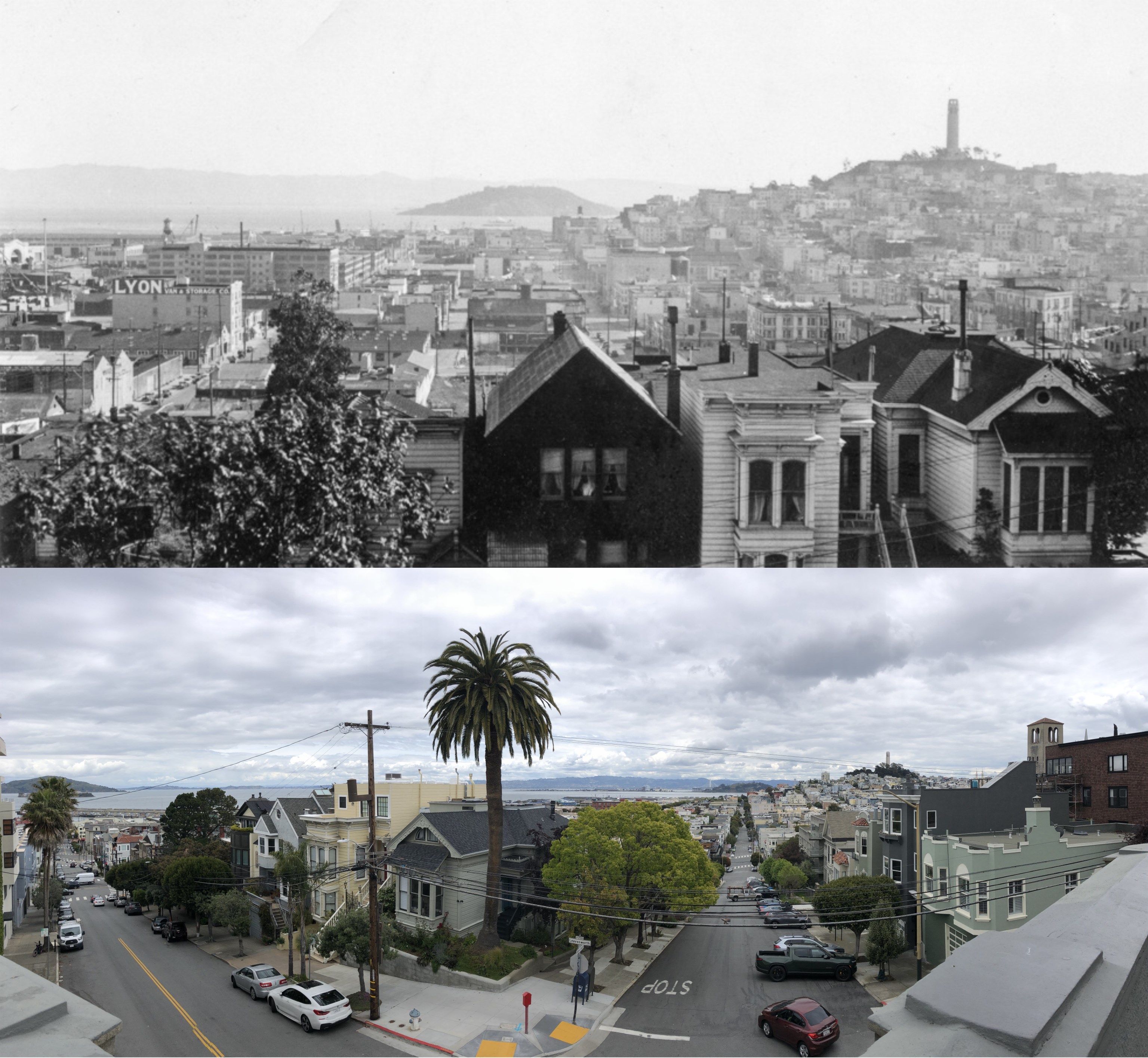
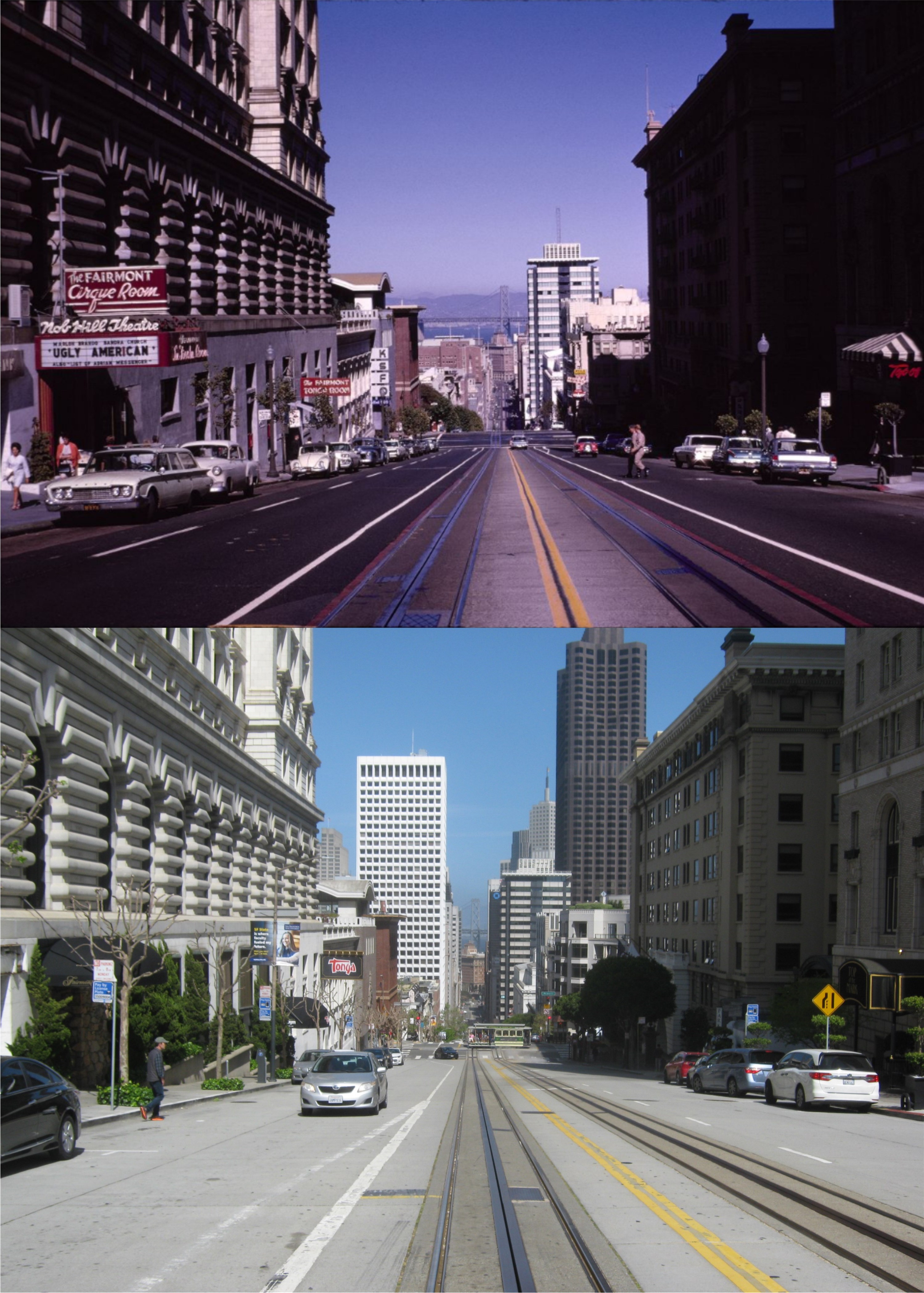
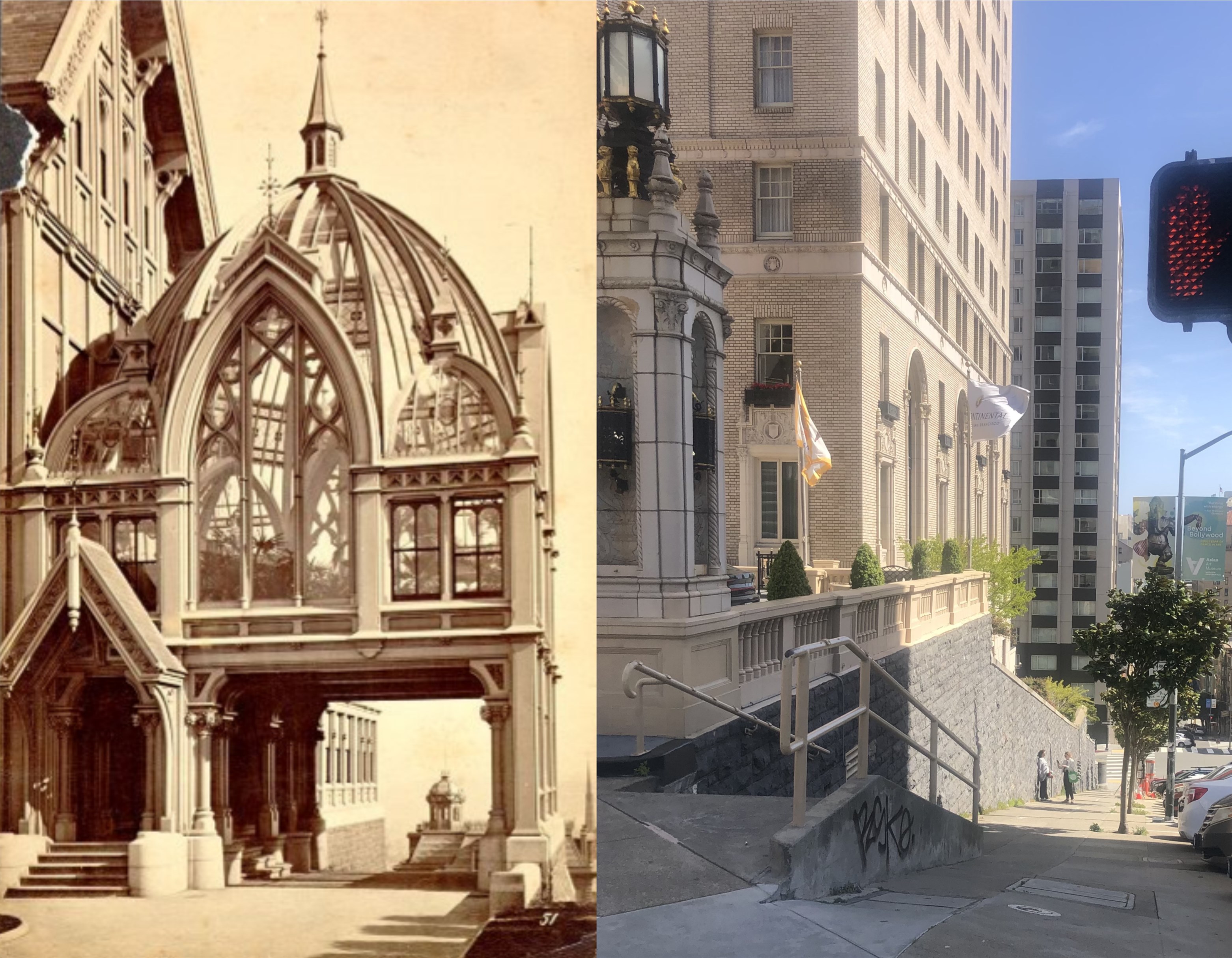
I started this blog on June 15th 2013 as therapy for a broken heart. I had grown tired of it by September of 2013, and picked it up again in November of 2014. I’ve posted every month, to date, since then. To me, the blog has been an adventure, an education, and detective work that have kept me busy for ten years now. I started out with only posts concerning movies filmed in San Francisco, and transitioned to television shows, books, and eventually any photos or stories concerning vintage San Francisco history. This anniversary post will be with pingback links to movies filmed in San Francisco that I’ve covered; a few of them films that I had never heard of when I started this website.

‘Race Street’ – 1948: I took a lot of these updates on a rainy December night in 2019.
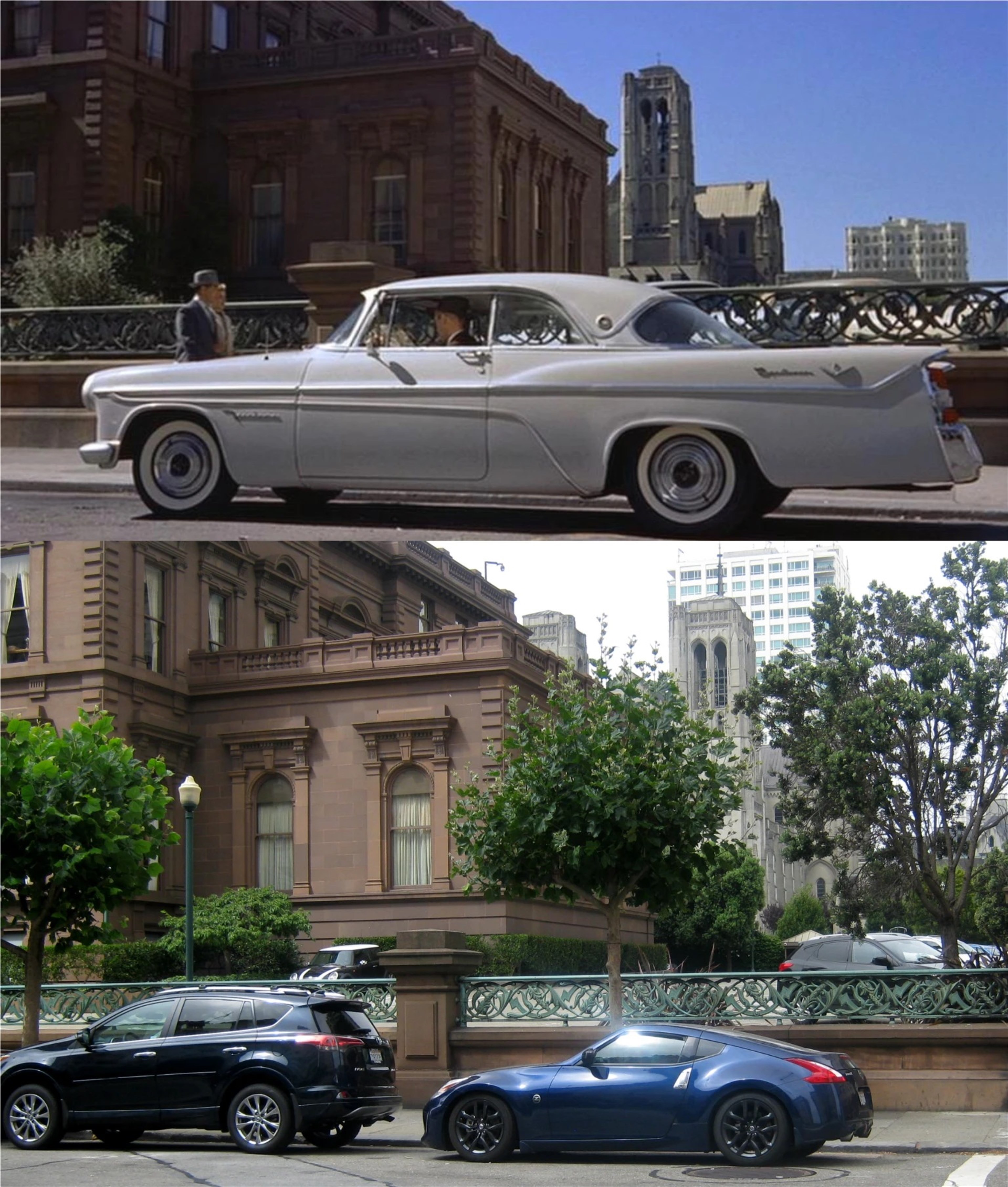
‘Impact’ – 1949: This movie has one of the best film scenes shot in Chinatown.
‘No Escape’ – 1953: Far from the greatest movie ever made, but well worth watching for the San Francisco film locations.

‘Crossings’ – 1986: I watched them film some of the scenes in this TV Mini Series.

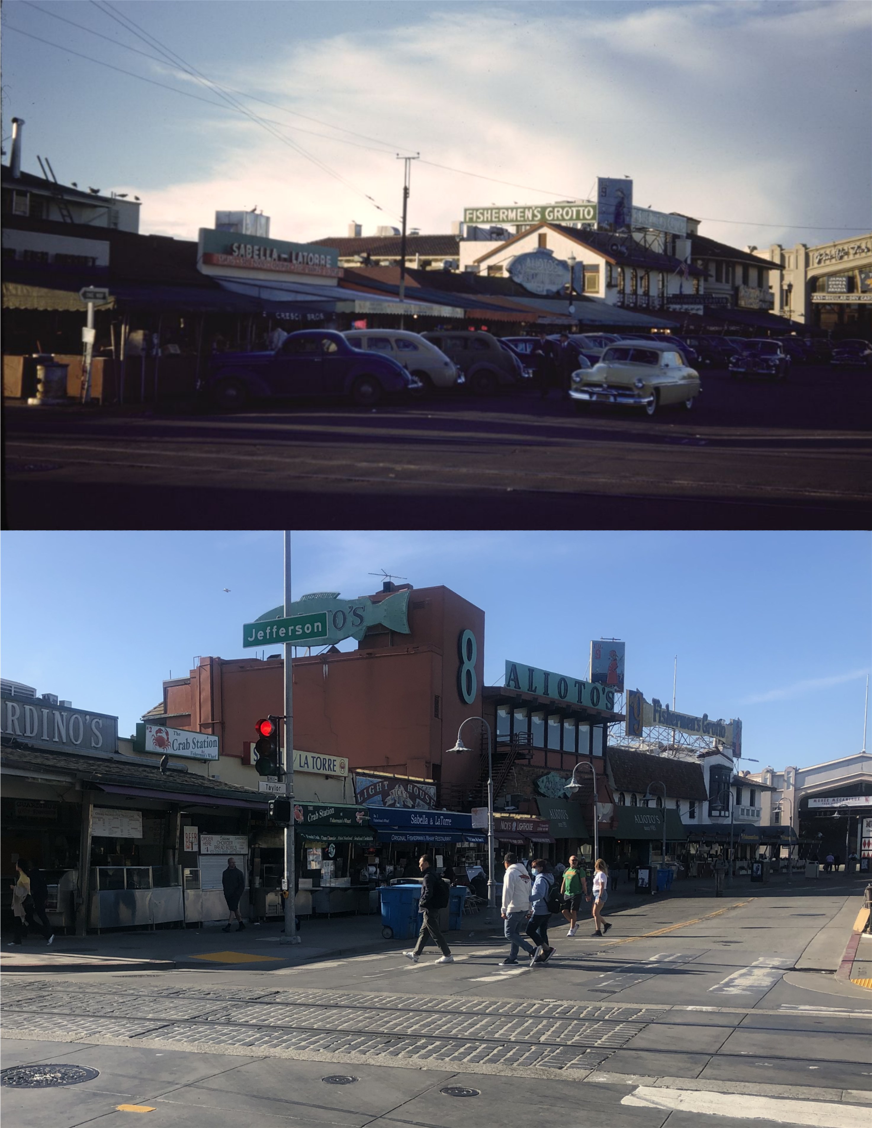
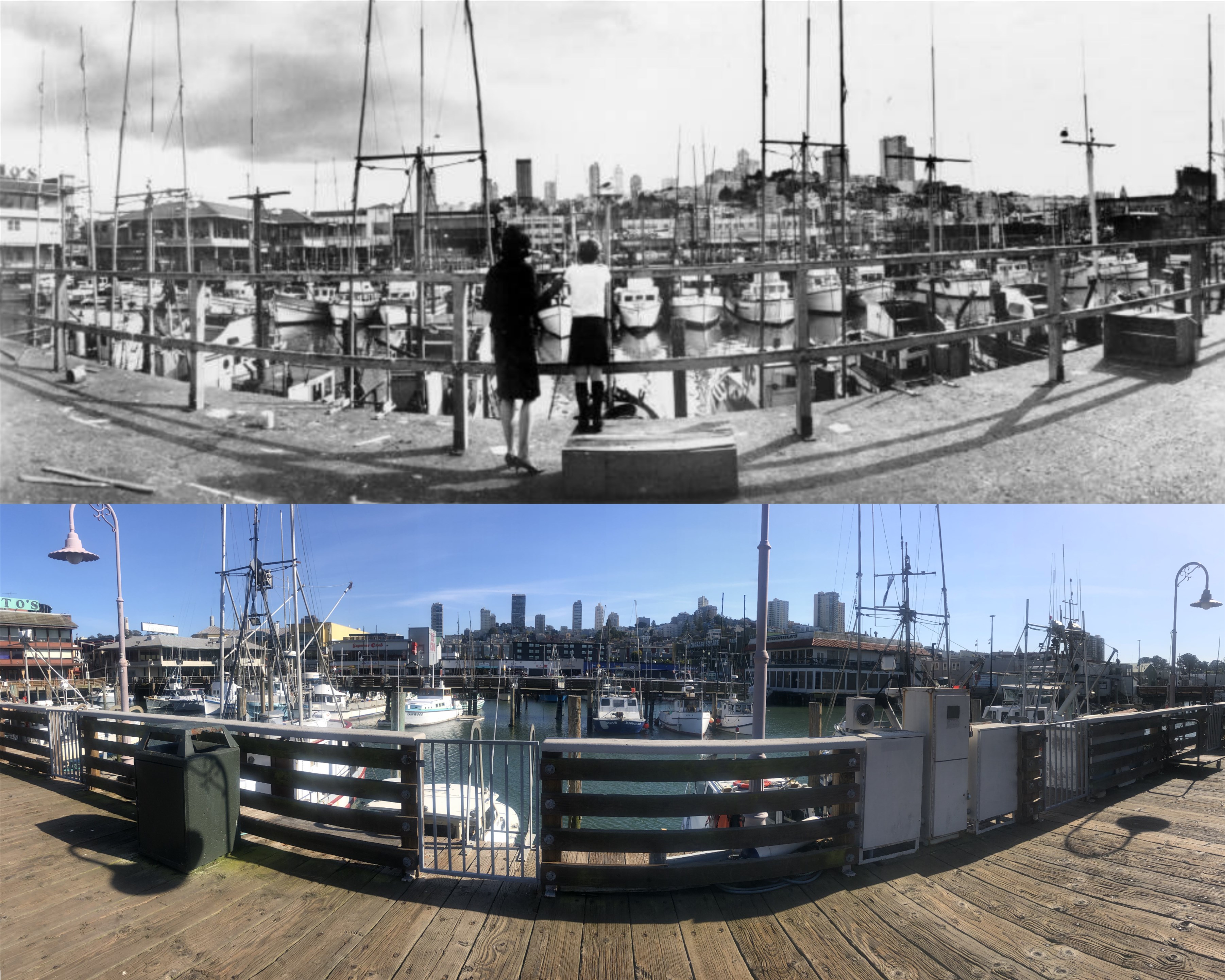
‘Hell on Frisco Bay’ – 1956: Ah, East Vallejo Street, Fisherman’s Wharf, and Eddy G.!

‘Good Neighbor Sam’ – 1964: Another one of those movies I loved when I was a kid.

‘Noir Sunday’ – Various dates: Sometimes the movie marquee pictures are better than the films.
‘My Favorite Brunette’ – 1947: I remember watching the California Street scene on television when I was a teenager, and thinking that it was cool that an old movie had a scene filmed in San Francisco! I learned later that there were others.
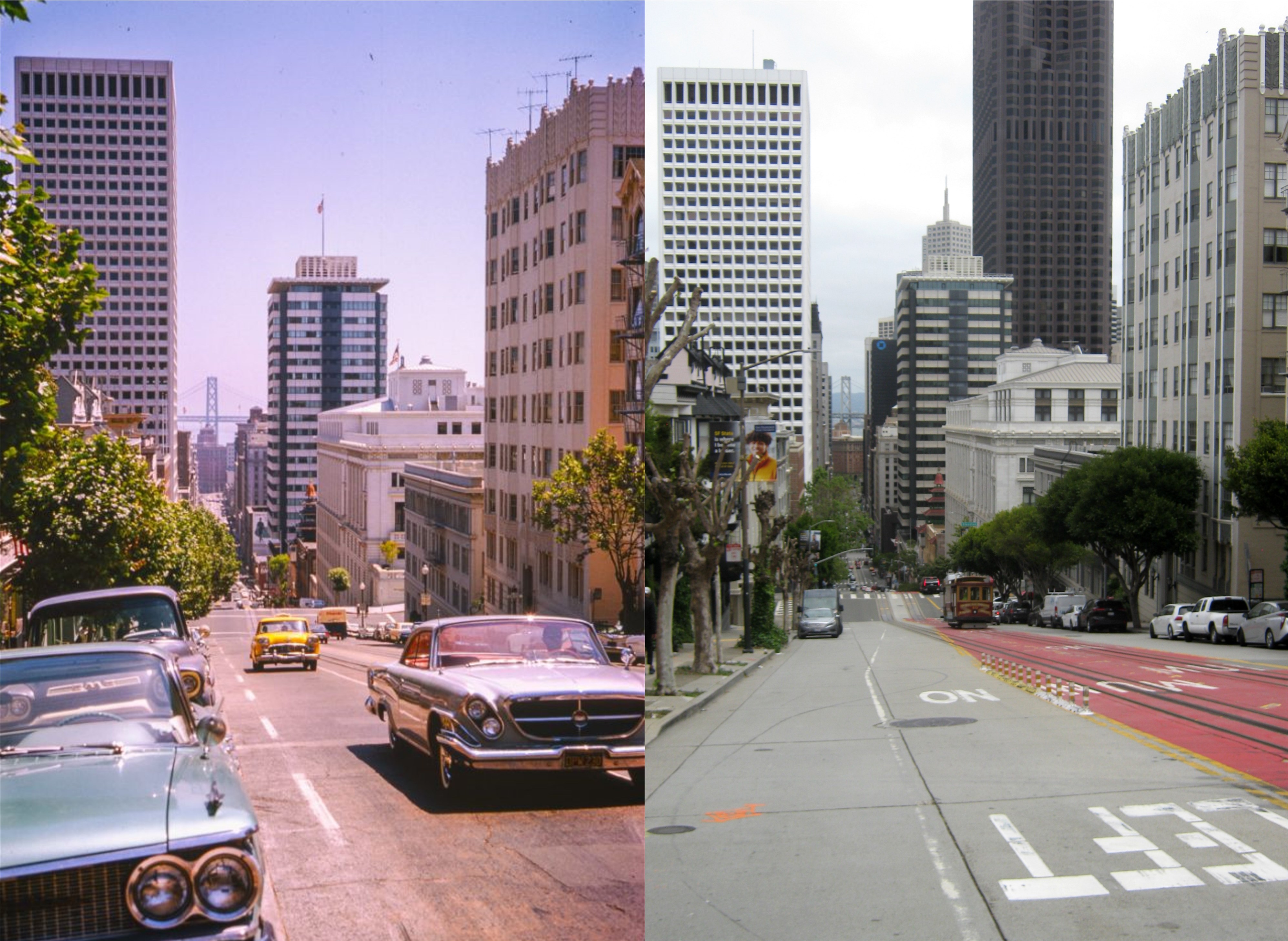
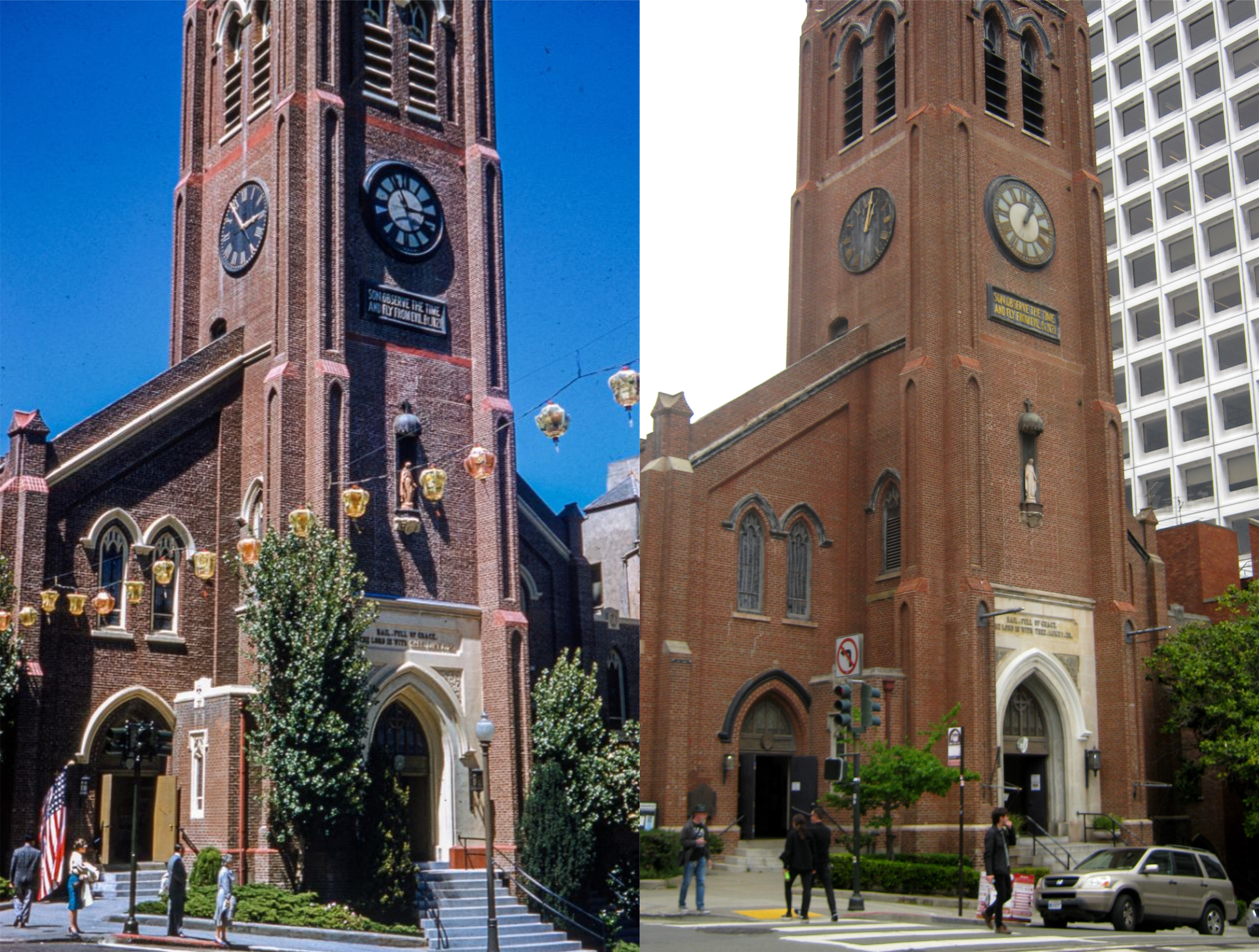
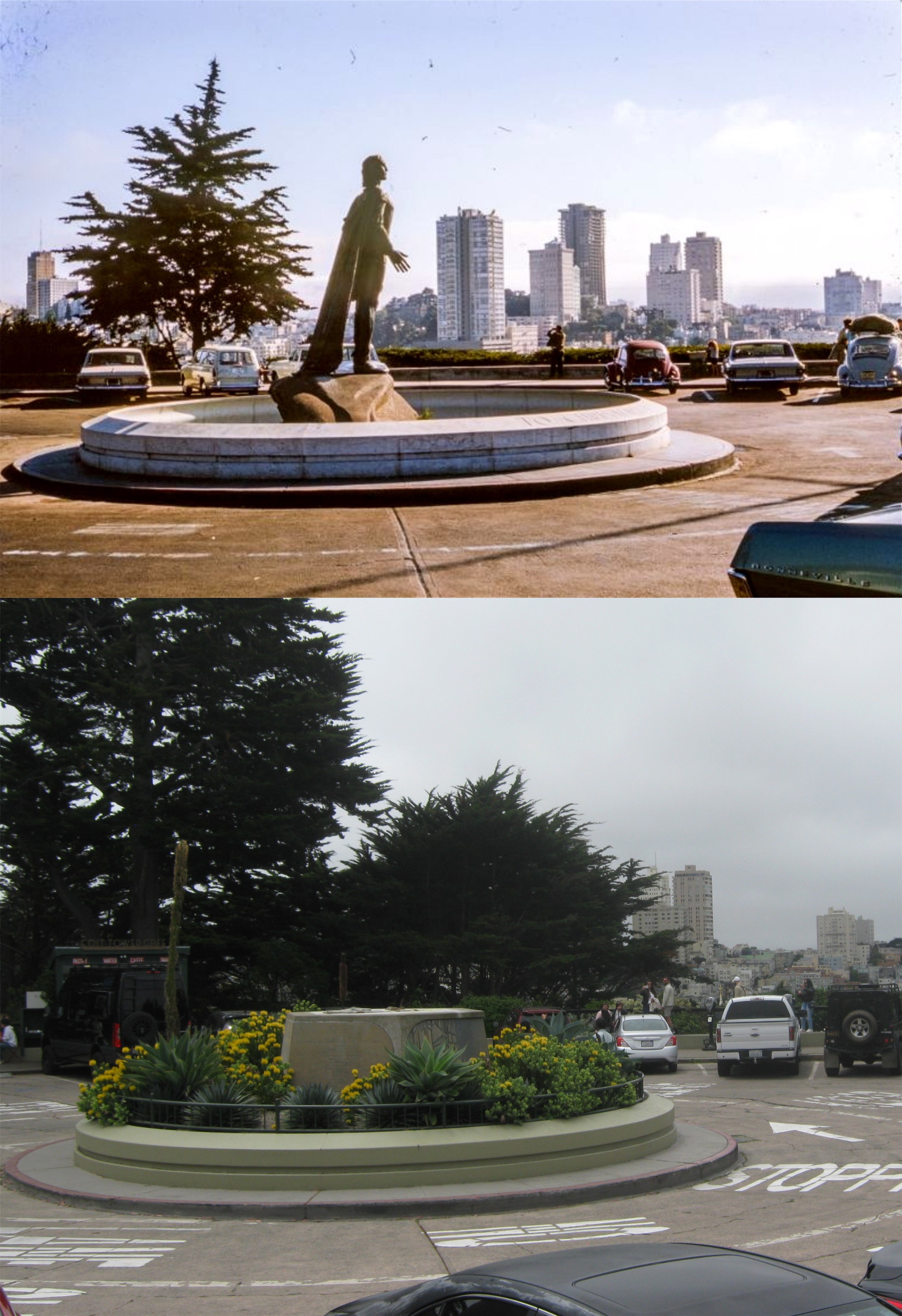
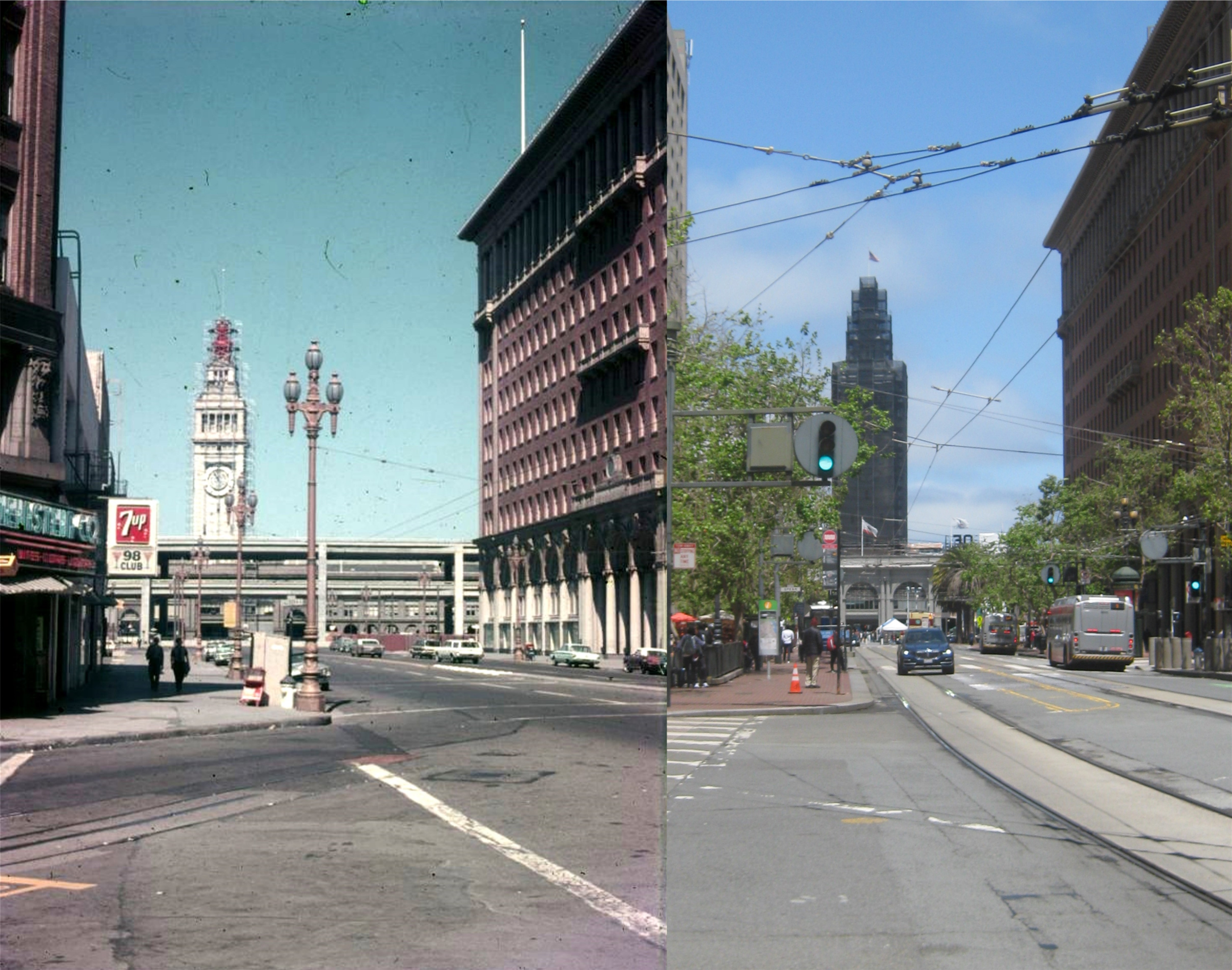
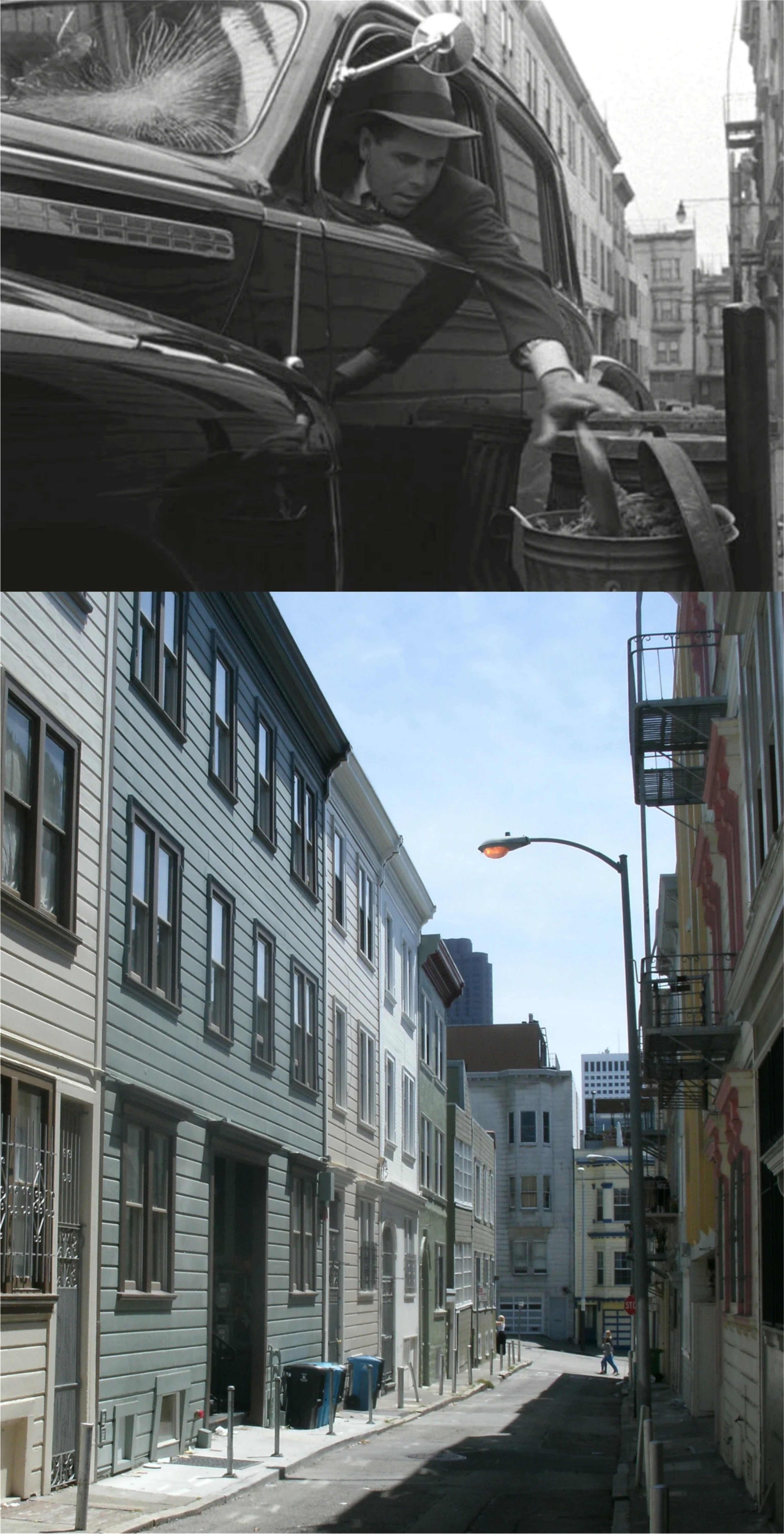
‘The Lady from Shanghai’ – 1947: The scene where Orson Welles breaks out of the old Hall of Justice Building and crosses Kearny Street to Portsmouth Square started my interest in updating San Francisco film locations.

‘Nash Bridges’ – 2021: I’m not particularly a fan of the television show, but this made for TV movie has some cool scenes aboard the World War Two Liberty Ship, the Jeremiah O’Brien, and the Muse Mechanique.
‘San Francisco Film Noir’ – Various dates: Just name dropping collection of crime films shot in San Francisco.
‘Experiment in Terror – 1962: A great movie for crime film and baseball fans.
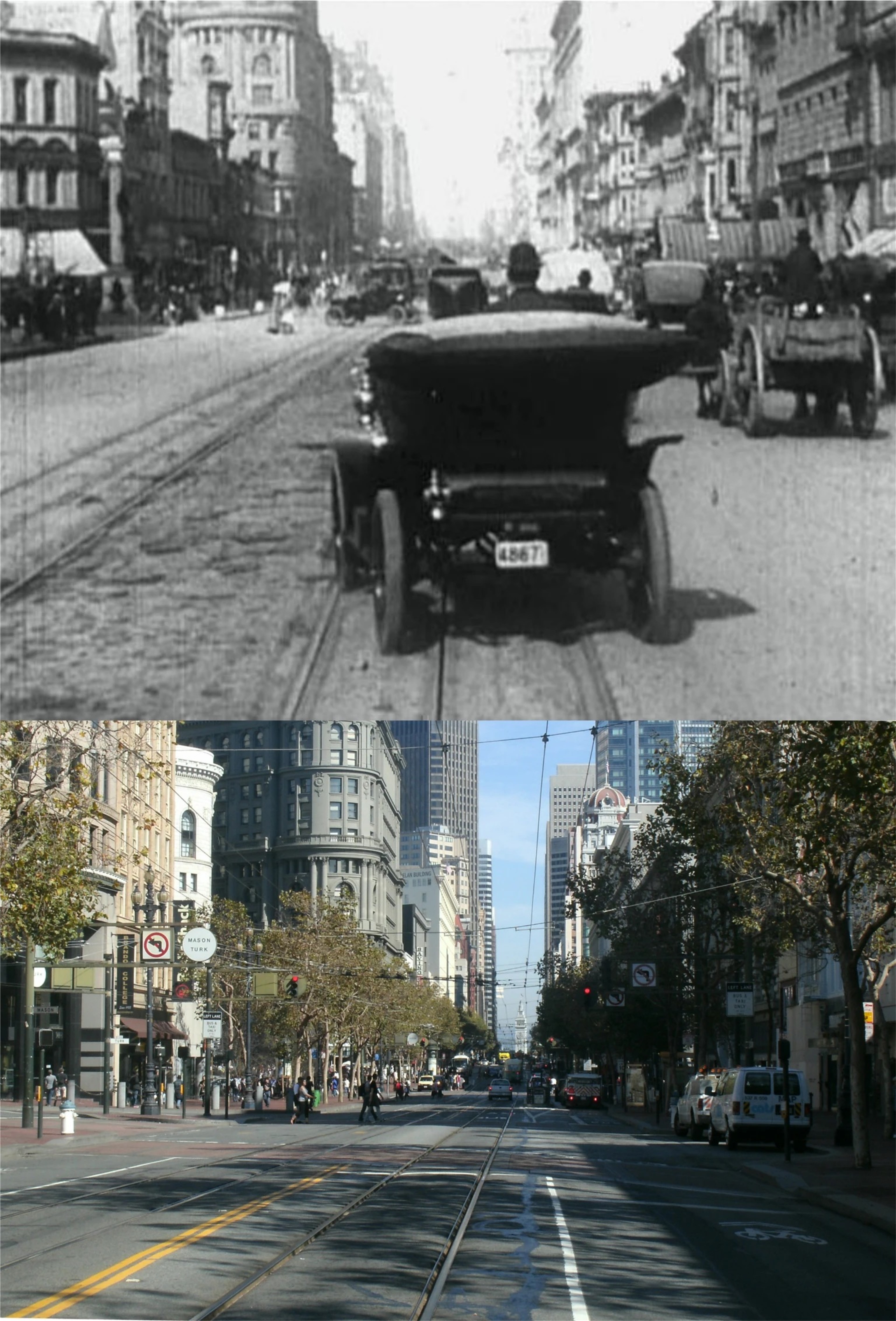
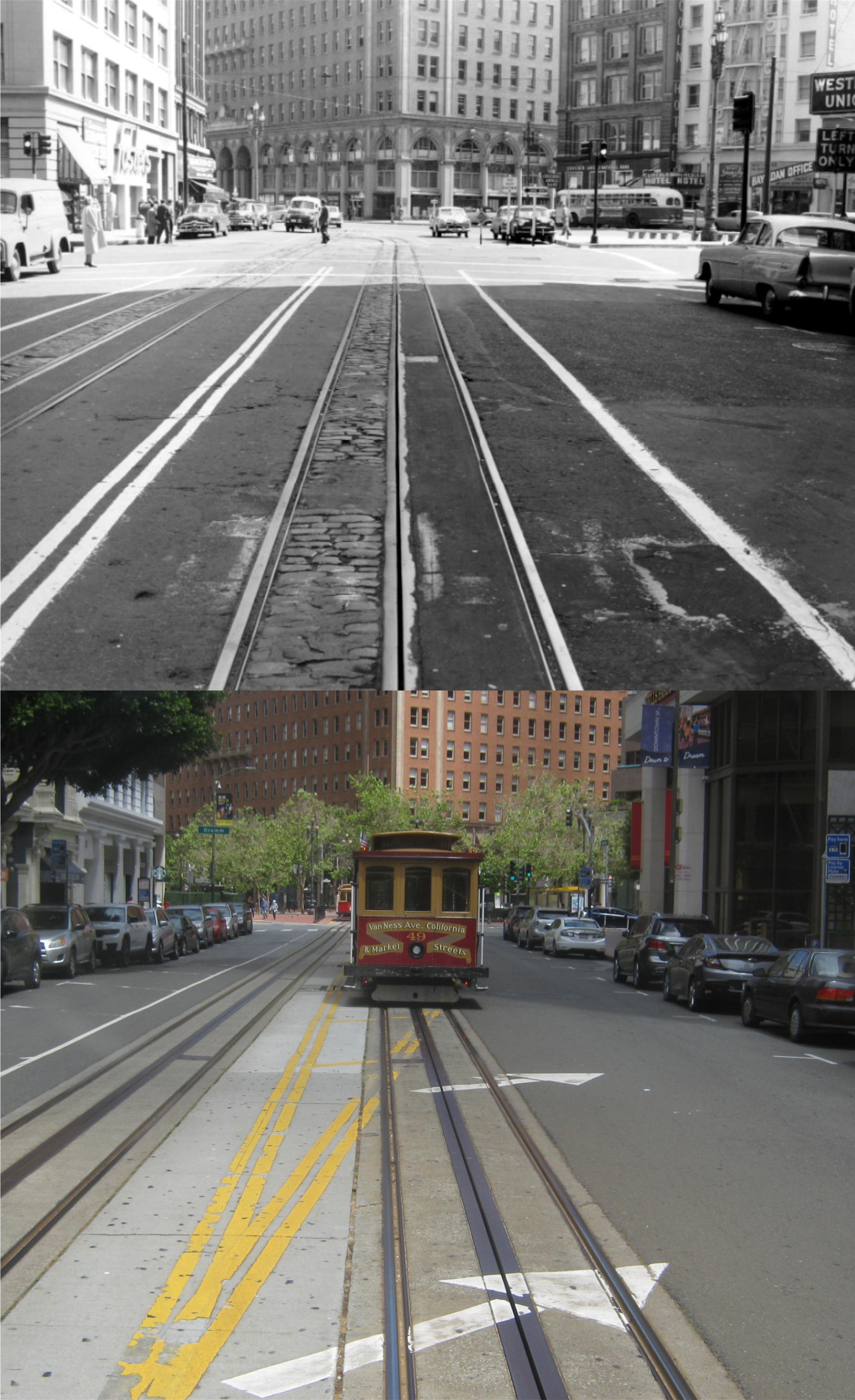
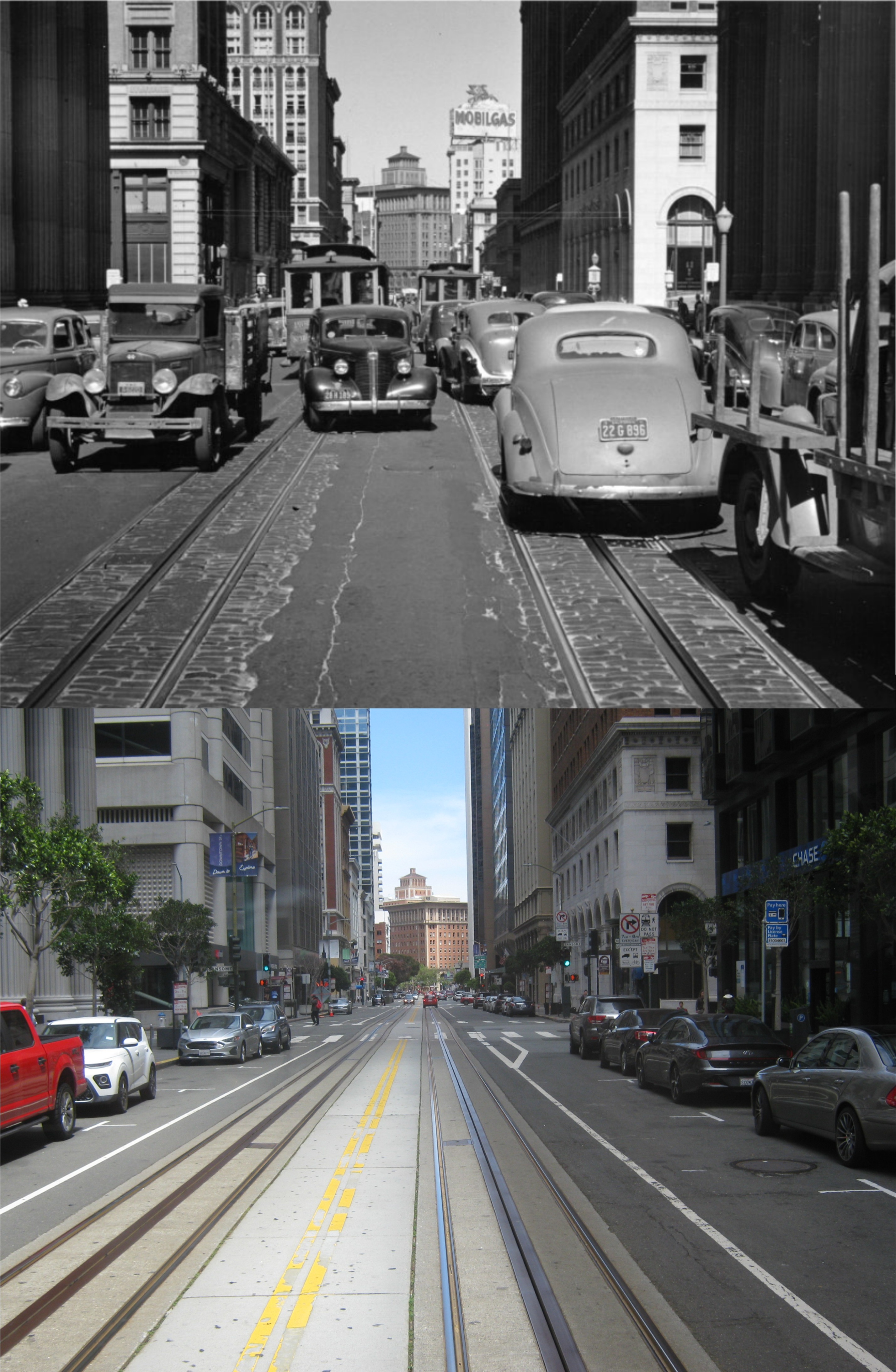
‘A Trip Down Market Street’ – 1906: A cable ride along Market Street from 8th Street to the Ferry Building just before the 1906 Earthquake and Fire; it doesn’t get any better than this.
‘Dark Passage’ – 1947: Bogie and Bacall, terrific San Francisco locations, and some of the weirdest scenes from any Humphrey Bogart movie.

‘I remember Mama’ – 1948: The endearing movie that makes almost everybody miss or want to hug their mom.
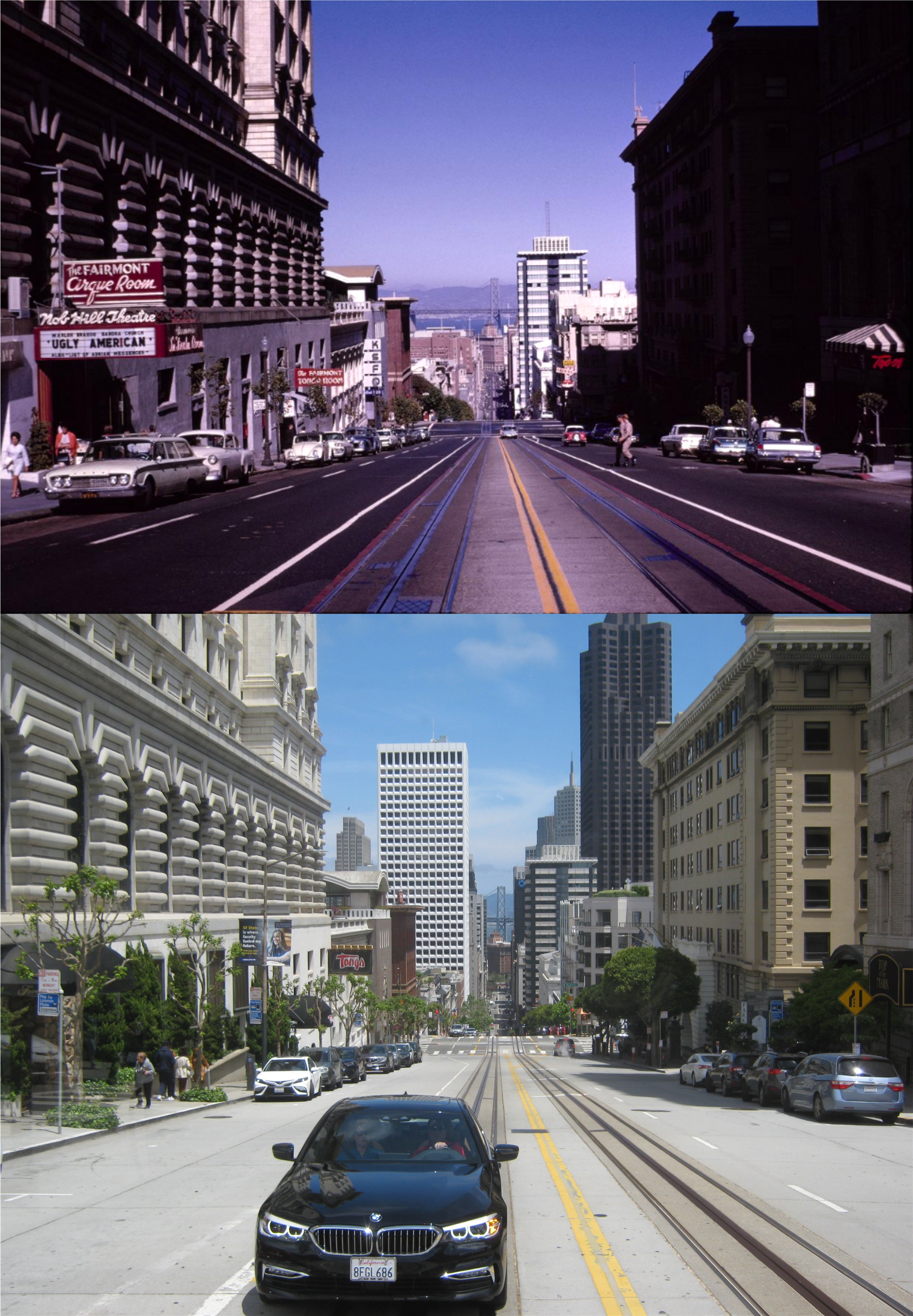
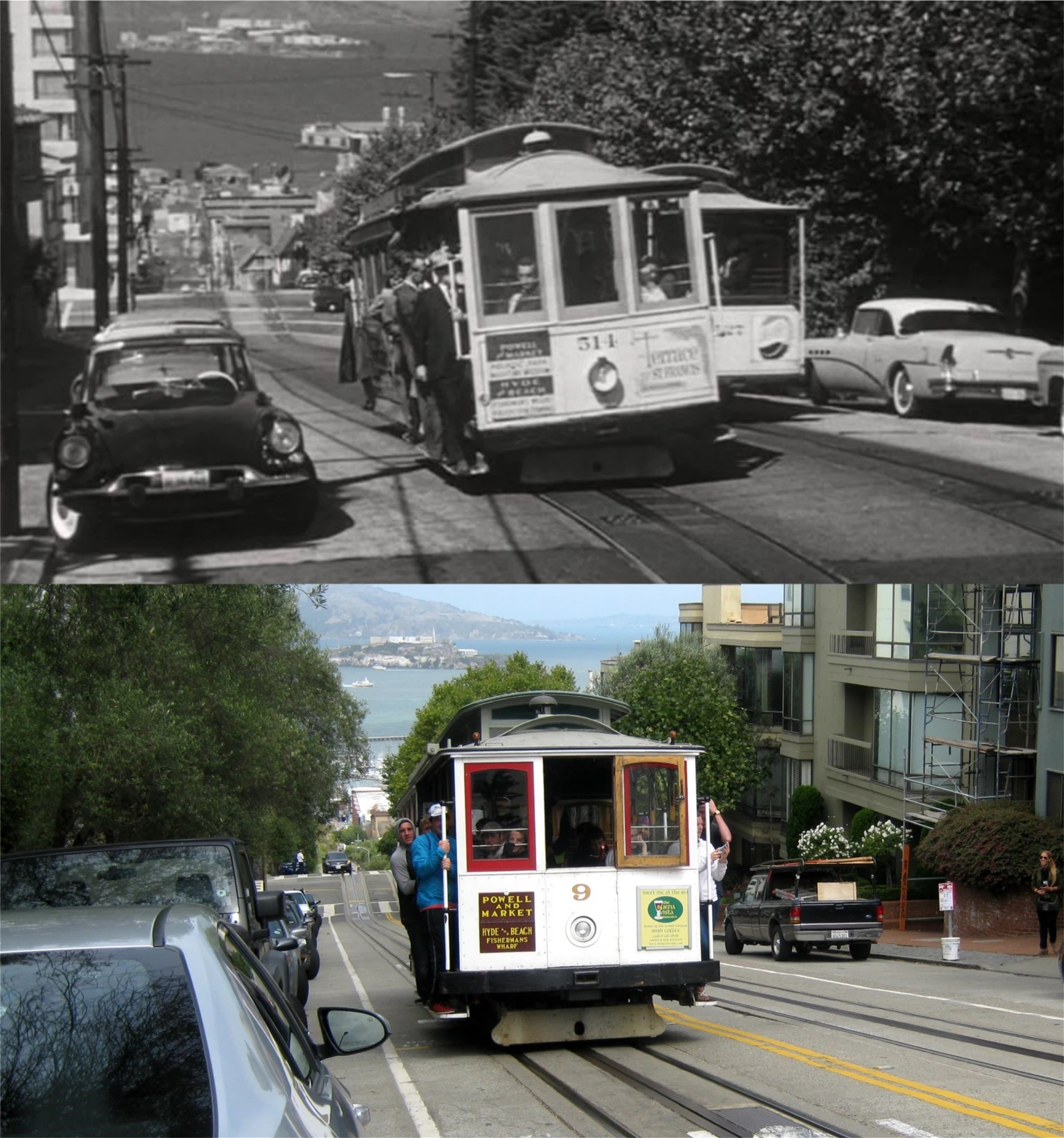
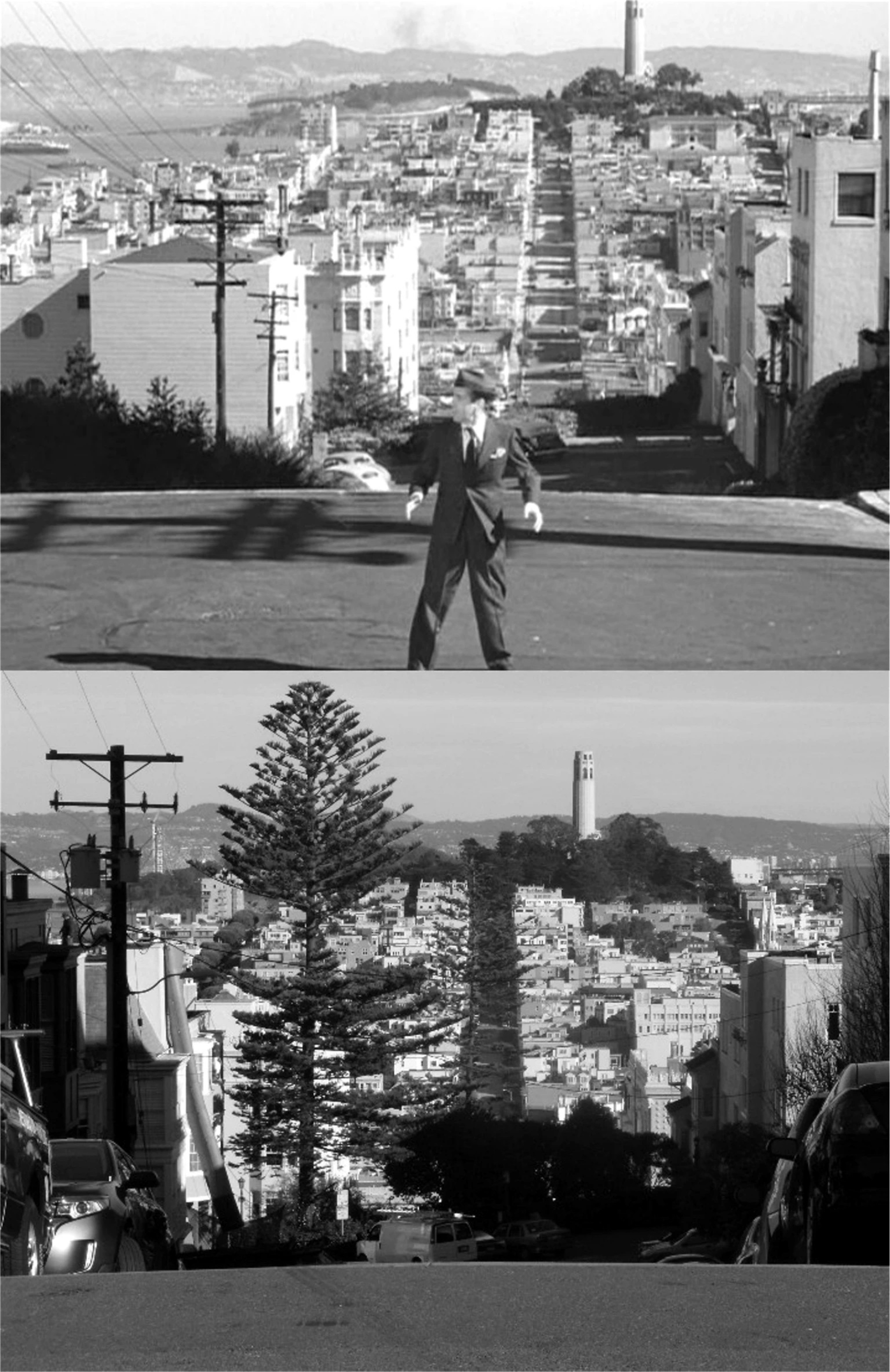
‘Vertigo’ – 1958: Probably the most popular San Francisco film, made back when stalking was considered romantic.