“Ch-ch-ch-ch-changes” (Thumbnail images)

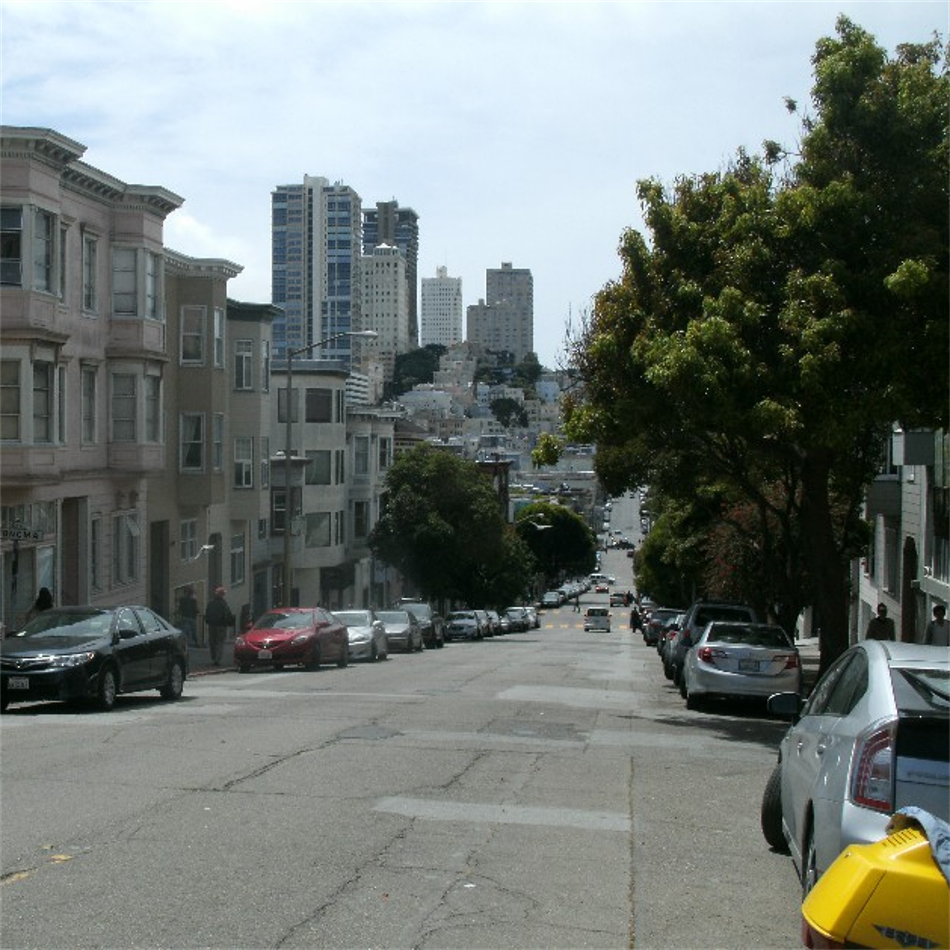
San Francisco has changed due to the COVID-19 Pandemic more than it has since the 1906 Earthquake and Fire, unless you count the 1960s skyscraper boom, and I’ll try to ignore that. When I write about changes in San Francisco, it’s actually worldwide, but since I haven’t been out of the Bay Area since the shelter-in-place order was issued in March, I’ll keep it local and respect the fact that this is only a small portion of the impact and problems effecting the whole world. This collection concerns some of the changes in San Francisco since the pandemic and some of the city’s prospects. Also, I’ll cover some of the places and things that will survive, and others that haven’t or may not.


The southern side of Union Square in 1943, and one of two entrance and exits today to the parking garage: Although things are picking up, you’re still not going to have much trouble finding parking space in San Francisco’s most famous parking garage. Herb Caen once referred to people who had hopes of finding a parking space here during a busy day downtown as a “Sorry, full lot.” (ebay.com, lobsterclaws)


Across Powell Street from Union Square and the northern side of the St. Francis Hotel in 1955: The hotel industry in San Francisco has been devastated by COVID-19, and some projections for a full recovery extend as far as 2025, and beyond. My picture is a little more wide angled than the vintage picture, but it’s probably for the best. (ebay.com)


One of the things I miss the most is the F Line of vintage streetcars that run along Market Street and the Embarcadero; seen here in front of the Ferry Building, and compared to a vintage picture in the 1930s from the Charles Smallwood collection. Like the cable cars, they still run these streetcars in practice occasionally, so they’ll be back some day.


There’s even talk of the Cliff House closing forever, which I do not for one minute believe! This vintage picture of the Cliff House is one of the earliest I’ve seen and probably goes back to the 1860s. (SF Chronicle / SF Gate)


One thing that didn’t survive, and I’ll always miss it, is the Louis Restaurant, just up from the Cliff House. Louis’s had been around since 1937, and was standard routine for me when showing out-of-town visitors around San Francisco. The vintage picture was taken in 1966 during the fire that destroyed the Sutro Bathhouse next to Louis Restaurant.


The World War Two Liberty Ship, the Jeremiah O’Brien, was moved from Pier 45 to Pier 35 last May after the fire that destroyed part of Pier 45. Lonely and mostly empty today, there’s talk that she may move back to Pier 45 as early as September, and like the F Line of Streetcars, I’m rooting for that too.


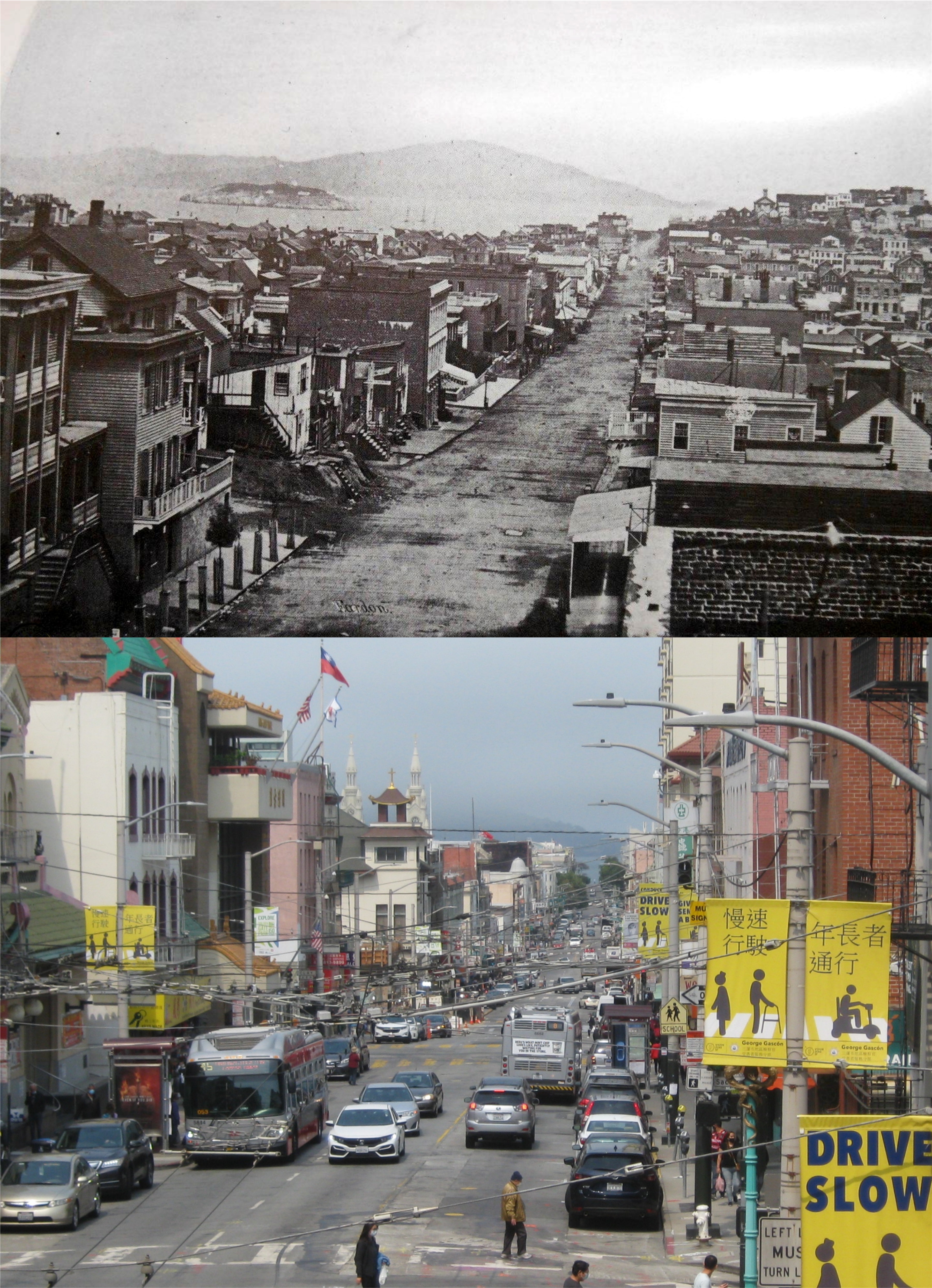
And what about Chinatown? The 1906 Earthquake and Fire destroyed every single building in Chinatown. Chinese were not particularly popular at the time, and there was talk of relocating the district down to today’s Bayview Area. Chinatown quickly built two pagoda style buildings at the intersection of California Street and Grant Avenue, (then called Dupont Street) the Sing Fat Building, seen here in the 1920s, and the Trademark Building across California Street. The Chinese citizens made it clear that they weren’t going anywhere. (ebay.com, girlcat)


Unless it’s eaten again by a giant octopus, the Ferry Building, San Francisco’s “grande dame” will survive COVID-19. The Farmers’ Market is thriving on weekends, and people are shopping in the building once again. (ebay.com)


Baseball is back in San Francisco, but “far from the maddening crowd” and the Giants aren’t doing much better than they did last year. The first two photos  I took looking across McCovey Cove on October 26th 2014 before the 5th game of the World Series. The Giants won that game and went on to win the 2014 World Series, one of the most exciting ‘Fall Classic’ ever played. The second two pictures  were taken last week, September 16th just before the start of a night game against Seattle that was moved to San Francisco because of bad air quality around Seattle. The Giants won that game too.


So, I guess if it can come back from Godzilla, San Francisco will be back to normal someday after COVID-19. The crowned building in the center of the vintage picture was the Call Building in 1900; at that time the tallest building in San Francisco. The Call Building survived the 1906 Earthquake and Fire. In the late 1930s, the crown was removed and the building was remodeled. It’s the white and brown striped building in the center of my picture. (ebay.com, cat’s paw prints)


Noir Sunday (Thumbnail images)

One of the television channels I’m able to get at home shows film noir movies Sunday nights under the title ‘Sunday Night Noir’. In fact, there’ll probably be a couple for me to screen tonight. To get in the mood, I’ll post  a collection of film noir movies set in San Francisco that I’ve done comparisons on. So, wait until it’s dark, grab a bottle of hooch, keep a “roscoe” handy, be wary of any femme fatales, and check out my post. Some of the DVDs I used haven’t been fully restored, but they’re clear enough, and they may spark your interest in the movies if you haven’t seen any of them yet. (Movie posters, Wikipedia, Amazon.com, Moviepostershop.com)


‘Red Light’, from 1949 starring George Raft and Virginia Mayo, was a movie I just recently saw on ‘Sunday Night Noir’. Any movie that opens up driving out of the Yerba Buena Tunnel onto the Bay Bridge can’t be all bad, and this one isn’t, although the religious motif is seldom used in movies today.


Elisha Cook Jr. arrives at the Ferry Building on a mission to kill in the 1947 film ‘Born to Kill’, also starring Laurence Tierney and Claire Trevor. Ferry service to the Ferry Building has been considerably reduced since the outbreak of the COVID-19 virus.

Shady detective Walter Slezak crosses the Embarcadero from Market Street to leave San Francisco by ferryboat after reading in the paper of the violent deaths of the people he was investigating at the end of ‘Born to Kill’. “The way of the transgressor is hard.” he quotes from the bible as he leaves. My picture may have been better without the F Line streetcar in it, but now that they aren’t running I miss them and it’s okay.


The opening scenes from the 1950 movie ‘Experiment Alcatraz start with a view of the skyline and piers south of the Ferry Building from under the Bay Bridge. All of these piers have been demolished now. This is an interesting oddity about an experiment by the army with convicts from Alcatraz Prison that goes wrong.


“Speedy’s” Market, just visible on the left, on Union and Montgomery Streets in the 1951 film ‘The House on Telegraph Hill’ starring Richard Basehart, Valentina Cortese, and William Lundigan: I’ve posted this before, but I’m reading another one of Herb Caen’s wonderful books, ‘One Man’s San Francisco’ from 1976, and he has an interesting passage about Speedy’s, that made me miss the tiny market, which closed in 2007 after ninety years. I’ll include his passage below.

{Also that day, playwright Lillian Hellman, who wrote The Little Foxes among other classics, walked into Speedy’s old grocery on Telegraph Hill, another timeless landmark on the Saroyan map. She had just moved into a nearby penthouse (she was lecturing at UC-Berkeley at that time) and wanted to establish credit. “You’ll have to fill out the usual form.” said George Atashkarian, the Armenian who owns Speedy’s. “But I’m Lillian Hellman,” protested the playwright. “That doesn’t mean too much to me,” said George. “Look, I’m George Atashkarian, does that mean anything to you? “No,” said Miss Hellman. “I see what you mean.” She trudged back to her digs and returned with a clipping of a newspaper interview with her picture. She got the credit. And the clipping is now tacked to the wall of Speedy’s.}


Edmond O’Brien crosses the intersection of Jones and Sacramento Streets on Nob Hill and stumbles into a medical clinic after learning that he’s been poisoned in the 1950 film ‘D.O.A.’. Grace Cathedral is in the background.


 The view down California Street past the Fairmont Hotel in the 1949 film ‘Impact’ starring Brian Donlevy and Ella Raines:


 The same view as the previous picture but in the middle of California Street (you get a clearer view of the Cirque Room at the Fairmont Hotel, as well) from the 1958 movie ‘The Lineup’ starring Eli Wallach:

Also from ‘The Lineup’, the entrance to Sutro’s Museum, and the best look on film of the old Sutro Bathhouse: The car parking in front of the bus contains killer Eli Wallach, his partner Robert Keith, and a woman and child that they’ve kidnapped.


Glenn Ford, being chased by the police, turns into Genoa Place from Union Street in the 1949 film ‘Mr. Soft Touch’. You get a better view of Russian Hill in the background from out in the street here today.


An auto containing lovely Joan Bennett races to the end of Pier 4 in the 1940 movie ‘The House Across the Bay’. This was not the same Pier 4 that was south of the Ferry Building on the Embarcadero. In the background are the Maritime Museum, Ghirardelli Square, and Aquatic Park. You can see the curve of the Van Ness Municipal Pier behind Pier 4 in the background of the film shot. Pier 4 has been deemed unsafe and is off limits now. I took my photo from the Van Ness Pier.

In the previous picture, Joan Bennett was hurrying to say goodbye to her lover George Raft on Pier 4, who was being taken by boat to Alcatraz Prison. She was late and missed to boat. Because the pier is closed, I took my picture at the beginning of the pier, looking out to where Joan was standing. This was the pier where convicts and visitors were taken by boat out to Alcatraz Island. The building on the left was where prisoners waited under armed guard for the boat that would take them out for their stretch. It’s an historic area of San Francisco and I hope the old pier can be saved.


Nineteenth Century views from “Nabob” Hill (Thumbnail images)

The origin of the word nabob come from the early 17th Century and refers to individuals who returned to England from India after acquiring a fortune from there. In San Francisco, the word had a slightly derogatory usage referring to the “snobbish” upper class citizens living in opulence up on “Nabob” Hill. By the mid 19th Century, the hill official became Nob Hill, which is probably better than Nabob Hill. Today, it still has the aura of the well-to-do, but unlike Pacific Heights, much of the hill is open to the public. These are a collection of pictures from the mid to late 19th Century showing different views from “Nabob” Hill, most of which are still breathtaking today. We’ll start at Jones Street and end up on Stockton Street

Clay Street, looking east from Jones Street in 1875: Yerba Buena Island can be seen on the left in the vintage picture. (opensfhistory.org)

Mason Street, up from Clay Street, in 1865: Angel Island is in the distance, Russian Hill is on the left. I wonder what that structure on top of Russian Hill was. Maybe that’s where they got the idea for Lombard Street. (opensfhistory.org)

The Mark Hopkins mansion on the corner of Mason and California Streets: By nature, I’m inclined to think that nobody ever needed a house that big. (SF Chronicle)

“Hey, kids! Why don’t you go play in some other room of the house, huh?”

“Which one? We have 75 of them!”

The view past the Hopkins mansion, south down Mason Street, circa 1888: (opensfhistory.org)

Looking east down Sacramento Street from Powell Street in 1865: Arnold Genthe would later take one of the greatest pictures in photographic history from this spot in 1906 during the San Francisco Earthquake and Fire. (opensfhistory.org)

Looking southeast down California Street from Mason Street in 1870: The church at the bottom of the hill was named Grace Church. It was destroyed during the 1906 earthquake and rebuild as Grace Cathedral further up Nob Hill.

Looking east on California Street approaching Stockton Street in 1891: Grace Church is on the right.


An undated picture, probably taken after the 1860s, looking north along Stockton Street: Alcatraz Island can be seen in the vintage picture. My comparison photo was taken on top of the Stockton Tunnel.


.


Niles, 2020 (Thumbnail pictures)


Margot Patterson Doss was a columnist who wrote wonderful articles for the San Francisco Chronicle under the title of ‘San Francisco at Your Feet’ and later in her career ‘The Bay Area at Your Feet’. In 1978 she wrote about the history of movies in Niles in her column entitled ‘The Movies’ One-Horse Town’. There wasn’t a lot of information available at that time about the history of Niles, and the article was a real treat for me. Margot’s articles were always a walking tour, complete with map, and I took her walking tour long ago and kept the article. I retook her Niles walk again this week. Some of this chapter of hers is outdated now, but it’s still the best single article I’ve seen concerning the film history of Niles. Margot Patterson Doss died in 2003; let’s take an internet walk with her around Niles and I’ll post some of her comments in brackets.

Much of the historic buildings in Niles are temporarily closed now due to the COVID-19 Pandemic, and a lot of the places I love to visit can only be seen from outside right now. Like Margot did forty two years ago, we’ll start at the train station.

{Park by the boarded up depot, ideal for a community center or railroad museum, and take a look at that train station and its palm trees. The bow at the ticket-wicket and the columns topped by window pilasters are such perfect architectural details, it should be nominated for the National Historic Register, an idea which has appealed to many townsfolk here}

The Train Station, which was moved to Mission Blvd. in 1982 and in 2009, back to the spot where it originally stood when it was built in 1911, is a railroad museum now.

My older brother David and I posed in front of the train station when it was boarded up before Margot wrote her article. You can tell the vintage picture was long ago because of my brother’s hair.


{Walk another block along Niles Boulevard, noting Don’s Antique Autoparts and the cigar store Indian in front of the Devil’s Workshop Mercantile, as you pass.}

I think Don’s Antique Autoparts is still there, but the cigar store Indian is gone. Two things Margot doesn’t comment on along this stretch because they may not have been known to her then, are the old movie theater where Charlie Chaplin premiered the five movies he shot in Niles and the house where Edna Purviance, Chaplin’s leading lady in the films he shot during his stay in Niles, used to live in. They’ve replaced the old fence now that was in front of Edna’s house when I took the top comparison in 2016.

{At Niles and G, Holland Gas, a suitably simple service station, stands on the site of the old Essanay building. All told, Essanay produced 450 Pictures in and around Niles, using Bronhco Billy, Ben Turpin, Wallace Beery, Jimmy Gleason, Zasu Pitts, Ethel Clayton, Marie Dressler, and nearly 50 lesser known talents.}

Holland Gas is gone now, and a fire station is now on the corner where the Essanay Movie Studio once was. The vintage photo of the studio taken in the late 1920s after the studio closed is from John Bengtson’s book ‘Silent Traces’.

{Bear left on G half a block to number 153-5, which was Broncho Billy’s office and cottage.}

This is where Broncho Billy stayed in Niles today. You’ll read more about him shortly.

{At Second Street, bear left along the lane of California sycamore trees. In 1912 this row of cottages was built to house performers on location. Many of the homes in this block are modifications and alterations of those early “dressings rooms.”}

This is the row of cottages today.

{At G Street bear right, crossing Second. Sidewalks, installed in 1930, have yet to be extended here.}

42 years after Margot’s article, and they still haven’t extended sidewalks here.

{At the Alley, cross G Street and bear left. The ramshackled, shake-roof barn is where Broncho Billy stabled his horse.}

Broncho Billy was the movies first major cowboy star.  Demolished in the 1980s, I remember looking at that barn when I first traced Margot’s map, fascinated by its history, but alas, alack, and Alaska, I didn’t have a camera to take a picture of it. “It is to weep.” Billy’s barn was right here behind the fence with the blue dawn flowers.

The rest of my visit was not on Margot Patterson Doss’s route. The old Niles Jail here now houses an insurance company. I’d like to think that Broncho Billy threw a bad hombre or two in here during his stay in Niles, but the building may have been built after his films were made in Niles.


East of the city of Niles is Niles Canyon, where Broncho Billy filmed most of his outdoor action scenes. It was also out in Niles Canyon, before the main highway ran through it, where Charlie Chaplin’s little tramp wandered off into folklore. Above, is a vintage picture posted on Pinterest of a train on the old Sunol-Niles Railroad route crossing the highway. You’re not allowed to stop on the highway here, so I had to take my picture as quick as I could. I didn’t get a train in my shot either.

Margot also wrote, {It was also down one of the tree-lined country lanes around Niles Canyon that a winsome little comedian named Charlie Chaplin waddled his way into the sunset and the hearts of filmgoers as “The Tramp.” The final fadeout in which the rejected tramp with the expressive cane walks off down the lane toward a brighter tomorrow became the signature as well as signoff of later Chaplin films. Which was the tree-lined lane of the little tramp? Today, only Chaplin knows.}

Not anymore, thanks to the historians at the Niles Museum who located the spot and directed me to it to get this comparison picture back in 2018. Also, Margot writes of the tree-lined lane, “Today, only Chaplin knows.” Charlie Chaplin died on Christmas Day, 1977, so Margot may have taken her walk before the article was published in 1978, or my recollection of the 1978 date of the column may not be accurate; “only Chaplin knows.”