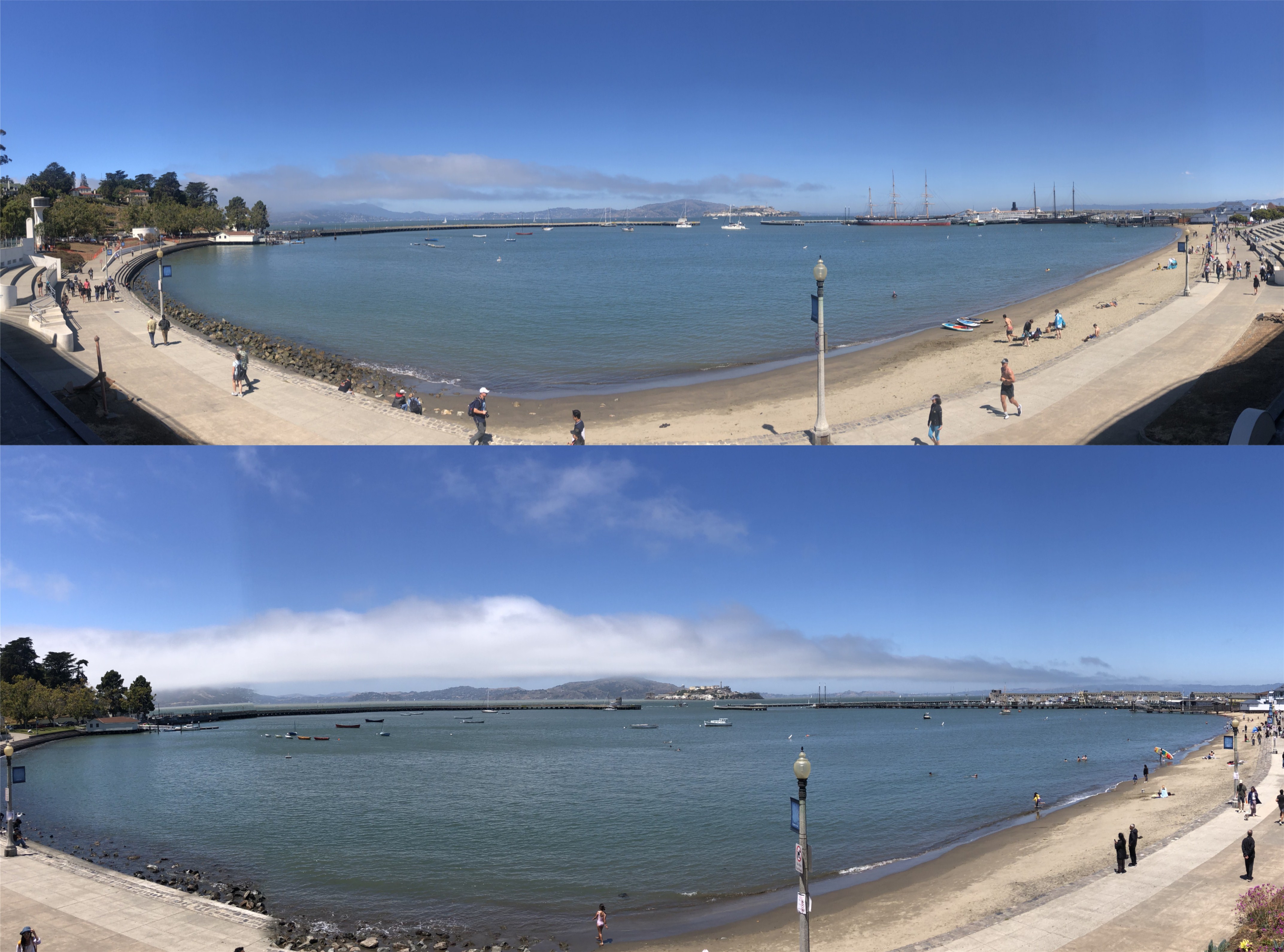
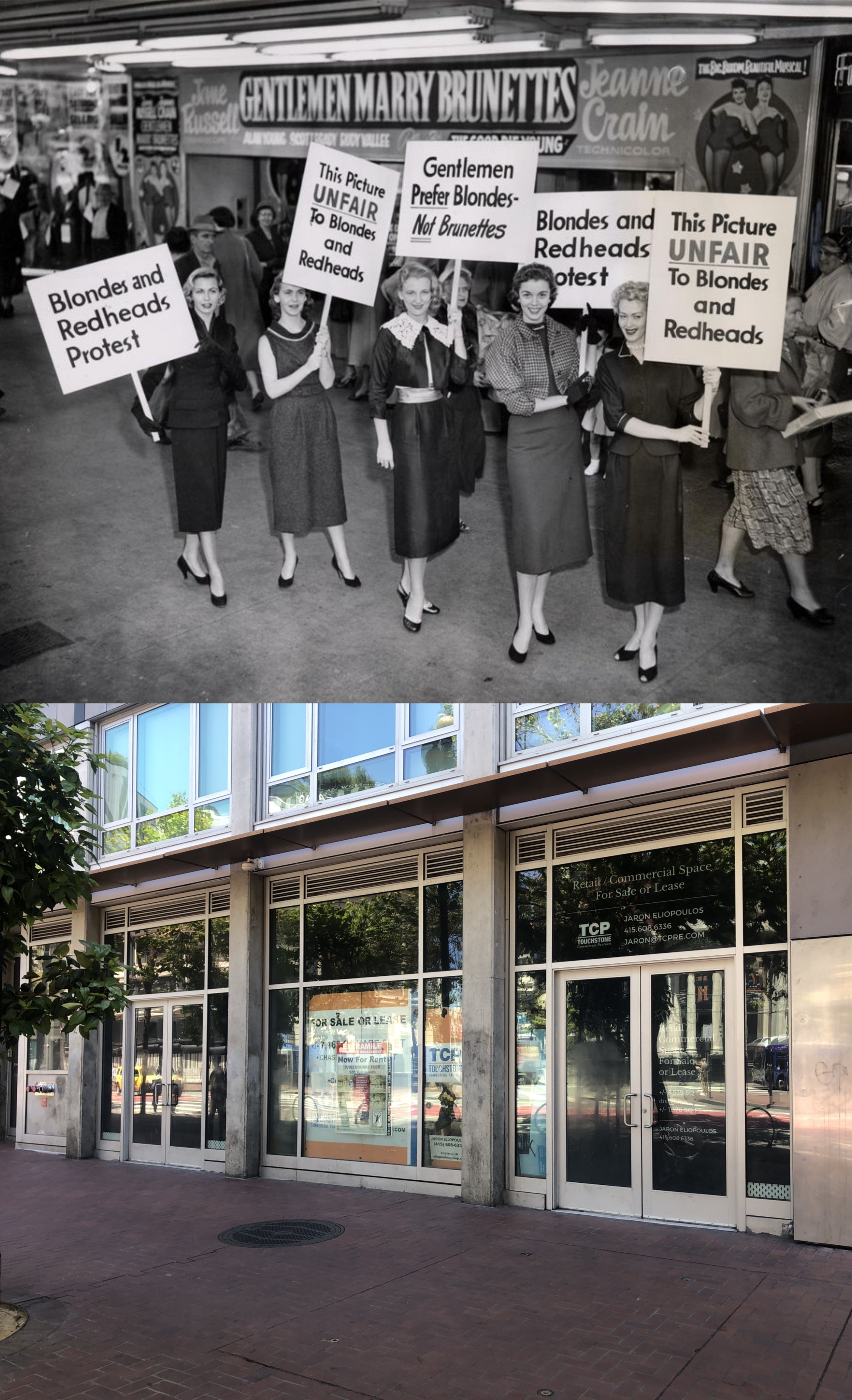
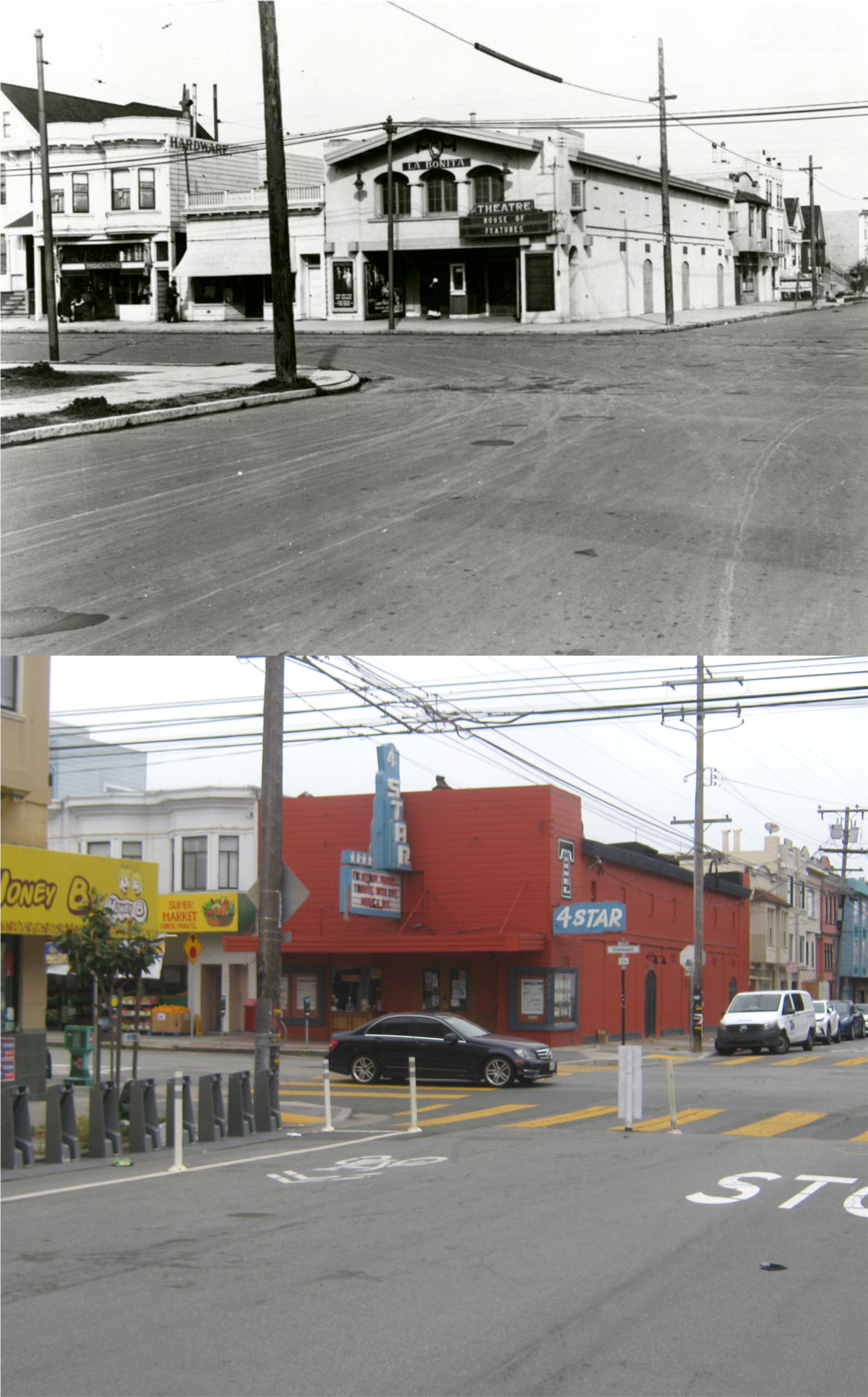
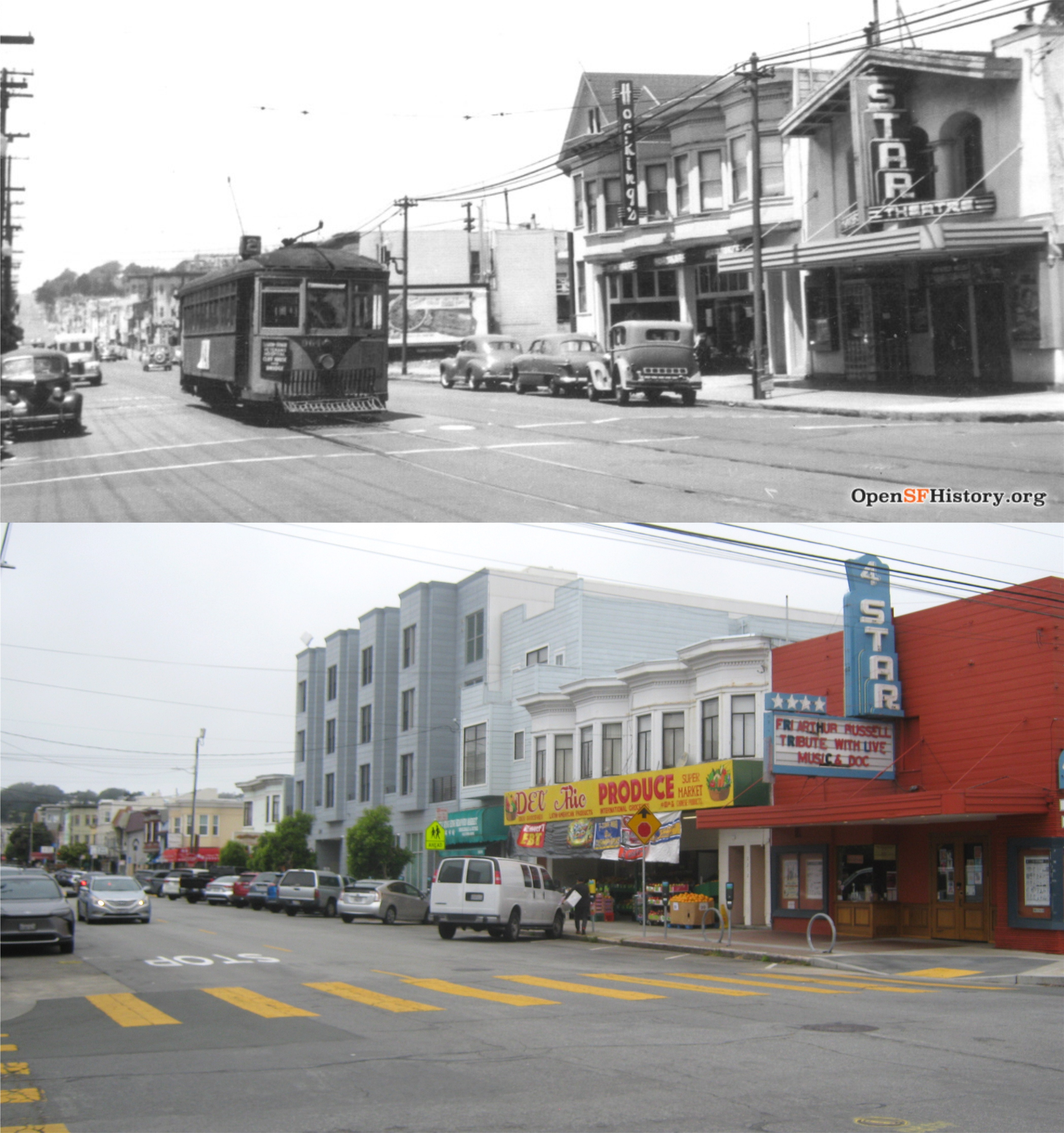
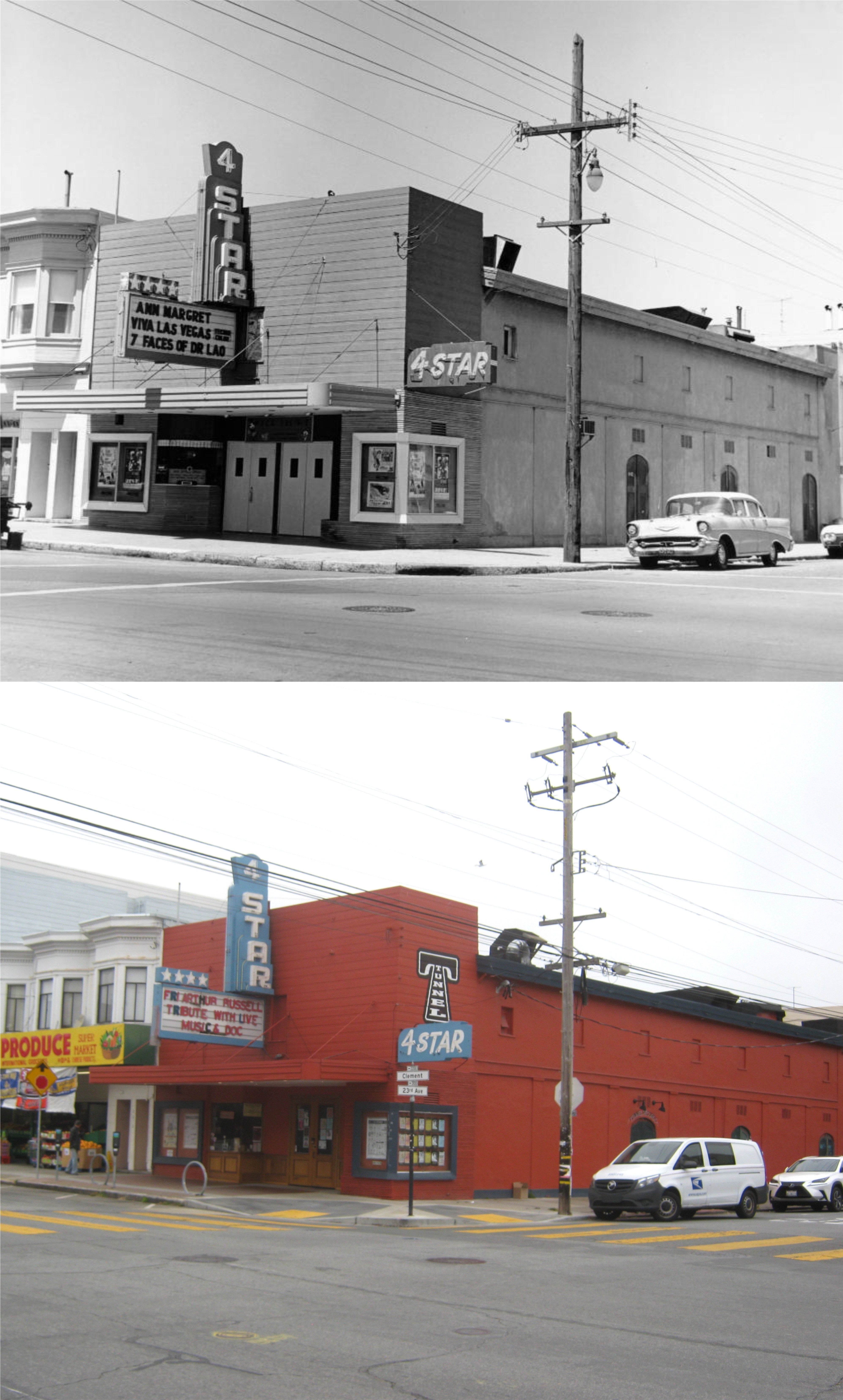
Sometimes, I just have to go to the Ferry Building; you know how it is. It’s easily the most famous building in San Francisco, and one of the top two structures in the City that completely represent San Francisco, the other being the Golden Gate Bridge. I picked a perfect day to go there yesterday, August 1st, as I got a lucky break I’ll comment on later. (Thumbnail images)
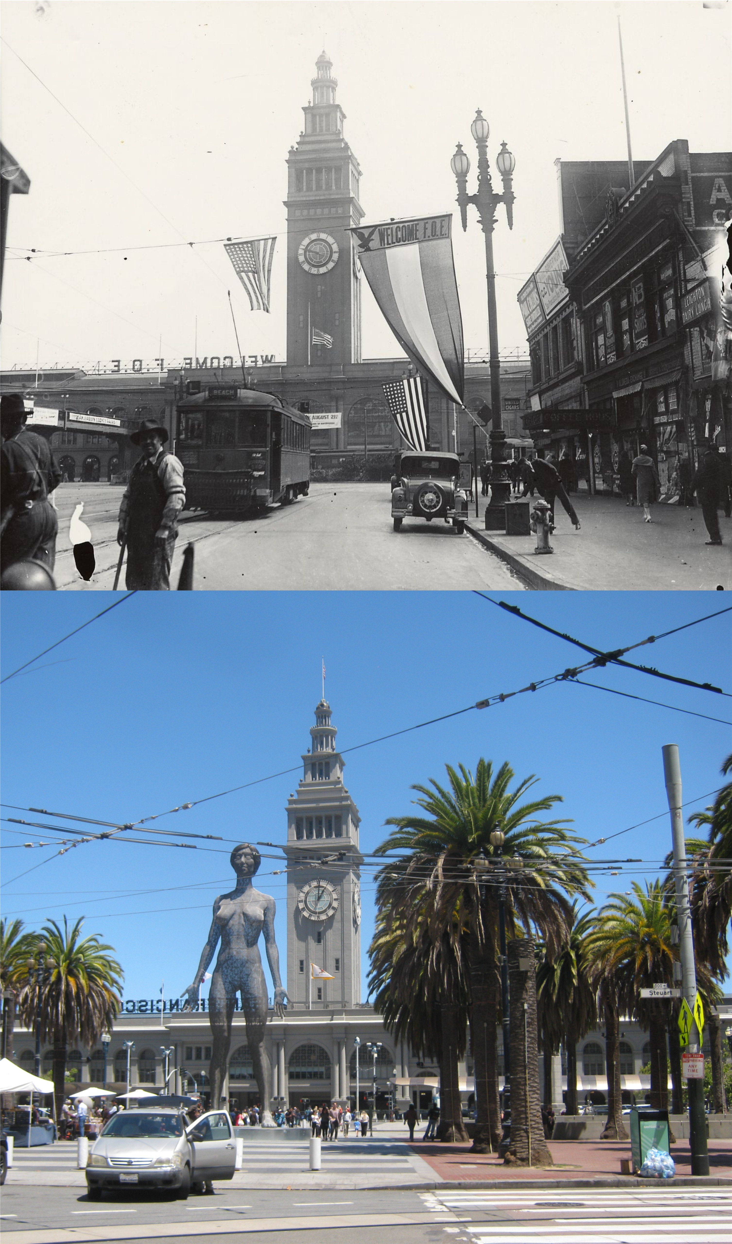
The south side of Market Street at Steuart in 1911: F.O.E stands for the Fraternal Order of Eagles. The entire block of buildings on the right would be demolished by the 1960s. (San Francisco Library Digital Archives)
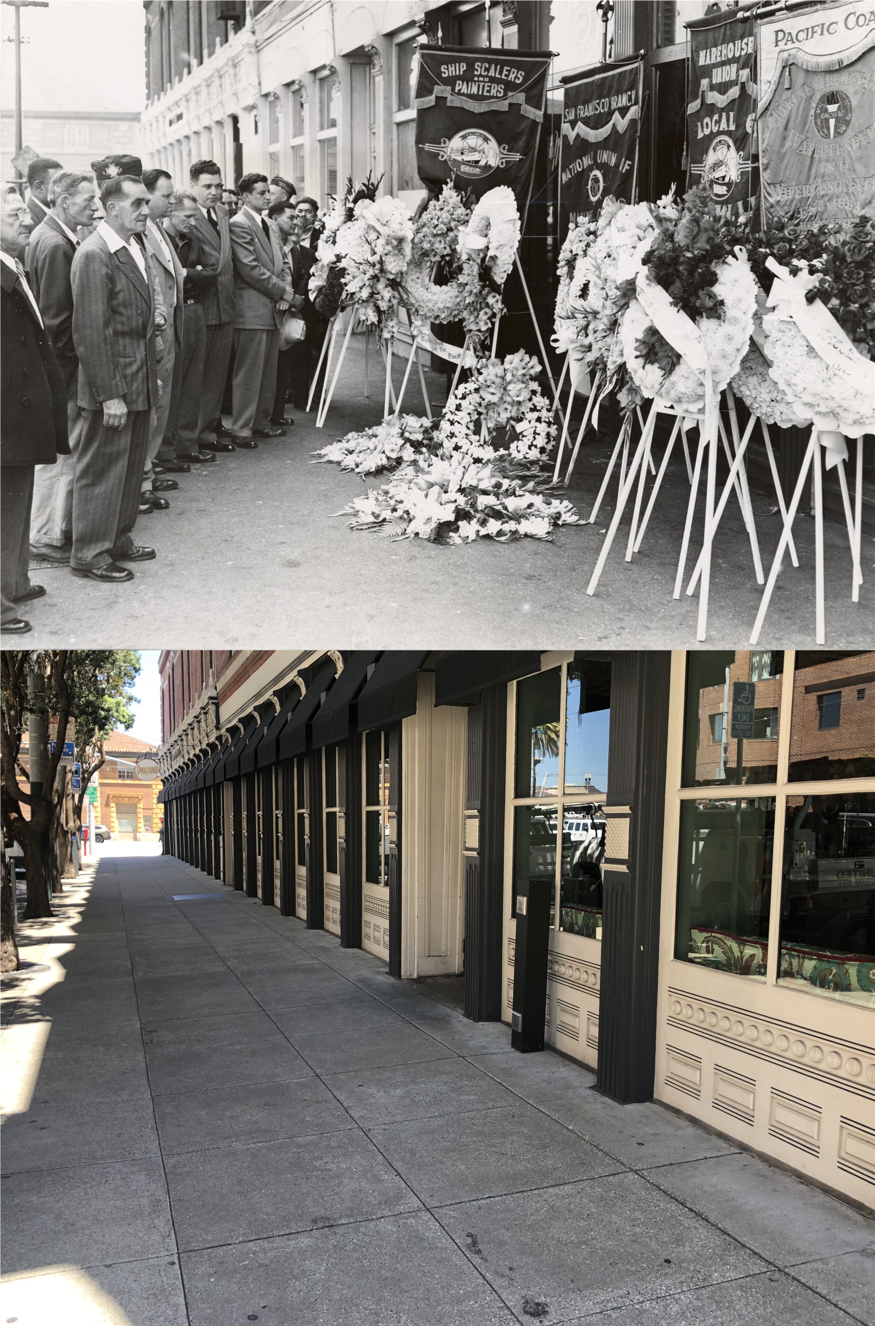
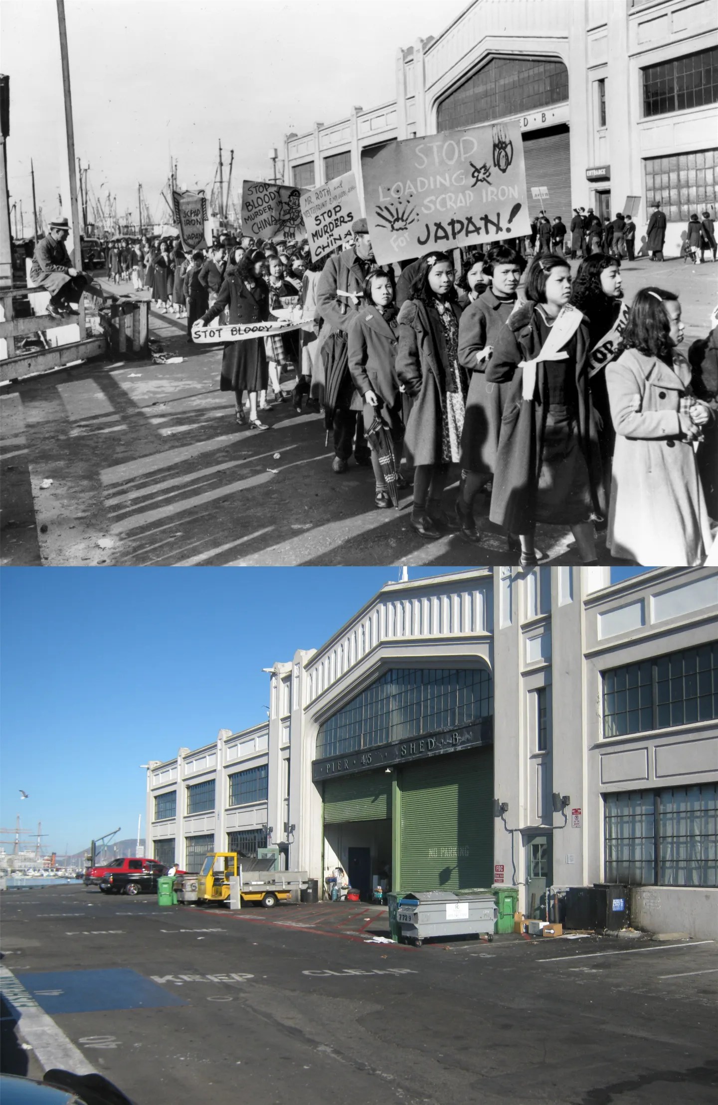
It’s eight years short of a hundred since “Bloody Thursday” when two striking dock workers were killed by police officers in the intersection of Steuart and Mission Streets in July of 1934, two blocks from the Ferry Building, and the incident has slipped out of focus with time. However, in 1950, the memory of the shootings still caused a passion in many San Franciscans. Here, in 1950, a wreath ceremony was held on the southeast corner of Mission and Steuart where two of the three men shot (one survived) had fallen. This is next to the Audiffred Building. (San Francisco Library Digital Archives)
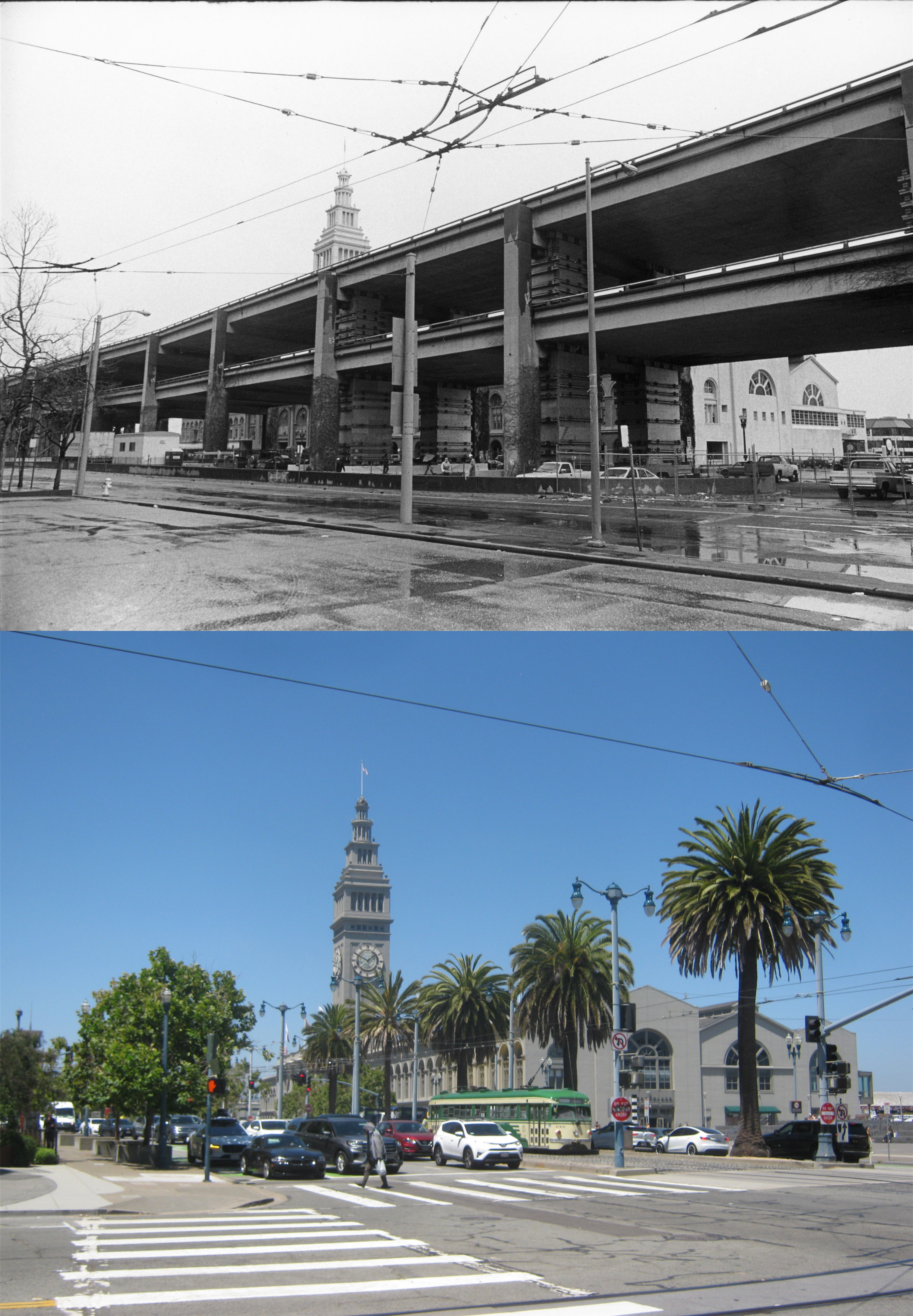
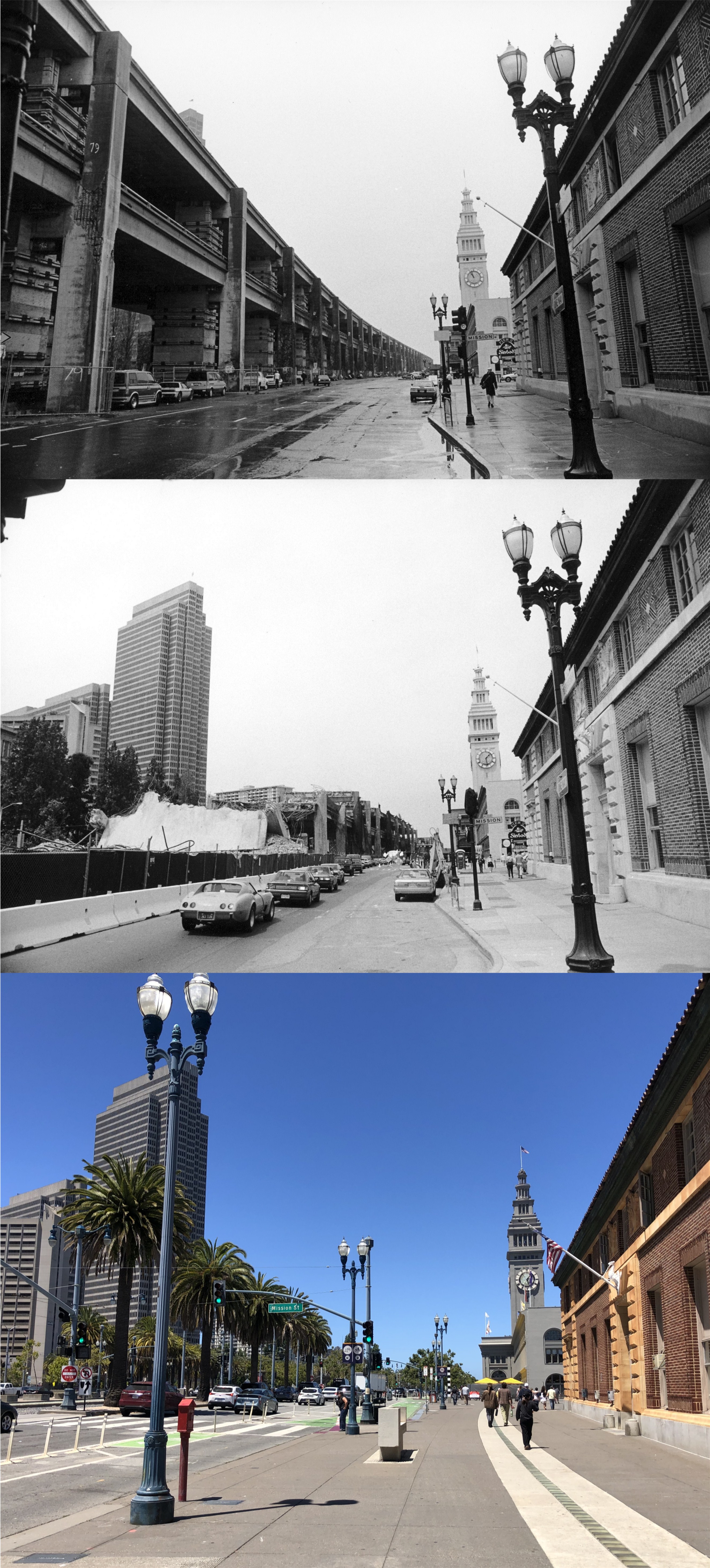
The Ferry Building behind a closed and empty Embarcadero Freeway in 1990: The view is from Mission Street. (San Francisco Library Digital Archives)
A little bit closer to the Ferry Building than the previous set in 1991, as demolition of the Embarcadero Freeway is underway: I don’t know what that is shining on top of the Ferry Building in the vintage picture, but it probably wasn’t the Star of Bethlehem. (San Francisco Library Digital Archives)
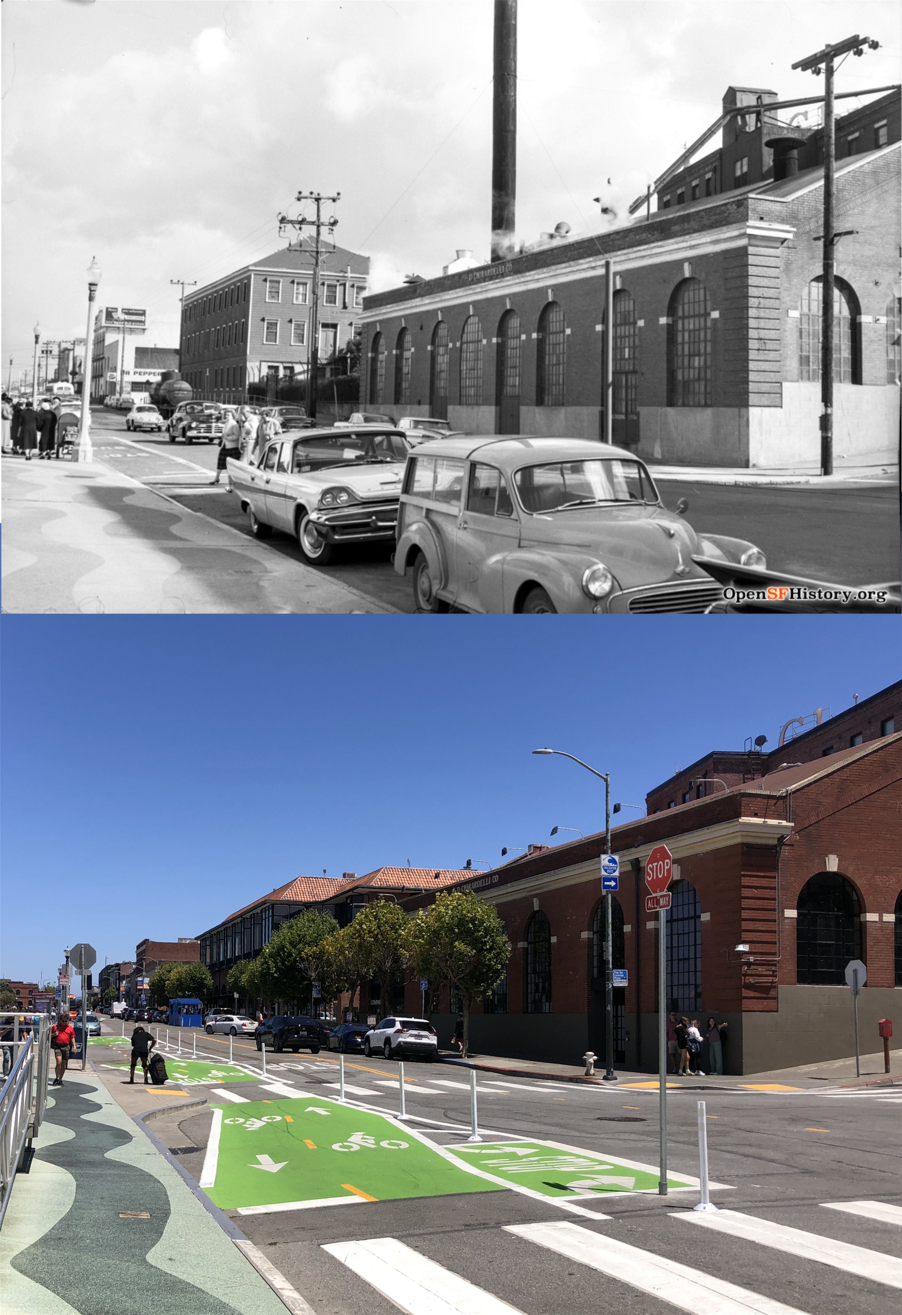
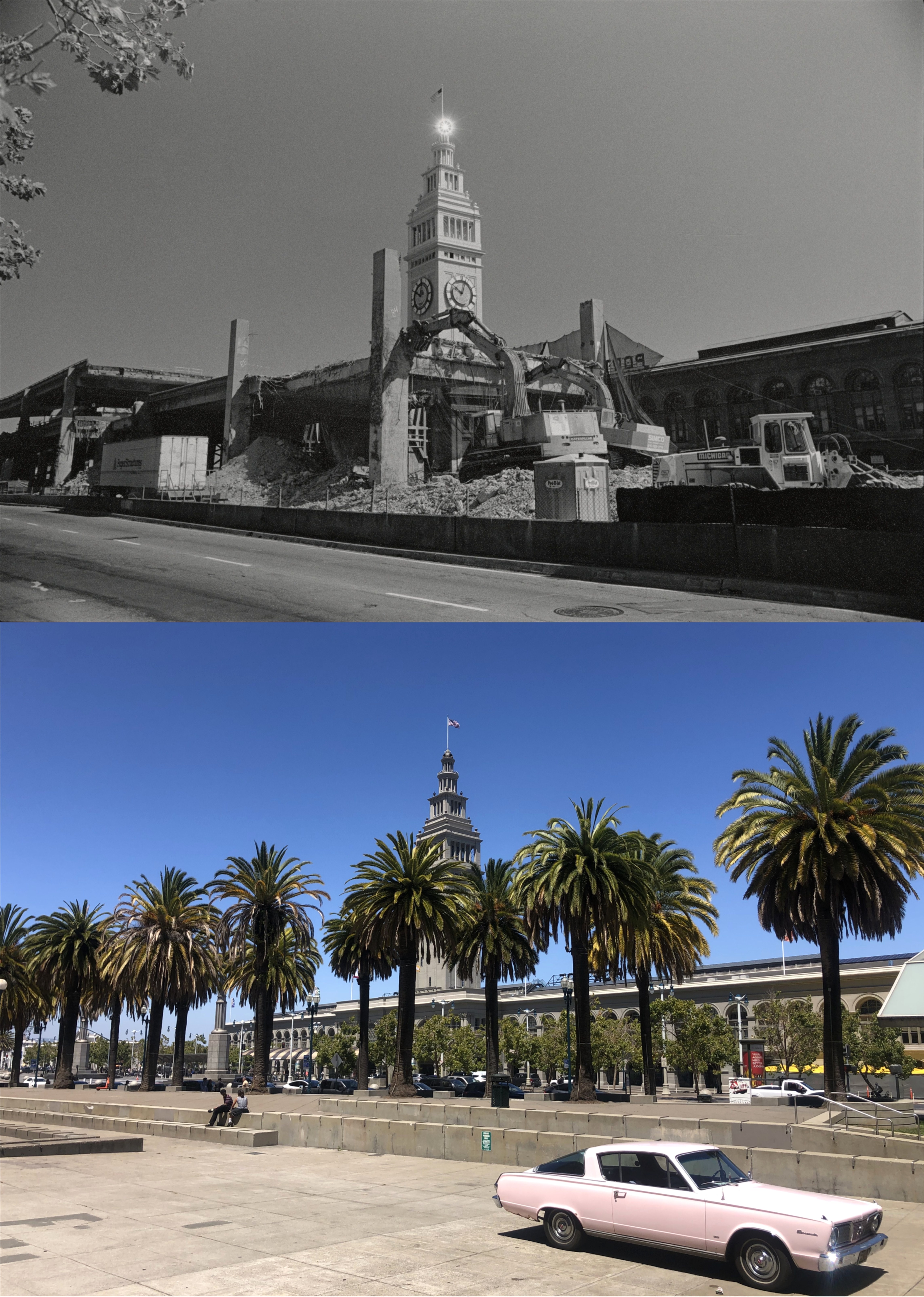
A three-spot on the Embarcadero at Mission Street in 1990, 1991, and 2026: (San Francisco Library Digital Archives)
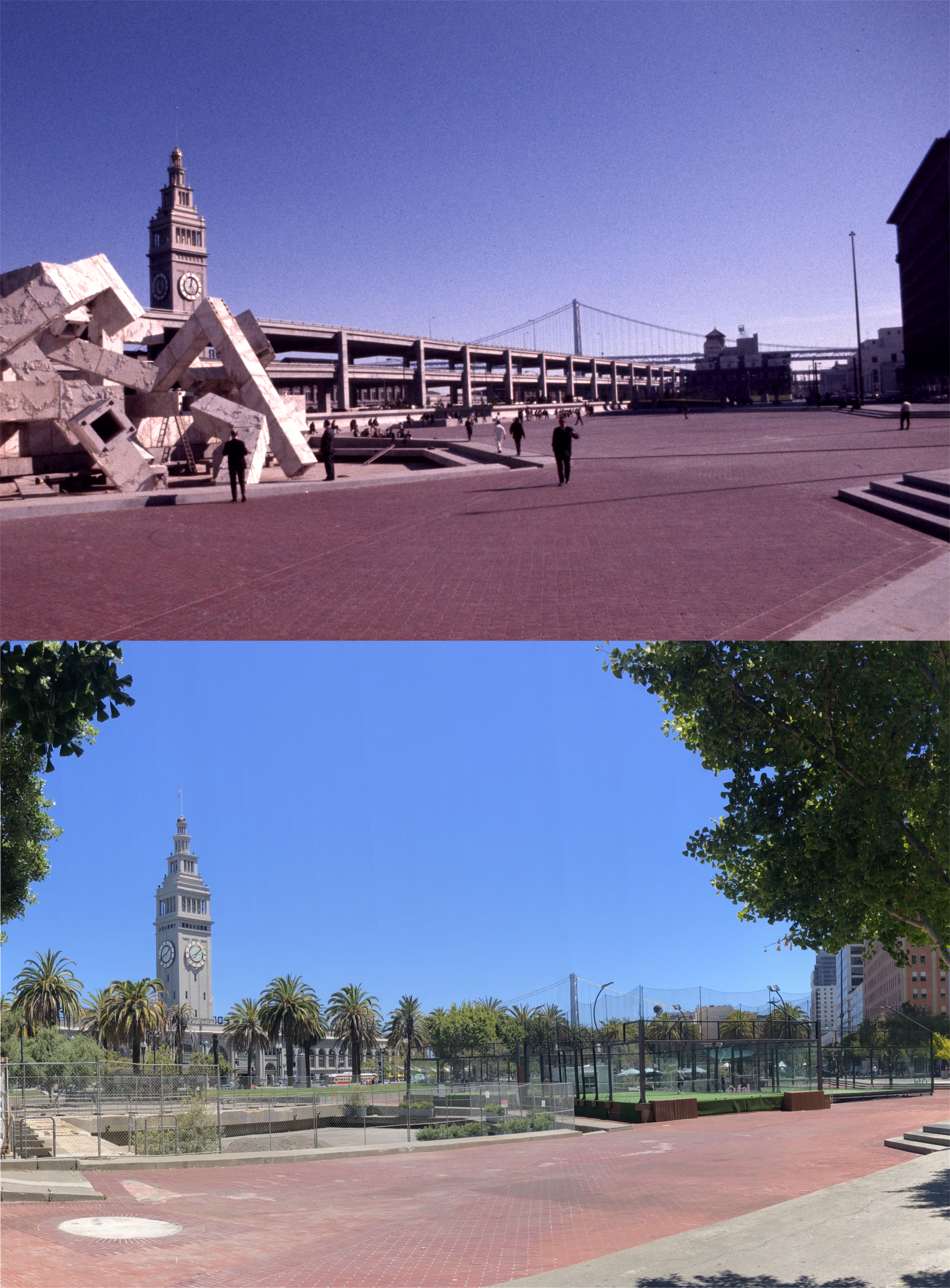
The Embarcadero Plaza in 1971: The Vaillancourt Fountain, on the left, was dismantled and removed several months ago. (San Francisco Library Digital Archives)
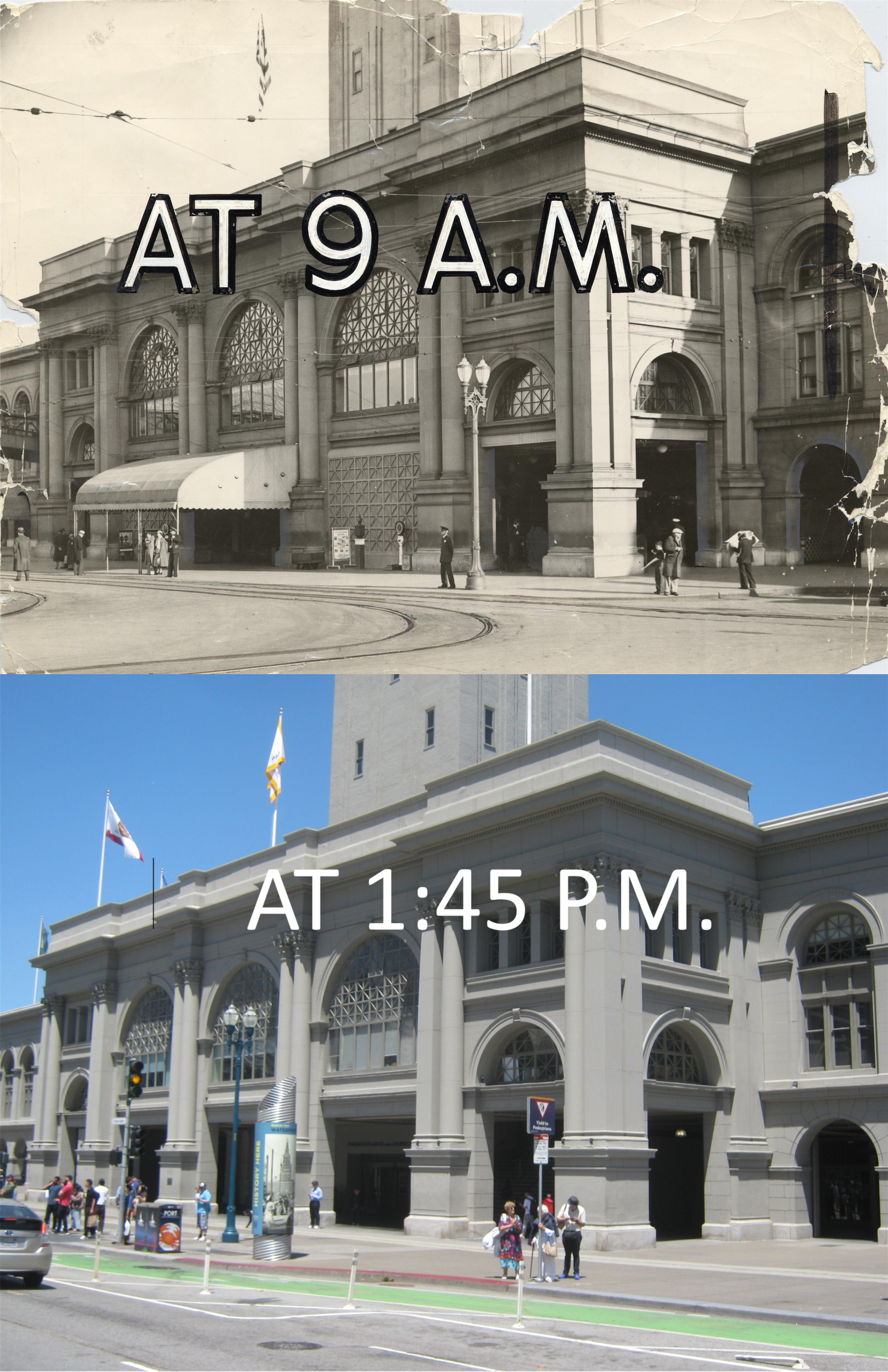
The main entrance to the Ferry Building in 1939: I don’t know who put the AT 9 A.M. on the tattered vintage picture, but they’re not going to show me up. (San Francisco Library Digital Archives)
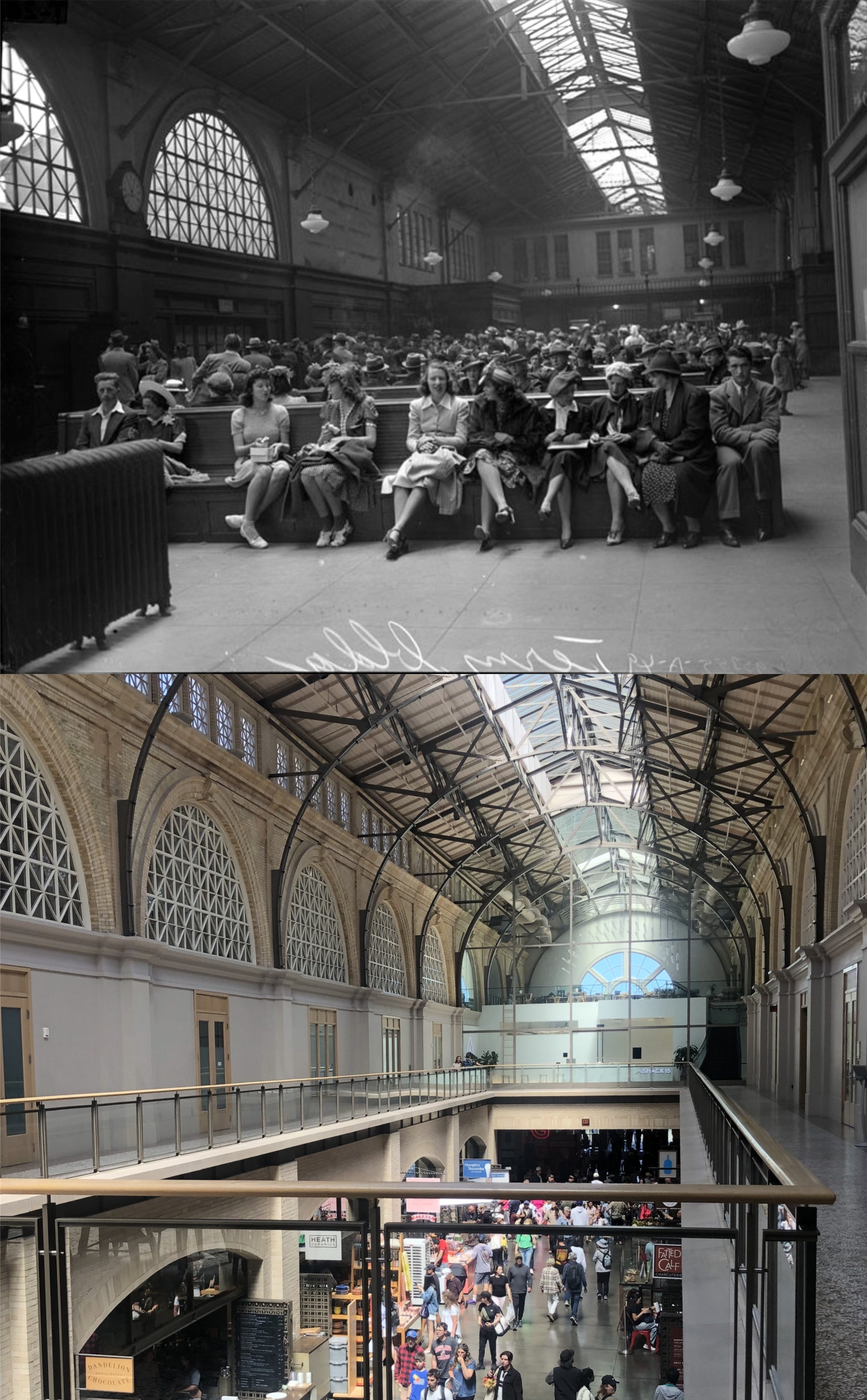
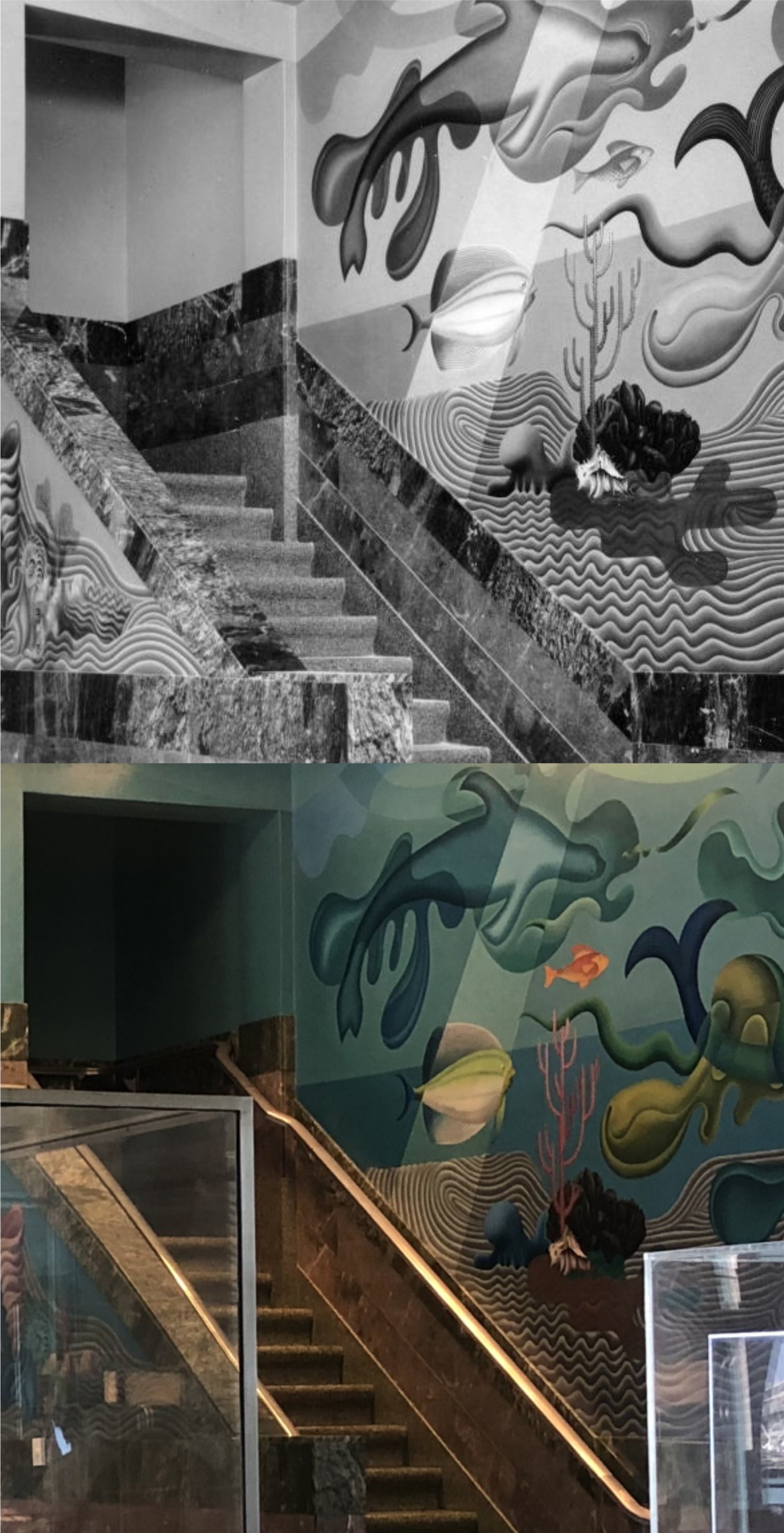
I haven’t been up to the second floor of the Ferry Building yet in this millennium, and it doesn’t look anything like it did in 1999 when I was up there last. I was hoping that I could visit the second level yesterday to take a few comparison pictures, and I was happy to see that the doors above the main stairway of the Ferry Building were open for an art display. I headed up the stairs that millions and millions of people walked up and down once, to take a few pictures and to marvel at the beauty of the second level. The vintage picture is of a group of people waiting to board a ferryboat in 1940 that would take them out to the Treasure Island International Exposition. Passengers boarded to ferryboats from both the first and second level of the Ferry Building. The floor has been removed between the first and second levels of the building at several locations. (UC Berkeley Library Archives)
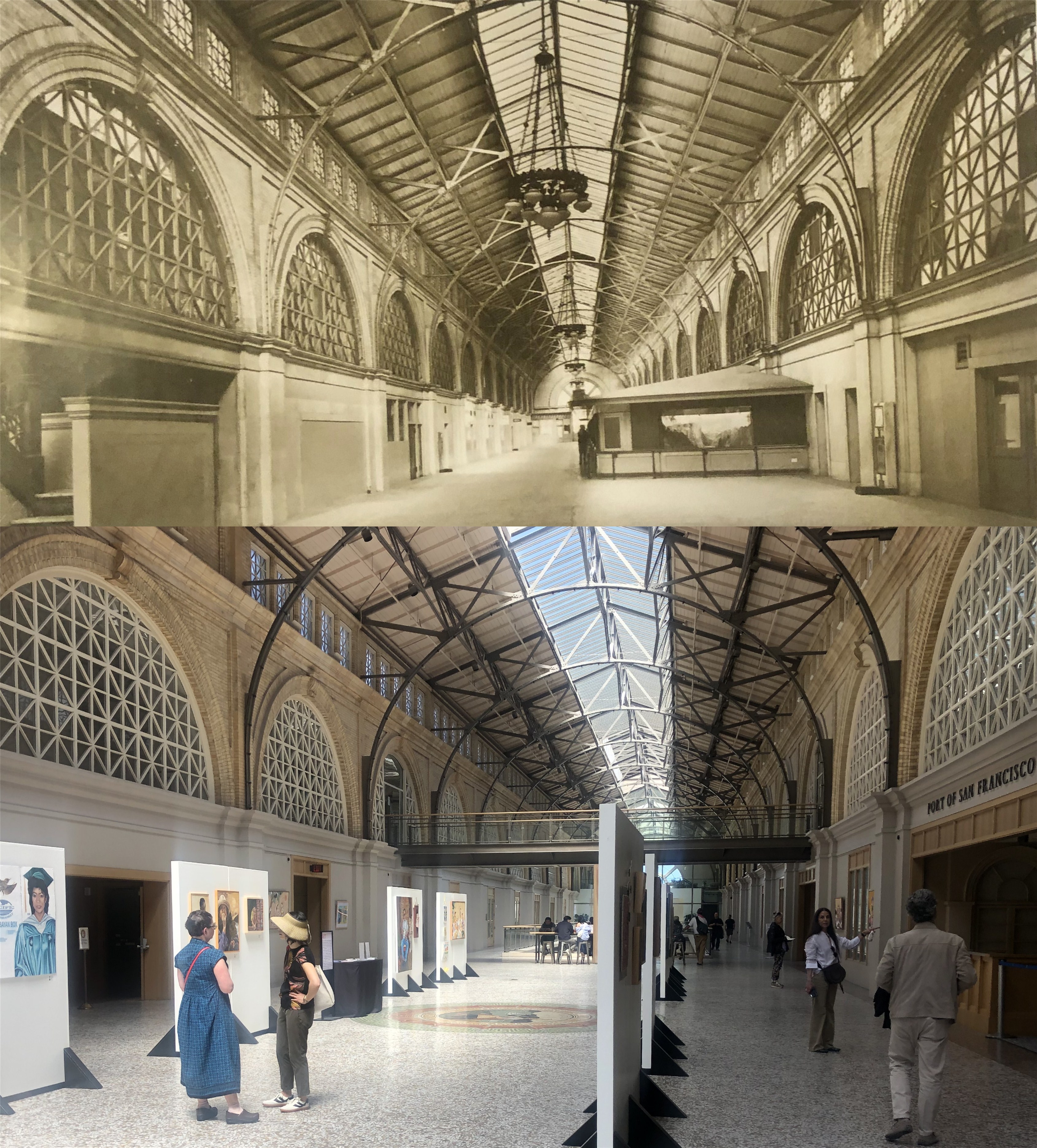
Looking north along the Grand Nave of the Ferry Building in an undated photo from the San Francisco Public Library in Nancy Olmsted’s book, ‘The Ferry Building’.
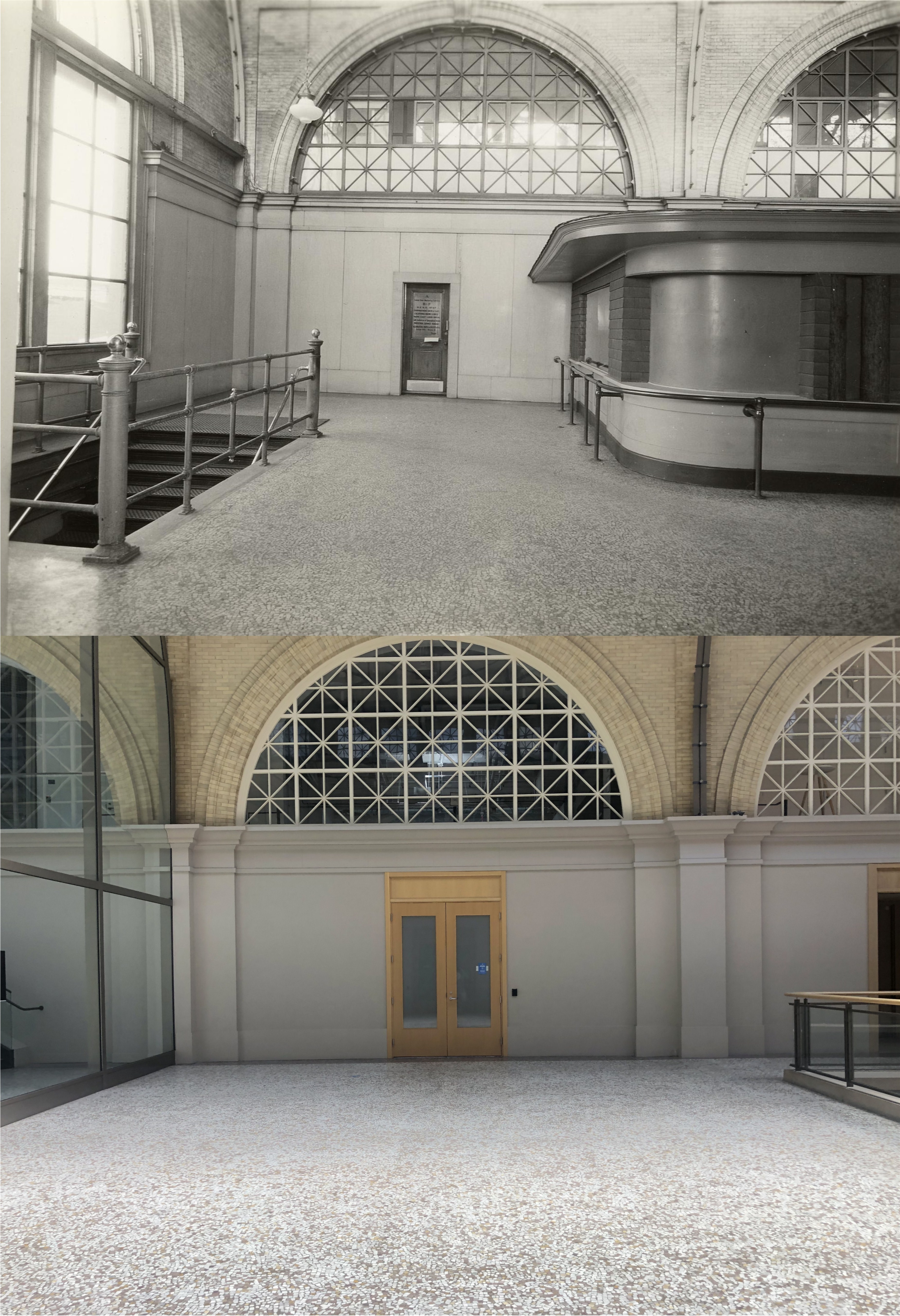
The north end of the Grand Nave in 1938, as close as I could get: (San Francisco Library Digital Archives)
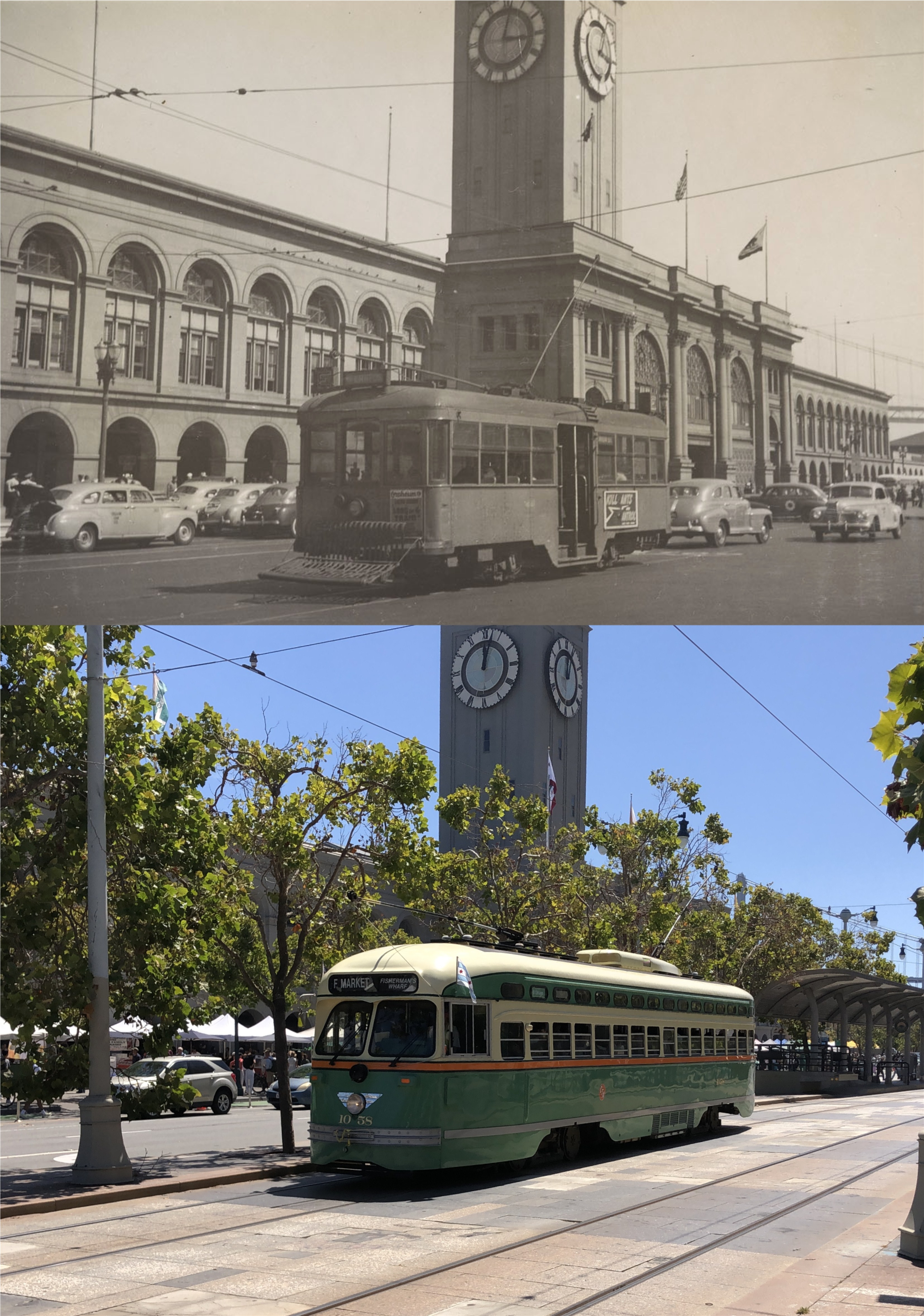
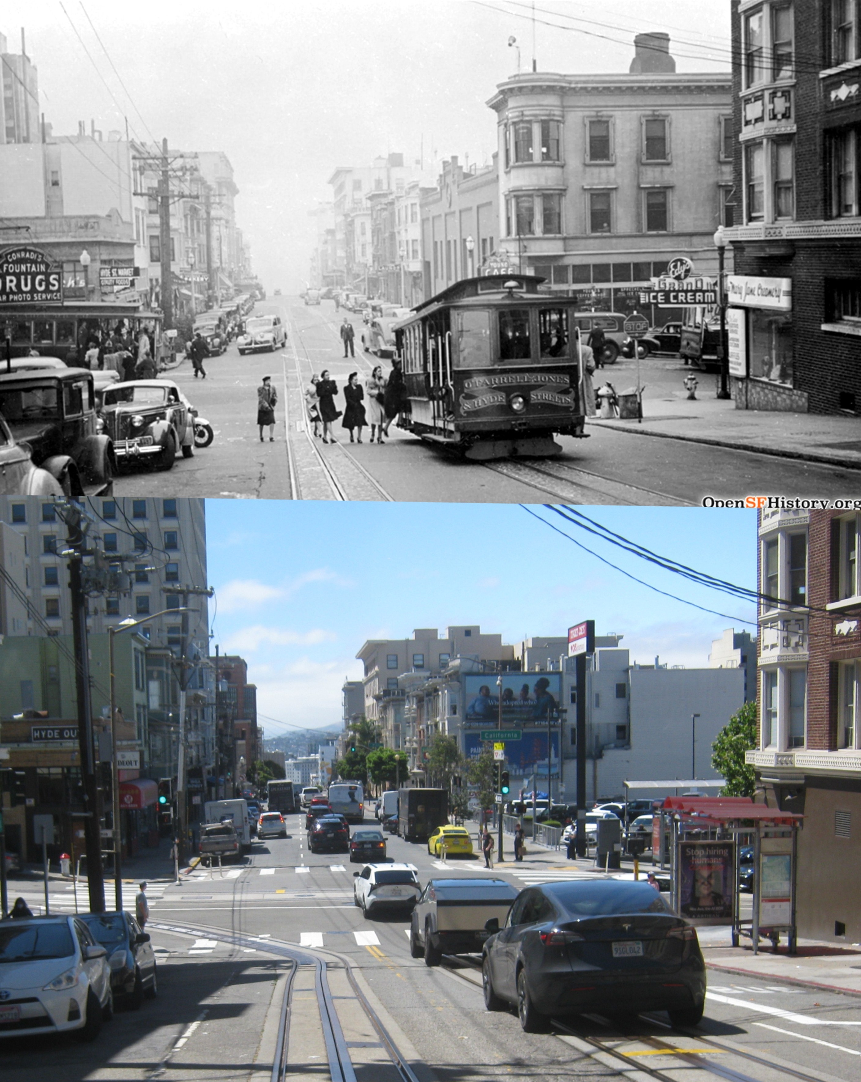
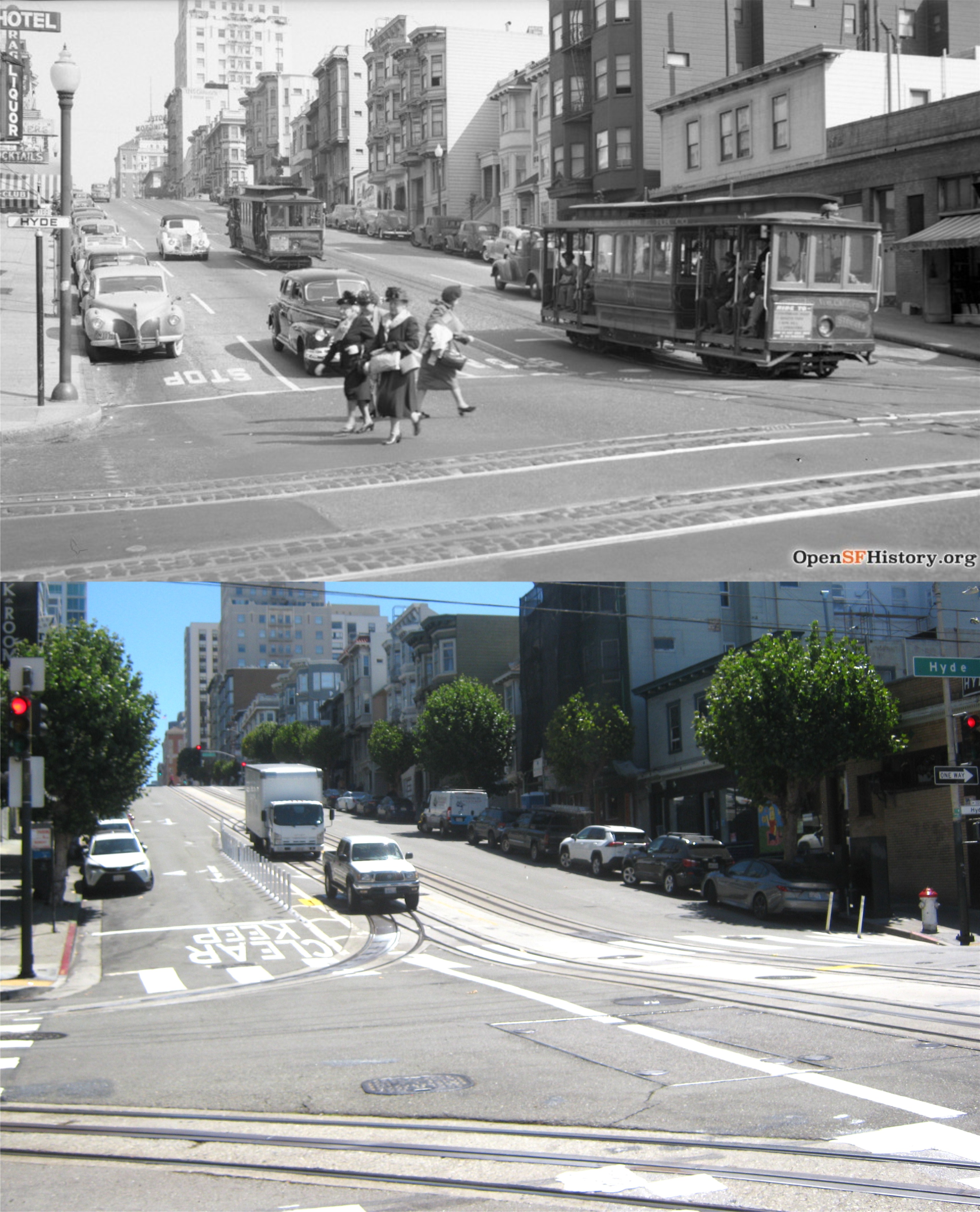
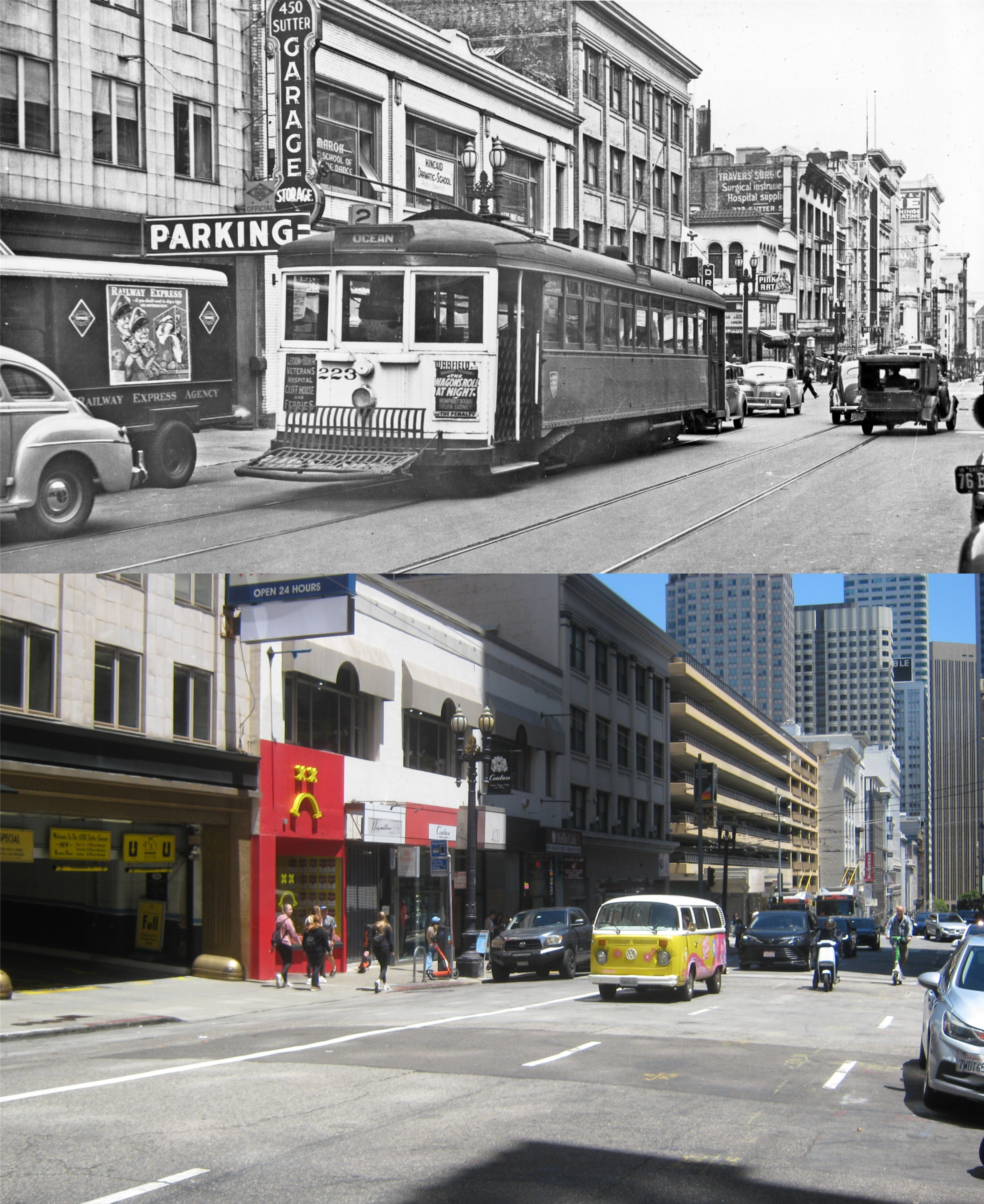
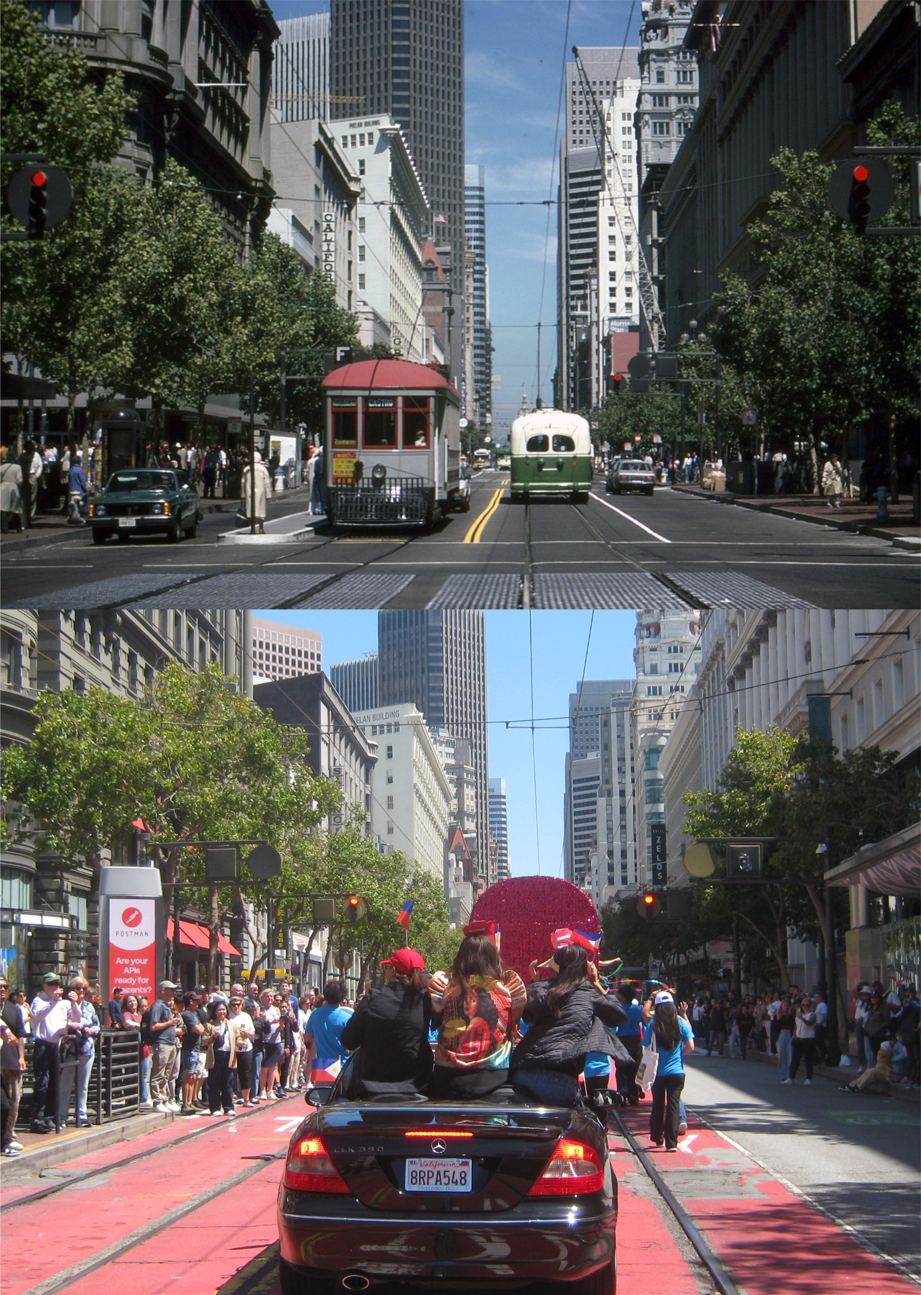
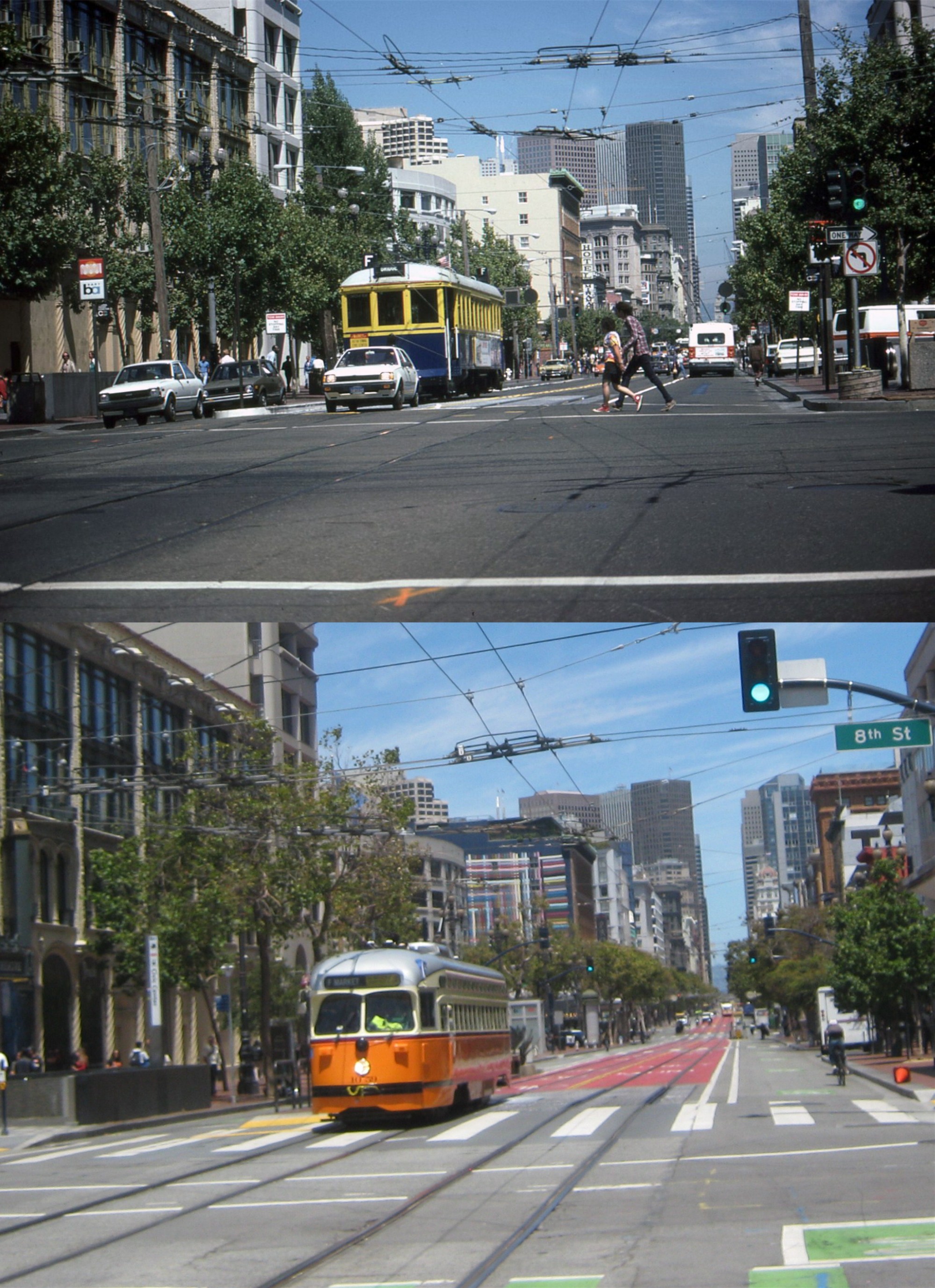
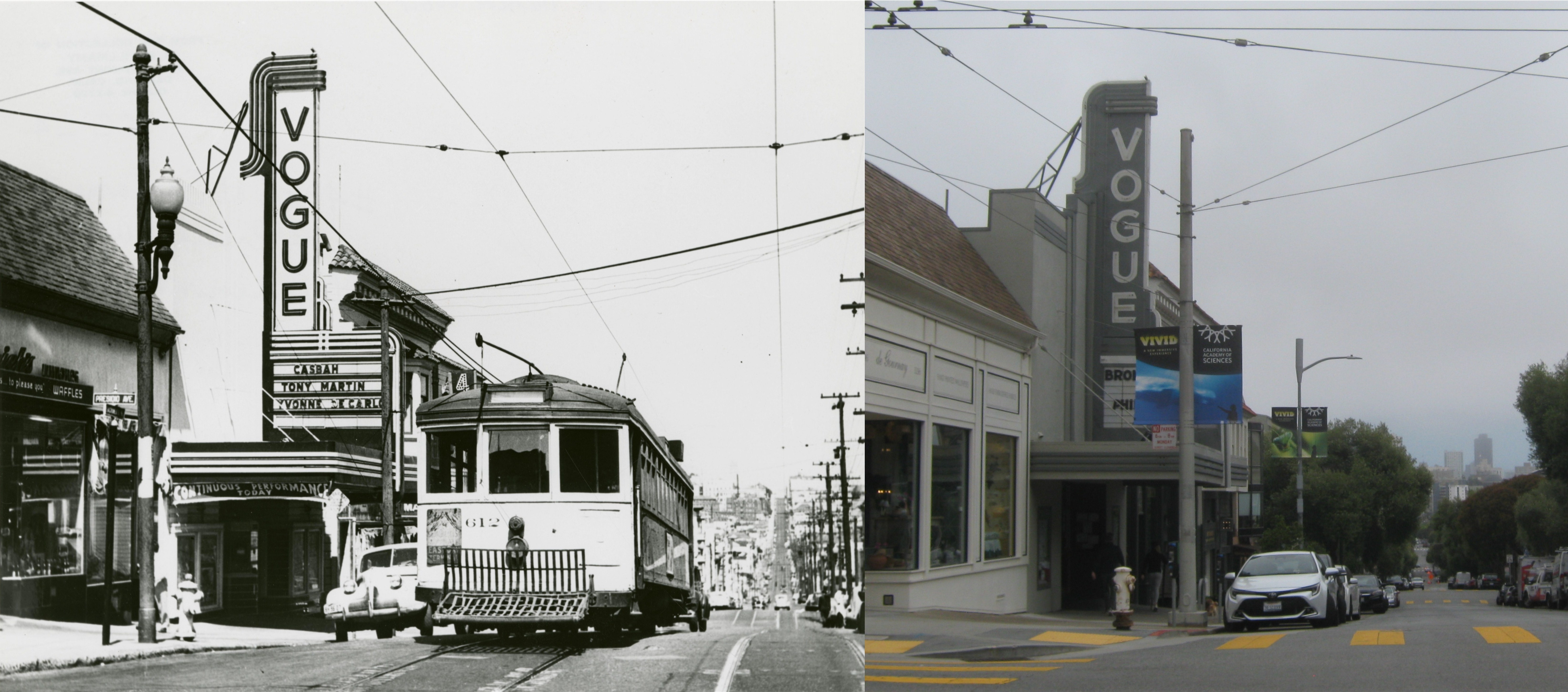
I’ll close with the mandatory streetcar match up that I like to do from an undated 1940s picture. (UC Berkeley Library Archives)