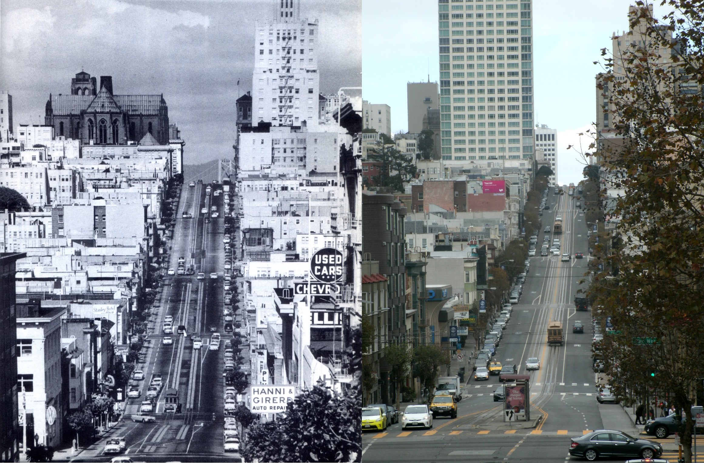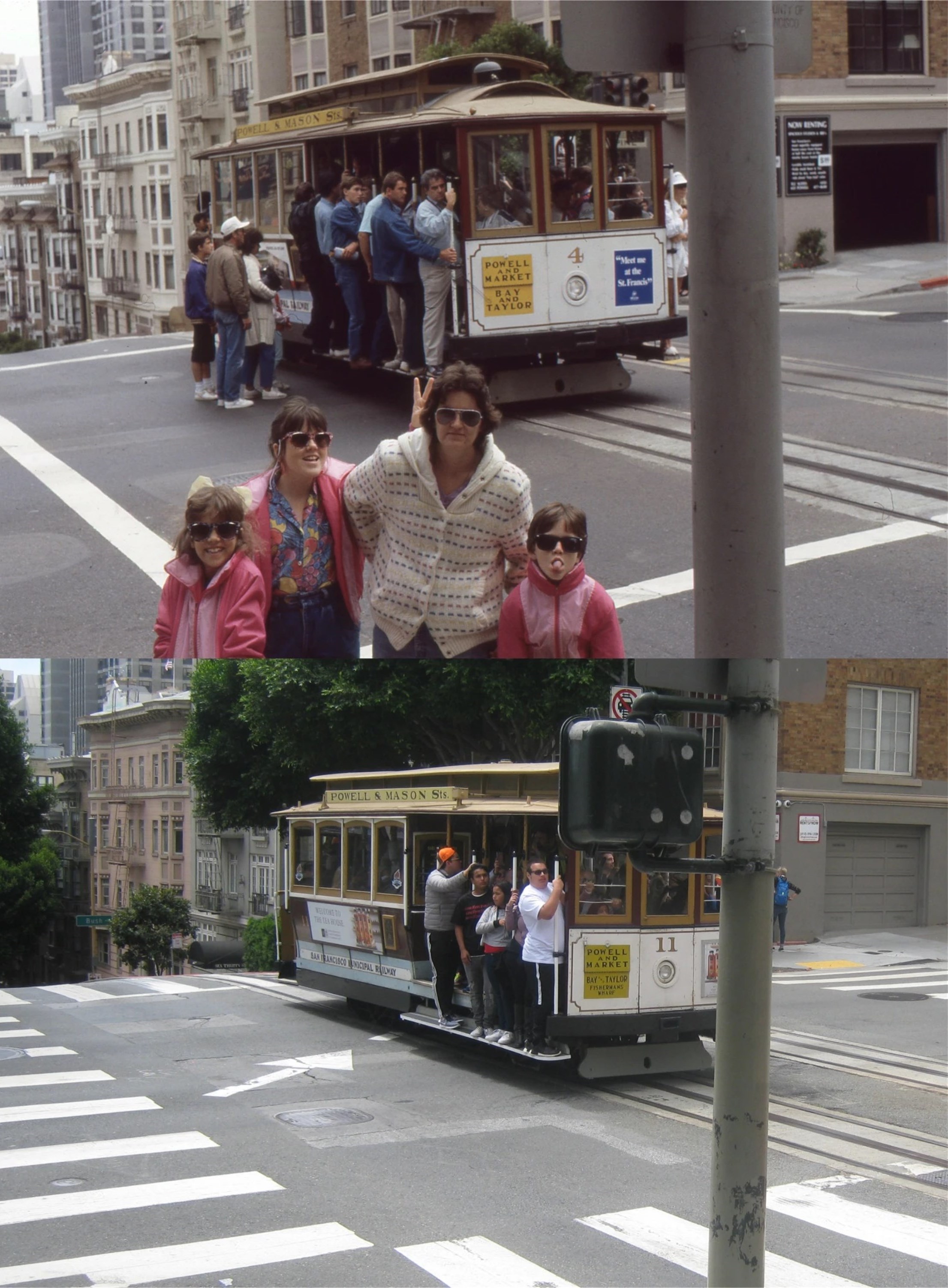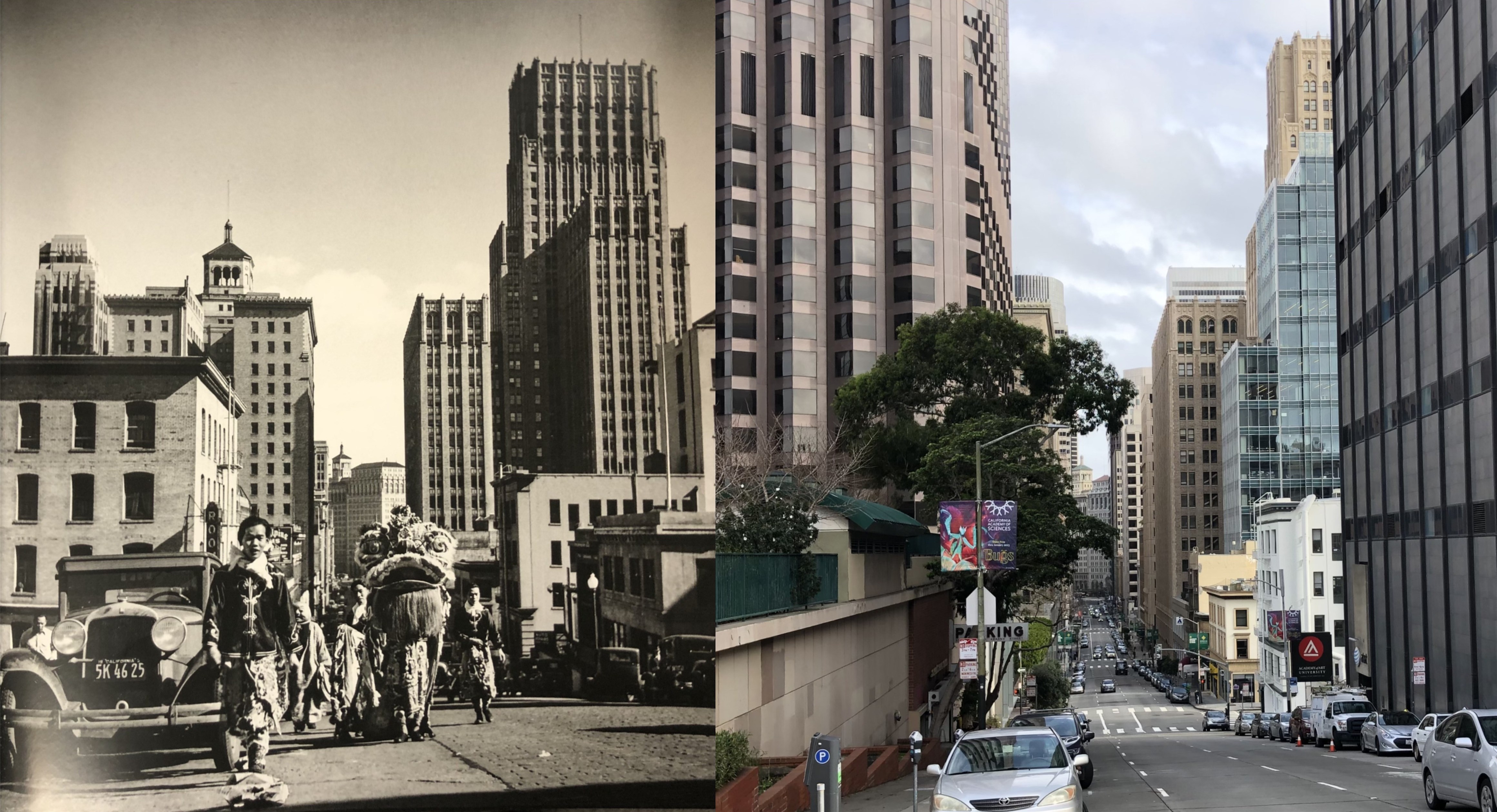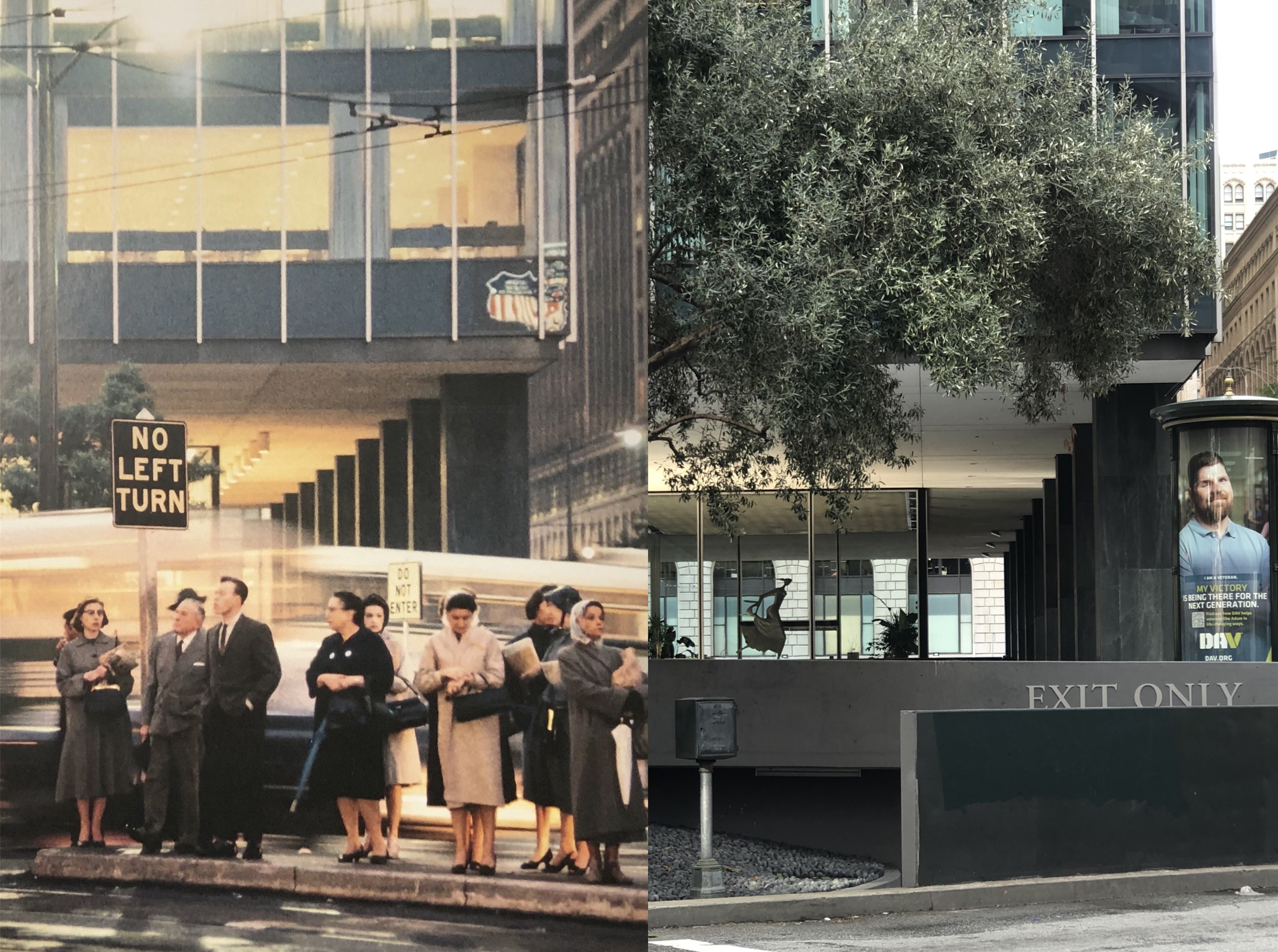
And why not? As one of the five cable car terminuses and three blocks away from Fisherman’s Wharf, it’s a great spot to include in your San Francisco adventure. There was also a few relatively unknown movie scenes filmed here. (Thumbnail images)
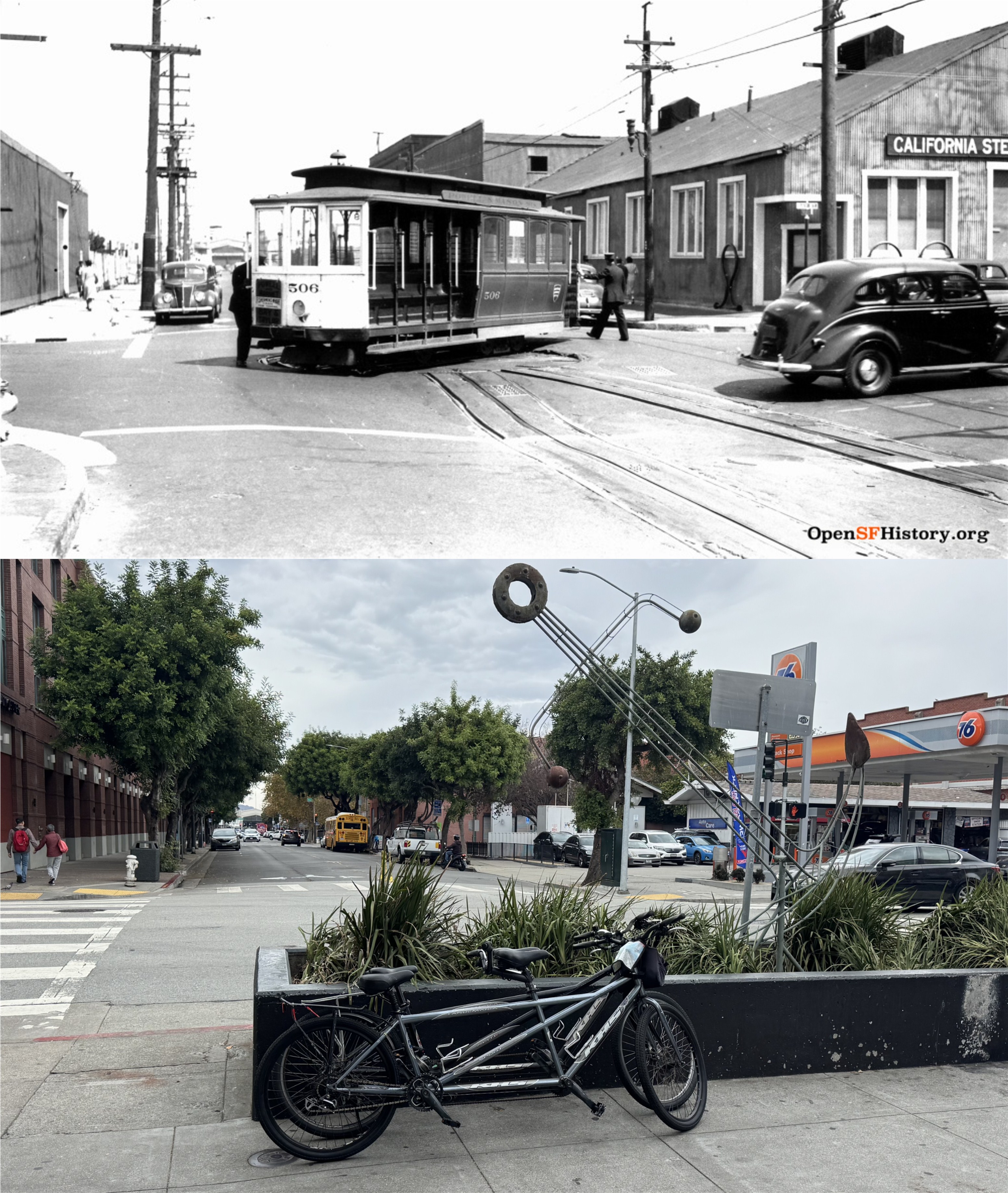
Looking north along Taylor Street past the intersection, circa 1940: The cable car turnaround was right in the middle of the intersection then. Sharp eyes will spot Pier 45 in the far background of both photos. (opensfhistory.org)
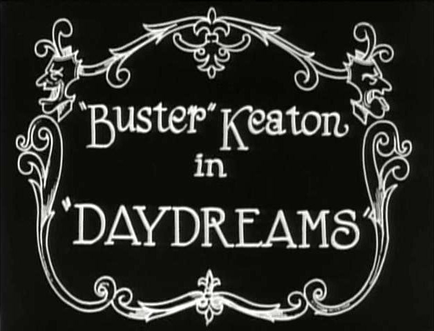
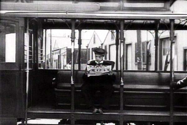
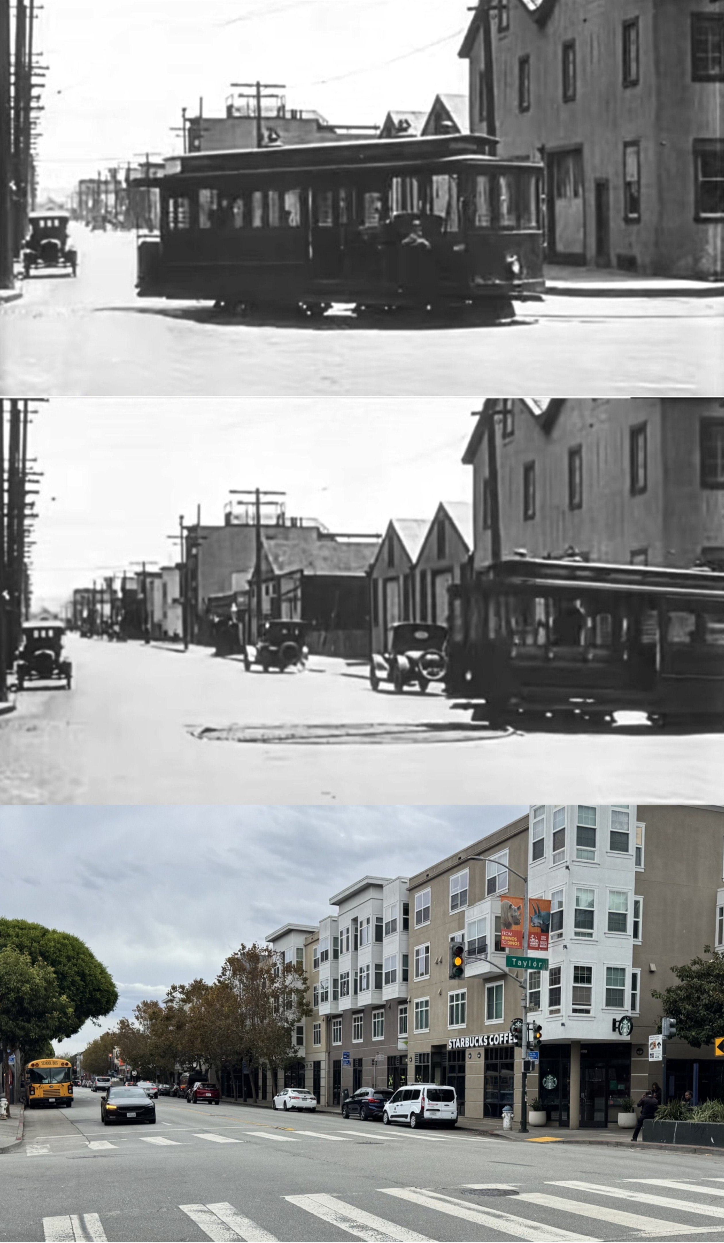
I first learned about the cable car turnaround being right of the middle of the intersection when watching Buster Keaton’s 1922 film ‘Day Dreams’, or ‘Daydreams’. While being chased by the police from Minna Street to North Beach, Keaton jumps on a cable car on Columbus Avenue, and thinks he’s lost the police. While he’s relaxing he doesn’t notice that the turnaround at Bay and Taylor is turning around and sending him right back to where to police are. The view from the movie scene is looking east along Bay. A school bus has replaced the old Tin Lizzie on the left.
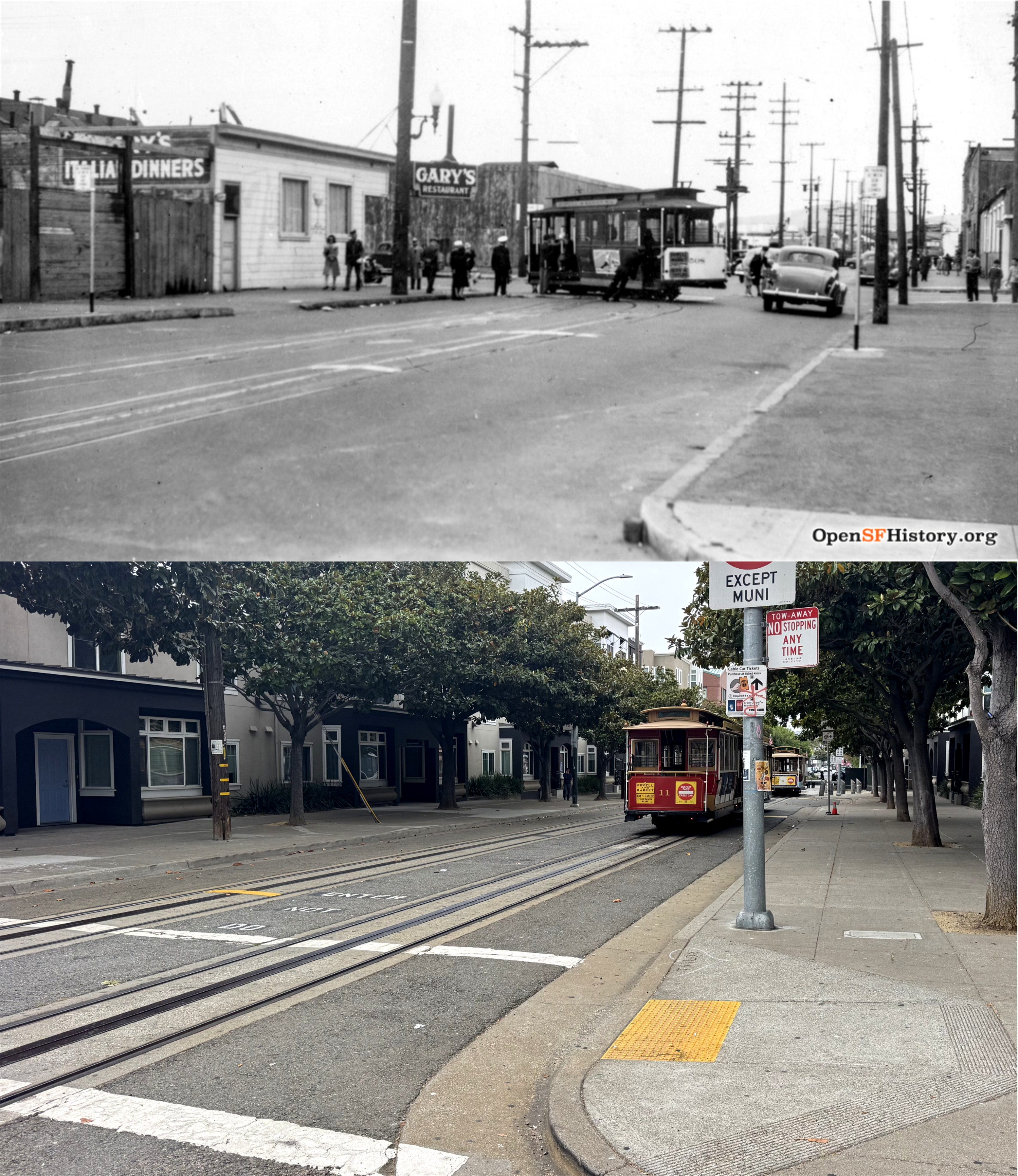
In 1941 the turnaround was moved from the middle of the intersection. Its current location is about twenty five feet south on Taylor. The vintage picture is looking north from Francisco Street. (opensfhistory.org)
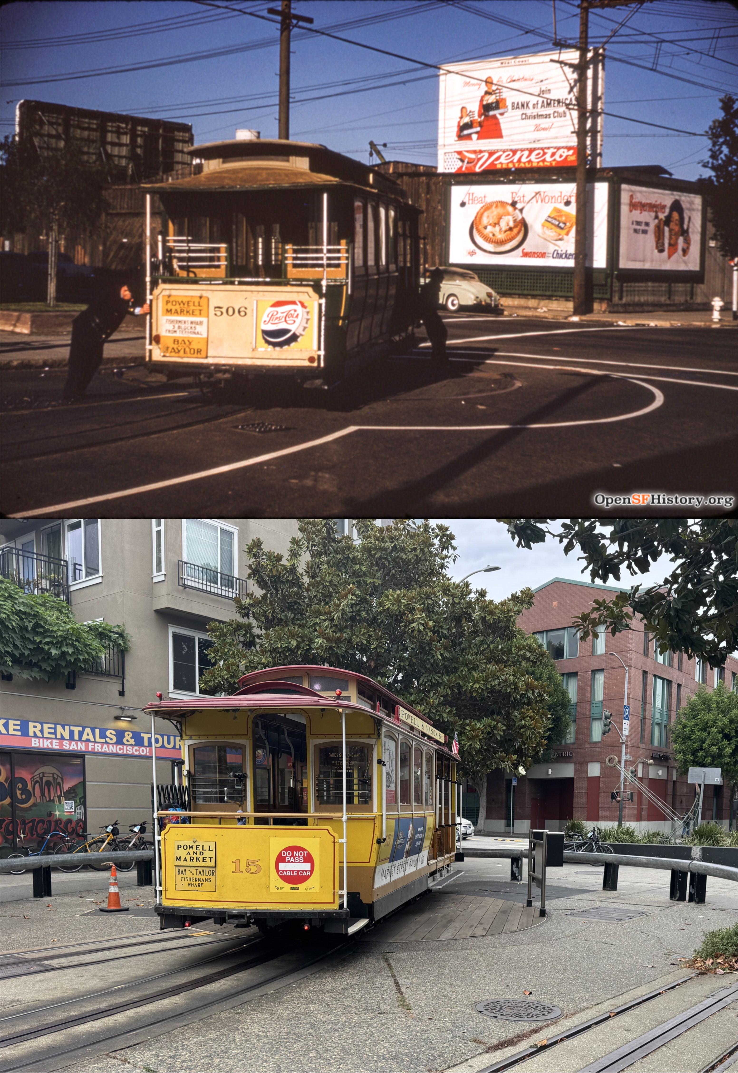
Grip men turning a car around in 1953: The view is looking toward the northwest corner of the intersection. (opensfhistory.org)
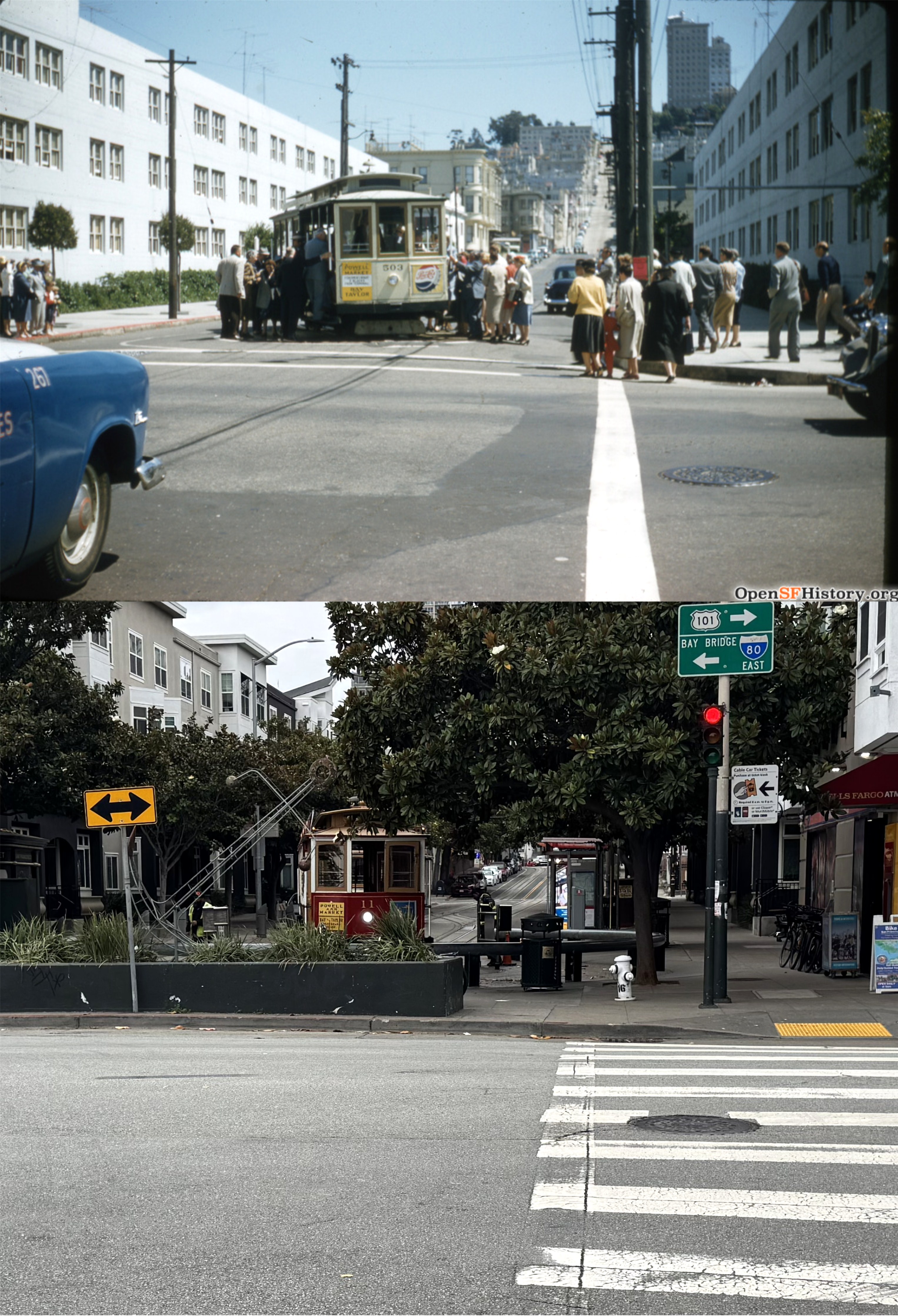
Looking south in 1955 from the northwest corner in the previous picture; I was happy with the way this one turned out because I wasn’t sure that I was going to be able to get a good line up. (opensfhistory.org)
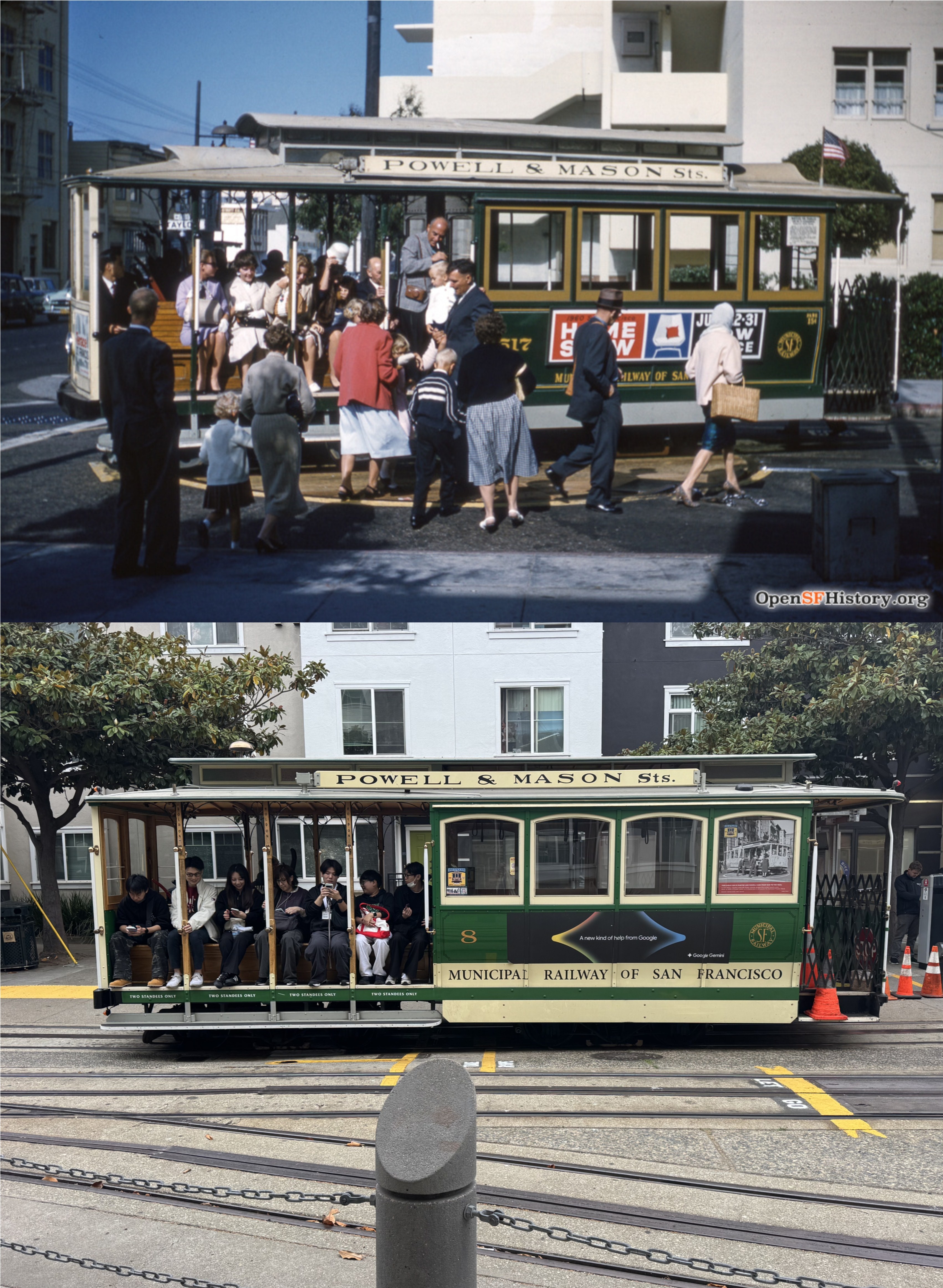
This might have been a good match up with the circa 1960 photo, except that I’m looking west from the east side of Taylor Street, and the photographer in the vintage picture was looking east from the west side. Also, passengers are not allowed to board the cable cars while they’re on any of the three turntables anymore. (opensfhistory.org)
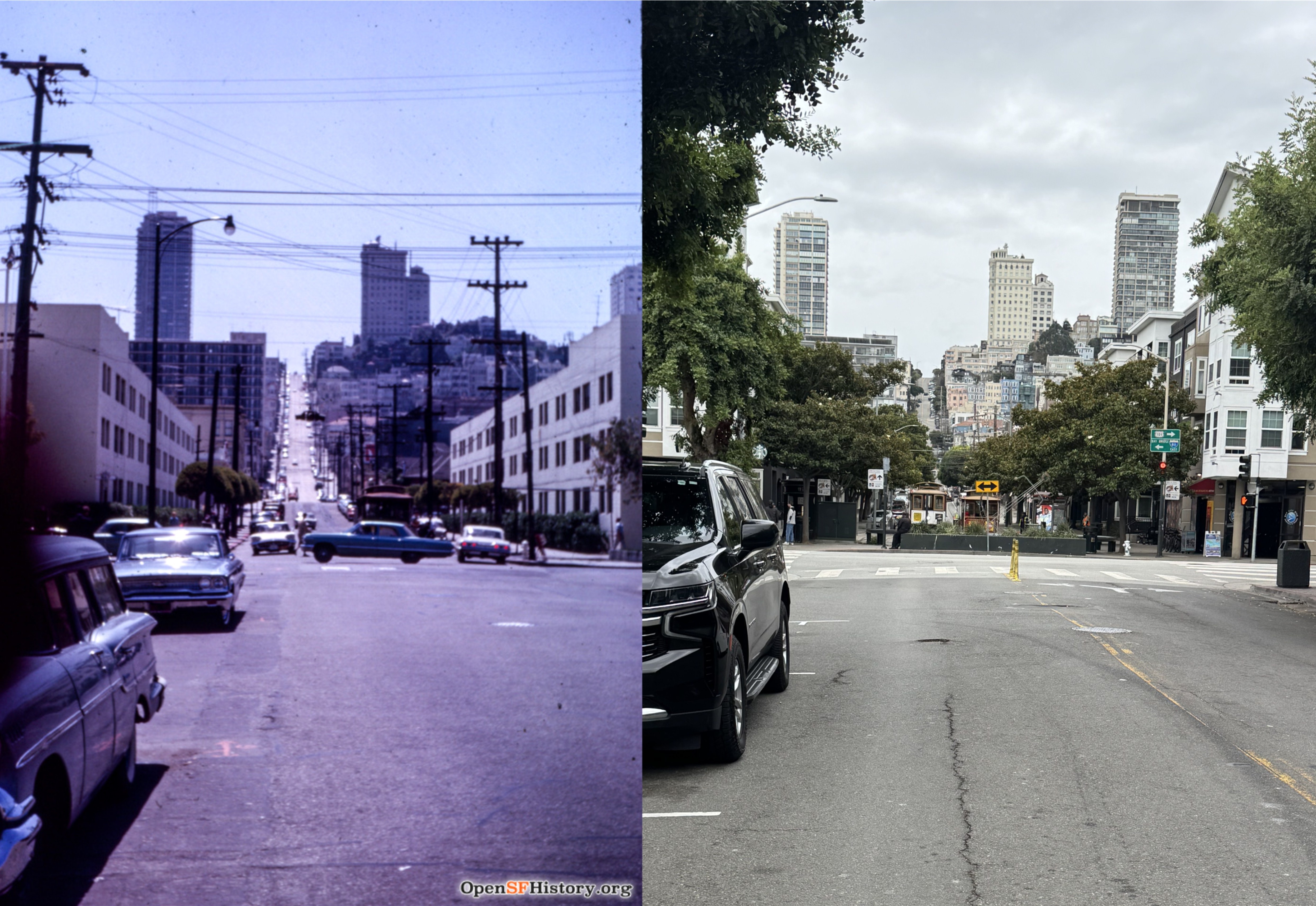
Looking south across the Bay and Taylor Streets intersection toward Nob Hill in 1963: (opensfhistory.org)
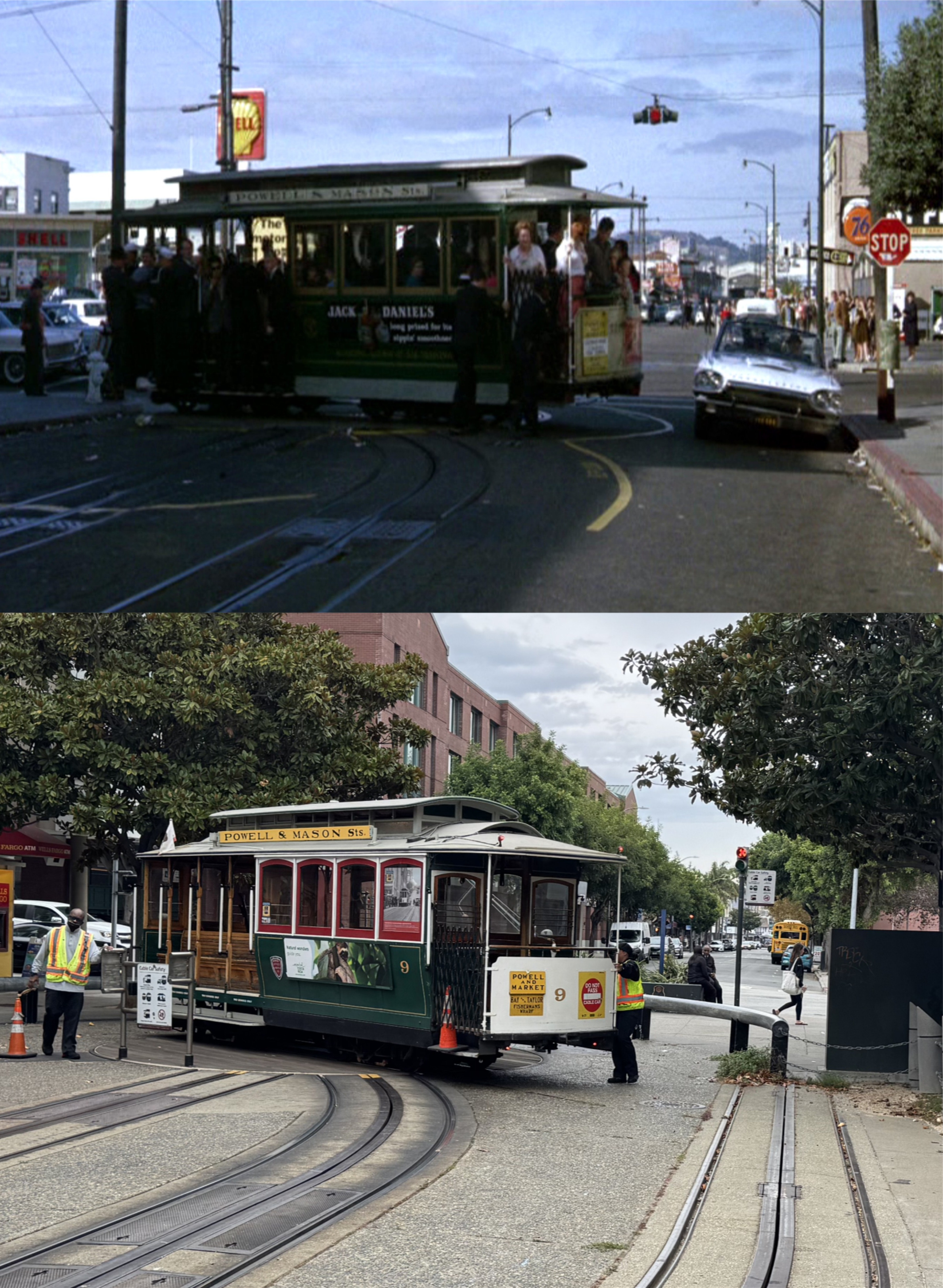
Jack Lemmon races his Thunderbird south past a turning cable car during the wild car ride scene from the 1964 comedy film ‘Good Neighbor Sam”. There are a number of reasons why this scene could not be filmed today, but mainly because of the metal queue line up rail that surrounds three sides of the turntable. The Shell Gas Station on the left is gone now, but the 76 Service Station on the right is still there. In fact, I was able to get air into a flat tire on my ebike from there long enough to get back to the BART Station in 2021.
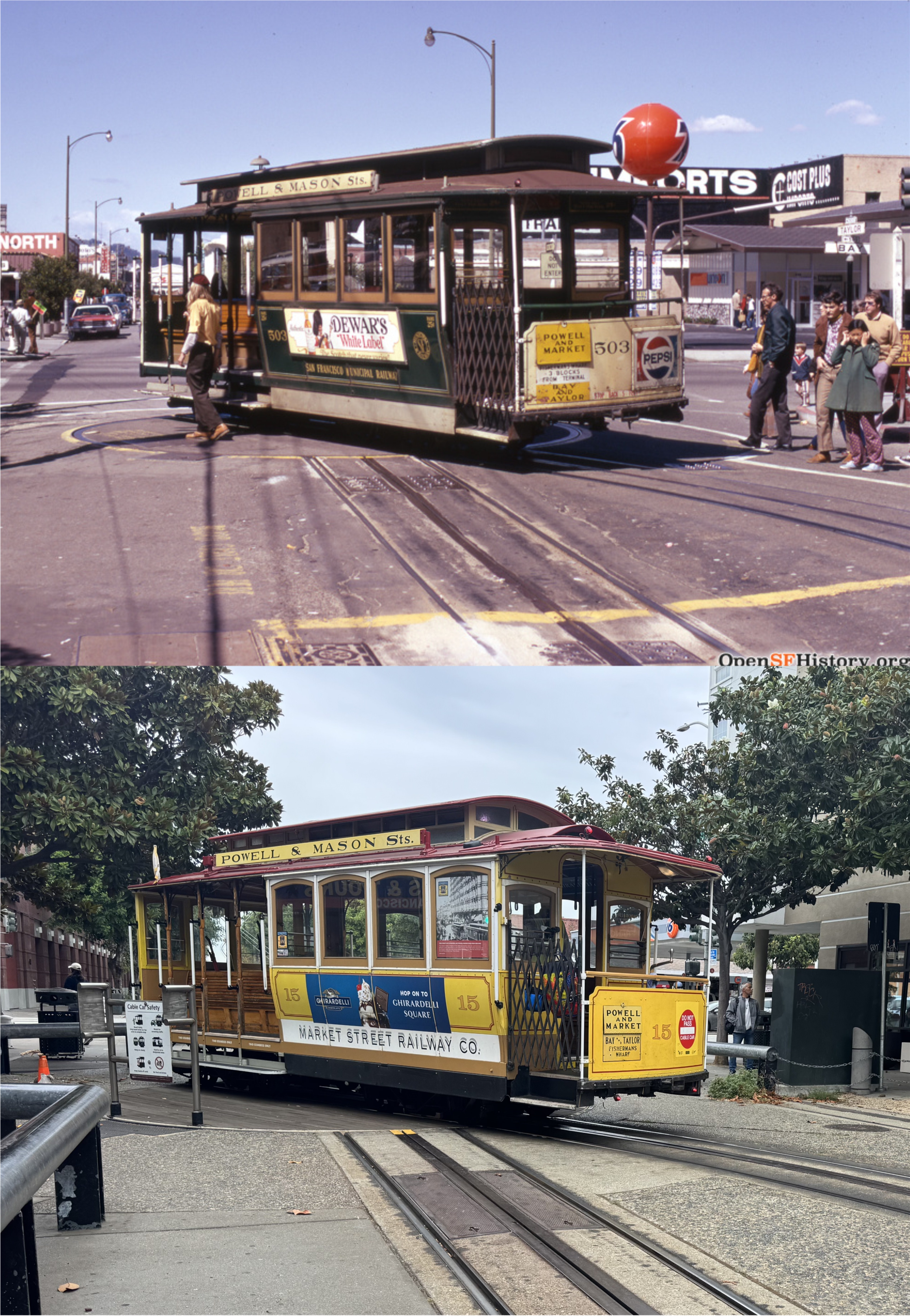
Looking toward the northeast corner of the intersection in 1973. The sign from the 76 Station mentioned in the last photo set is visible past the rear entrance of the cable cars in both pictures. That fellow with the long hair on the left is seen in different locations in a number of the opensfhistory.org pictures taken at this time, and I think he was a grip man! No, not grip lady. After taking my pictures yesterday, I took a lonely walk around the block missing Cost Plus Imports.