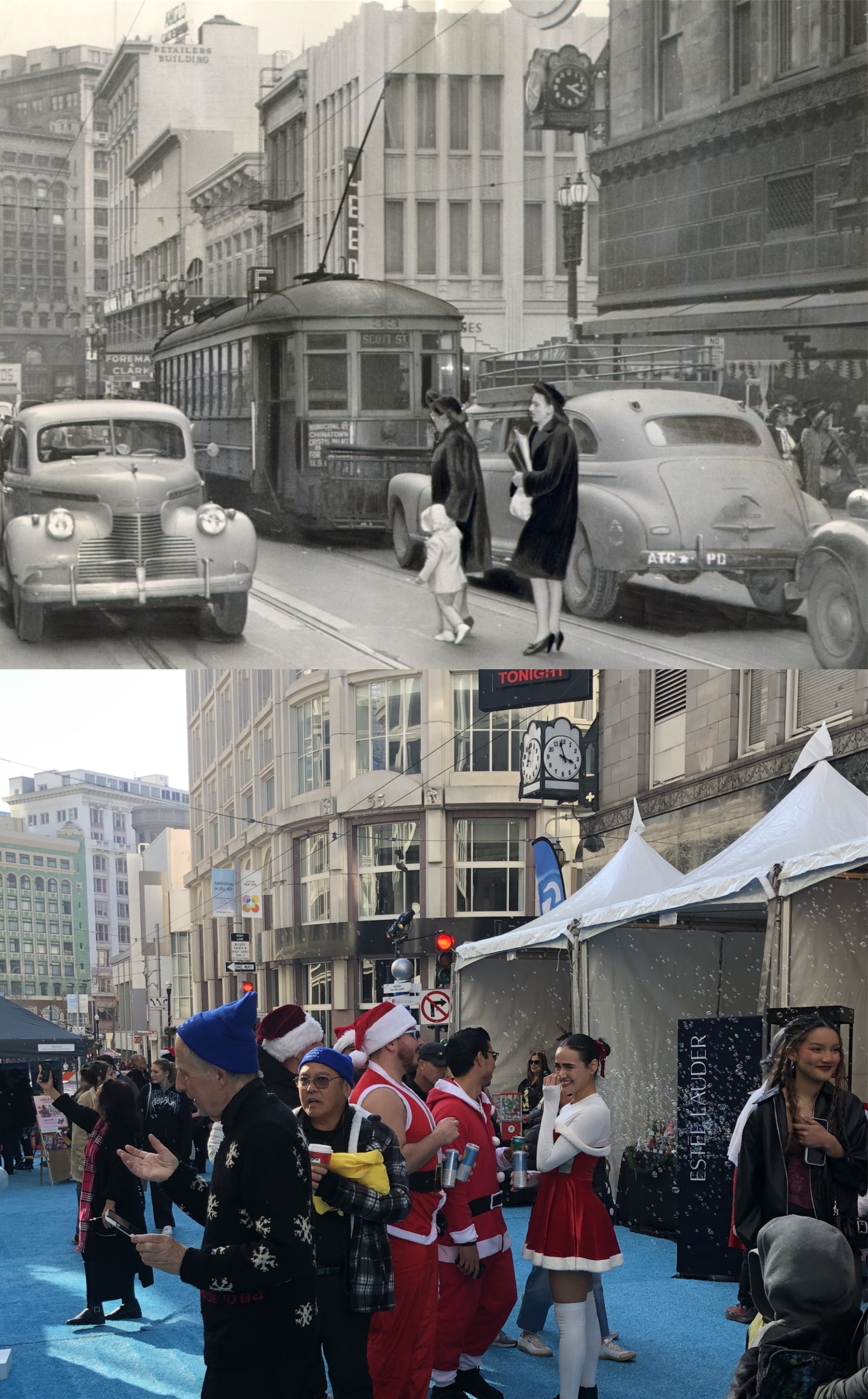
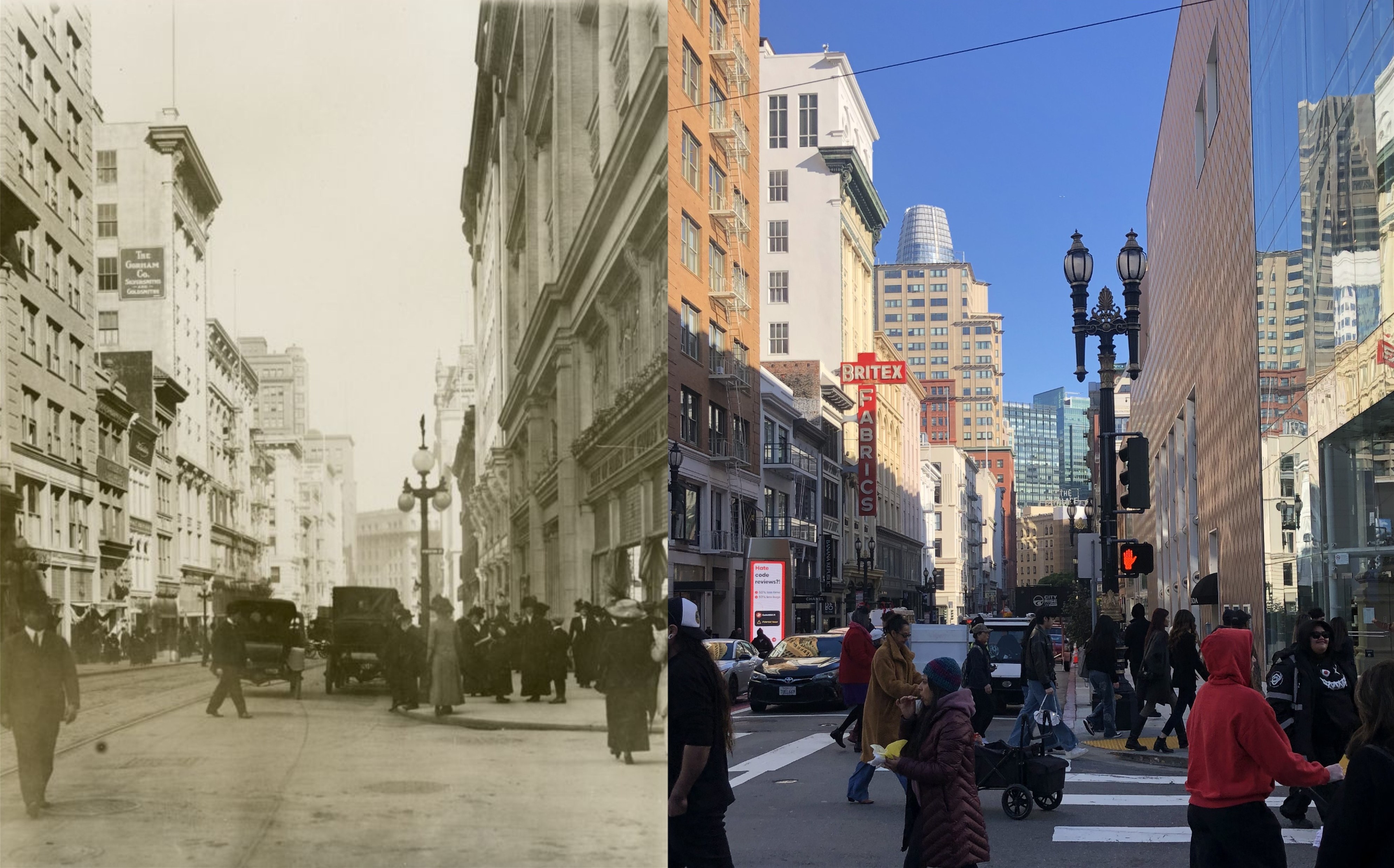
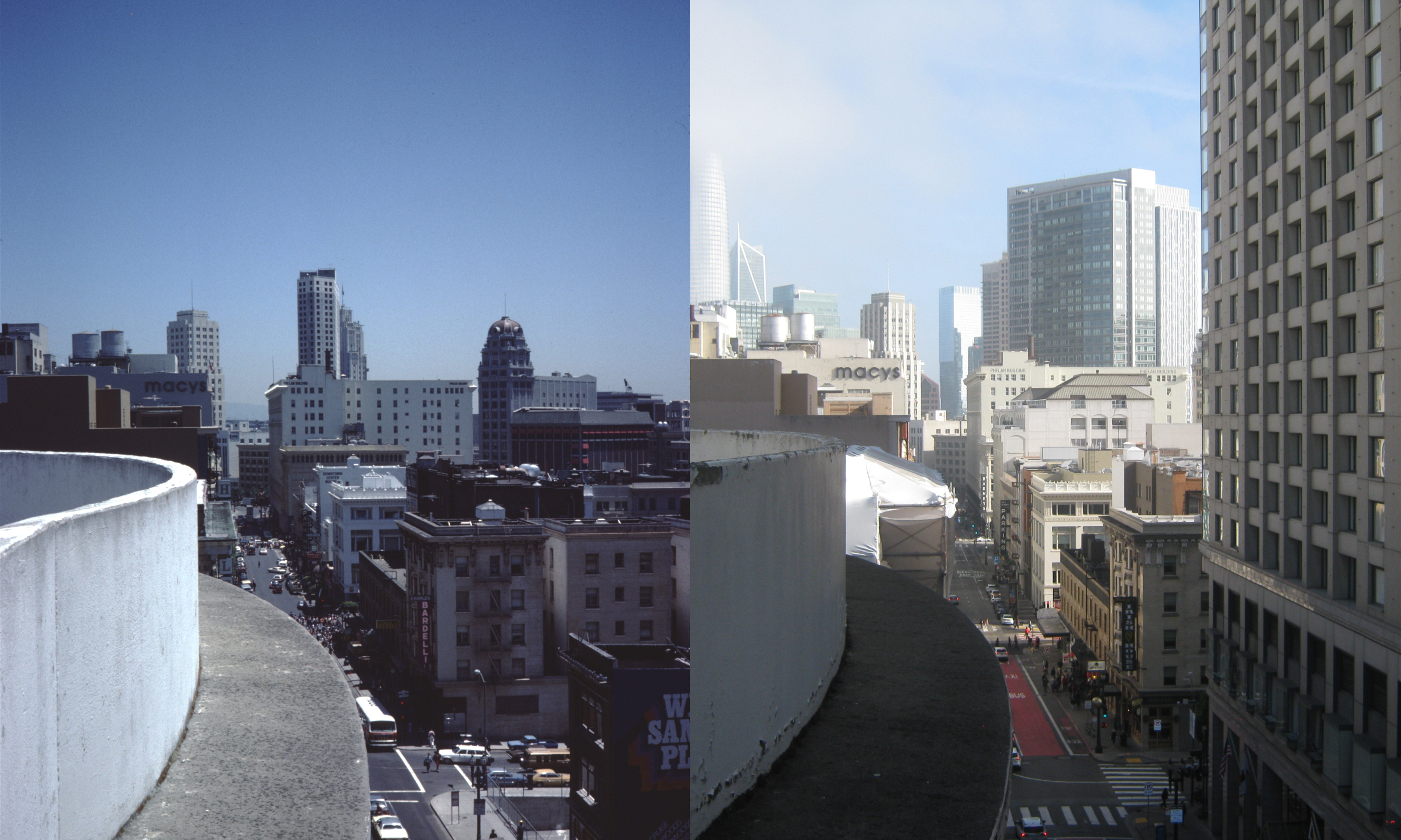
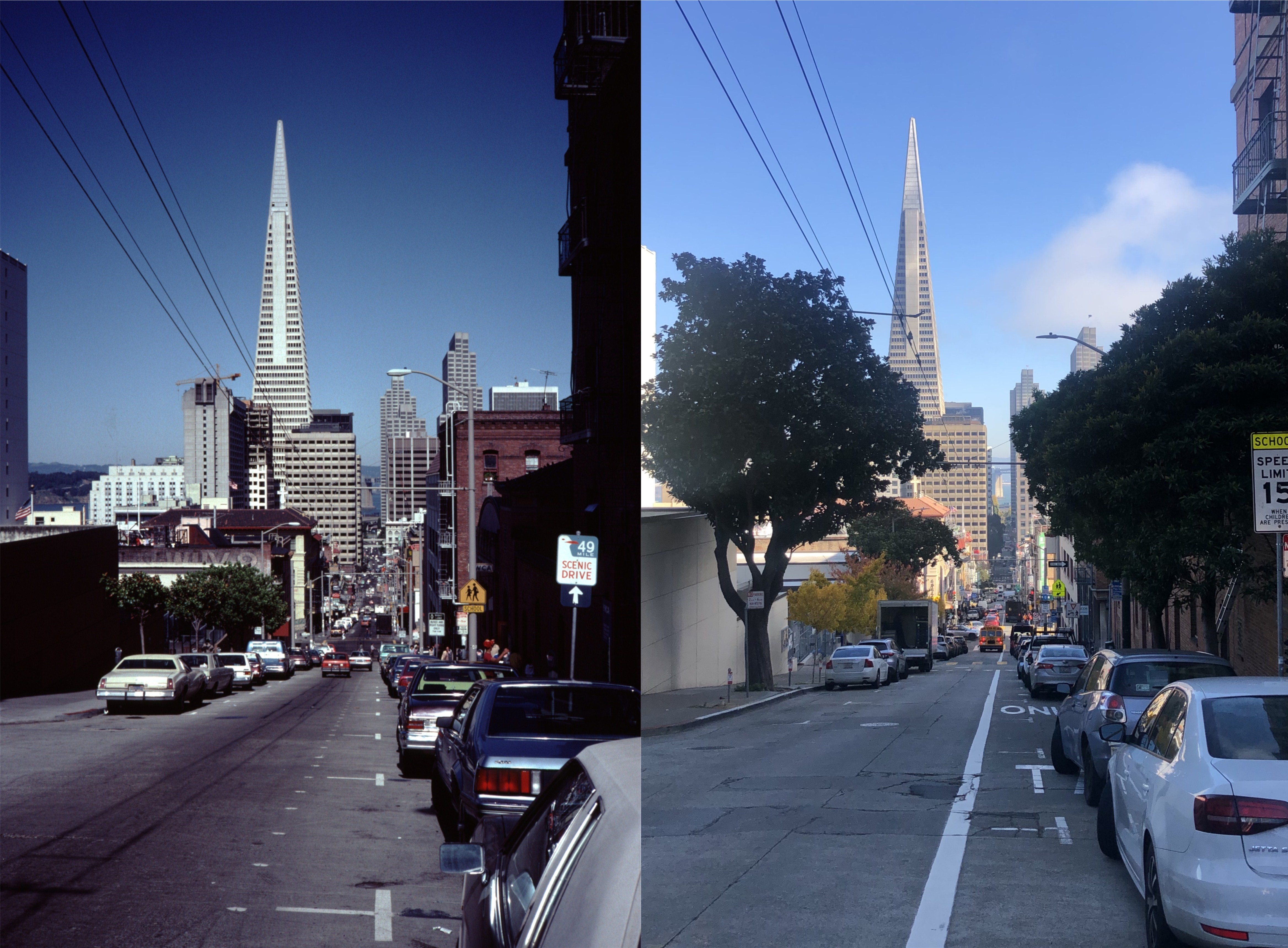
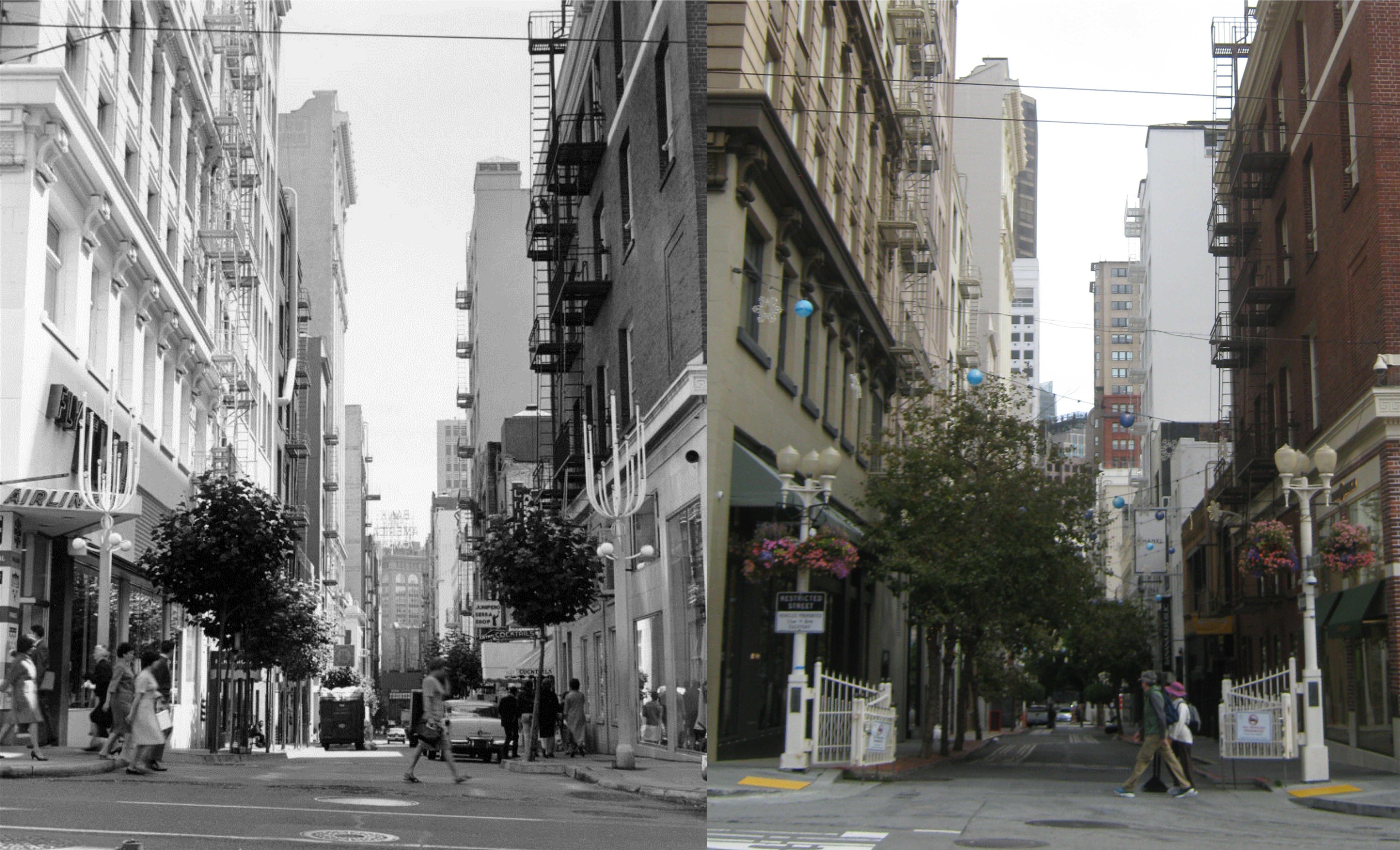
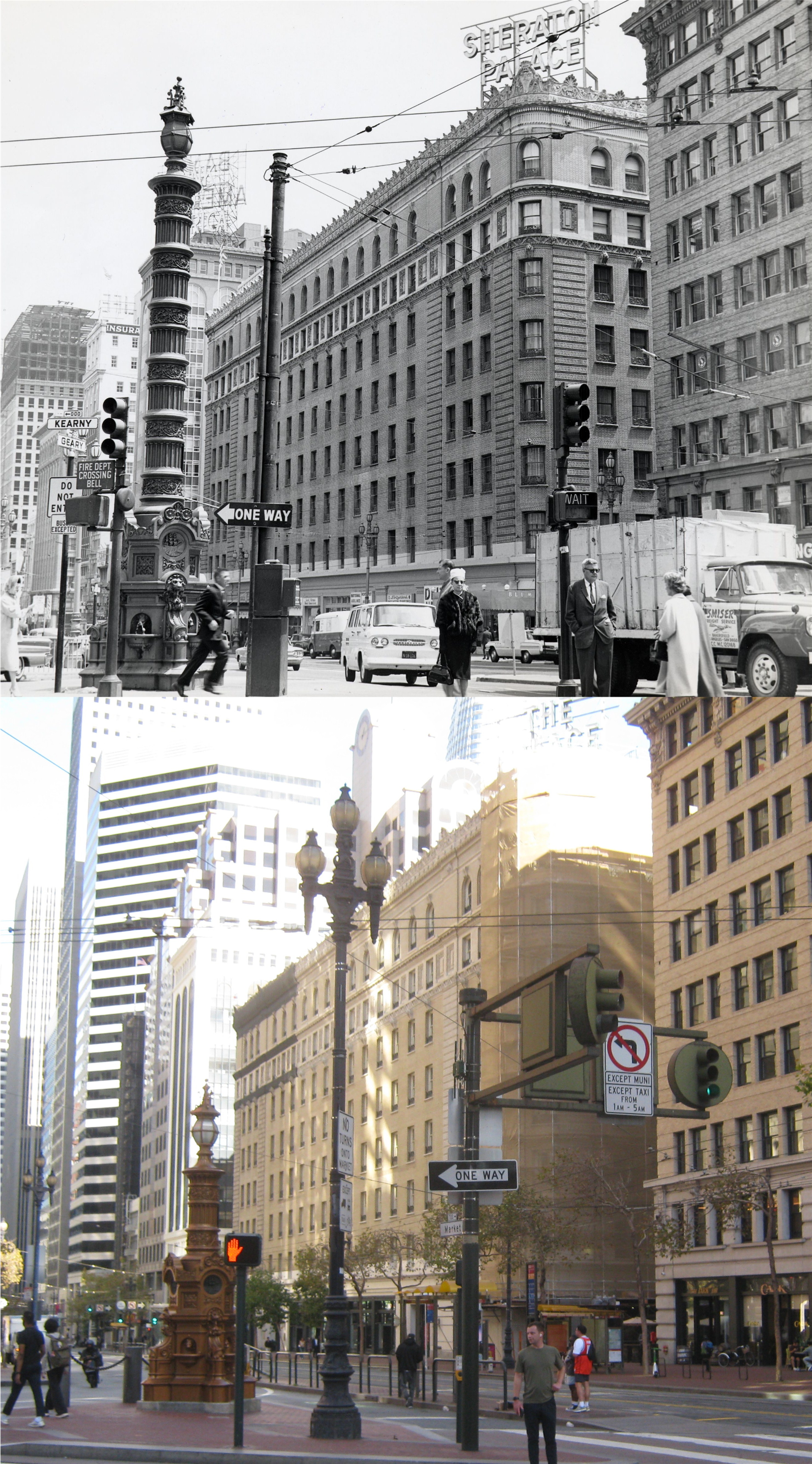
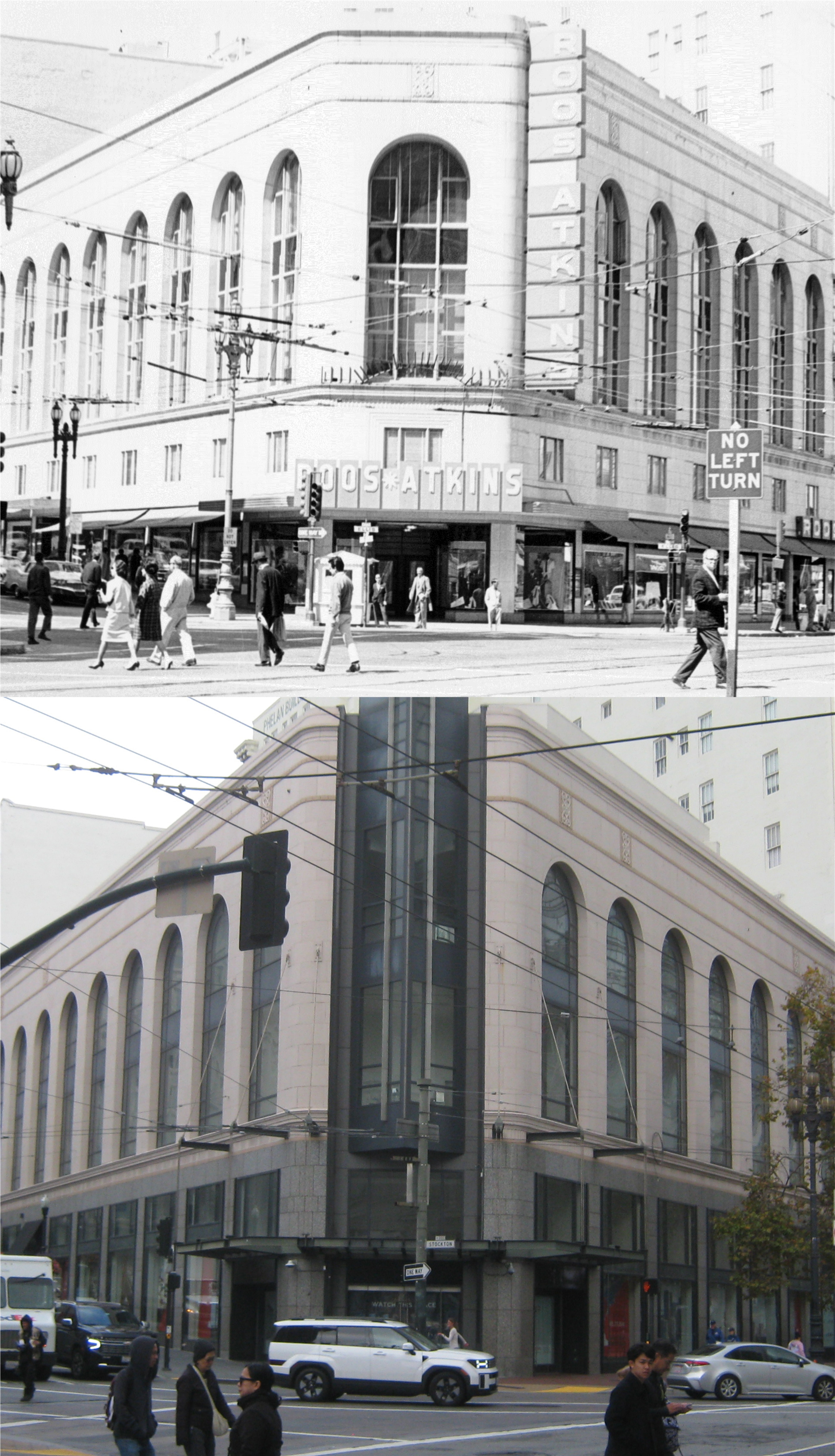
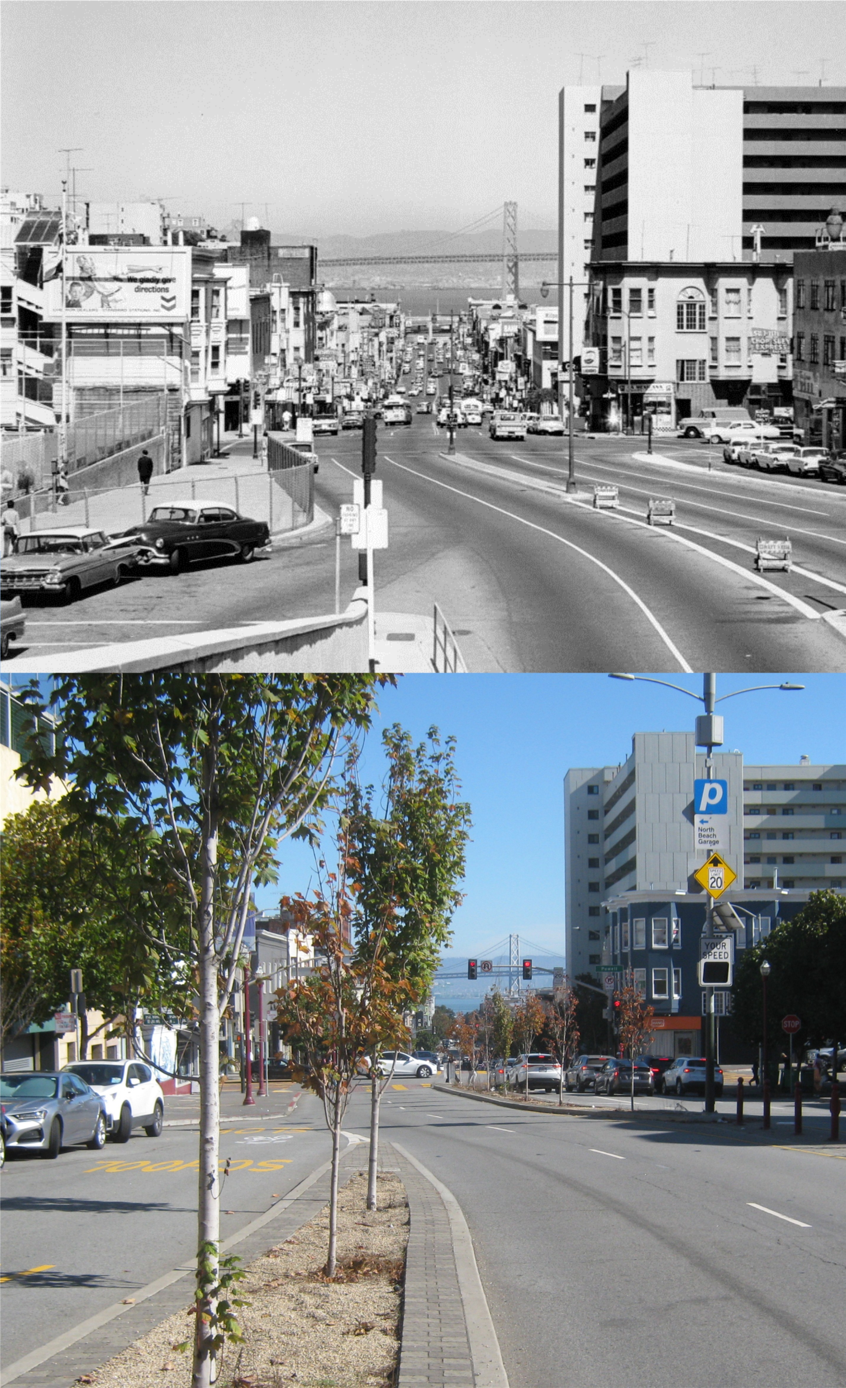
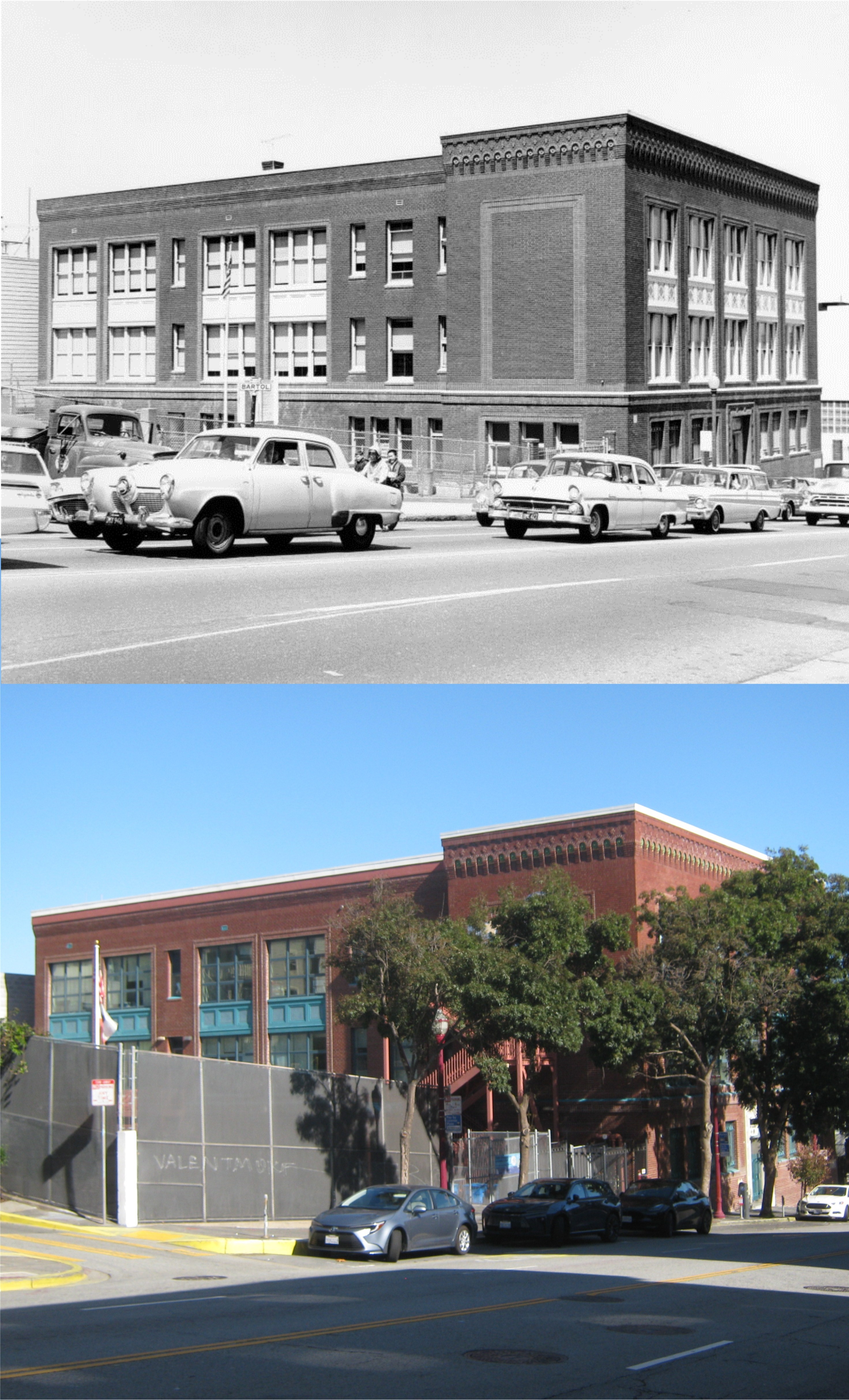
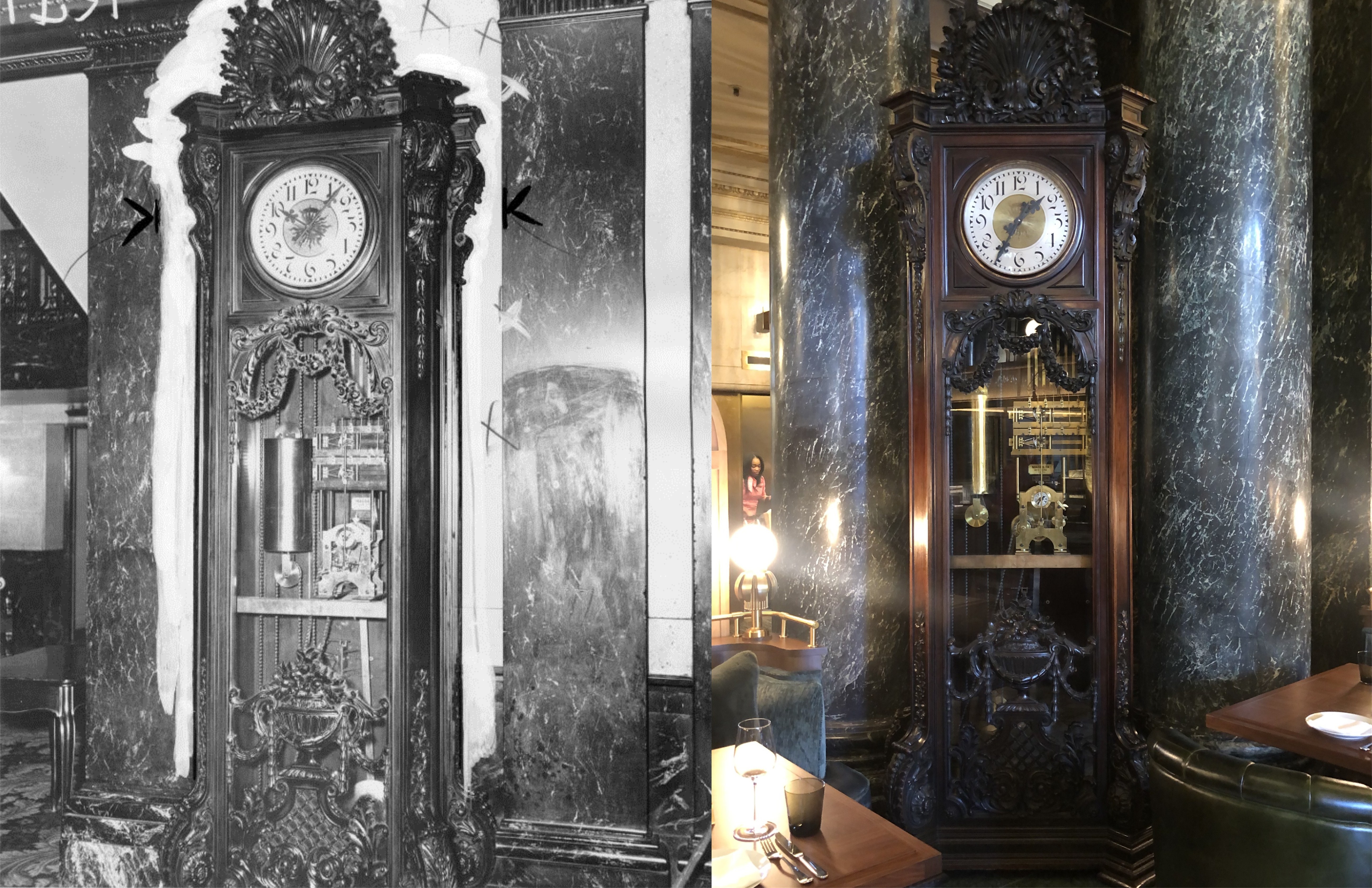
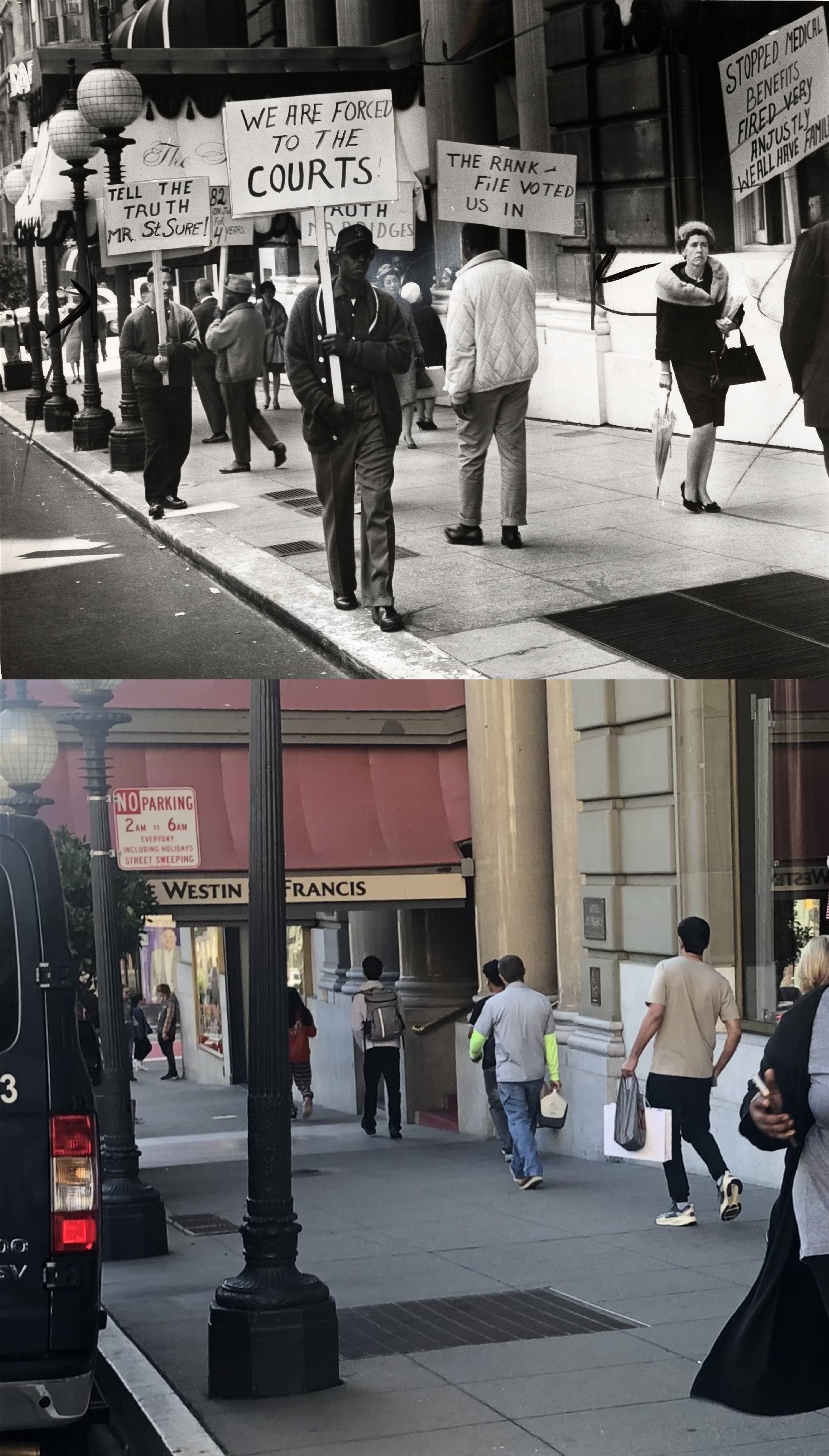
There are certain ways not to relax in San Francisco; one of them is walking up Nob Hill. I’ve done it often enough, but nowadays when I climb Nob Hill, it’s usually aboard the #1 MUNI bus heading up Sacramento Street. Walking down Nob Hill isn’t as tiresome as walking up, but if I’m real lazy, I take #1 MUNI heading back down Nob Hill along Clay Street. I made another visit to the hill of the nabobs over Christmas to update some vintage photographs from the UC Berkeley Library Archives, and to visit the Fairmont Hotel Lobby, always a pretty site during the Holidays. (Thumbnail images)

I took a picture of part of my old and beat up ‘City In Your Pocket’ San Francisco street map that I like because the streets are streets and not just lines, and I photo painted in red numbers where I took my pictures, just for fun.
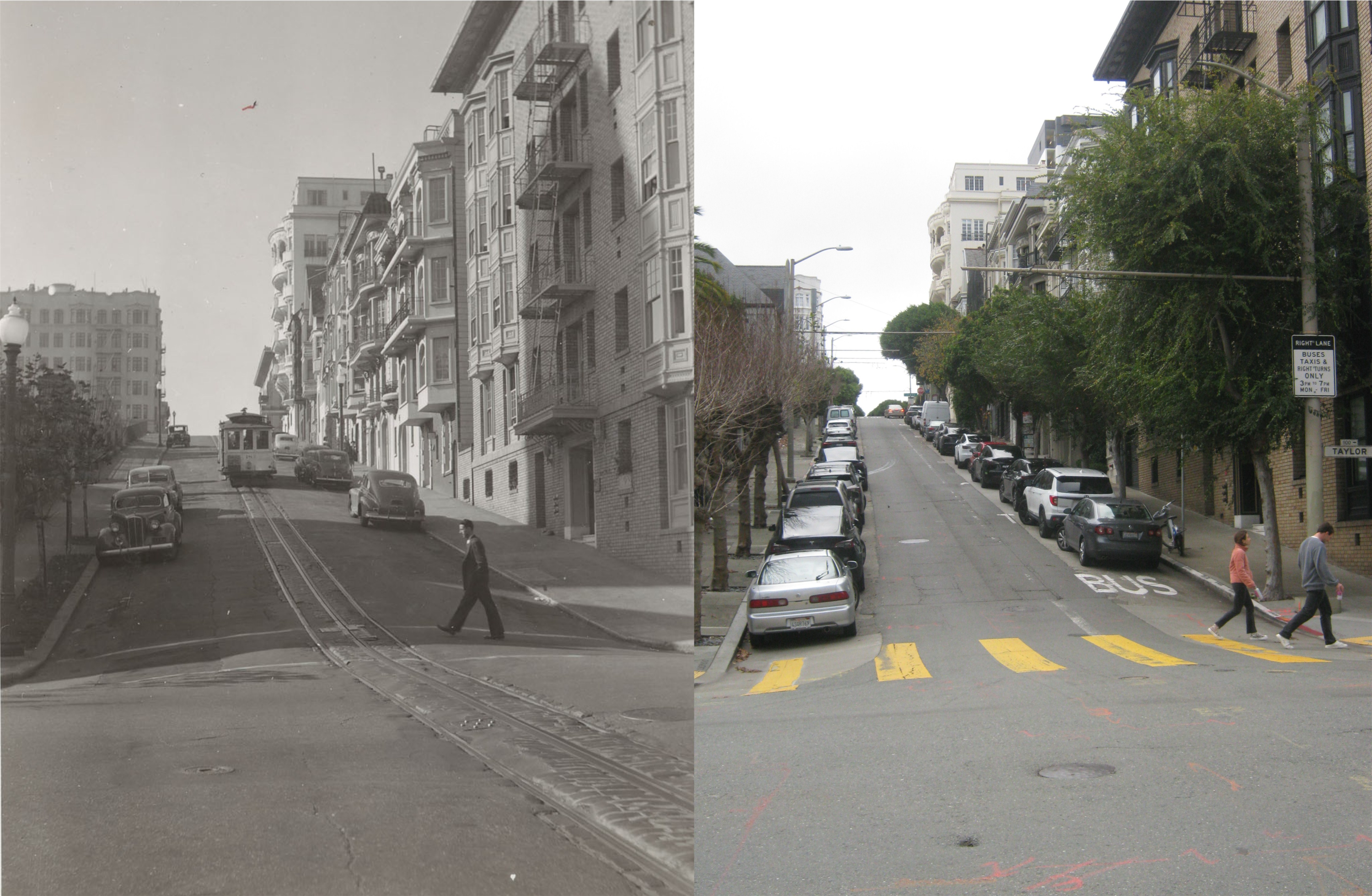
#1) Sacramento Street at Taylor in an undated photo from the 1940s, looking west. The expanded portion of Grace Cathedral is on the left in my picture. The cable car in the old photo is heading uphill and west.

#2) An undated photo from the 1950s, looking southwest from Jones Street: The tall building in the center of the vintage picture is the old Empire Hotel Building. You can still see the top part of it my picture.
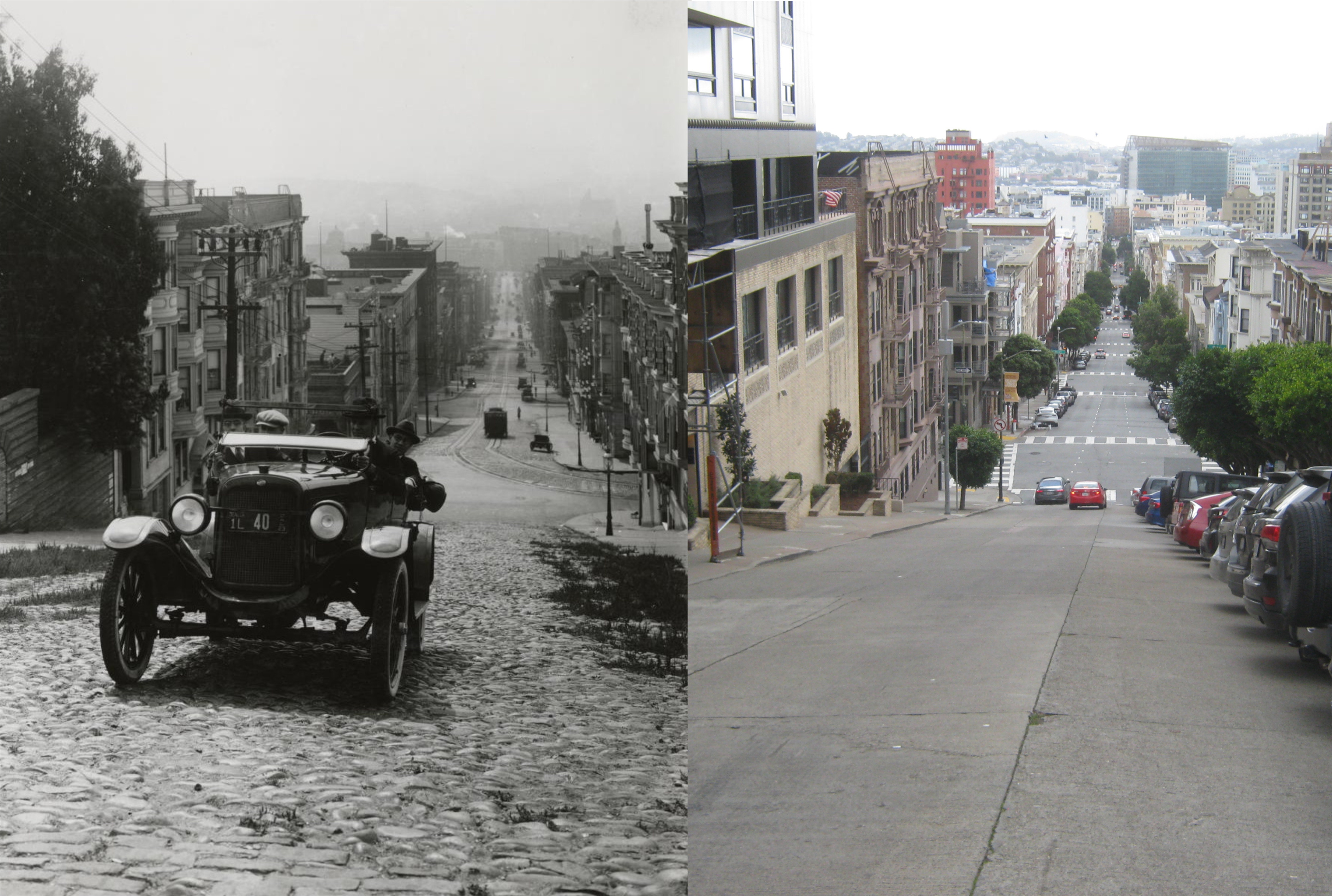
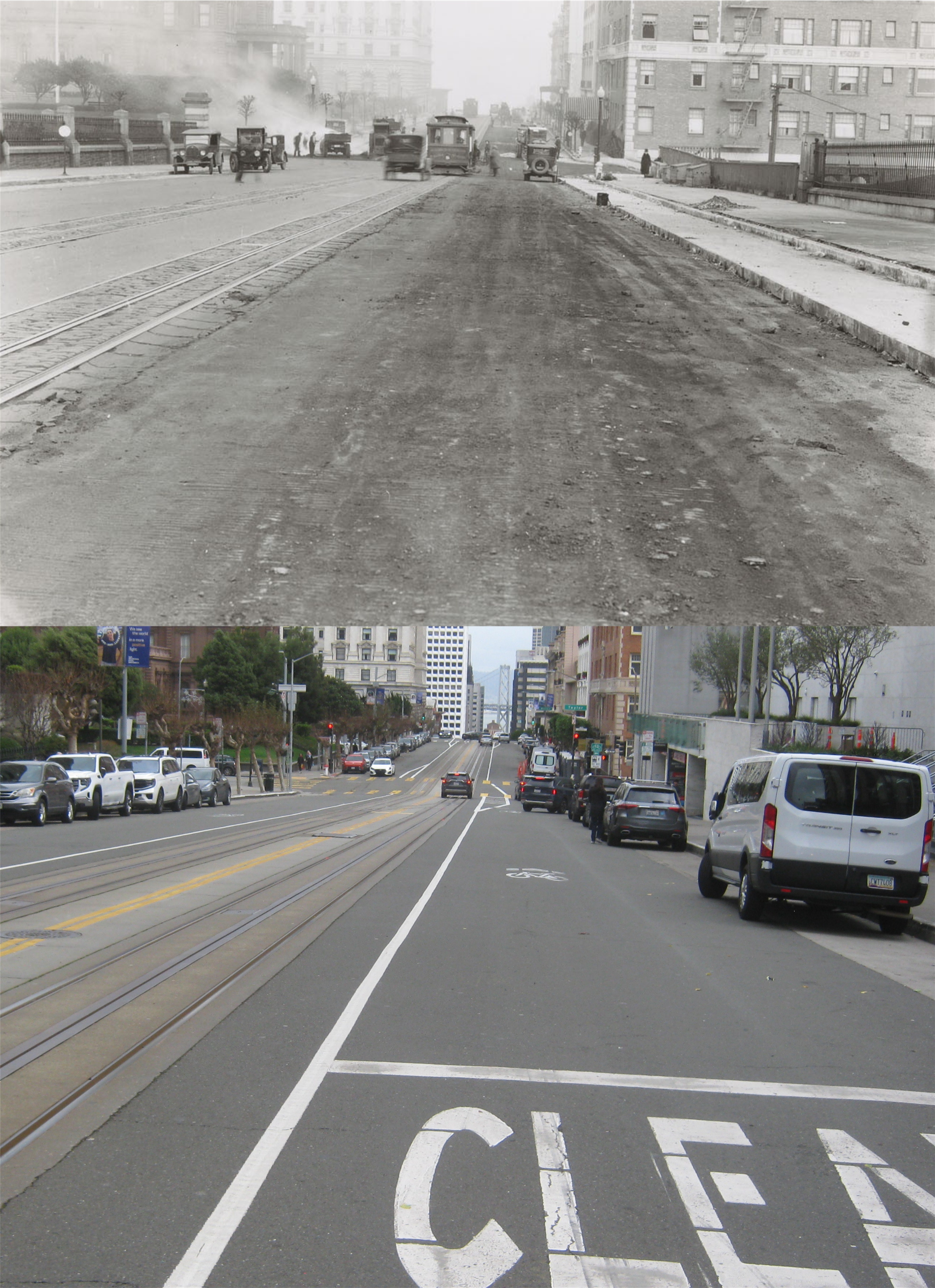
#3) Looking down a cobblestone Jones Street from California Street in 1923: Traffic flows the other way now, and this is one of the scariest streets to drop over on.
#4) Looking along California Street toward Taylor in 1928: The Masonic Temple blocks out most of the view of the Huntington Hotel on the right from here now. The Pacific Union Club and the Fairmont Hotel are on the left and center. Looks like some kind of truck fire on the left in the vintage picture.
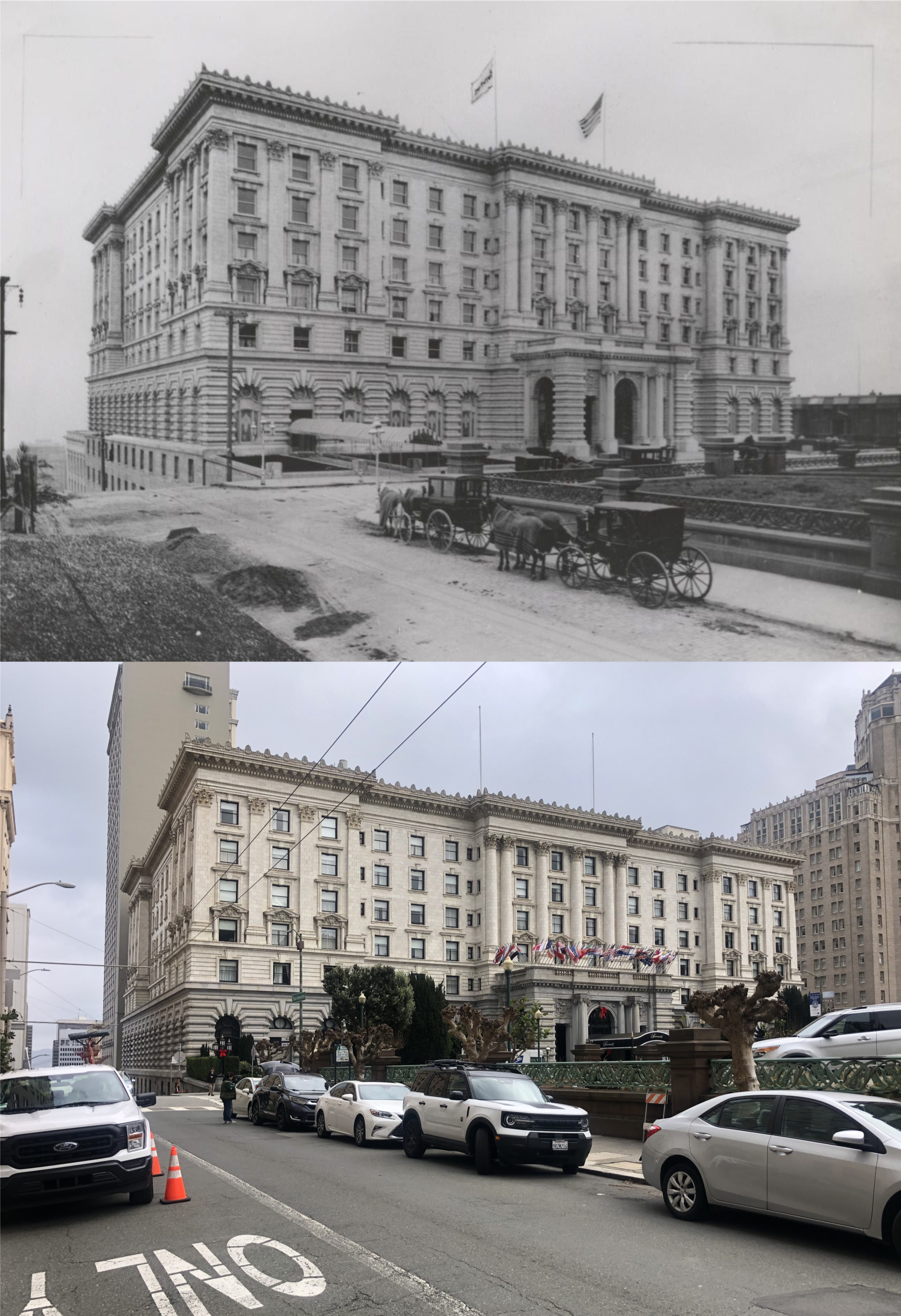
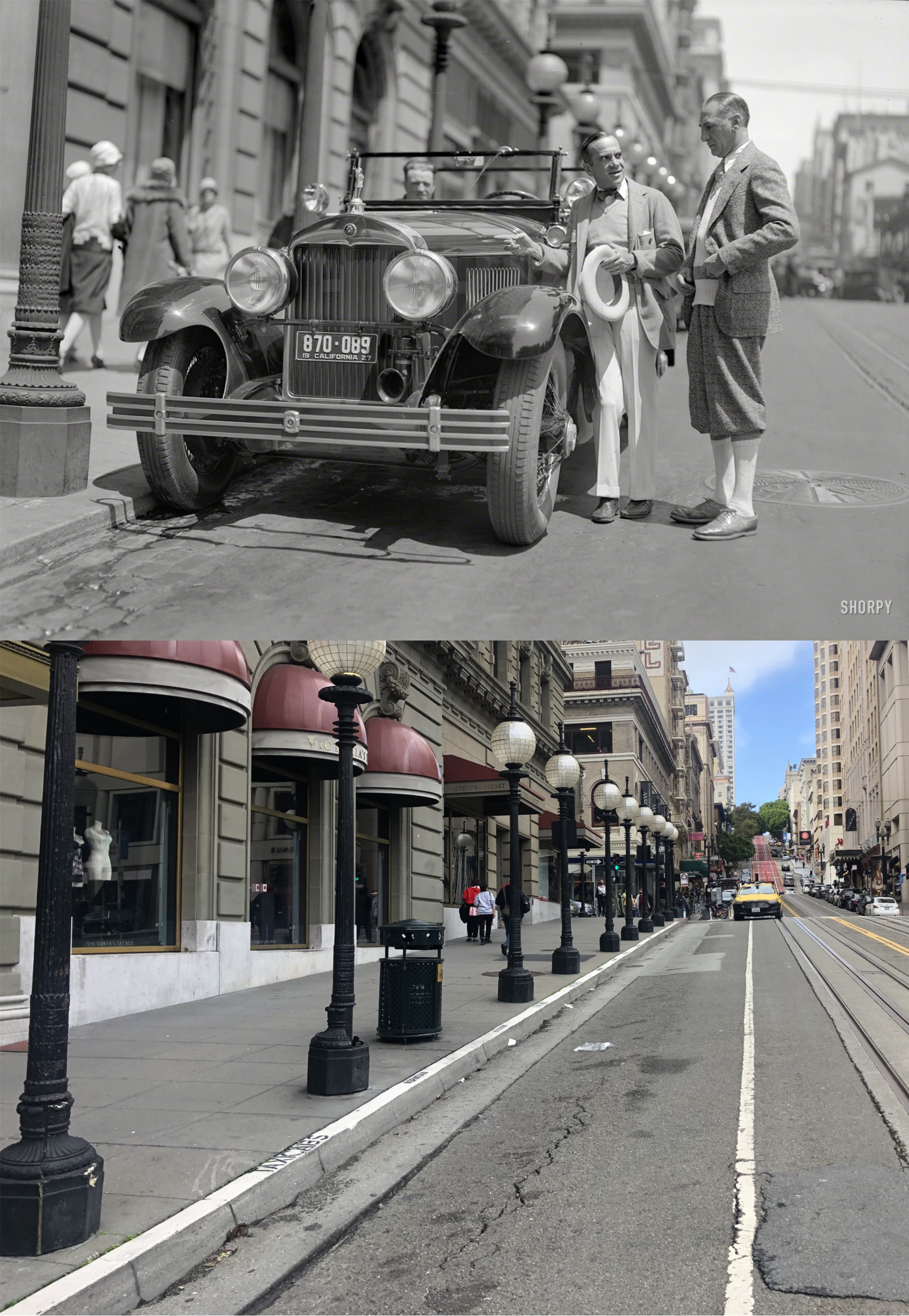
#5) Looking across Mason Street from Sacramento Street toward the Fairmont Hotel in 1908: This is a good time to step into the Fairmont Hotel.
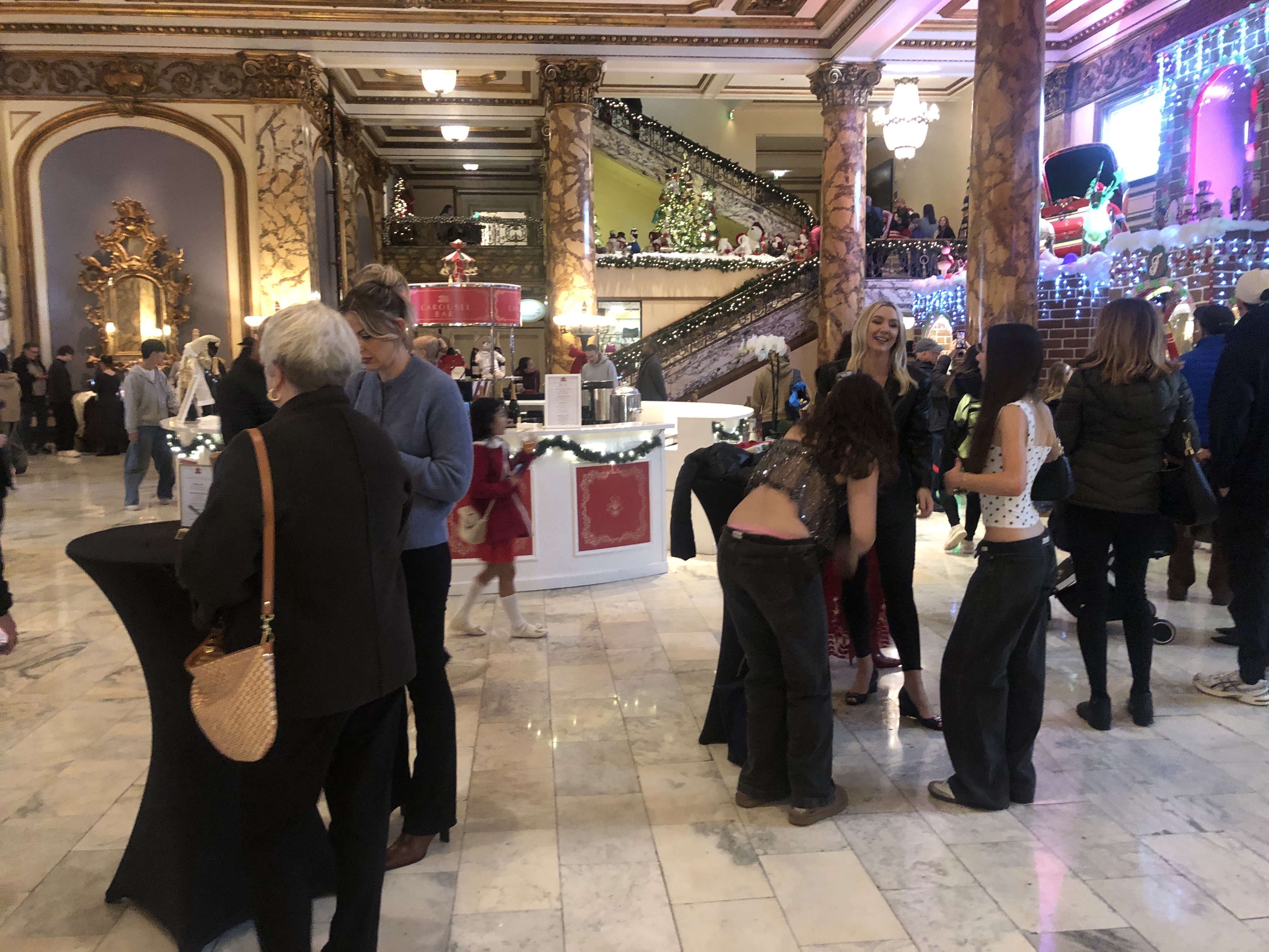
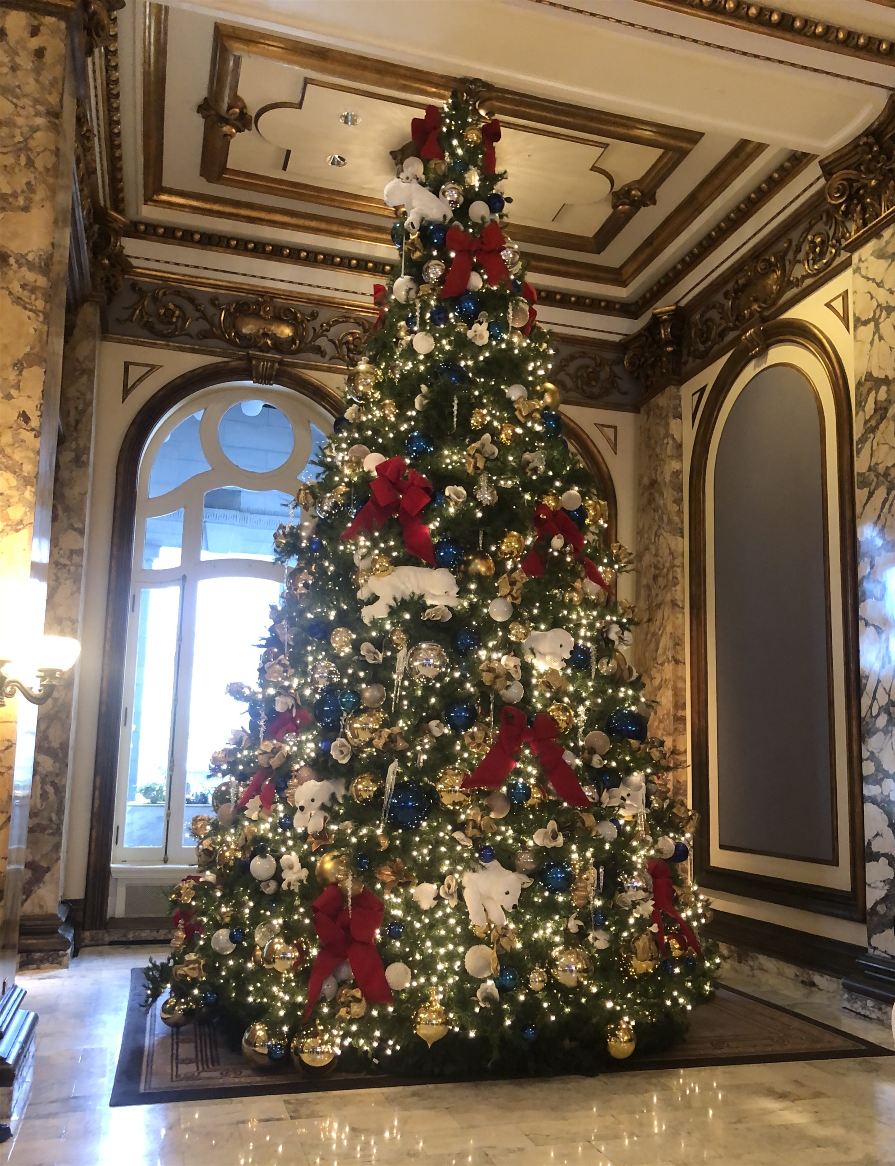

#6) They do it up right during the Holidays in the Fairmont Hotel Lobby. The view from the Roof Garden is nice too, although, any angle that makes the Trasamerica Pyramid and the Bank of America Building look taller than the Salesforce Tower, which is actually the tallest building in San Francisco, is okay with me.
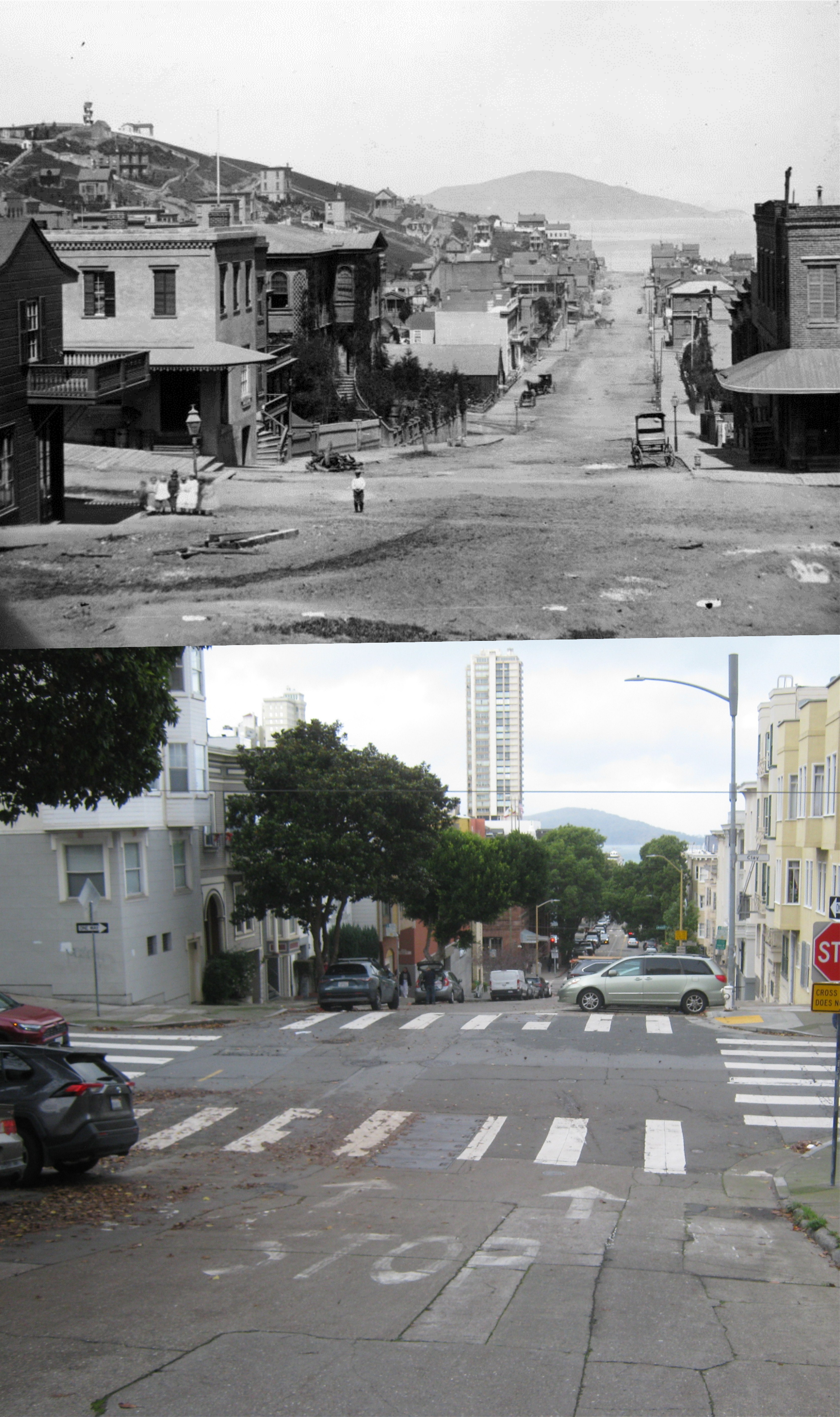
#7) Heading down Mason Street to Clay Street to catch the #1 MUNI back down Nob Hill. That’s an interesting pose on the 1876 photo of the intersection of Clay and Mason Streets; the man is standing in the street while what appear to be women and children are standing on the corner. I guess he just didn’t want them to be injured by any fast moving buggies. Obviously, the camera in the 1876 picture was further back from the intersection than I was. (San Francisco Library Digital Archives)
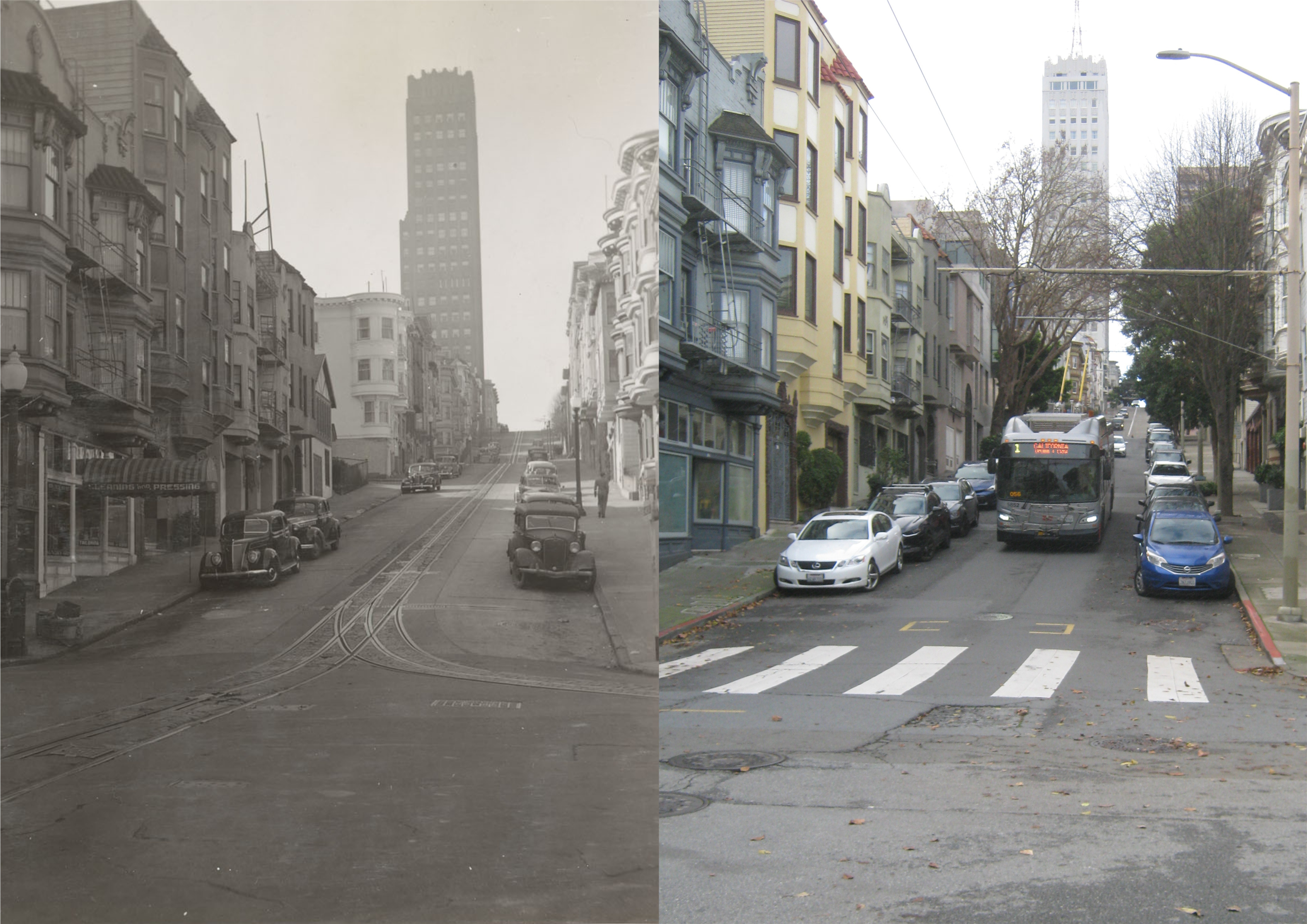
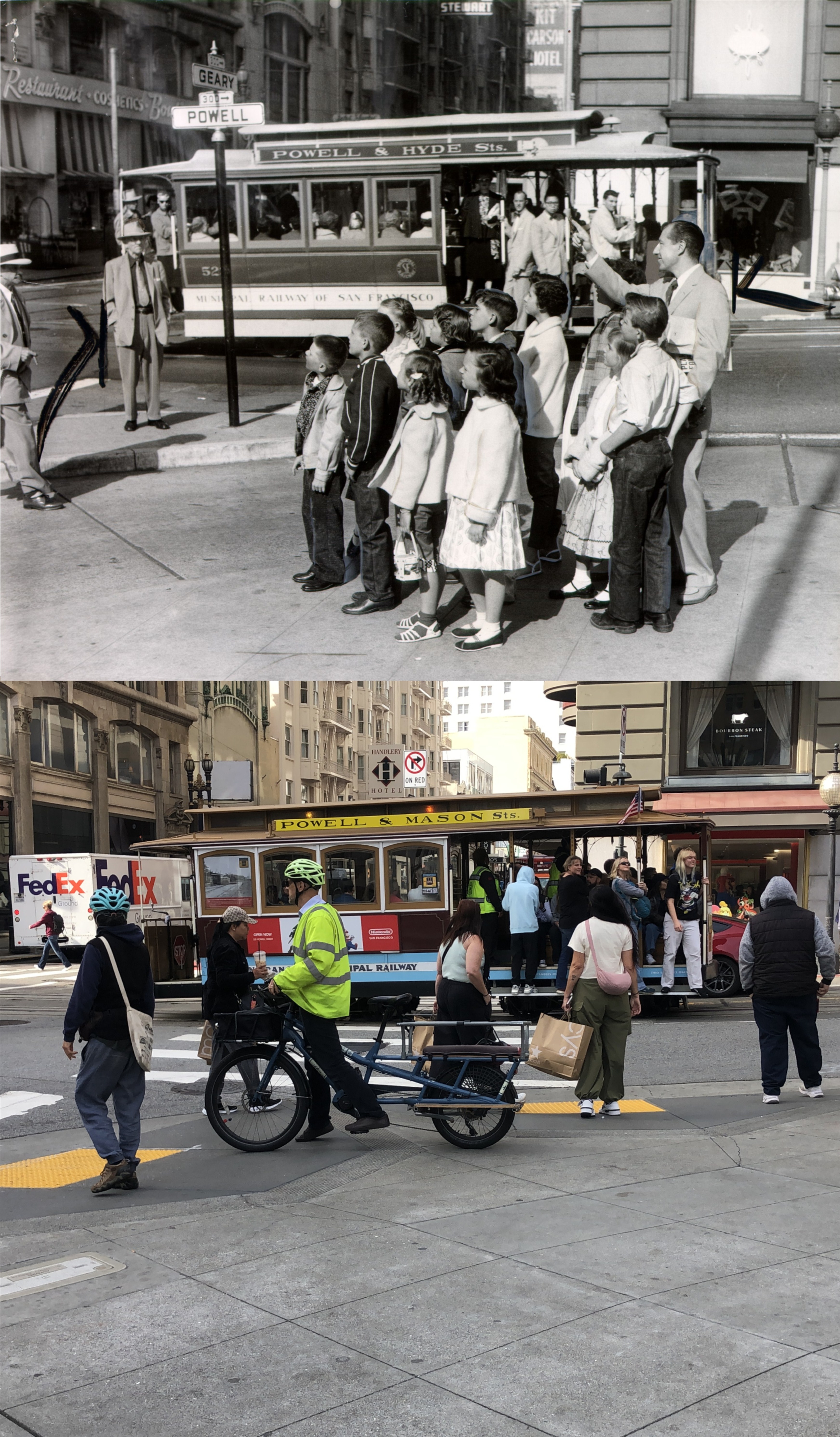
#8) This is an interesting 1940s picture to me, as well. Those are cable car tracks of the downhill cable cars heading east. Apparently, some cable cars turned north at Mason on that line, and headed to Fisherman’s Wharf. I didn’t know that! Incidentally, this was the exact route that Andrew Hallidie ran the very first cable car in August of 1873, although, he was heading uphill in the opposite direction. This original cable car route closed in 1942. I would like to have got a better lineup, but I had a bus to catch, and I just got across the street in time to get on the #1 MUNI back downhill.
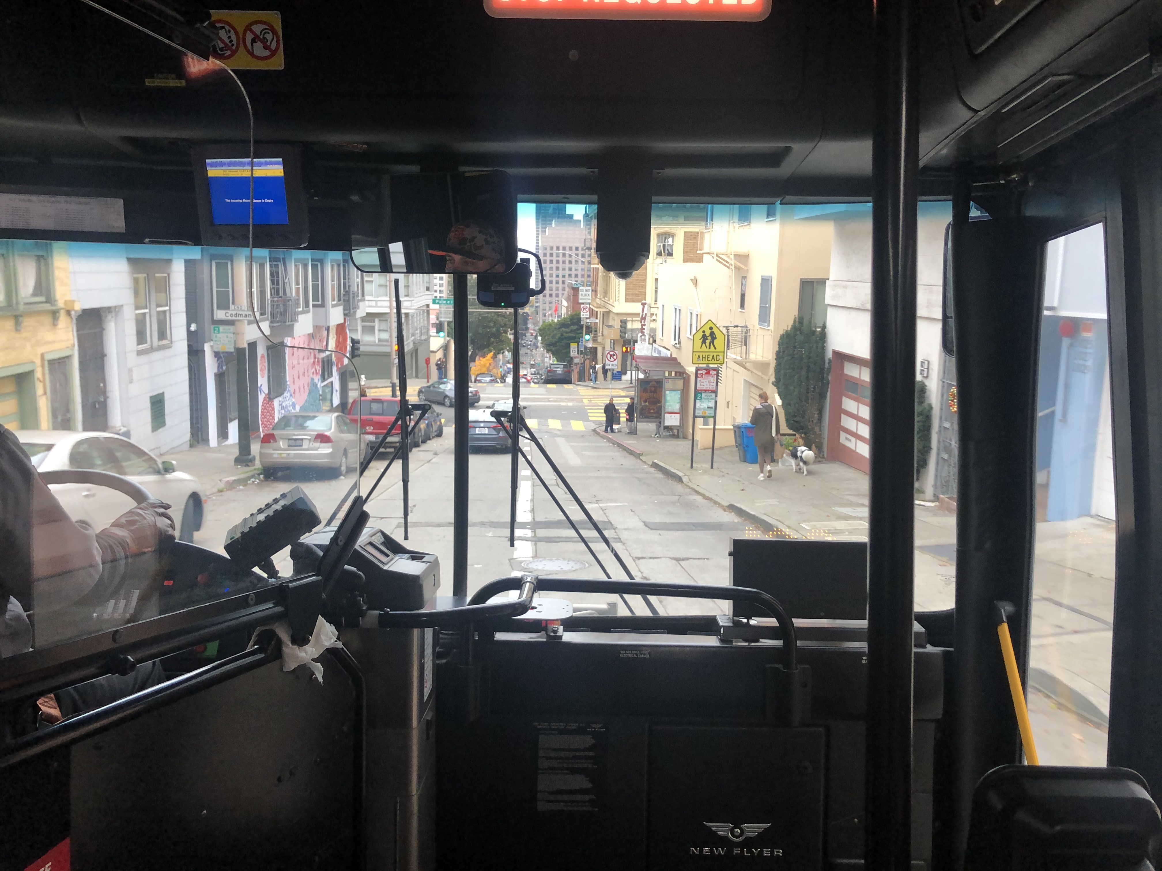
#9) #1, which starts its return journey way out west by Lands End, is usually standing room only at this point, and this day was no different.