Muni Heritage Day, 2022

Muni Heritage Day, 2022: Great fun for everybody and a chance for me to update some slide pictures I took in the 1980s. (Thumbnail images)

The festival was held here between Steuart Street and the Embarcadero, in front of the Muni Heritage Museum. The Muni Heritage Museum building wasn’t around when I took my 1984 slide with the infamous Embarcadero Freeway in the background.

The free streetcar rides took the less traveled route down Steuart, and left on Mission to the Embarcadero. My picture of the intersection is from 1984; you can see the Bay Bridge and the Embarcadero Freeway in the far background.

I headed over to Market Street to hitch a bus ride up to the Civic Center. The older image is from 1983; the Embarcadero Freeway would have been behind me.


8th and Market Street, looking toward the Orpheum Theater in 1985: This would have been around the time the F Line started running vintage streetcars on a regular basis.

Market Street at Powell, looking toward the Ferry Building in 1985: The streetcar in the vintage picture was in Saturday’s festival and maybe the bus next to it too. There are a lot of vintage buildings in these shots too; the Flood Building on the left, the Phelan Building, the Call Building, the Humboldt Building and the Emporium Building across Market Street, among others.

I even got a chance to update my picture from Muni Heritage Day, 2016. I haven’t changed a bit in six years; I mean, except I got older, and more tired, and have less energy, but other than that…..


7th, 8th, and 9th Streets

This is a follow up to my 4th, 5th, and 6th Streets post, which was a follow up to my 1st, 2nd, and 3rd Streets post. It doesn’t getting any lower than that, (in street numbers). Most of these updates are where the streets intersect with Market Street; you don’t want to wander too far down 7th, 8th, or 9th Streets from Market Street, unless you enjoy seeing “the (bitter) angels of our nature”. (Thumbnail images)

7th Street at Mission Street, looking west along Mission in 1915: In a SOMA area heavily developed now, at least two buildings on the left have survived. (SFMTA Archives/San Francisco Picture Blog)

The old 7th Street Post Office Building, between Market and Mission Streets, circa 1905: They wouldn’t have had too many new-fangled automobiles on the old stone 7th Street back then. (opensfhistory.org)

Looking east along Market Street at 8th in 1941, where the much loved Crystal Palace Market was. Horse Doovers were a MacFarlane Candy confection, with a play on words for the French appetizer expression hors d’oeuvre. (San Francisco Picture Blog)

8th Street, looking toward the old City Hall near Market Street in 1905: The City Hall Building, located where the San Francisco Main Library is today, crumbled within minutes after the 1906 Earthquake. (opensfhistory.org)

Very little has changed looking east along Market Street since 1931; except for the Transamerica Pyramid and the Bank of America Buildings peeking out over the top on the picture right of the old Empire Hotel Building. (SFMTA Archives/San Francisco Picture Blog)

Looking west along Market Street at 9th in 1985; they were just beginning to run the old streetcars along Market Street back then. Twin Peaks are in the far background of both pictures. (San Francisco Picture Blog)

Only motorcycle parking is allowed now in front of the old Wells Manufacturing Company Building on 9th Street, south of Howard Street. The vintage picture is from 1951. (opensfhistory.org)


The SS Jeremiah O’Brien Memorial Cruise, 2022

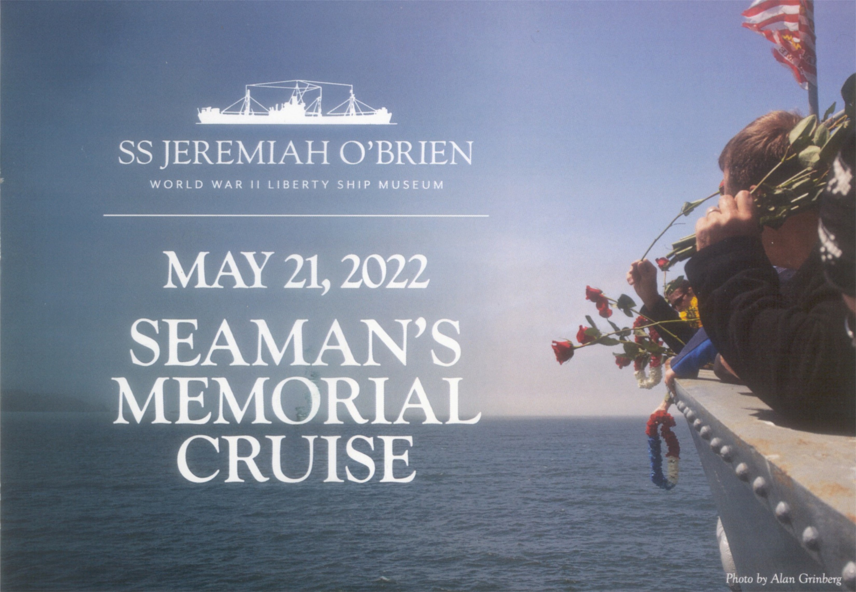
Two Mays ago, May 23rd 2020, a horrific fire destroyed one fourth of Pier 45 at Fisherman’s Wharf, and nearly destroyed the historic World War Two Liberty Ship, the SS Jeremiah O’Brien, docked at Pier 45. Only the quality action of firefighters saved the ship from destruction. Last Saturday, the Jeremiah O’Brien was able to take visitors on her traditional May Memorial Cruise for the first time since May of 2019.(Thumbnail images)

A dramatic aerial photo from WTOP News shows a fireboat, not only trying to put out the fire on Pier 45, but also, desperately trying to save the Jeremiah O’Brien. The aft section of the Liberty Ship is at the top of the photo.

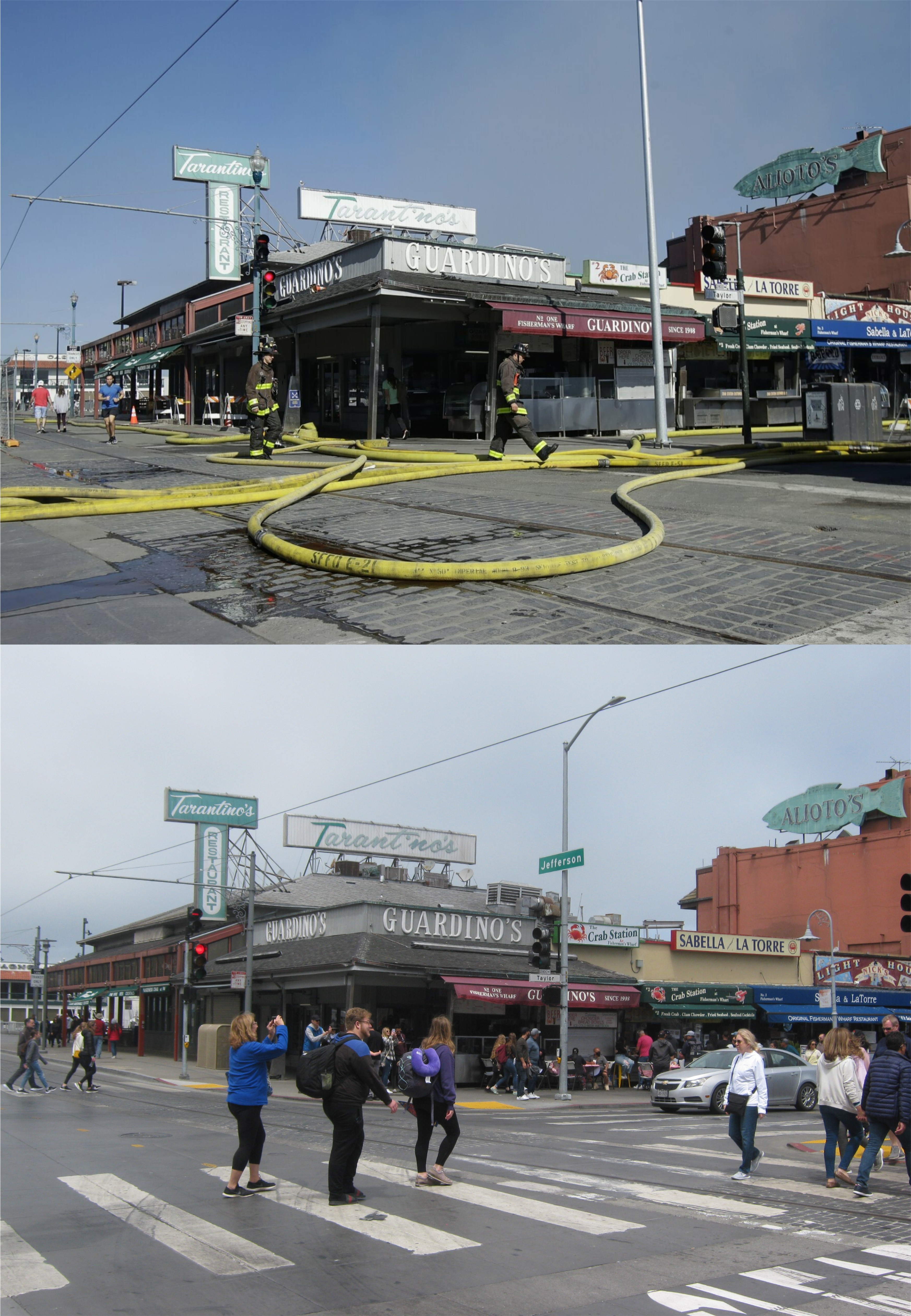
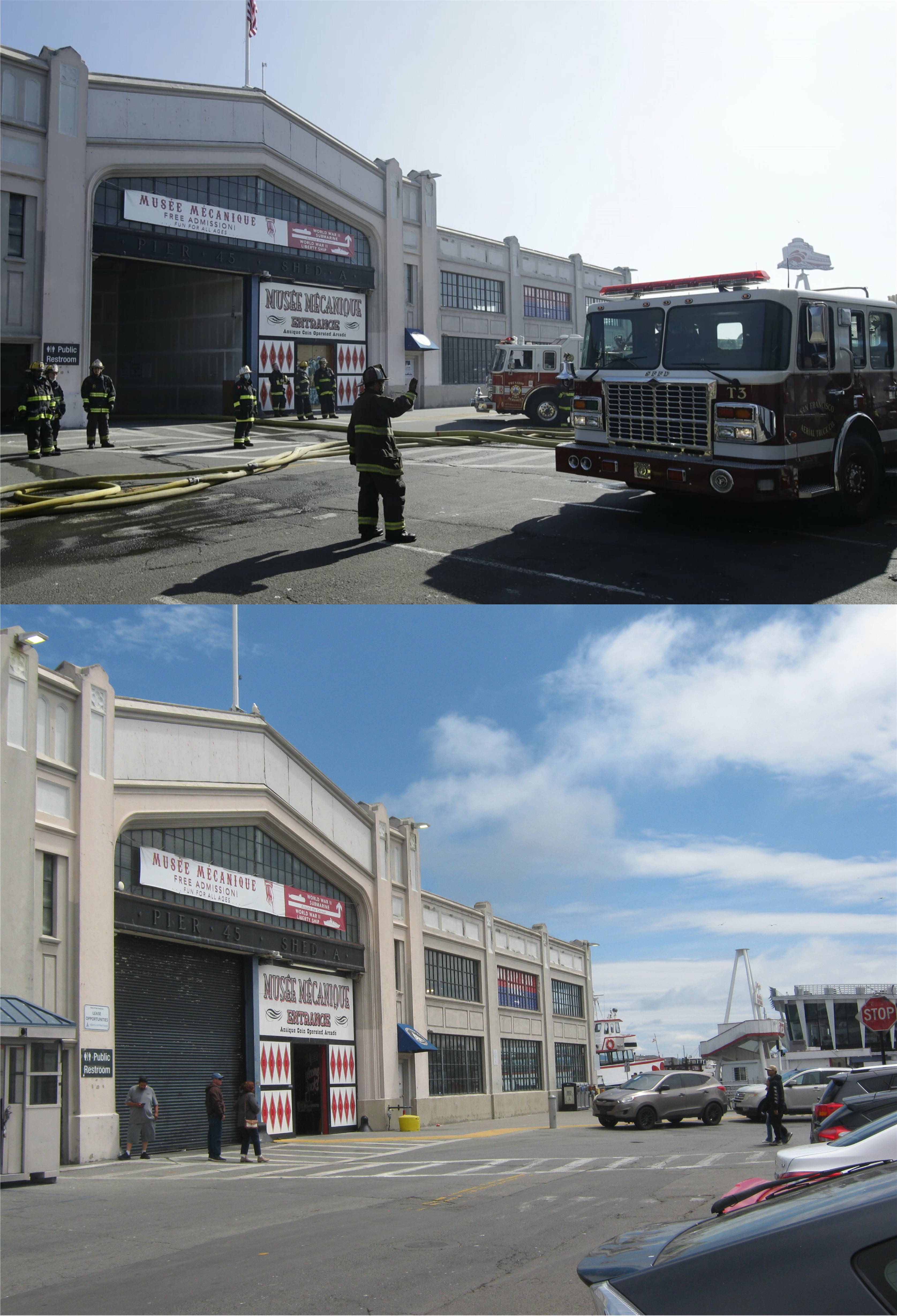
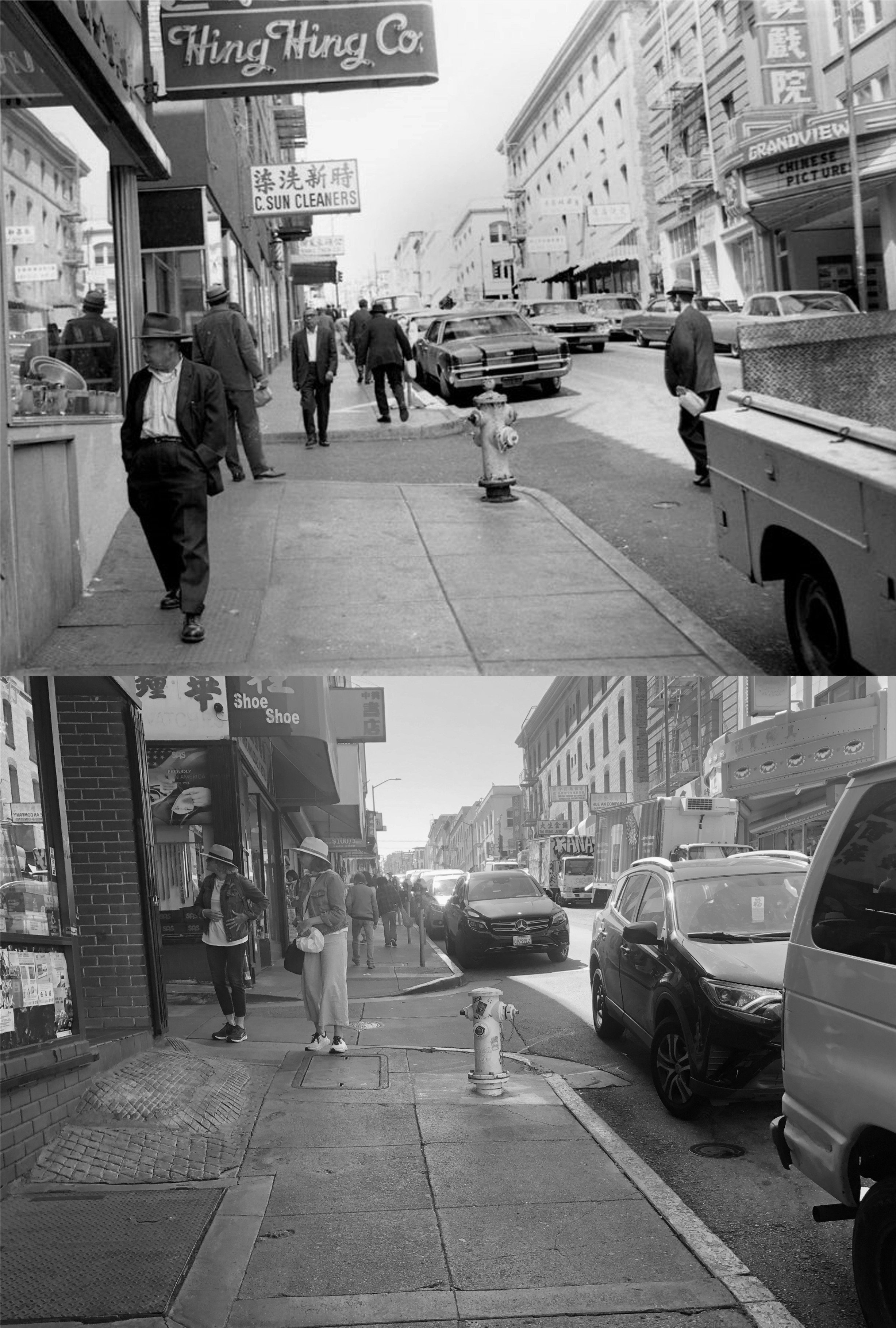
Firefighters at the intersection of Jefferson and Taylor Street, stretch hoses through Fisherman’s Wharf to try to reach Pier 45: Due to the Covid 19 shelter-in-place order issued two months earlier, Fisherman’s Wharf was nearly empty when the fire broke out. The crowds were back at the Wharf for the Memorial Day Weekend of 2022. By coincidence, I got a fire truck in my current picture looking north on Taylor Street past the Fisherman’s Wharf sign.(WTOP News)


Firefighter run hoses past the Musee Mecanique arcade attraction, closed at the time of the fire. (WTOP News)

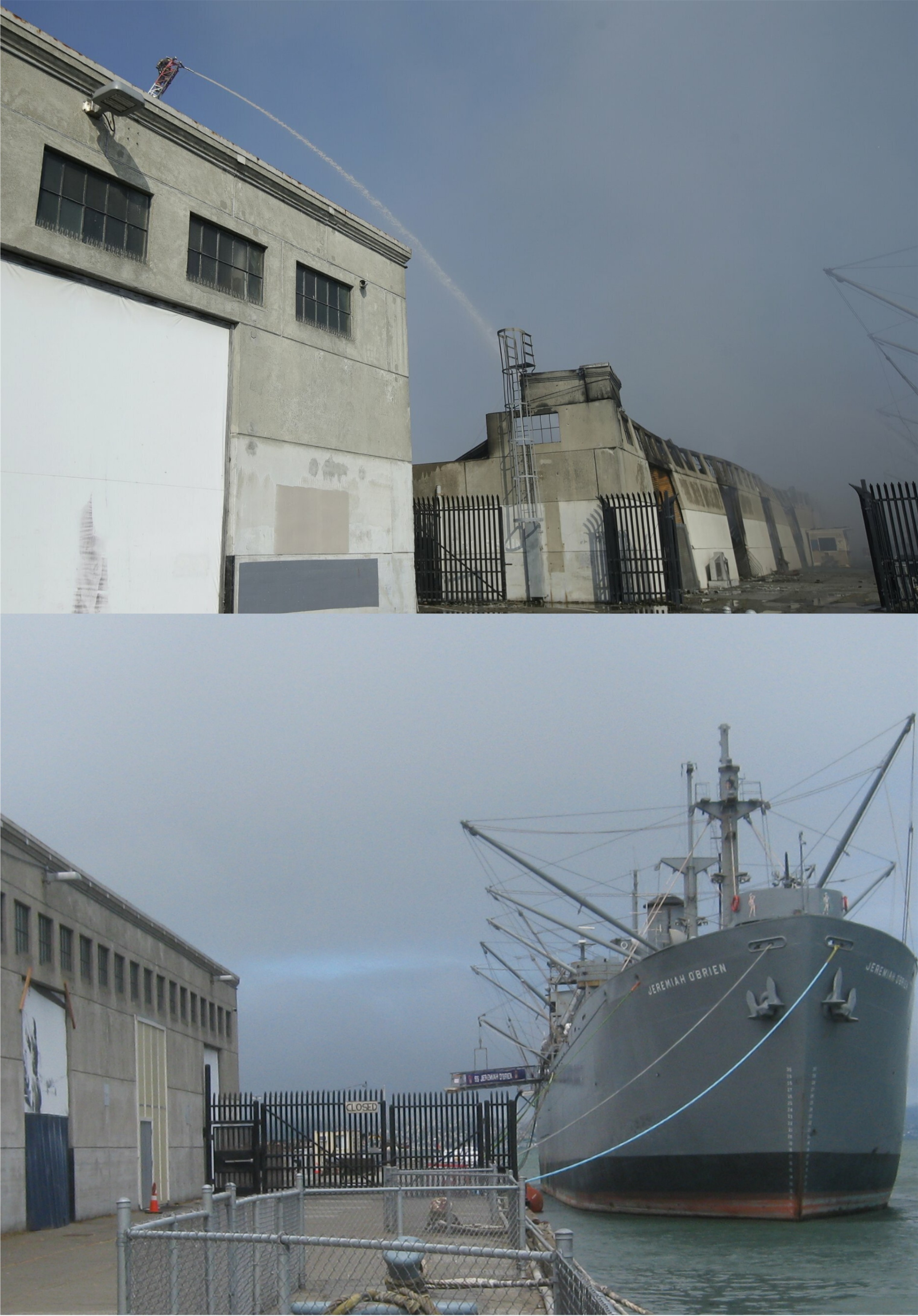
A hose from the crane of a fire truck pours water on the destroyed Shed C section of Pier 45. Rigging from Jeremiah O’Brien can be seen on the right in the earlier picture. The ruins of Shed C in the background have been completely removed now. (WTOP News)

An ABC TV drone photo shows Pier 45 before and after the fire.

With the Jeremiah O’Brien getting up steam for her 2022 Memorial Cruise, we logged in at 9:A.M.

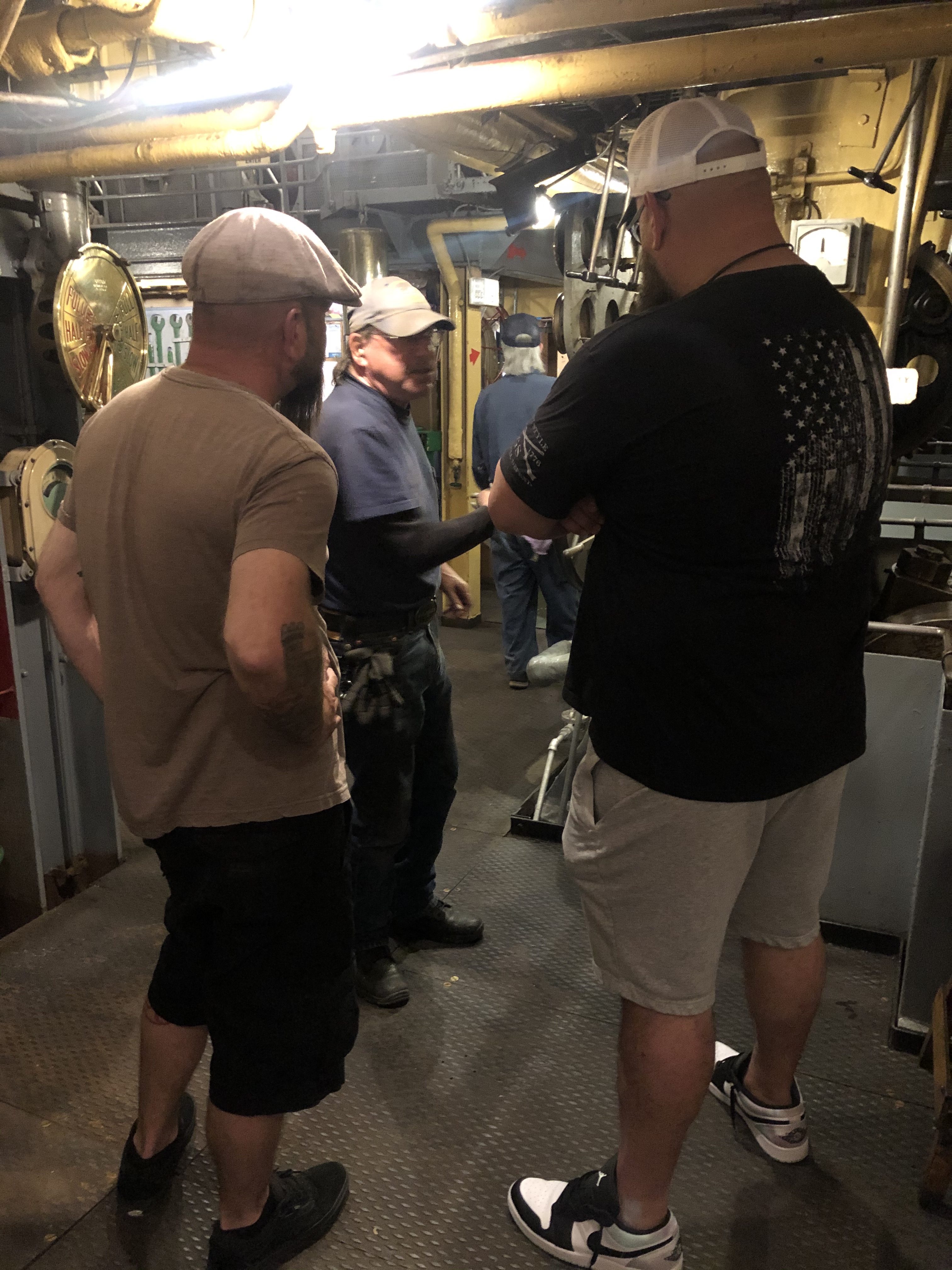
Crew member, Kevin, explained to a few guests how the ship operates.

“It’s like a Tesla self driving car. You push this button here, and it cruises around the Bay by itself.”

They weren’t buying it.

Some of the ladies were dressed in period costume. You folks aren’t buying that either.

Looking back to the destroyed Shed C section of Pier 45 as we pulled away and headed out to the “high seas”: That’s not as inaccurate as it sounds: we didn’t quite make it into international waters, but we got out into the Pacific Ocean.

As we got underway, the guests relaxed to enjoy the cruise.

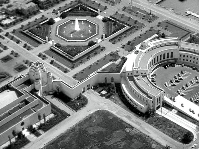
We circled around Alcatraz, seen a 1960 picture, from a near angle as the current picture, and headed out to the Golden Gate. Although not as many as the earlier days, there were still quite a number of prisoners on the “Rock” when the 1960 picture was taken’ (opensfhistory.org)

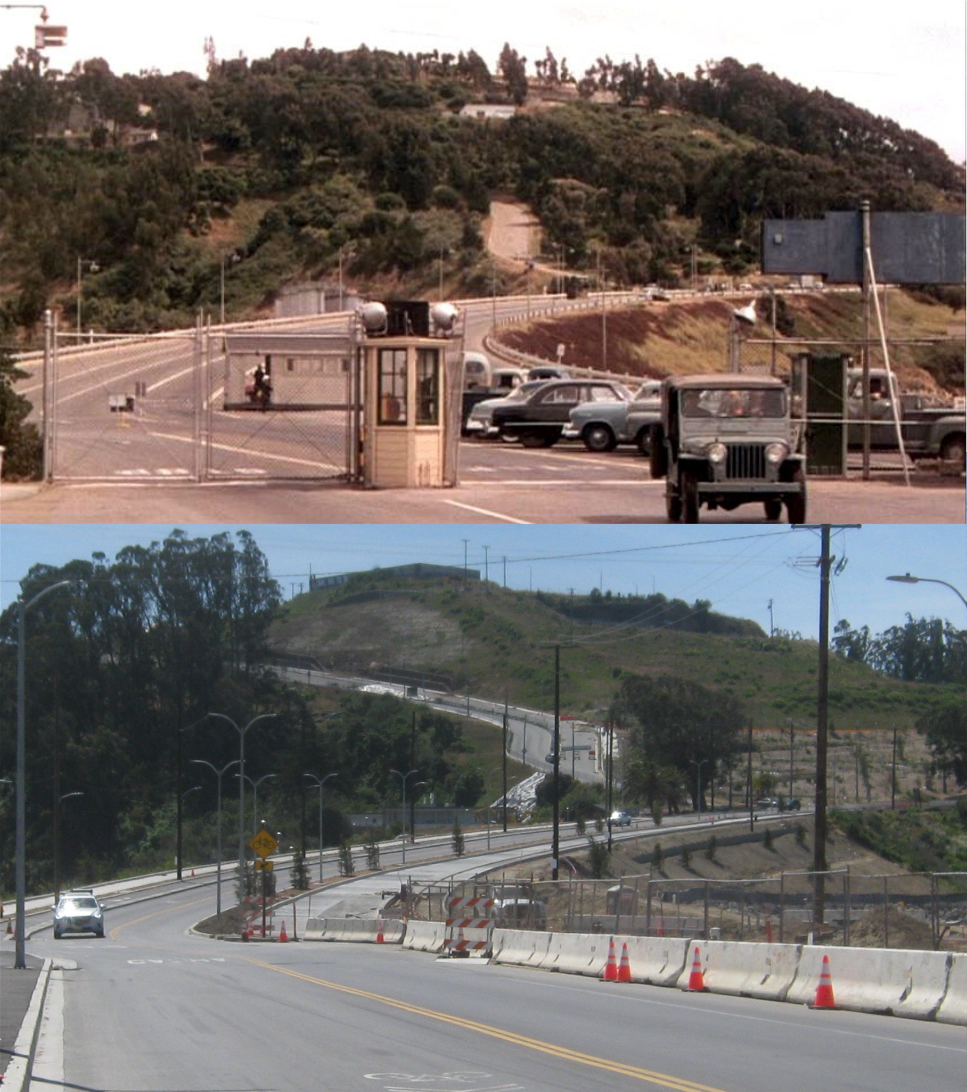
A view of the north Tower of the Golden Gate Bridge as we passed under from near where the 1950s picture was taken: (opensfhistory.org)

When we sailed out into the Pacific Ocean, flowers and wreaths were tossed over the port side of the ship for veterans and crew members of the Jeremiah O’Brien lost since the last Memorial Cruise, and Taps were played.

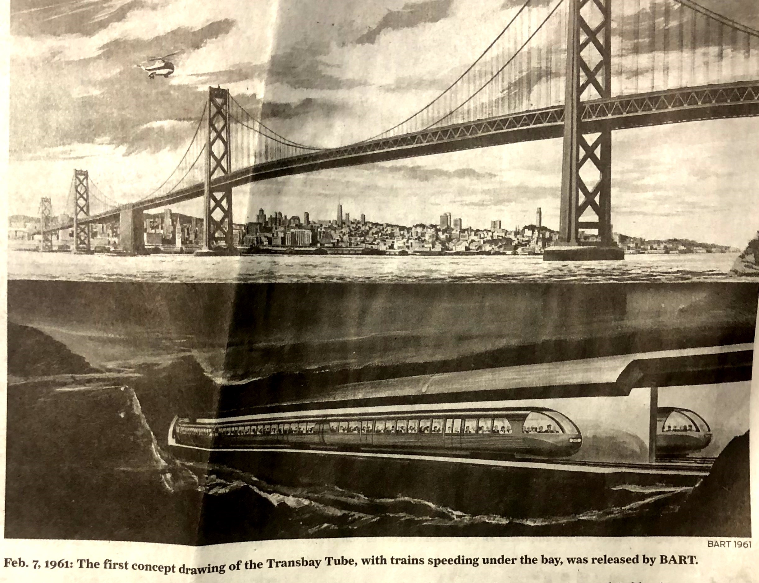
After the ceremony, we headed back for a cruise under the Bay Bridge, seen in 1961 in the old photo. (opensfhistory.org)

The tugboats hooked up with us again as we neared Pier 45, and pushed us back into port. With a little editing, my picture lines up pretty good with the old 1958 picture looking toward Pier 41. The sailing ship, the Balclutha, now tied up at the Hyde Street Pier, is in the left in the vintage picture.

A city in motion, part two (Thumbnail images)

Motion on the Bay Bridge in the 1970s: I should have been one more lane over to the center, but I have two excuses; the truck in my picture would have blocked out the Bay Bridge towers. Also, I took my picture before I found the 70s picture, and it made a good match up.

People in motion at Market, Ellis, and Stockton Streets in 1947: No, it’s not your imagination; there definitely aren’t as many people in my picture at this corner as there was in the old photo. In fact, I’m not sure there were that many people in all of San Francisco on the day I took my picture! Both pictures are looking across Market Street to the old Pacific Building on Market Street and 4th, built in 1907. (SF Gate/San Francisco Chronicle)


The motion of mass transit; the Muni Metro Powell Station in the 1980s: The Muni Metro Subway System is another one of the things that “The city that knows how” gets an A+ on. (SFMTA Archives)

Traffic in motion near the Embarcadero Freeway entrance at Broadway and Sansome Street in the 1970s: I used this entrance often before it was demolished in 1991, and I have to admit that made getting to the Bay Bridge easier. However, that said, I don’t miss the Embarcadero Freeway one inkling. (Redditt)

The motion of a parade: “When Johnny comes marching home again. Hurrah! Hurrah!” Doughboys marching past 5th and Market Streets in 1918; back from the World War One battlegrounds of Europe: (SF Gate/San Francisco Chronicle)


The new Treasure Island Ferry Service

I should have posted this yesterday after I took the ride; it would be a great place to take your mom for lunch on Mother’s Day. They have a restaurant out there that gets favorable reviews called the Mersea Restaurant, which probably isn’t going to be crowded today. The fifteen minute boat ride cost five bucks out and five bucks back, and is well worth it with the spectacular views of San Francisco and the Bay along the ride. (Thumbnail images)

The skyline view of San Francisco is a lot different now than it was in 1970. You can still see at least three buildings from here  now, The Ferry Building, the Southern Pacific Building, and the Bank of America Building. (opensfhistory.org)

The Bay Bridge under construction in the mid 1930s: (opensfhistory.org)

You dock across from the old Administration Building, one of the only three surviving buildings from the 1939/1940 Treasure Island International Exposition on the island.

Inside the Administration Building:


In the 1939 film ‘Charlie Chan at Treasure Island’, staring Sidney Toler as Chan, there’s a great aerial view of the fair from the Pan Am flying boat that  Charlie Chan arrives at Treasure Island from Hawaii on. It passes over the Administration Building and the Sun Tower.

Docking at Clipper Cove, Chan is hot on the trail of another murderer. That’s the new and old eastern span of the Bay Bridge in the background.

The old Clipper Cove, where the China Clipper Flying boats used to take off and arrive overseas to and from the Philippines.

The mutiny trial from the 1954 film ‘The Caine Mutiny’, starring Humphrey Bogart, takes place in the Administration Building. Here, Jose Ferrer passes the checkpoint in a Jeep on his way to the Administration Building to prepare for his defense of the mutineers.


The jeep pulls up to entrance to the Administration Building.

Pulling away from the island, and heading back to the office just in time to catch the Kentucky Derby Race on TV.

Chinatown, 2022

Some people spend their leisure time golfing, and some people spend their leisure time on their yacht; that second one’s still in the planning stage for me. Some people spend their leisure time climbing tall mountains; I’ll get around to that someday too.  Me, I spend my leisure time taking pictures in San Francisco, especially in Chinatown. What is it about this ancient ghetto that draws me to it? It’s not really ancient, most of it only goes back to 1906, and it’s not really a ghetto (marginal community) although I’ve read it being described as one by some urban scholars. My interest in the area goes back to when we were kids; going to Chinatown seemed like going to a different part of the world. Then, as I read more about the history of the community, the shanghaiing, opium dens, sexual slavery, tong wars, villains like “Little Pete”, it became more adventurous to go there. I think Telegraph Hill is the most romantic place in San Francisco to walk around at night, but Chinatown is the most intriguing. Chinatown is rebounding nicely from the COVID 19 Pandemic, and it’s good to see the crowds coming back. (Thumbnail images)

Grant Avenue at Commercial, looking south in the 1960s: (Pinterest)

The Willie “Woo Woo” Wong Playground in 1969. The playground has been recently renovated. The alley running alongside it from Sacramento to Clay Street is called Pagoda Place and Hang Ah Street. (Vintage Everyday)

Jackson Street at Ross Alley, looking west in 1969: The old Grandview Theater Building is on the right. This one turned out better in black and white. (Vintage Everyday)

Grant Avenue, looking north toward Clay Street in the 1960s: (Pinterest)

Jackson Street between Stockton Street and Grant Avenue, looking east in 1972: Even if the truck wasn’t blocking the view in my picture, you can’t see much of the old Appraisers Building in the background from here anymore. (Vintage Everyday)

Waverly Place, looking north from Clay Street in 1982: In the background, at the far end of Waverly Place, is the spot where the tong lord, “Little Pete” was assassinated in 1897. (Vintage Everyday)

Drumm Street

Drumm-de-Drumm-Drumm! That’s the theme to the old television show ‘Dragnet’. On the first Saturday I took off work since December, I rode BART into San Francisco and got off at the Market, California, and Drumm Streets stop at Embarcadero. Drumm Street used to extend six blocks from Market Street to the Embarcadero at Broadway, but most of the buildings built on Drumm, except for the Western side between California and Sacramento, have been demolished for the Embarcadero Center, Maritime Plaza, and the apartments between Jackson Street and Broadway. The street may have lost its character, (Herb Caen once wrote that there was a building called the Fife Building on Drumm Street) but it’s a lot more people friendly today. (Thumbnail images)

There was a cool picture of a drawing in the San Francisco Chronicle recently of a 1961 artist’s rendition of what the BART Transbay Tube was going to look like.


Looking down California Street toward Drumm Street in 1948: That’s the Southern Pacific Building in the background. (opensfhistory.org)

Pedestrians crossing Drumm Street at Market Street in 1925: (opensfhistory.org)

A cable car passing across Drumm Street, heading to Nob Hill in 1961: I did an update of this picture last year, but I felt like redoing it on Saturday. (San Francisco Picture Blog)


General De Gaulle’s motorcade turns of Drumm Street onto California Street during his 1961 visit to San Francisco. All of the buildings in the background, other than the Southern Pacific Building, peeking over the top on the left, have been demolished.


Vintage San Francisco

There’s a Facebook page that I found recently titled, aptly, Vintage San Francisco. They’ve posted some wonderful long-ago San Francisco pictures, but they haven’t updated their page recently. I hope they continue posting. Here are a few updates I’ve done of some of their vintage photos. (Thumbnail images)


Market Street at Grant Avenue, circa 1917: “The Largest American Flag in the World” flies above Market Street.


A 1909 postcard of the Sharon House at the Children’s Playground in Golden Gate Park:

The White House Department Store on the corner of Sutter Street and Grant Avenue in an undated photo: the building was built in 1908, and now houses the Banana Republic Store.


Just two days ago, April 18th, a crowd, including Mayor London Breed and former Mayor Willie Brown gathered here at Lotta’s Fountain at 5:12 AM to commemorate the 1906 Earthquake and Fire. The vintage picture, with the Chronicle Building on the left, and the Palace Hotel on the right, is from 1909.


A mother and her two daughters pass the Cliff House heading up to the Sutro Bathhouse, circa 1900: Looks like there was some bullying going on between the big girl in the dress on the right and the little girl with her mom, looking back.


409 Laguna Street in 1908: Maps of the 1906 Fire show that the blaze extended to three blocks west of Van Ness to Octavia Street. The Laguna Apartment Building here is one block further west past Octavia, and if it was around two years before the vintage photo was taken, it just missed destruction.


Tax Day, 2022

Tomorrow is April 18th, Tax Day, 2022. It’s also the anniversary of the 1906 San Francisco Earthquake and Fire. I’m trying to figure out a clever connection there, but like any of the tax returns I’m supposed to finish by April 18th, I’m still working on it. Anyway, in honor of the occasion, here are some updates I’ve posted in the past of vintage pictures from the disaster.(Thumbnail images)

Looking down Market Street, near 5th: The Flood Building, center left, is among several buildings in the vintage picture that survived.

Looking across Union Square toward Union Square:

The foot of Market Street where the Hyatt Regency, on the right, is today:

Kearny Street, up from Broadway, looking south:

This photograph by Arnold Genthe, looking down Sacramento Street from Powell, is often listed as one of the ten best photographs ever taken.

The fire approaching the Ferry Building, in a view from the Bay: The width of the Embarcadero prevented the fire from destroying the historic building.

Looking east on Market Street: The gothic looking Mutual Savings Building in the center, and the now remodeled Call Building on the right are still around.

The Ferry Building from where the Embarcadero Center is today:

The Children’s Playground in Golden Gate Park:

Looking northeast from Alamo Square, long before ‘Full House’:

A southeast view of Downtown San Francisco from below Nob Hill:


Postcards from the past (Thumbnail images)

“Long past?”

“No, your past.”

These are postcards of San Francisco that I bought when I was in high school. If I remember correctly, many of them I bought for a dime at the old Transbay Terminal Building when heading home from a day in SF. Progress has taken its toll on the beauty of the views in many of these postcards. I opened up with a line from Dickens ‘Christmas Carol’, so I’ll sum up the San Francisco you’ll see in a lot of these old postcards by quoting the last thing Jacob Marley’s ghost said to Ebenezer Scrooge;

“Look for me no more.”

Lombard Street, “The World’s Crookedest Street”, to which Herb Caen added, “after Wall Street.”.

Looking toward Alioto’s, Fishermen’s Grotto, and Pier 45:

SOMA from Twin Peaks, with the Pacific Telephone Building the only skyscraper:


The Cliff House and Sutro Baths at Lands End: Sutro’s was gone and his postcard was already outdated when I bought it.

Civic Center, with the water pools still in front of City Hall:

Above the Fisherman’s Wharf Lagoon and Pier 45: The little chapel is now where the white building at the bottom center was.

The view from the Coit Tower parking lot, looking toward Piers 39 and 41, both demolished now:

An aerial view of northeastern San Francisco before the skyscraper boom of the late 1960s changed the view radically:


Above the portion of Golden Gate Park where the Midwinter International Exposition of 1894 was held: All of the structures except the Band Concourse have been demolished and rebuilt. I liked it so much better before.

The Cliff House that I loved the best:

Looking along Market Street past the Ferry Building; this is my favorite one.

Ghirardelli Square and the Maritime Museum:

Telegraph Hill and Coit Tower:

And remember, “Don’t call it Frisco”.