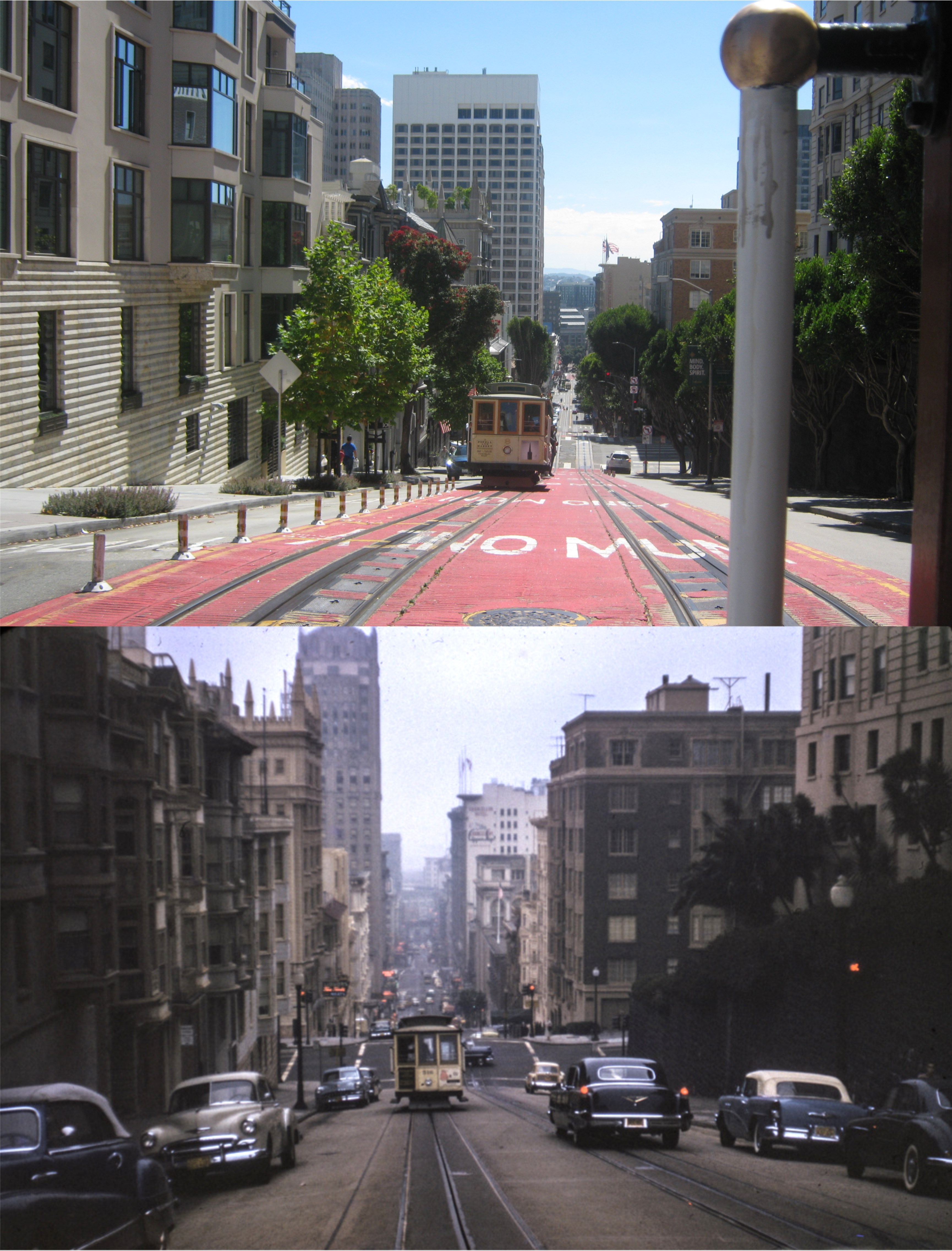
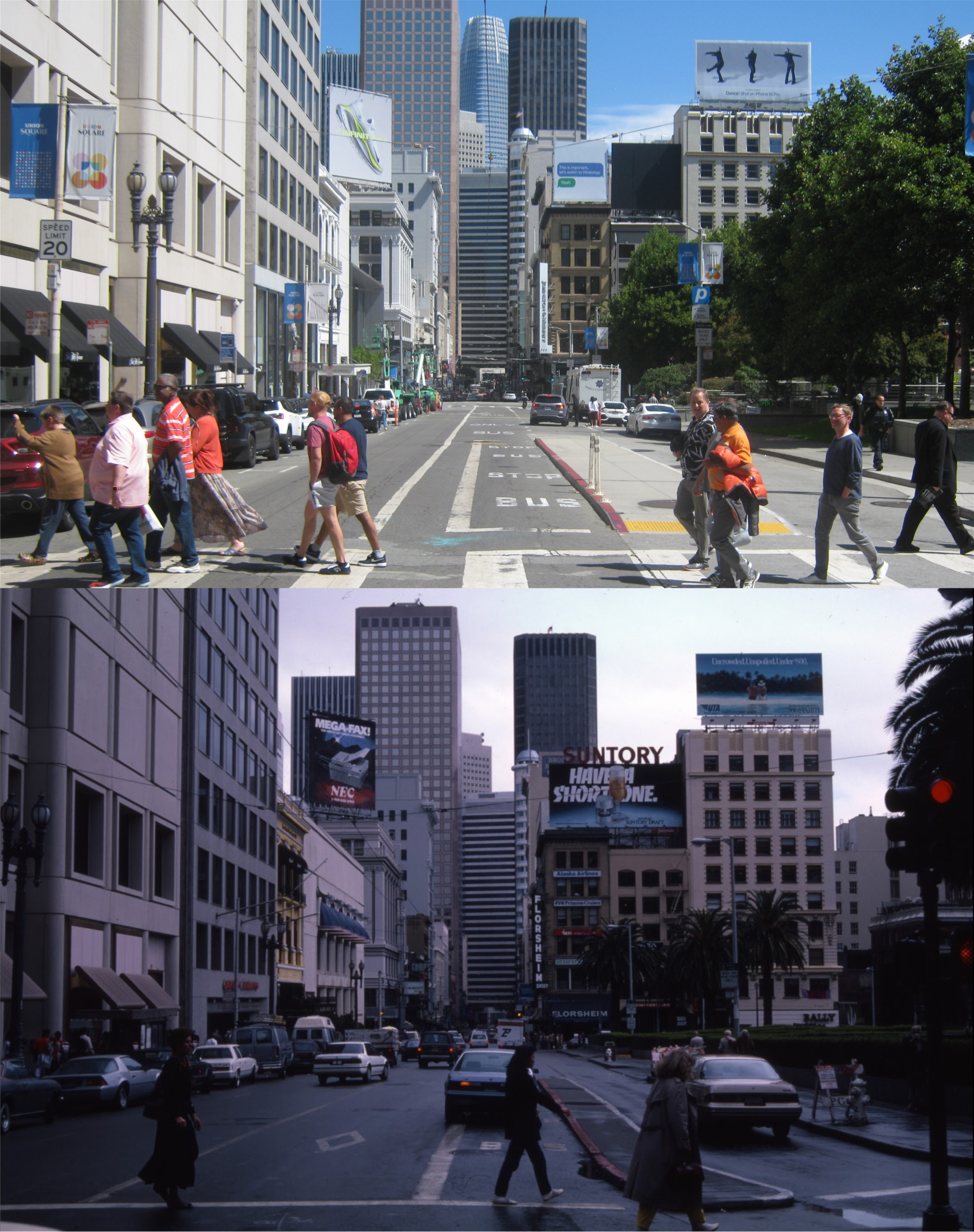
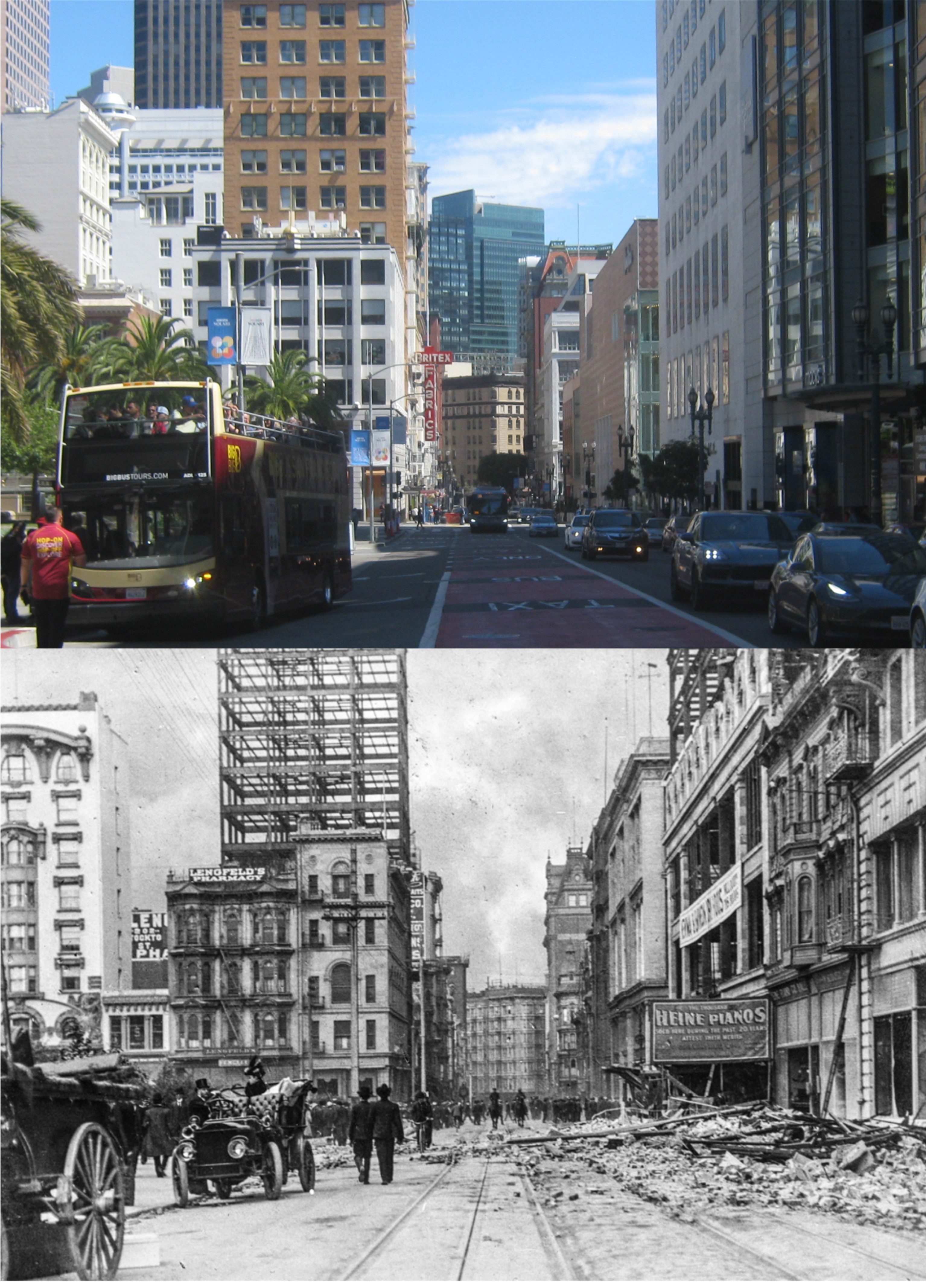
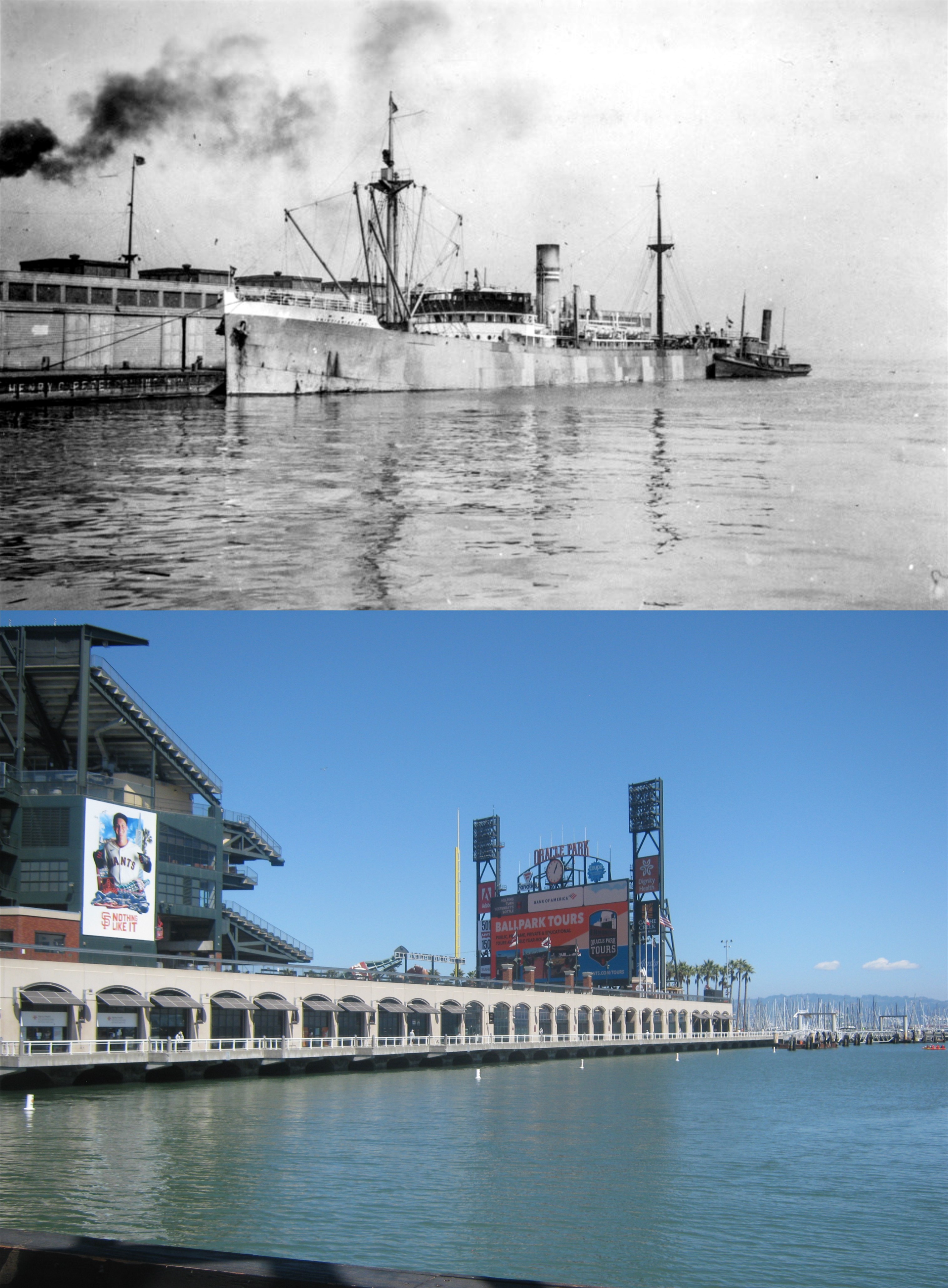
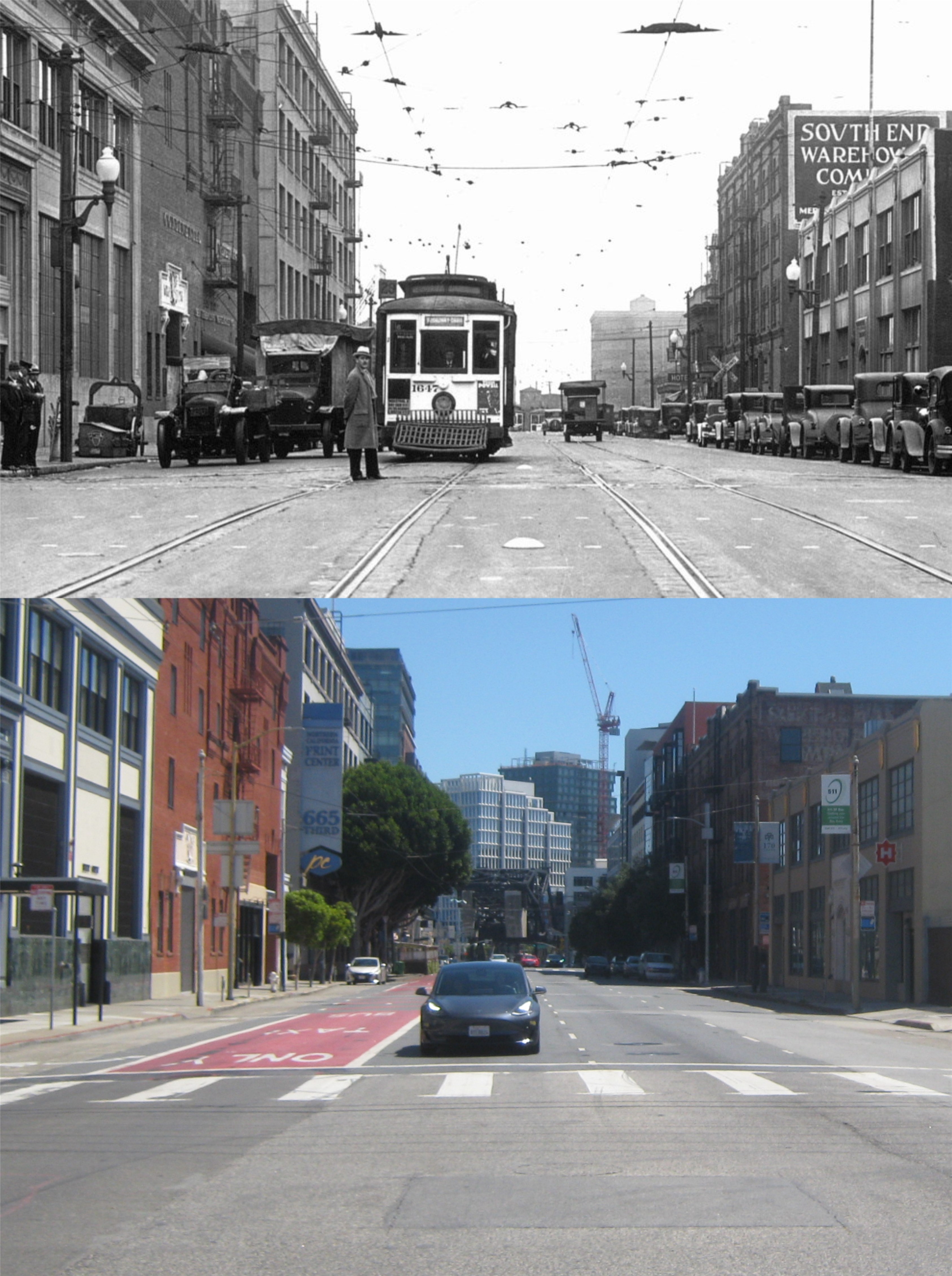
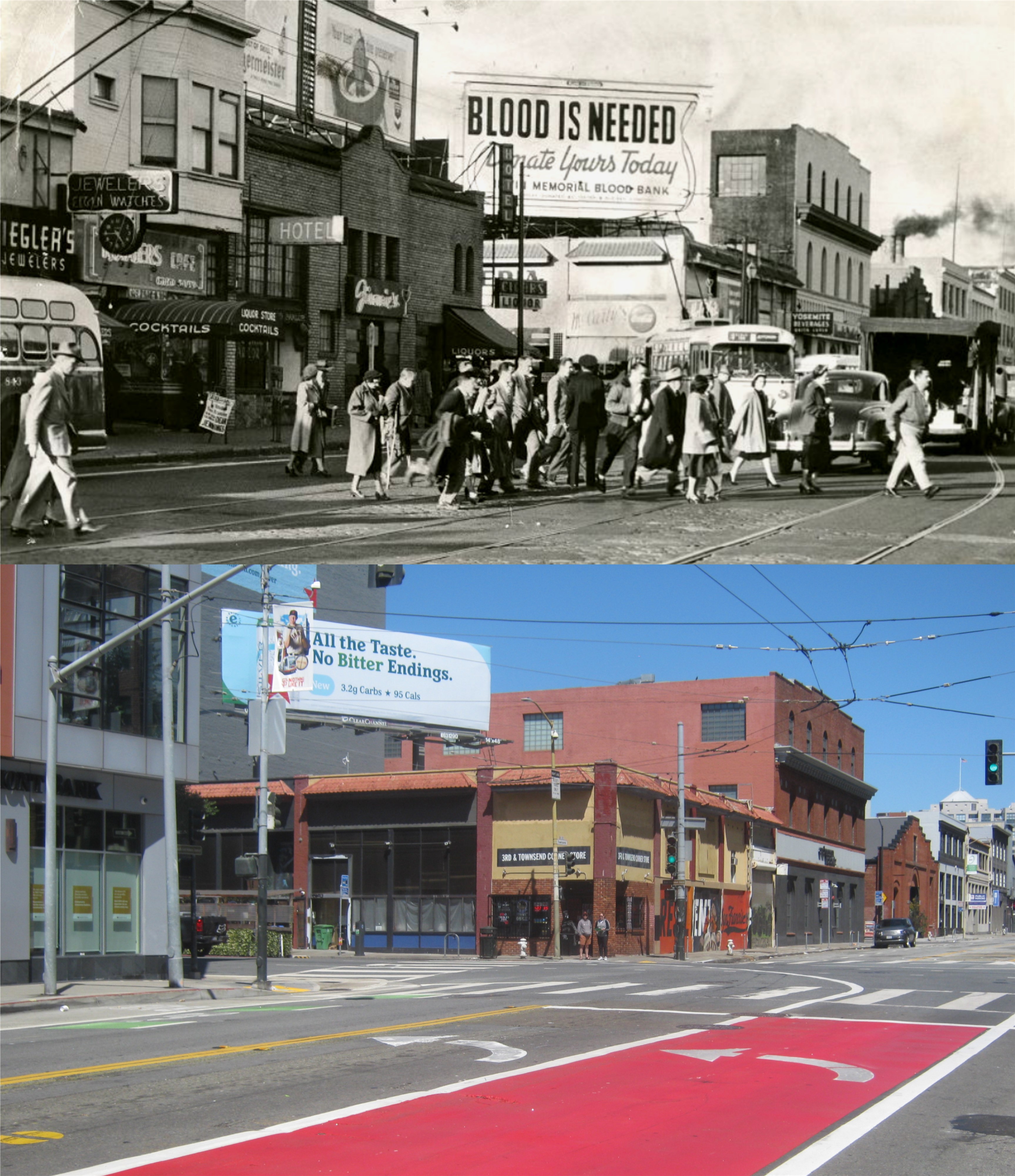
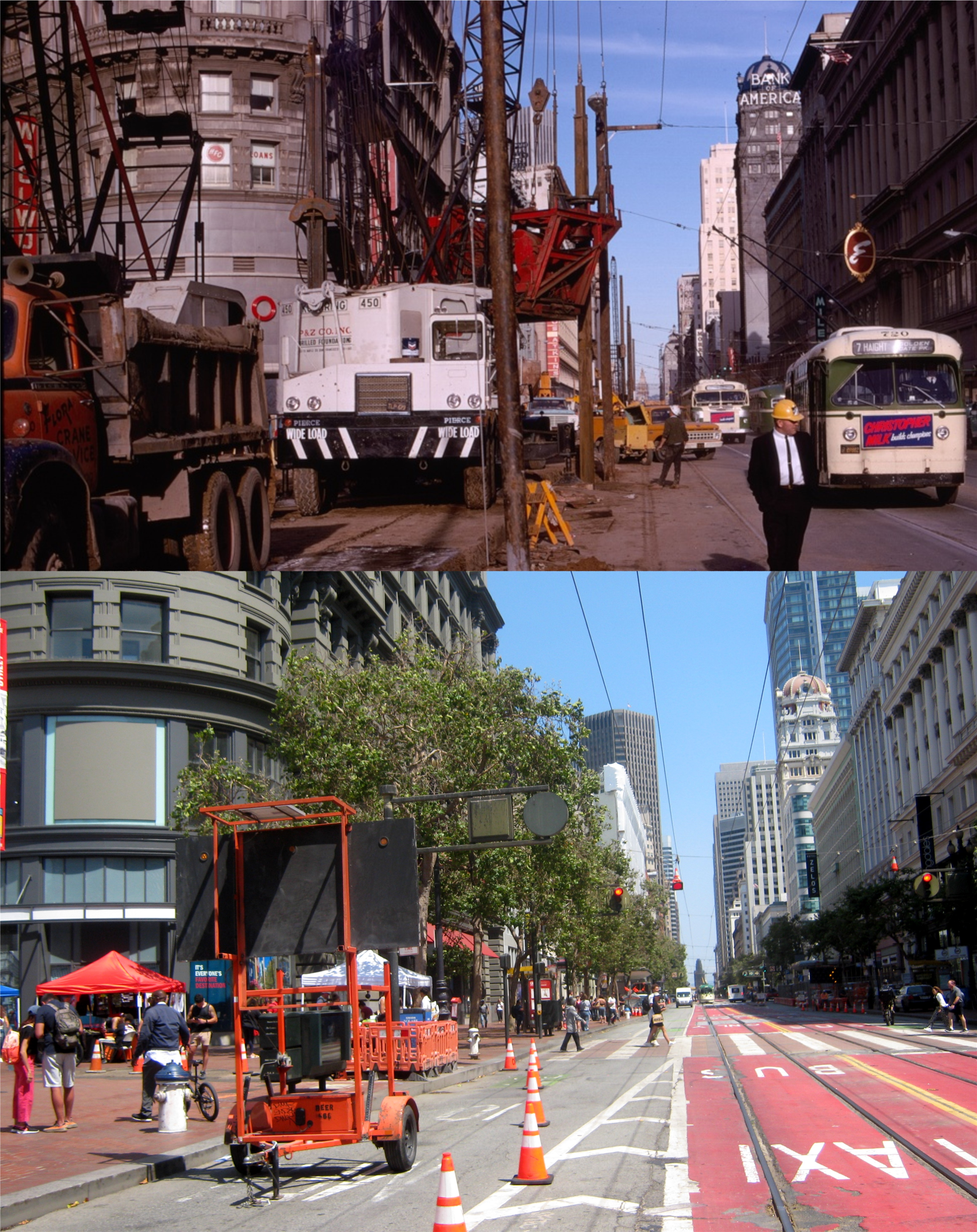
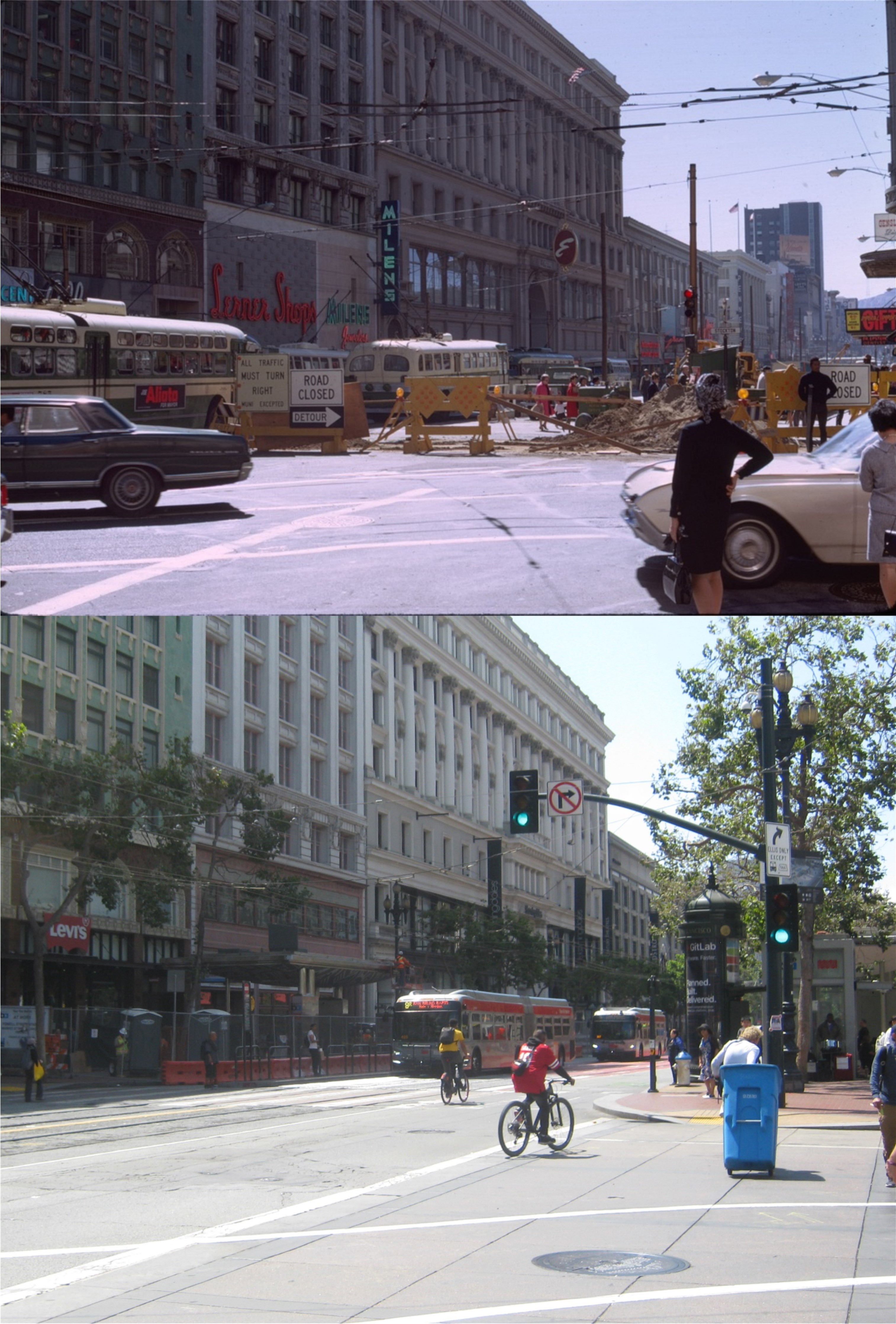
I went to the Union Square area yesterday to see how the turnout would be for “Black Friday”. Also, I wanted to update some of the pictures I took around the area in 2020 during the Covid-19 Pandemic when most of the city was shutdown. Some of my older pictures were taken on Black Friday, 2020, which, like most of San Francisco, was still depressingly quiet. I guess somebody forgot to tell San Francisco, yesterday, that it’s a stagnant, unfriendly, dangerous city that nobody wants to visit anymore; the weather was perfect, and the crowds were back. I remember telling myself early on in the 2020 lockdown, when San Francisco was quiet, empty and lonely, that I wouldn’t mind the crowds in the city again, and I don’t. (Thumbnail images)

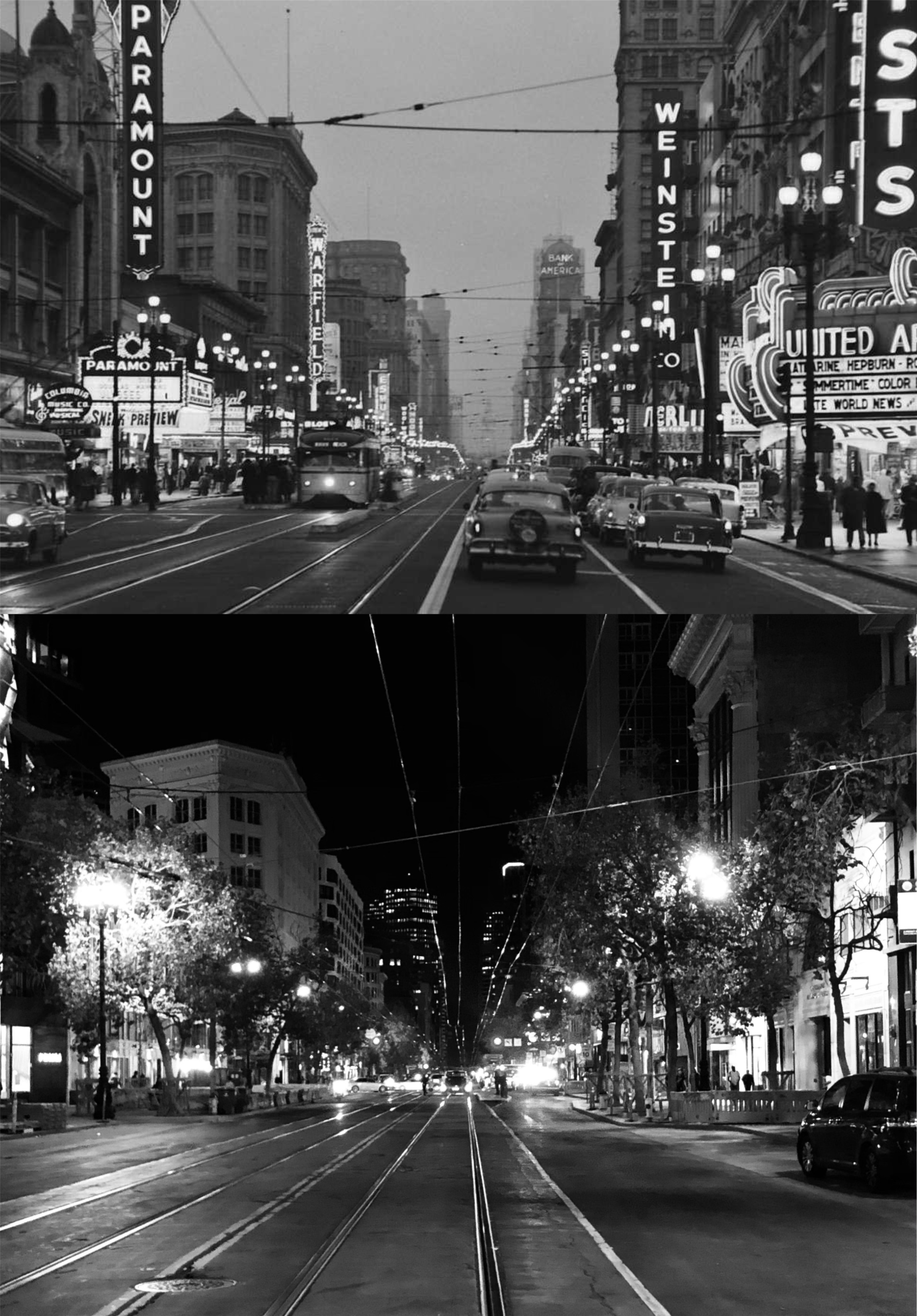
The cable car turnaround at Market and Powell Streets in April of 2020 and yesterday:
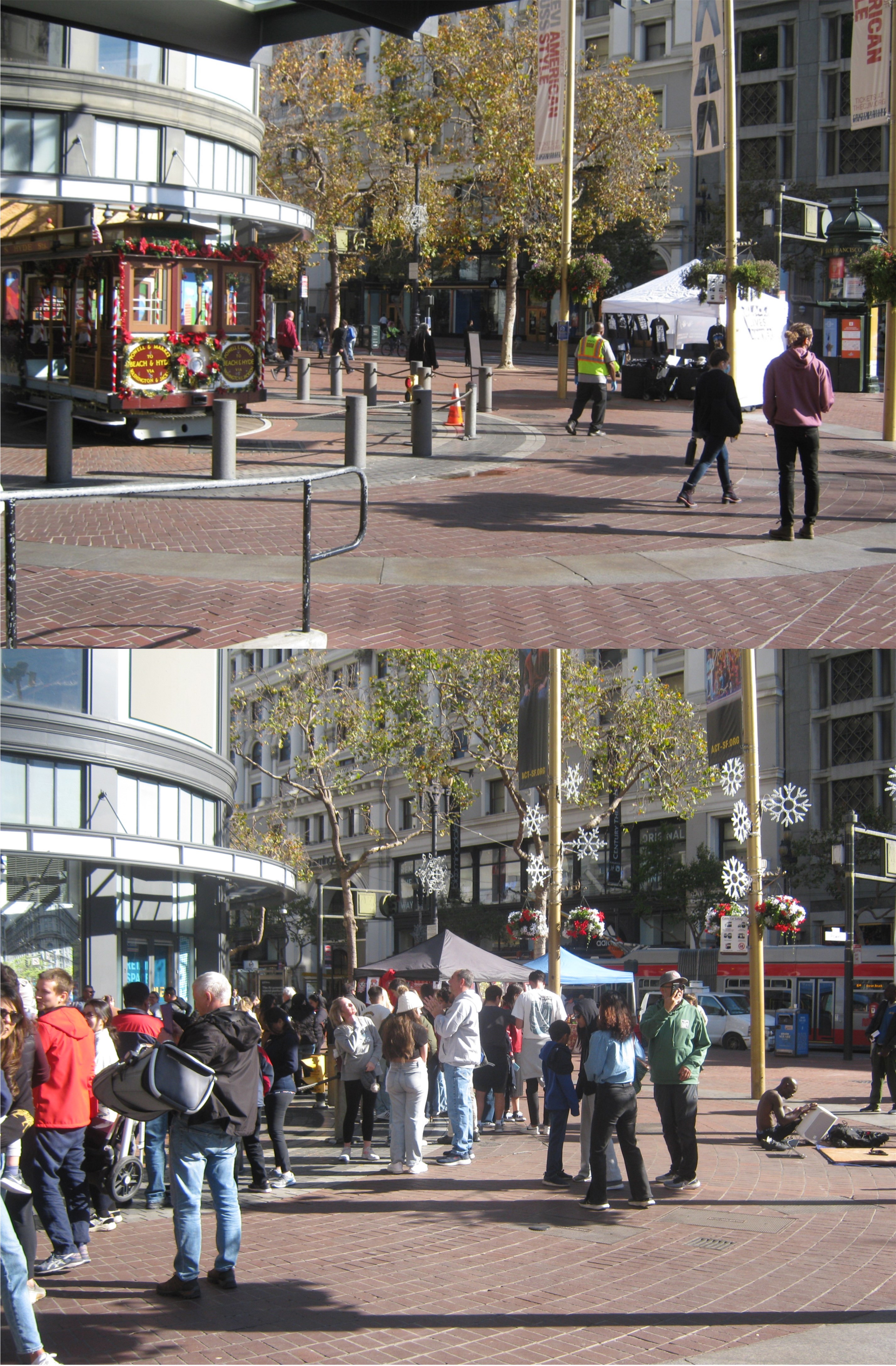
The top photo was at the cable car turnaround on Black Friday, 2020, Cable cars were not back running yet, but they had a festively decorate one on display for picture taking.

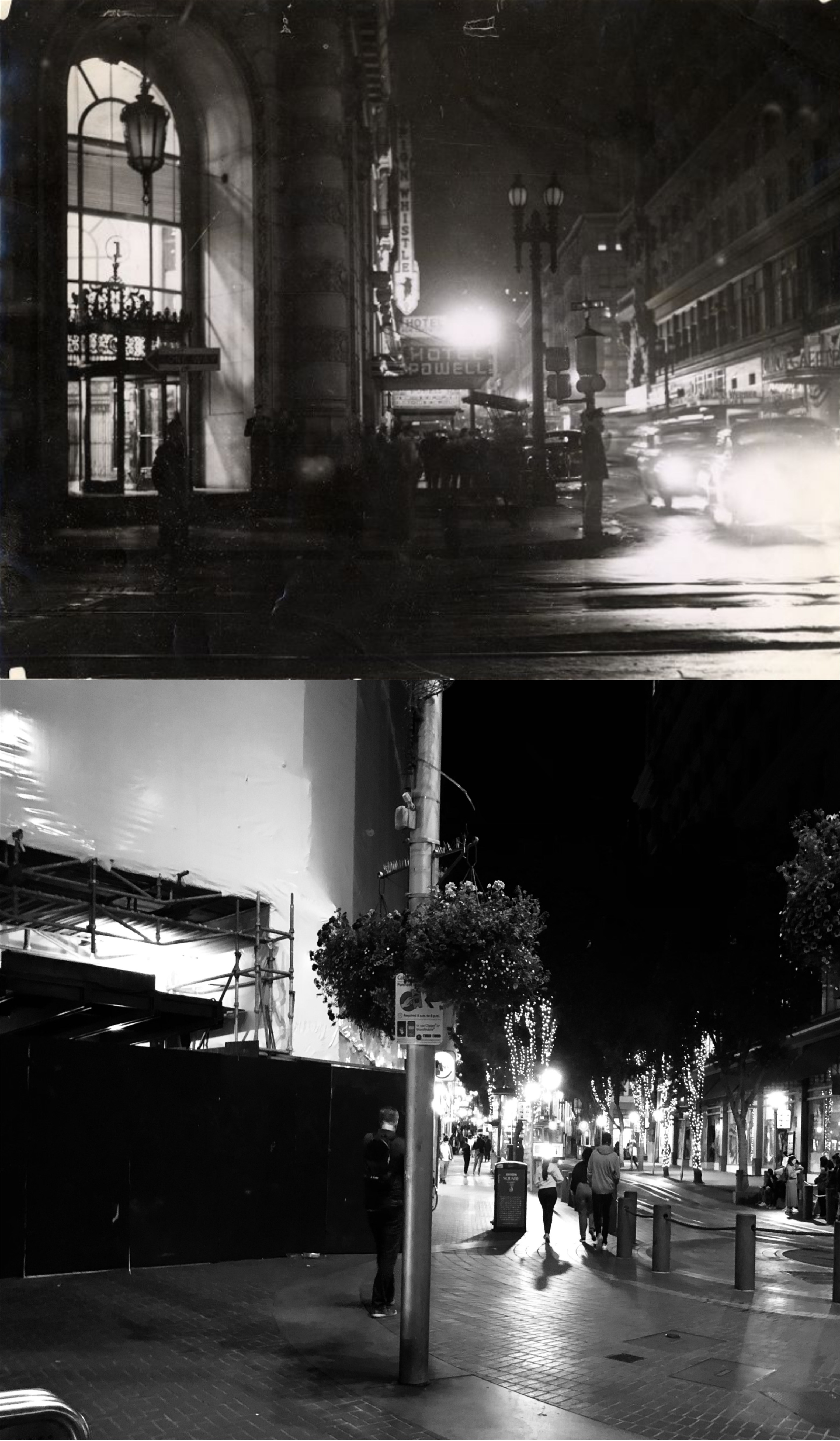
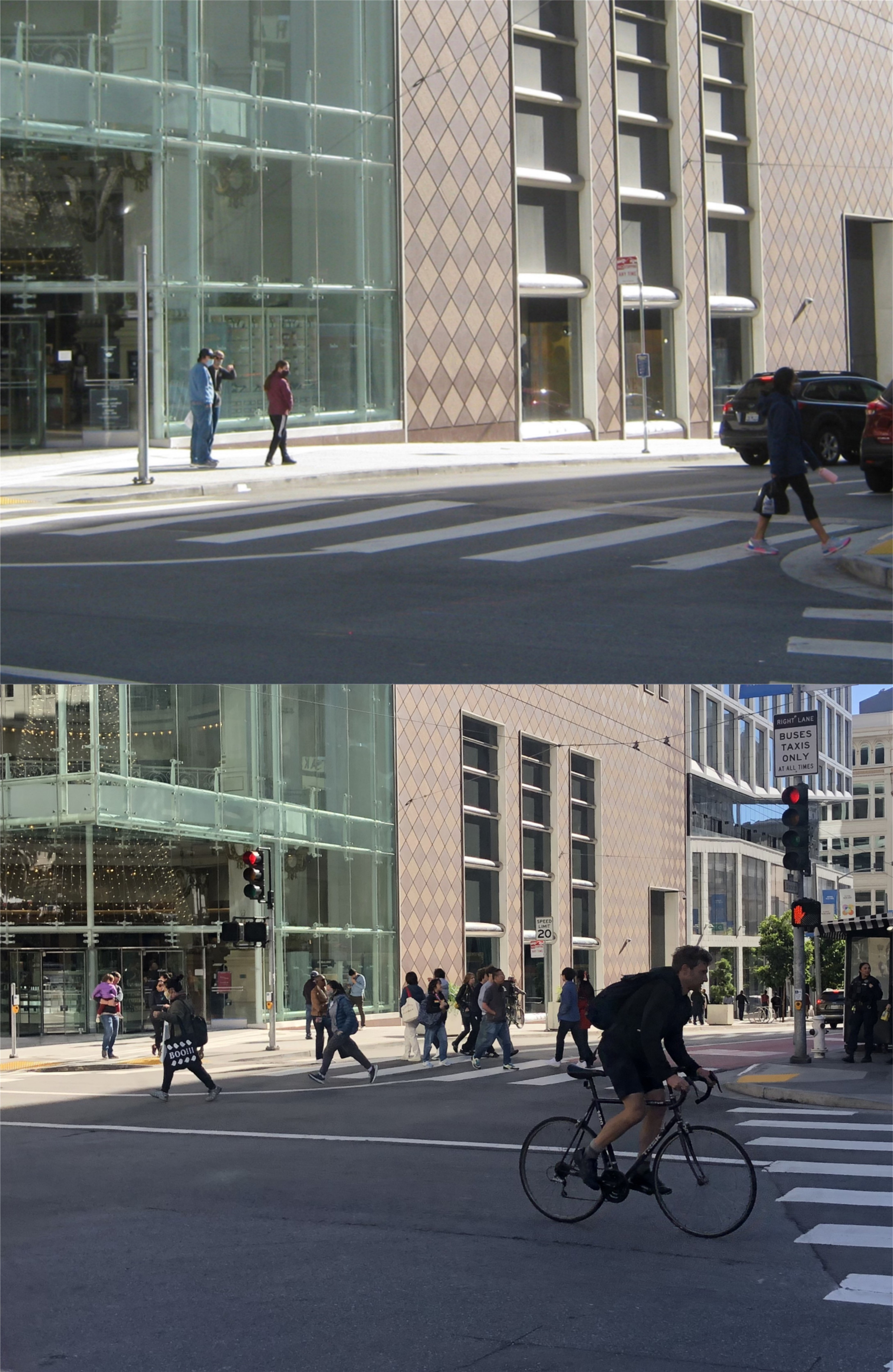
People heading up to Union Square on at Powell and O’Farrell Streets yesterday, and nobody heading up to Union Square on Black Friday, 2020:
Stockton Street at O’Farrell: The kittens and puppies in the Macy’s window display on the left were back yesterday.

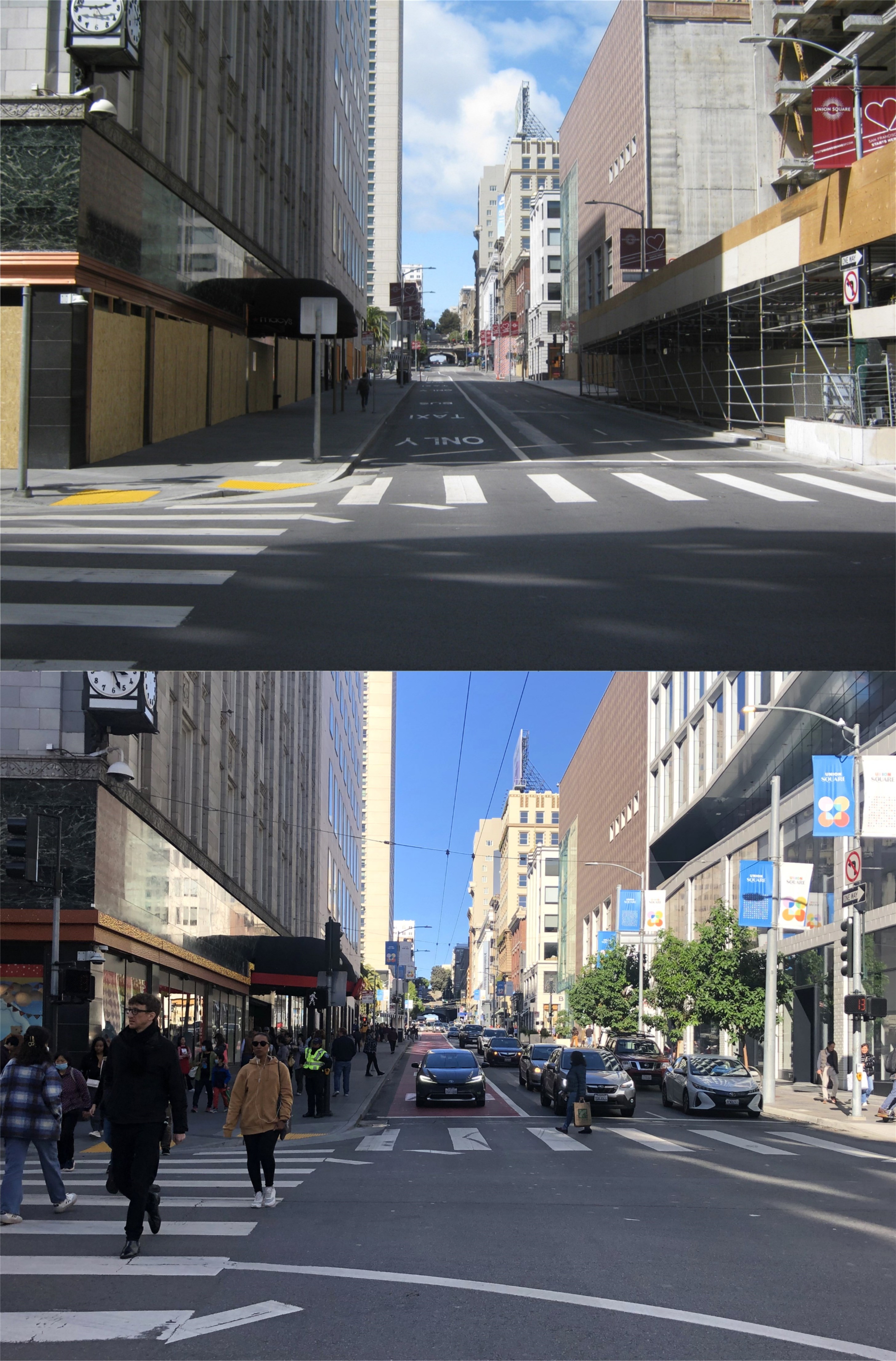
Union Square: You don’t get a chance to see it this empty often.
Four masked people at Neiman Marcus near Stockton and Geary Streets: That was about as big as the crowd got on Black Friday, 2020. Still some masks now.
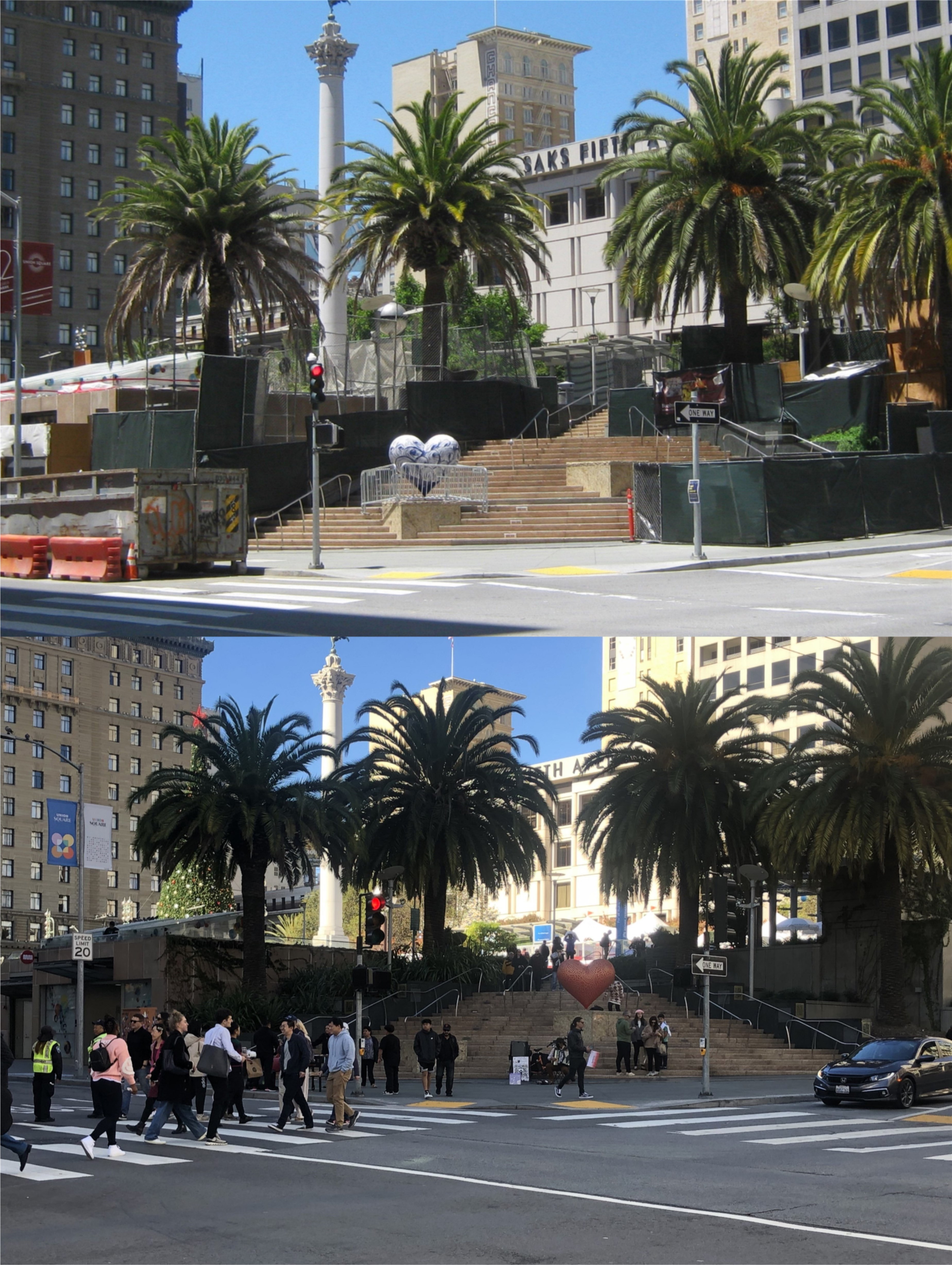
Another shot of Union Square, sans visitors. Work on the Central Subway Station entrance on the corner, which opened in November of 2022, was also temporarily halted.

Not as crowded around Westfield Centre now that it’s closing, but better than 2020.

The southwest corner of Union Square at Powell and Geary Streets: