
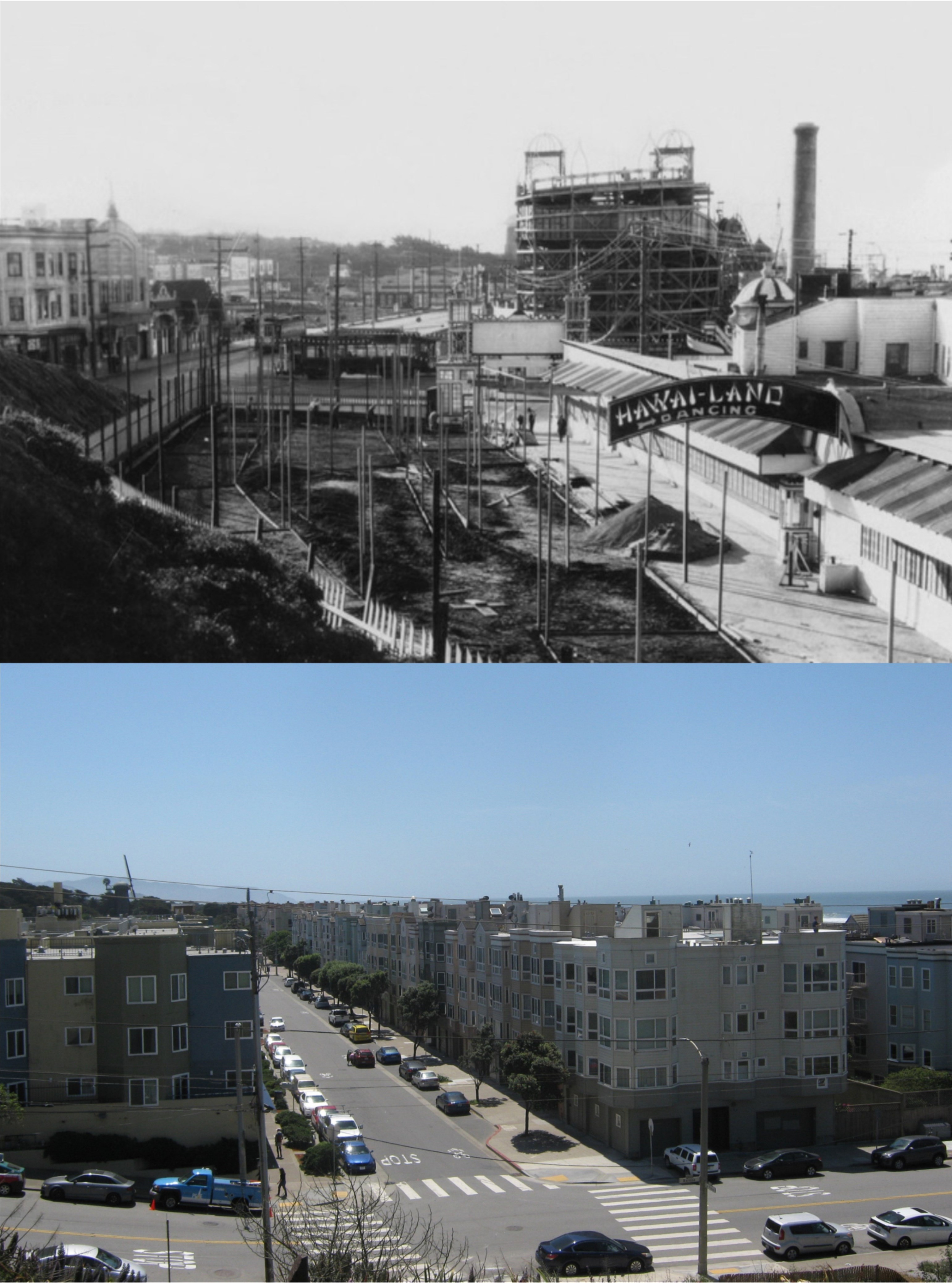
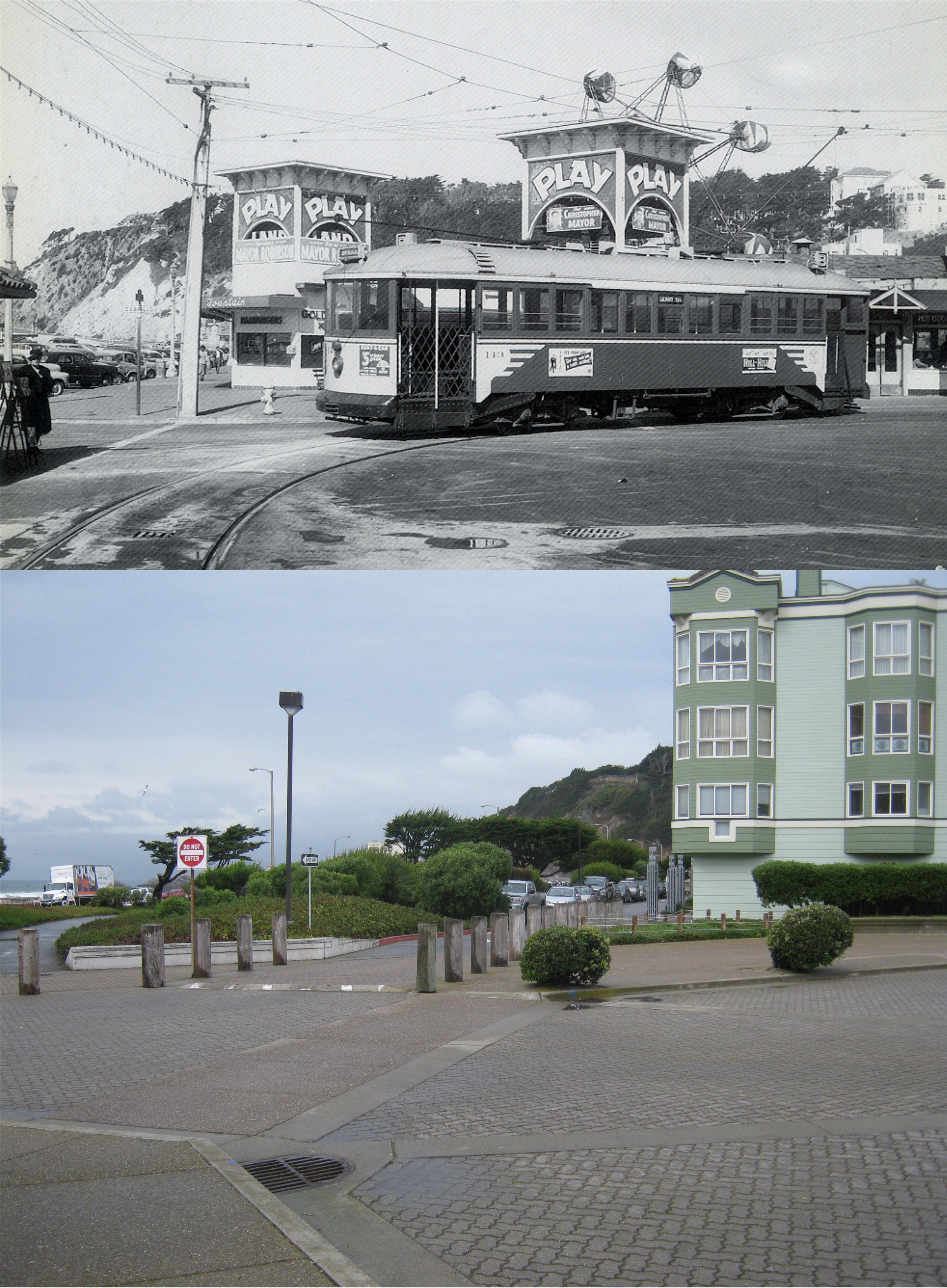
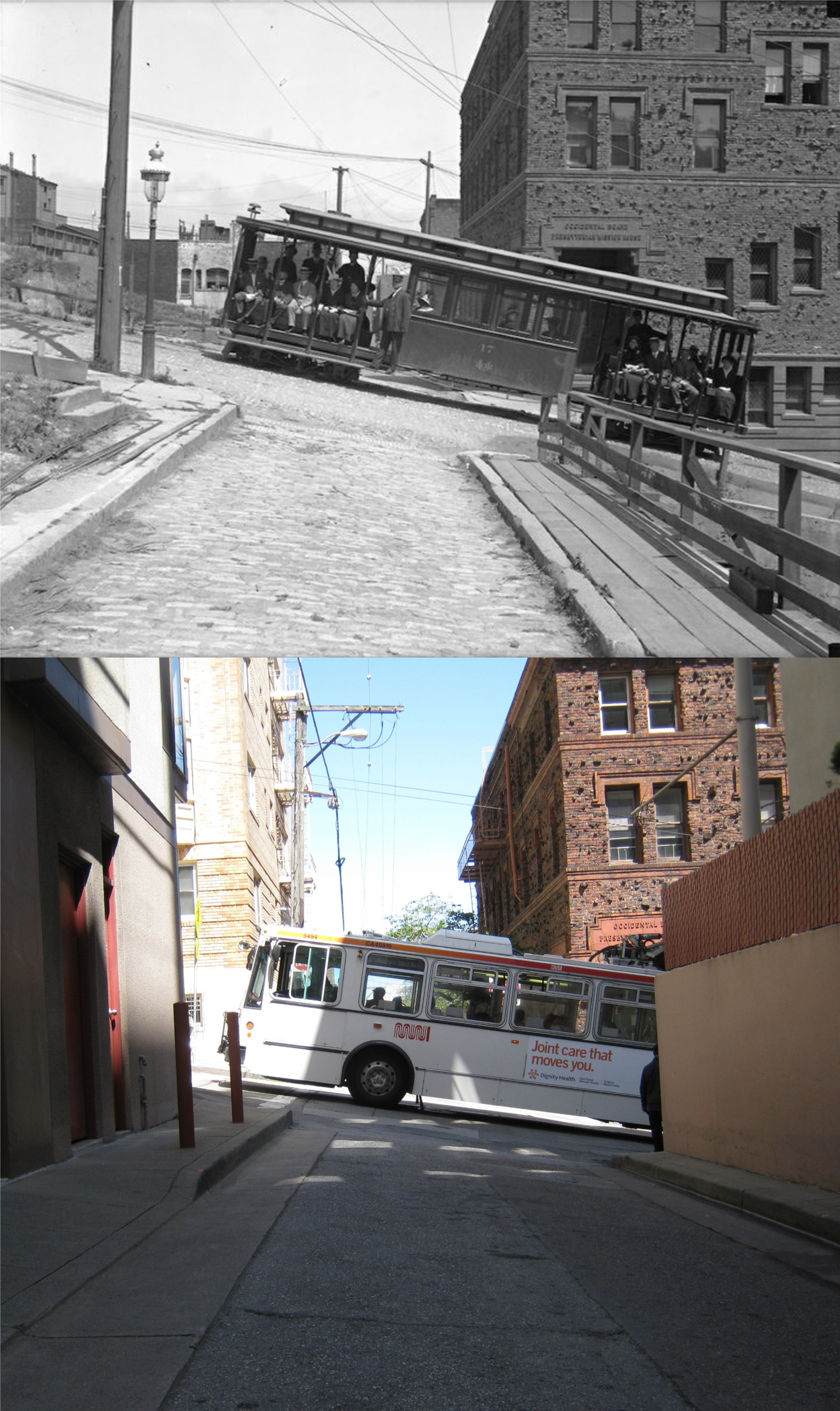
Just for no reason, I felt like redoing some of the older photos I posted on my website. As to the results of the updated updates, some were an improvement, some might have been better left alone, but all of them were fun to revisit. Most of the vintage pictures I originally posted back when I was careless in not naming the source of many of the old pictures; my apologies for not being able to list many of them. (Thumbnail images)

Where the California Street Cable Car Line comes into Market Street in the 1940s and now: This was as close to a line up as I could get. The Southern Pacific Building is on the right in both pictures. Back in August of 2015, when I did my first update of the old photo, the numbers 15 were on the Ferry Building commemorating the one hundred year anniversary of the 1915 Panama Pacific Exposition.

Union Square after the 1906 Earthquake: I got a better line up with the Dewey Monument than when I originally did an update of the vintage photo in January of 2016, although I had to cut out half of the Union Square 2024 Christmas tree, which is a shame because it’s such a nice tree.

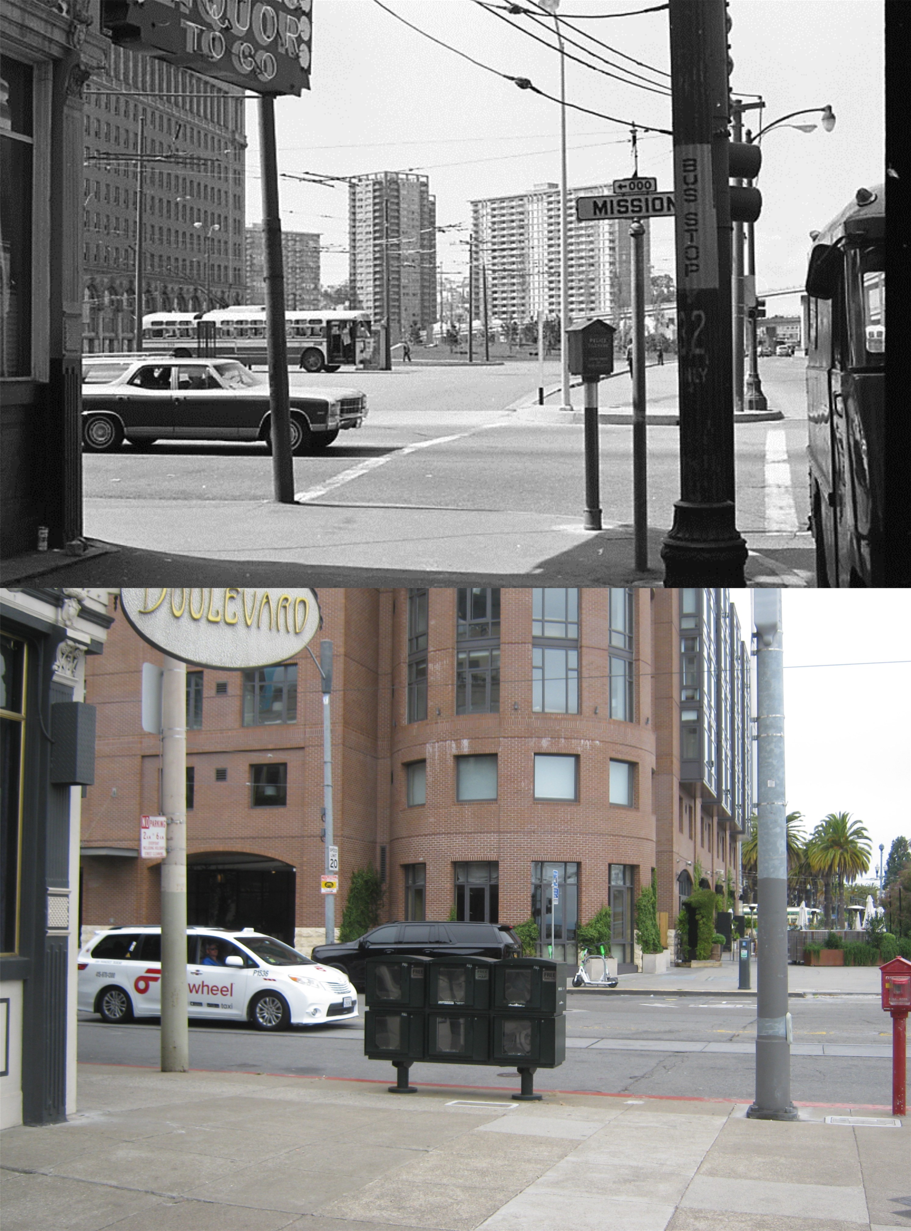
I think it’s cool that this location at 17 Street and South Van Ness hasn’t changed much at all since the 1940s; except for the gas prices.

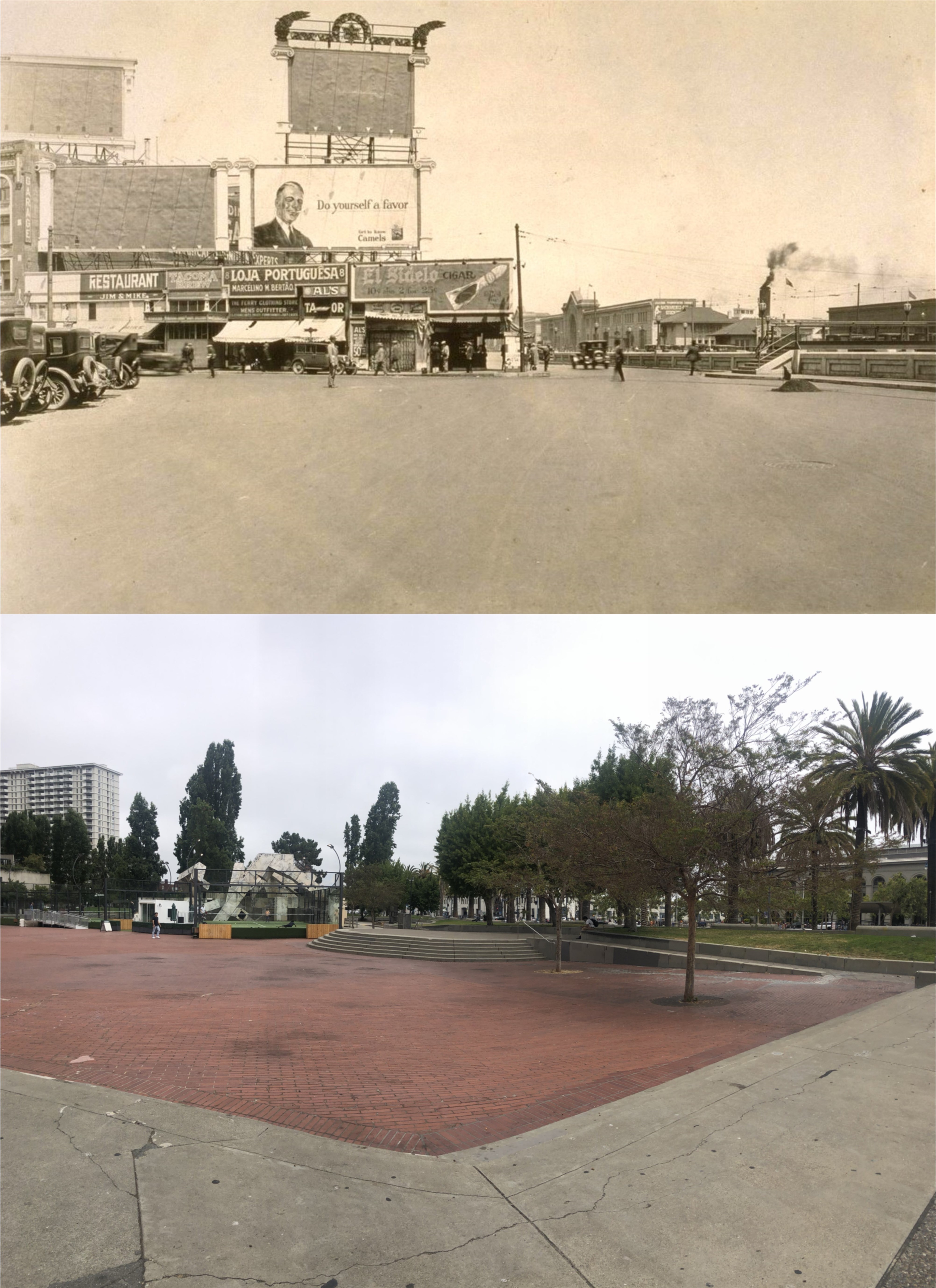
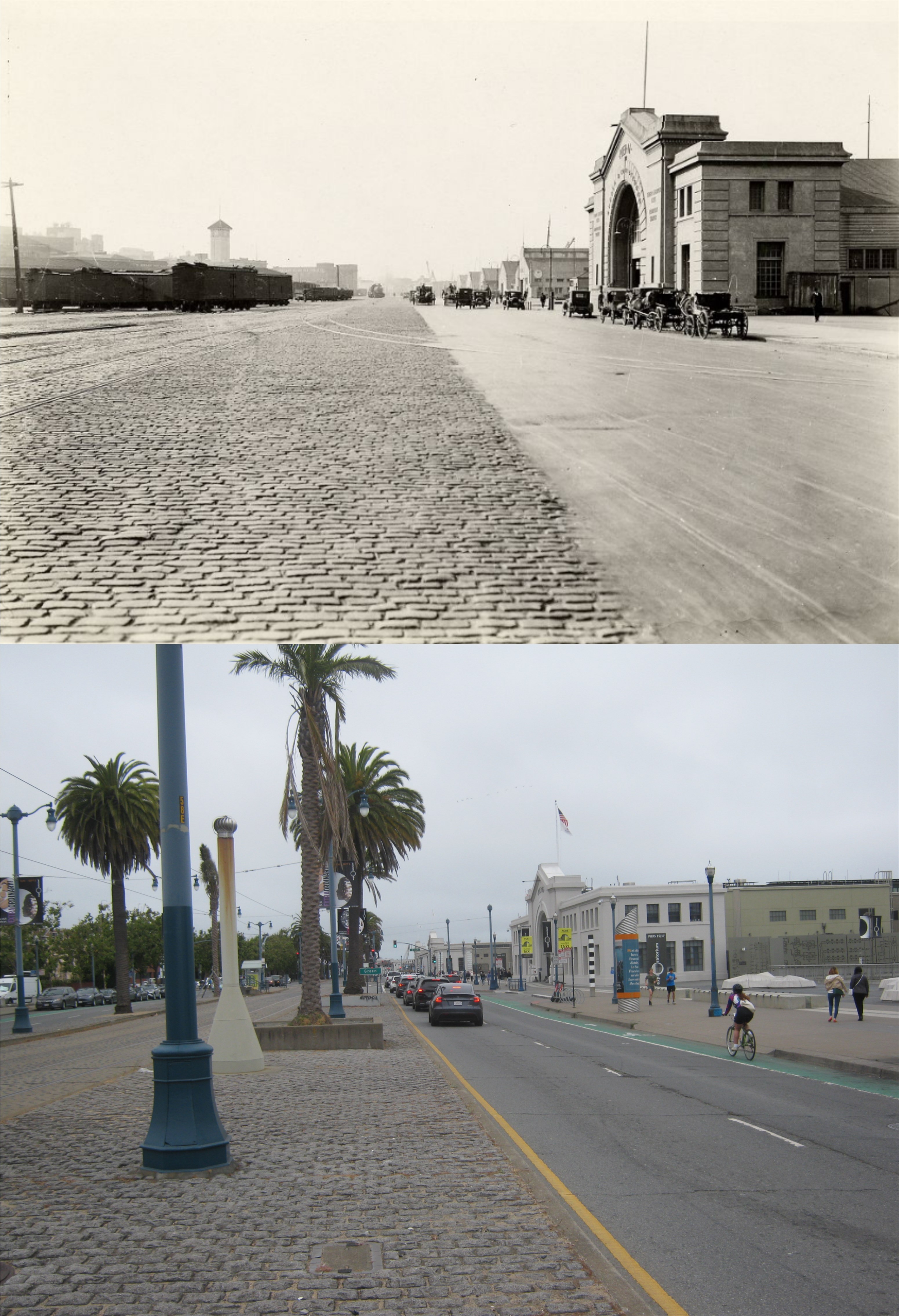
A rainy day on the Embarcadero during the 1950s: Pier 7 is gone now, and was where the portable bathroom is now. You can see a part of the northern most portion of the Embarcadero Freeway on the right of the vintage picture.

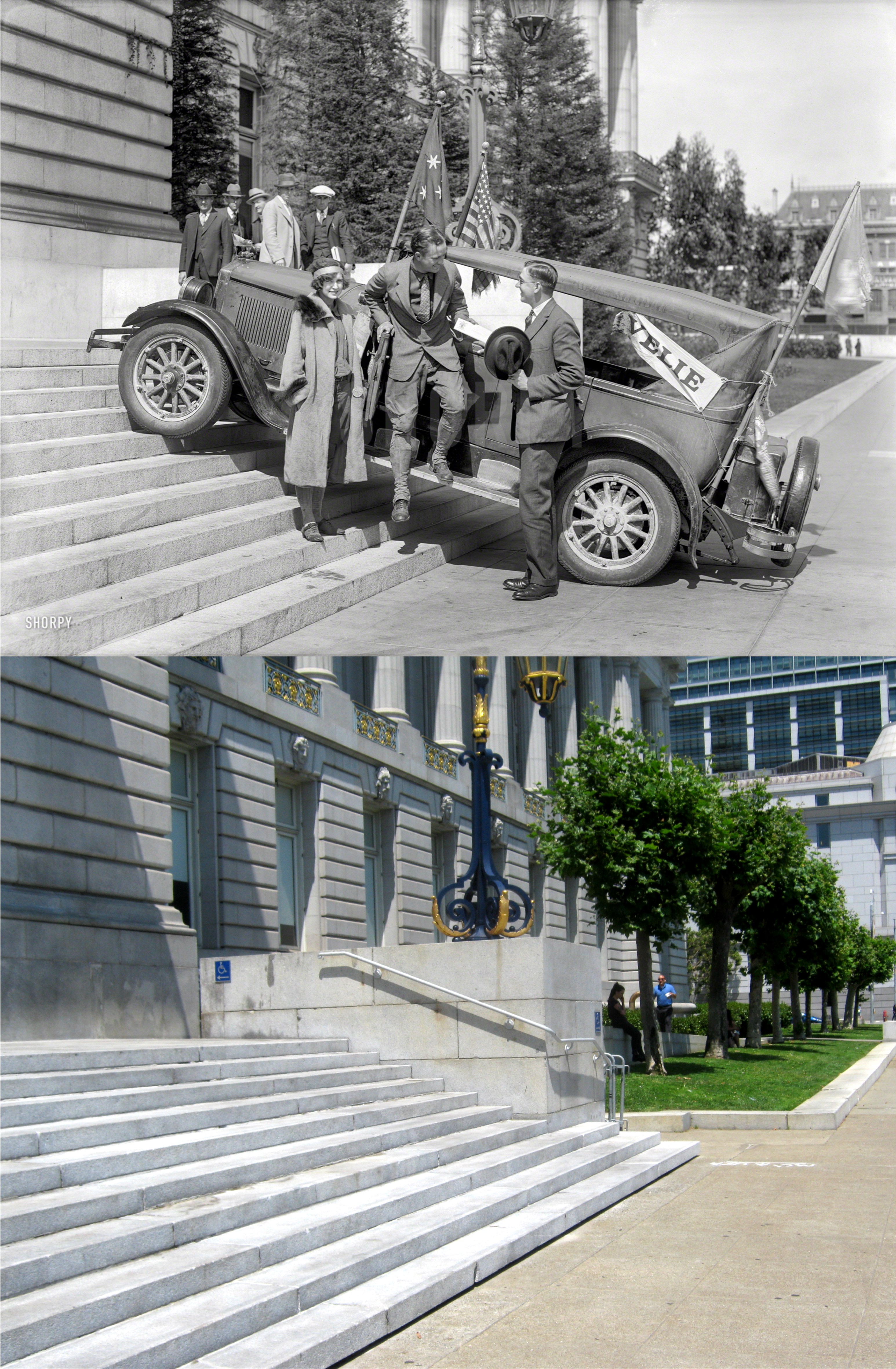
A Life Magazine picture at Civic Center during World War Two: They were walking about where the San Francisco Library Building is now; I’m standing at the entrance to the library. The Empire Hotel Building is in the right background of both pictures. I first did an update of this Life photo on Halloween of 2014, as San Francisco was getting ready for a parade to celebrate the San Francisco Giants third World Series Championship.
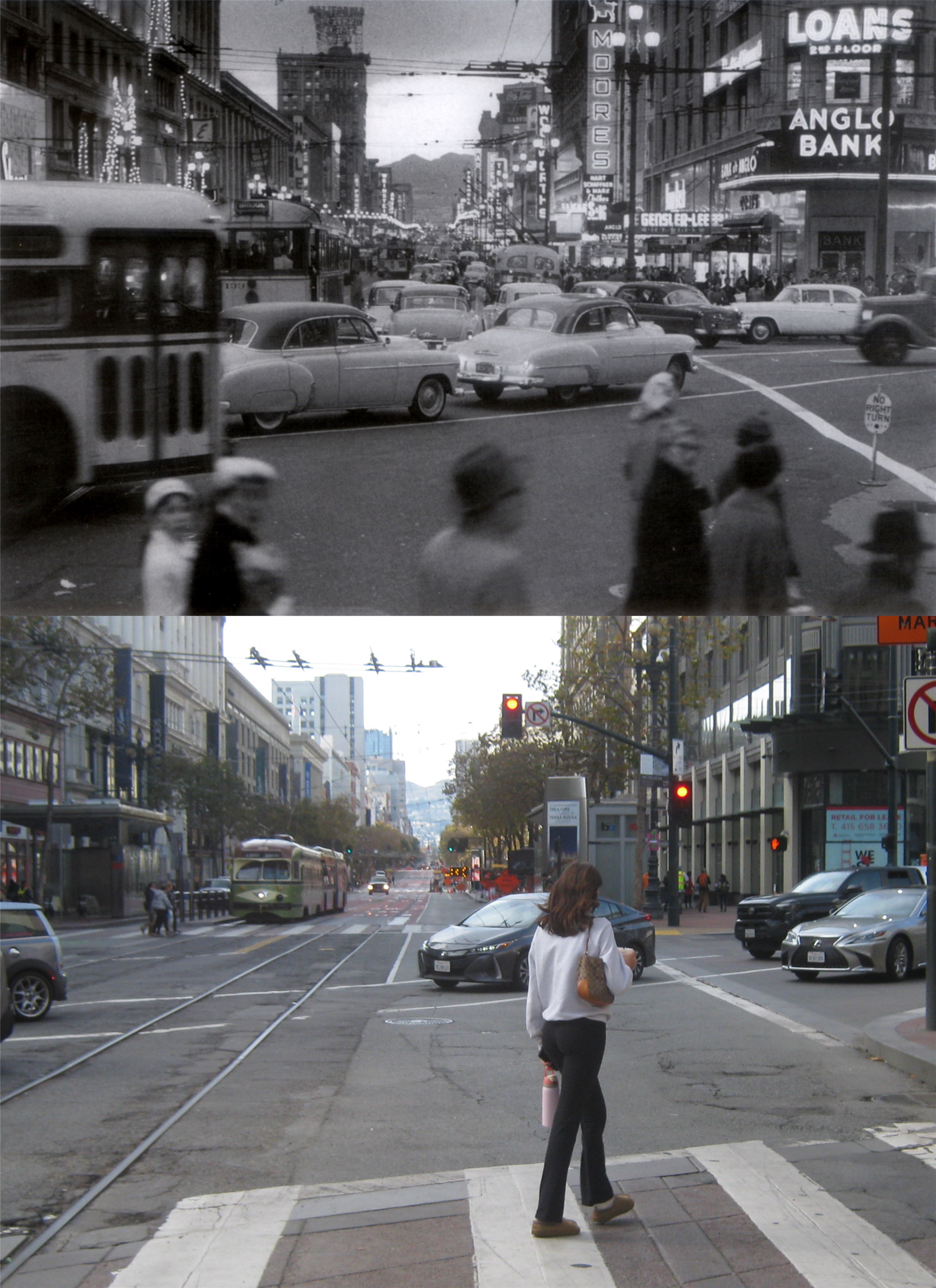
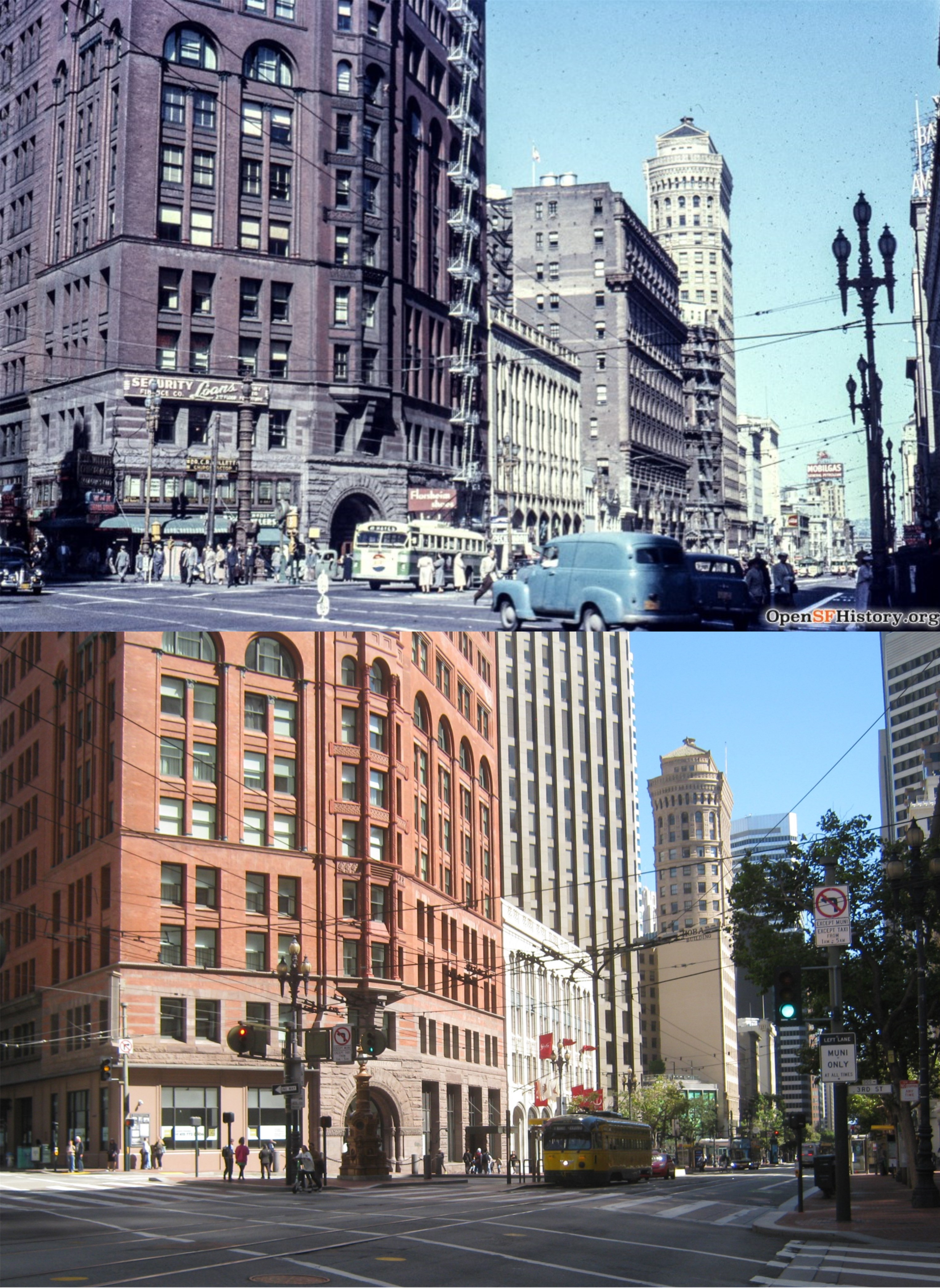
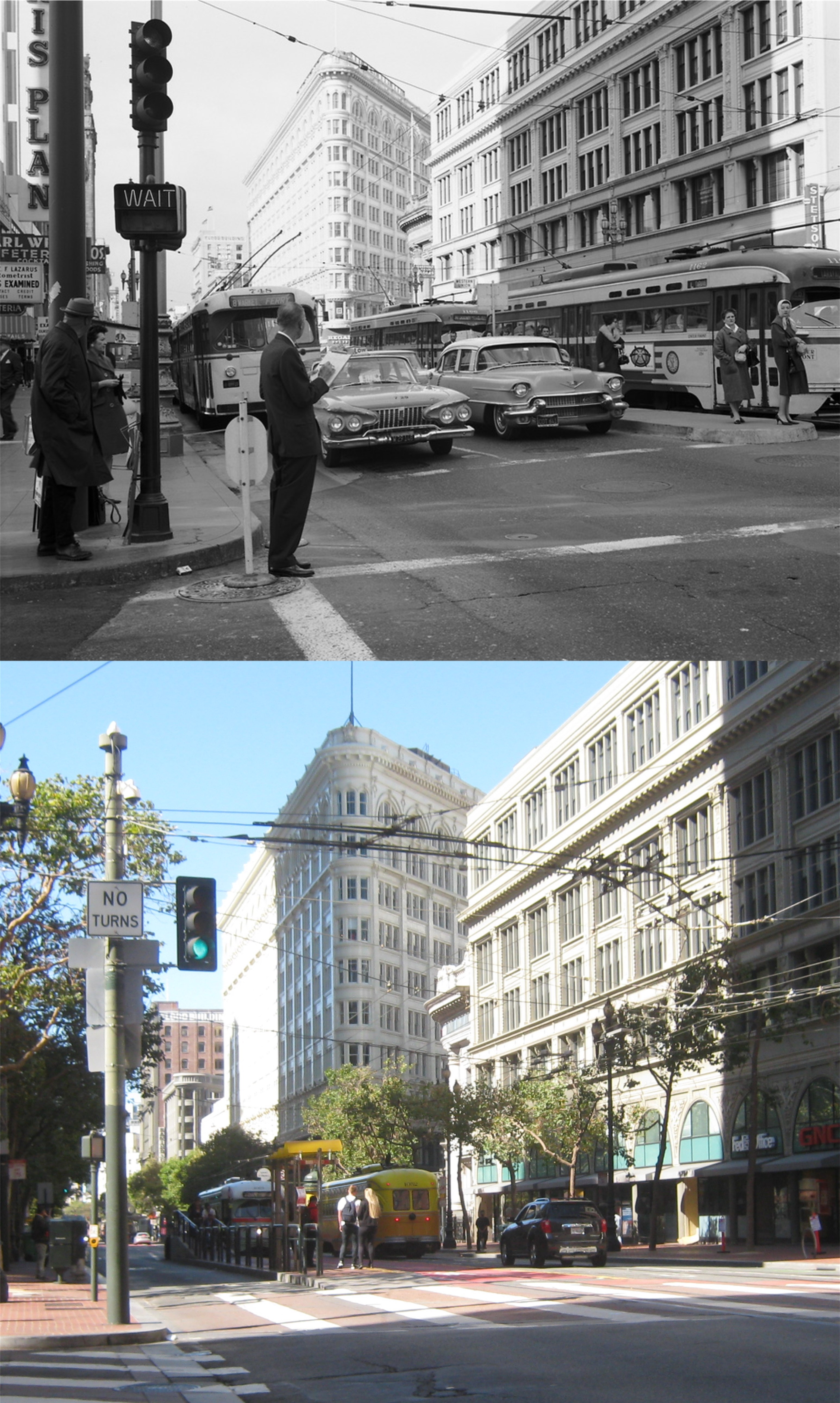
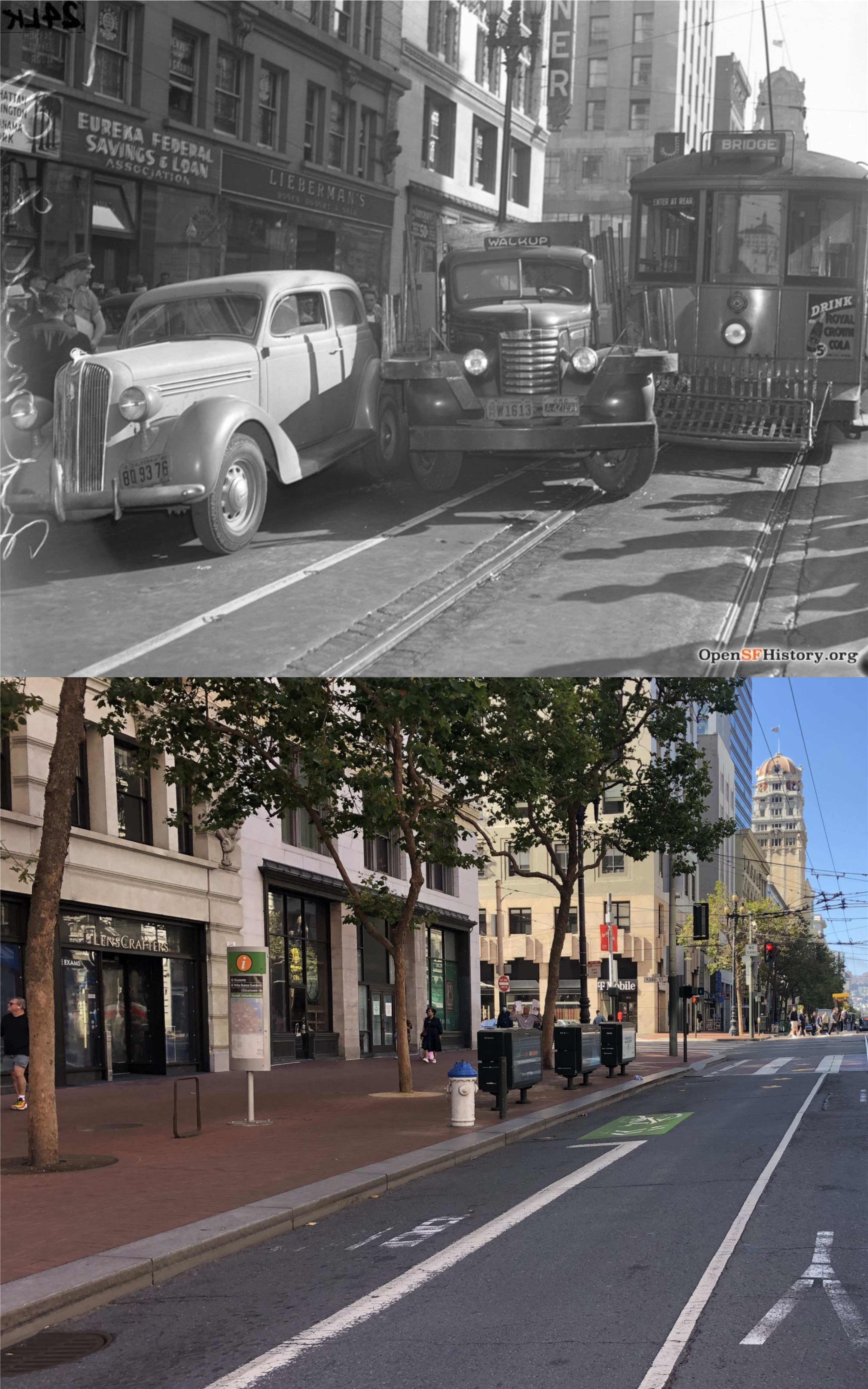
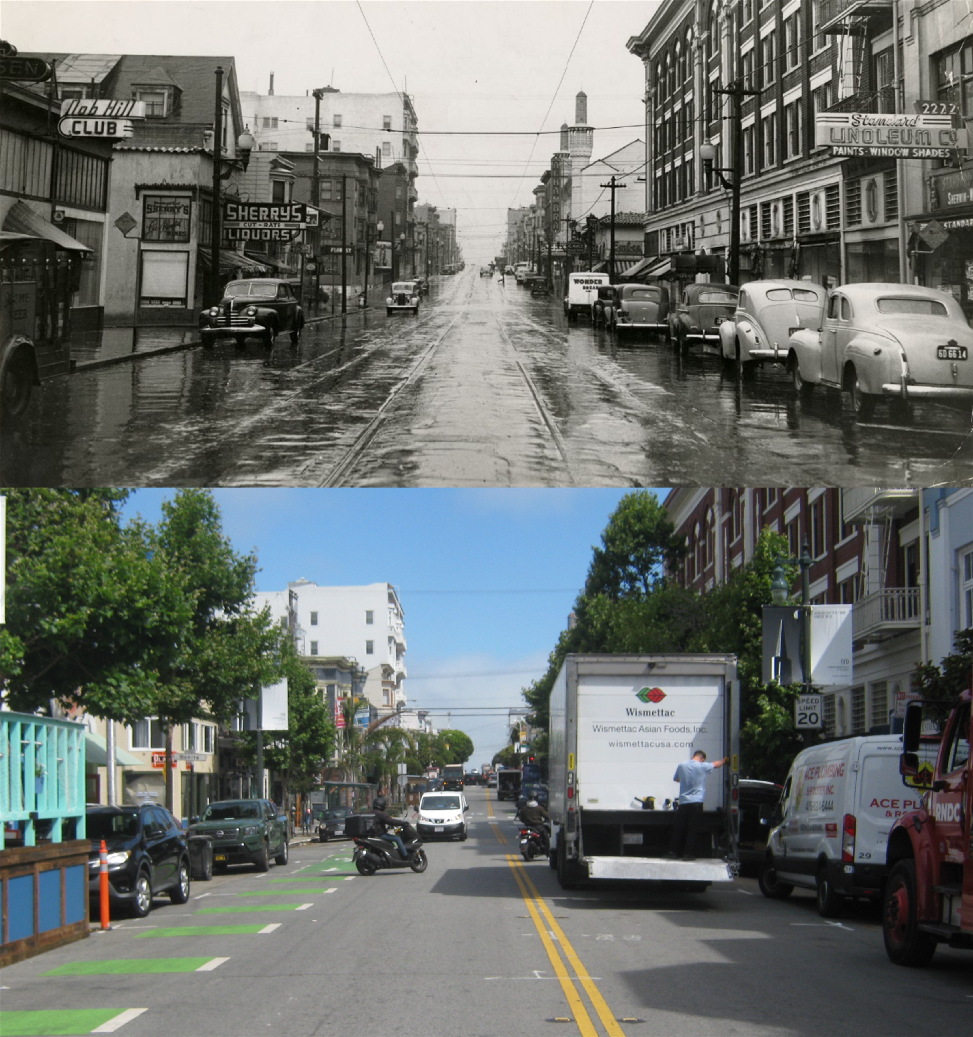
Traffic crossing Market Street from 4th Street to Stockton in the 1950s: Traffic runs only north to south from Stockton to 4th Street now.
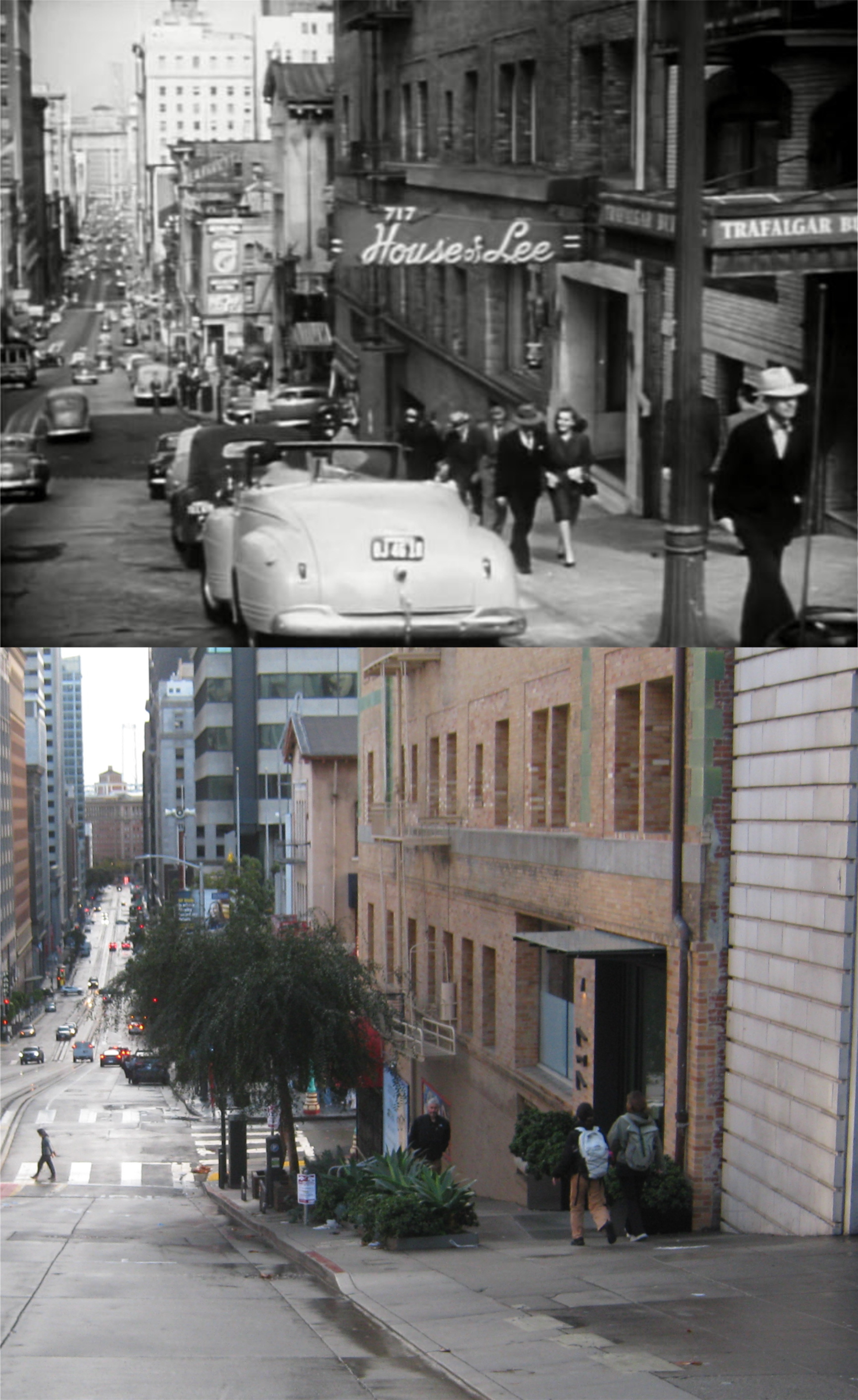
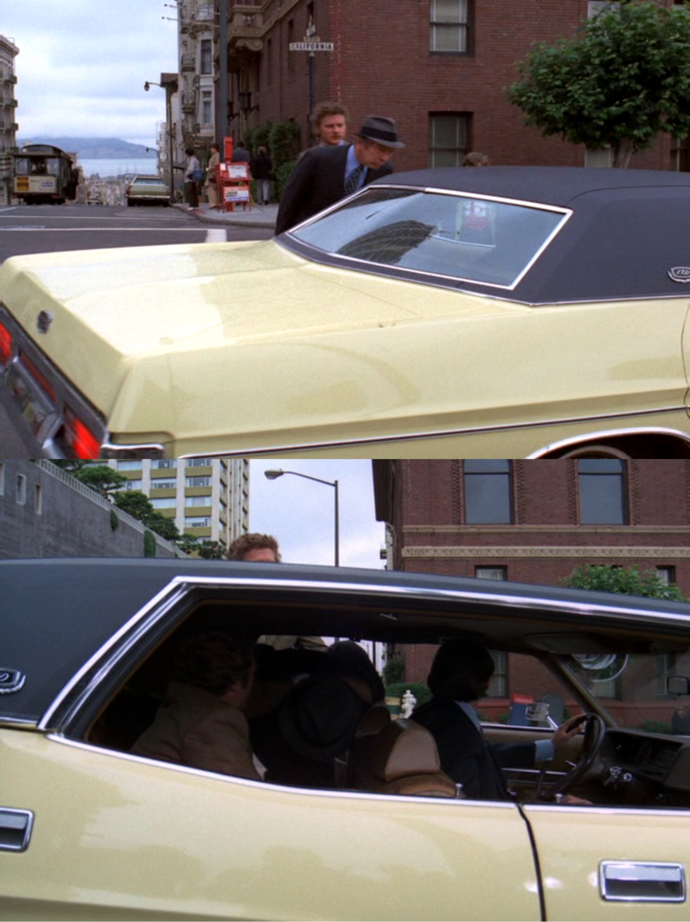
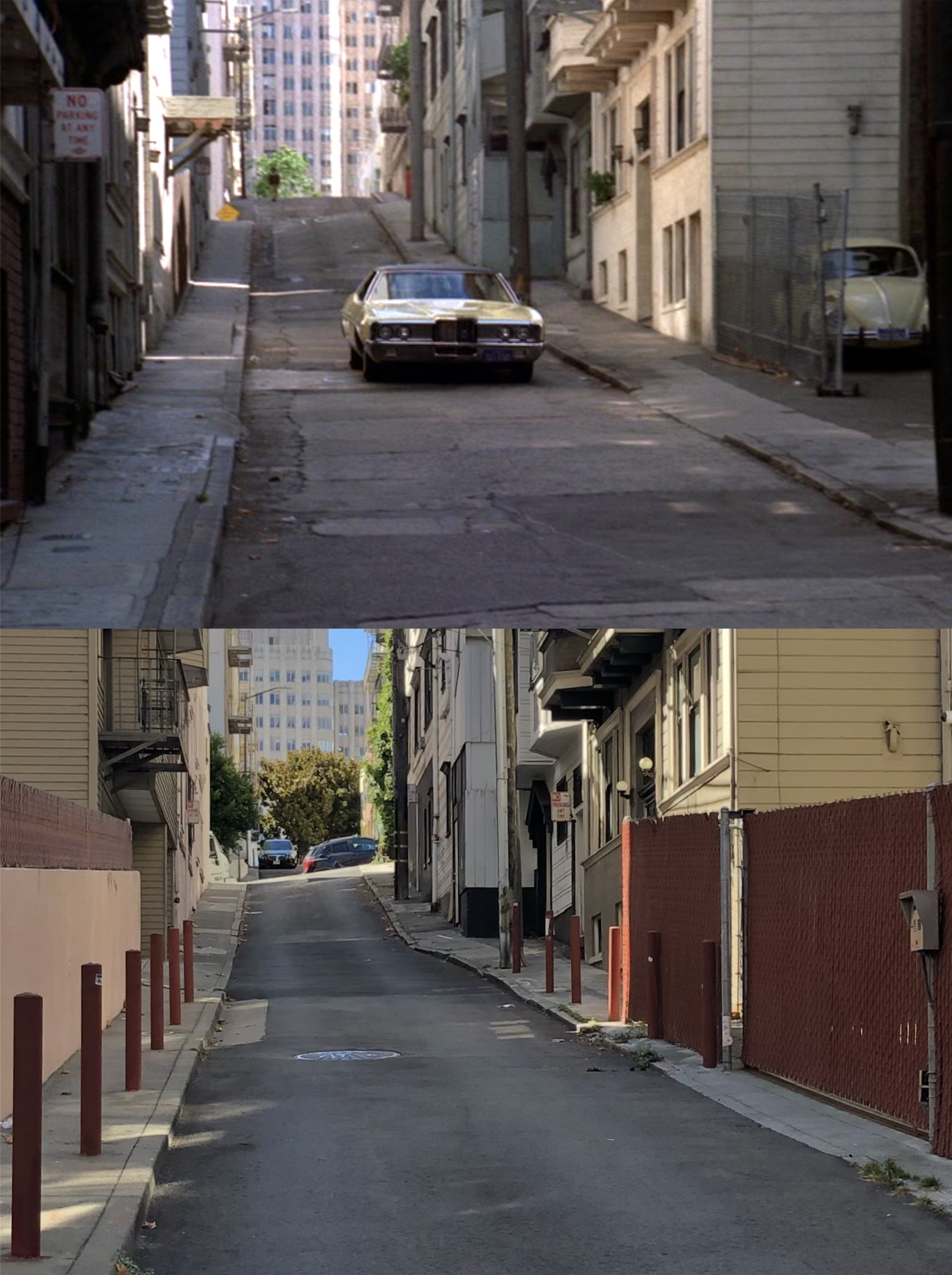
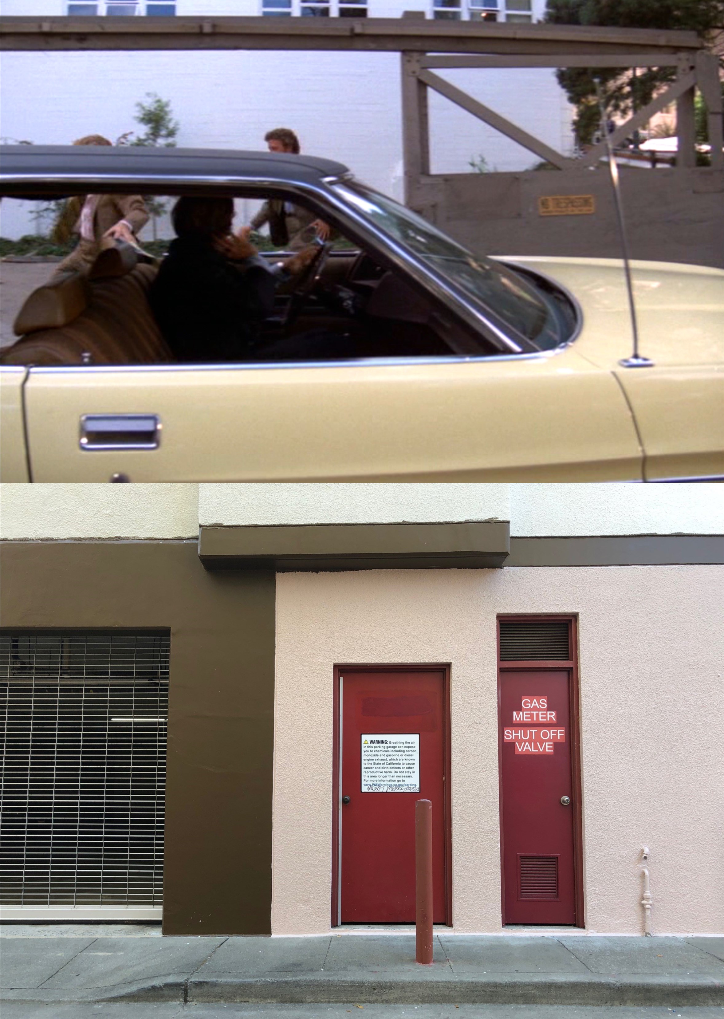
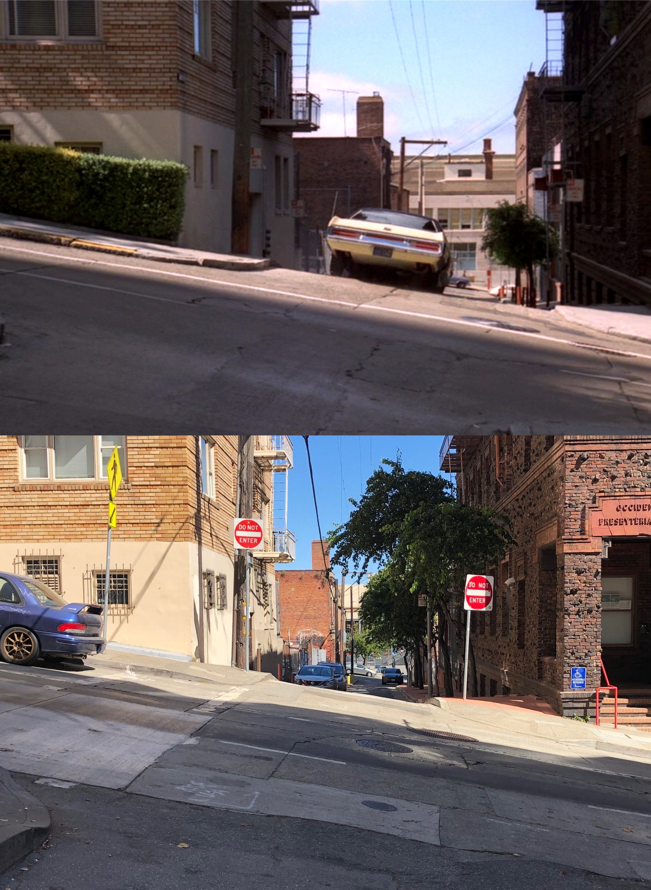
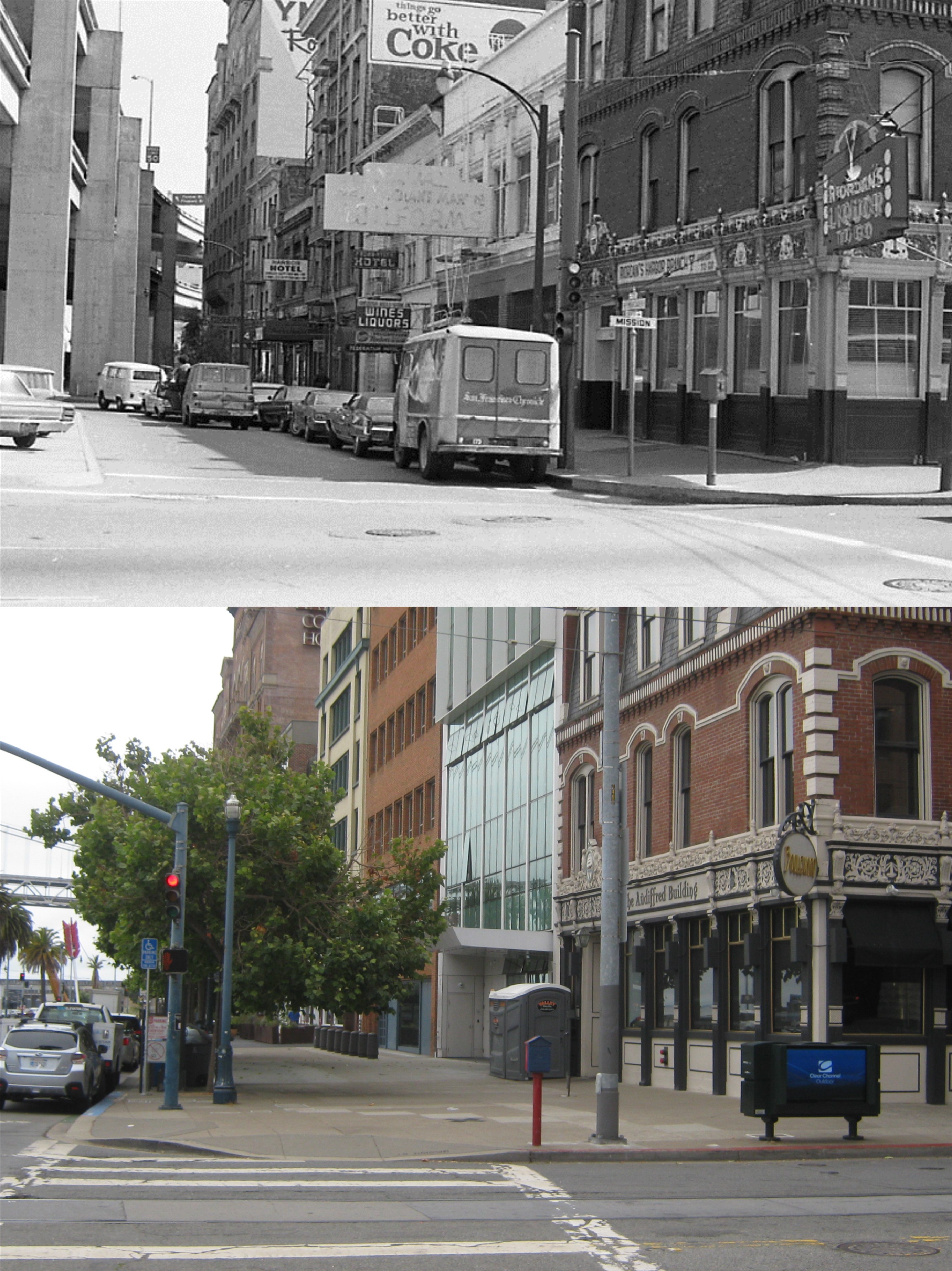
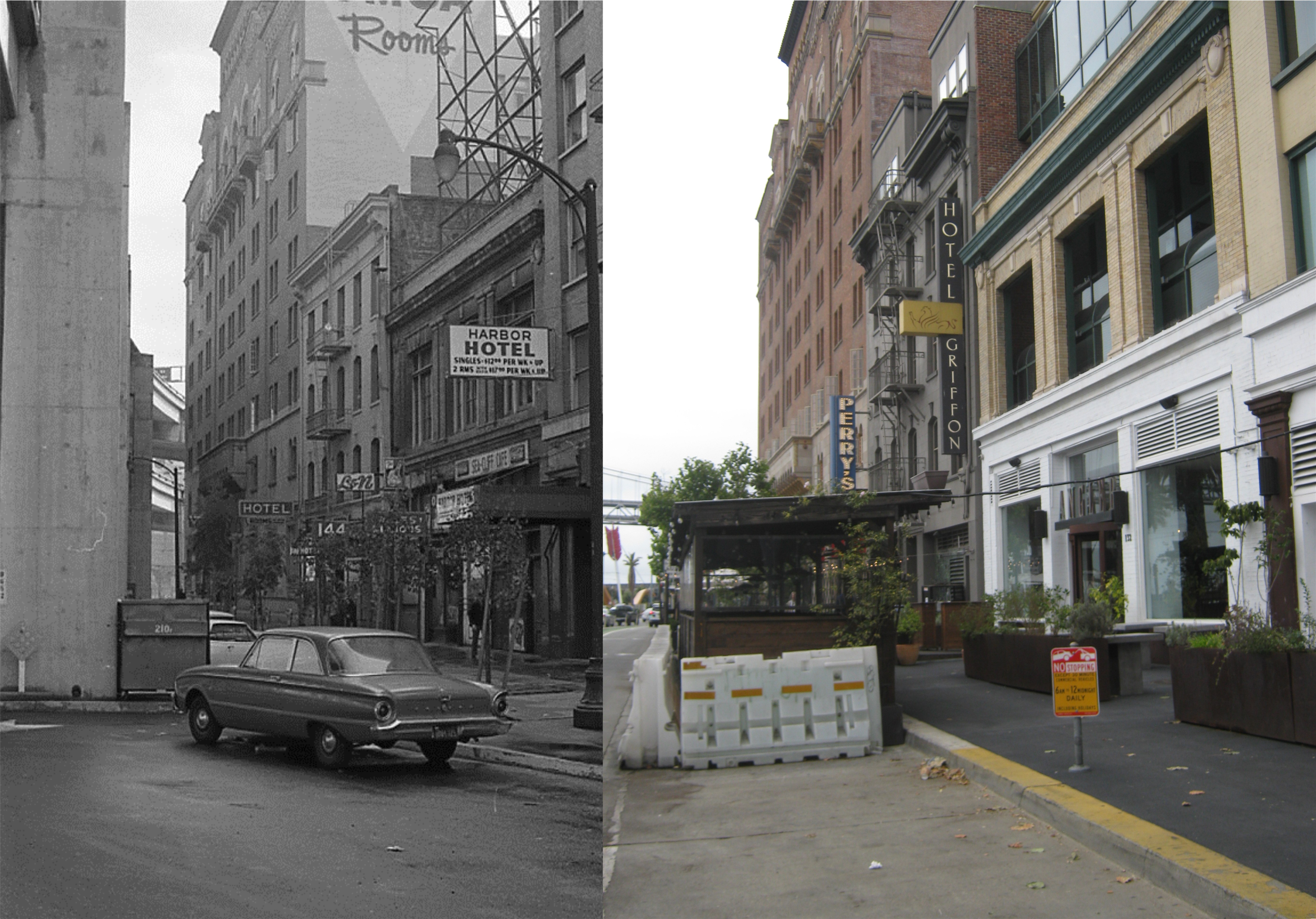
A movie scene on California Street up from Grant Ave in the 1947 film ‘My Favorite Brunette’: That’s Bob Hope, hot on a detective case, driving away from his office in the Trafalgar Building. The Trafalgar Building is gone now and was where the parking garage for the Ritz-Carton Hotel is now. Back in January of 2015 and also January of 2017, when I did an updates of this spot, the 717 entrance to the Sig Fat Building still had the white frame around the door entrance.

The entrance to the Palace Hotel on a rainy 1950s day: The clock is still there, but the Pig ‘n Whistle is gone. A blurry update on my part, but the vintage picture is too good to leave out.
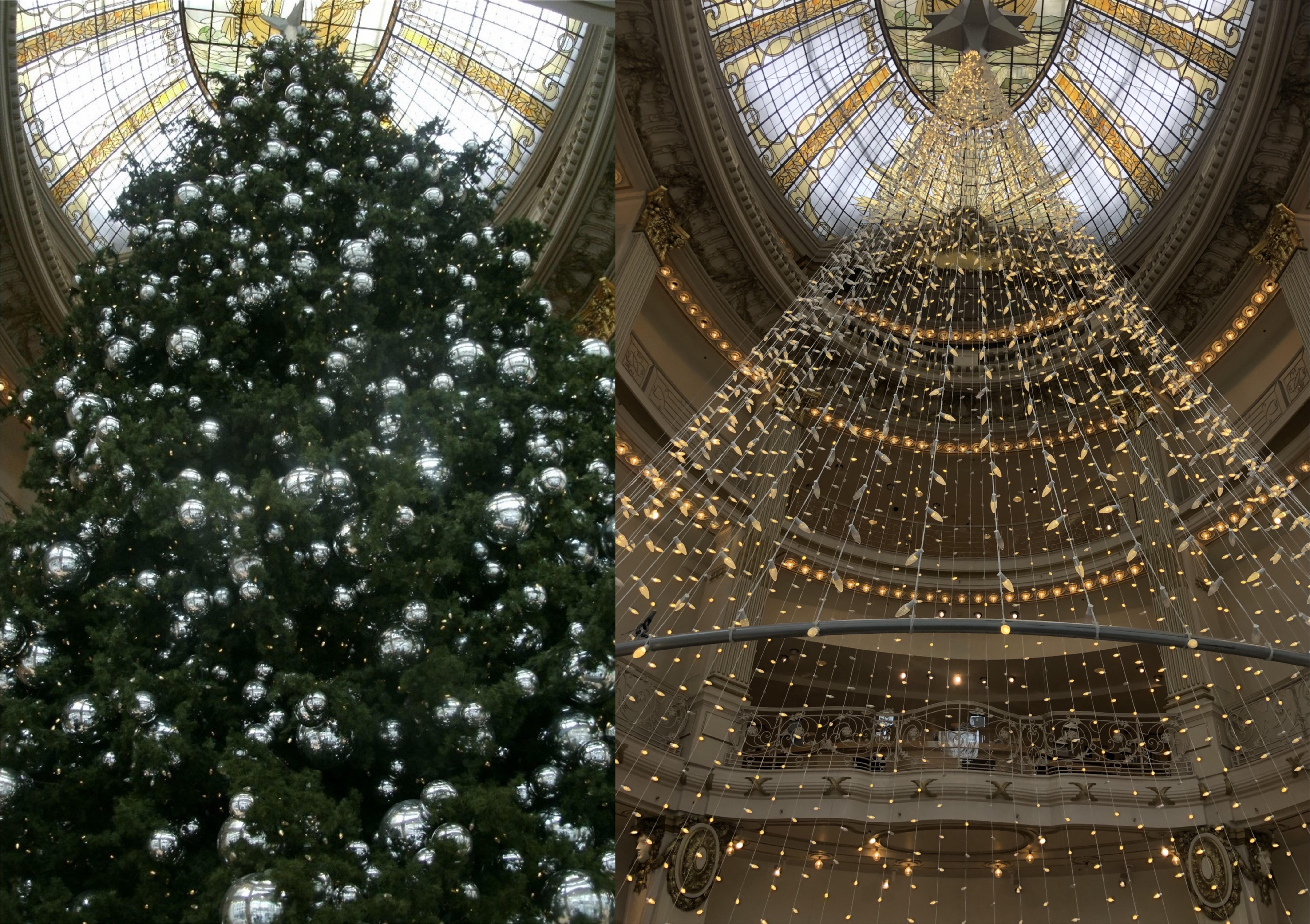
Back in 2016 I did an update comparing the Neiman Marcus Christmas tree to the one the used to be in this rotunda when the City of Paris Department store stood here. Now I’m doing an update on the 2016 Neiman Marcus Christmas tree to the 2024 Neiman Marcus Christmas tree.

A Ferryboat with Frank Sinatra aboard arrives behind the Ferry Building in the open scenes of the 1957 film ‘Pal Joey’. You can still see the old Southern Building, lost in the modern crowd of today’s skyline. This was a redo of the first then and now I posted on this blog in June of 2013.


