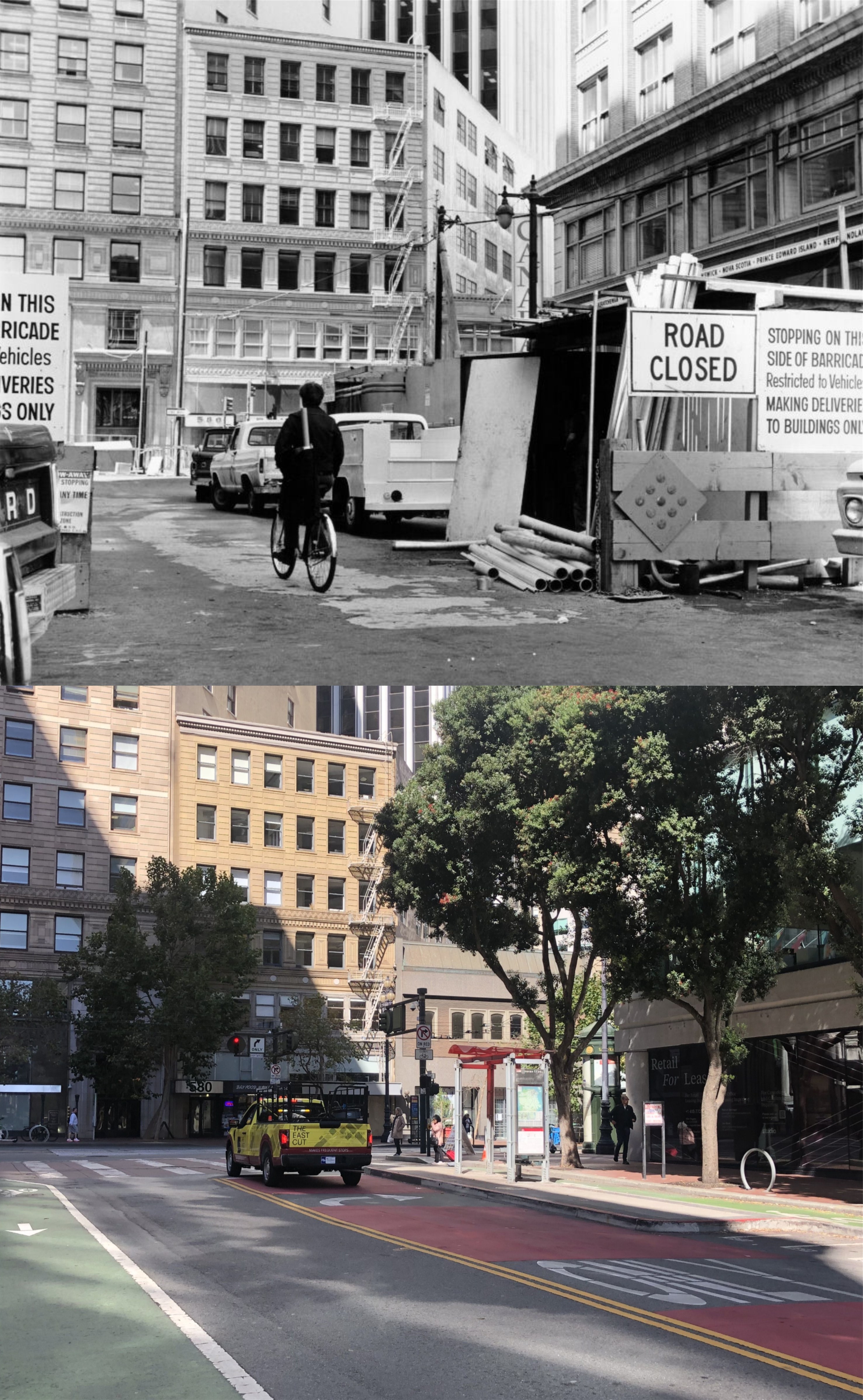
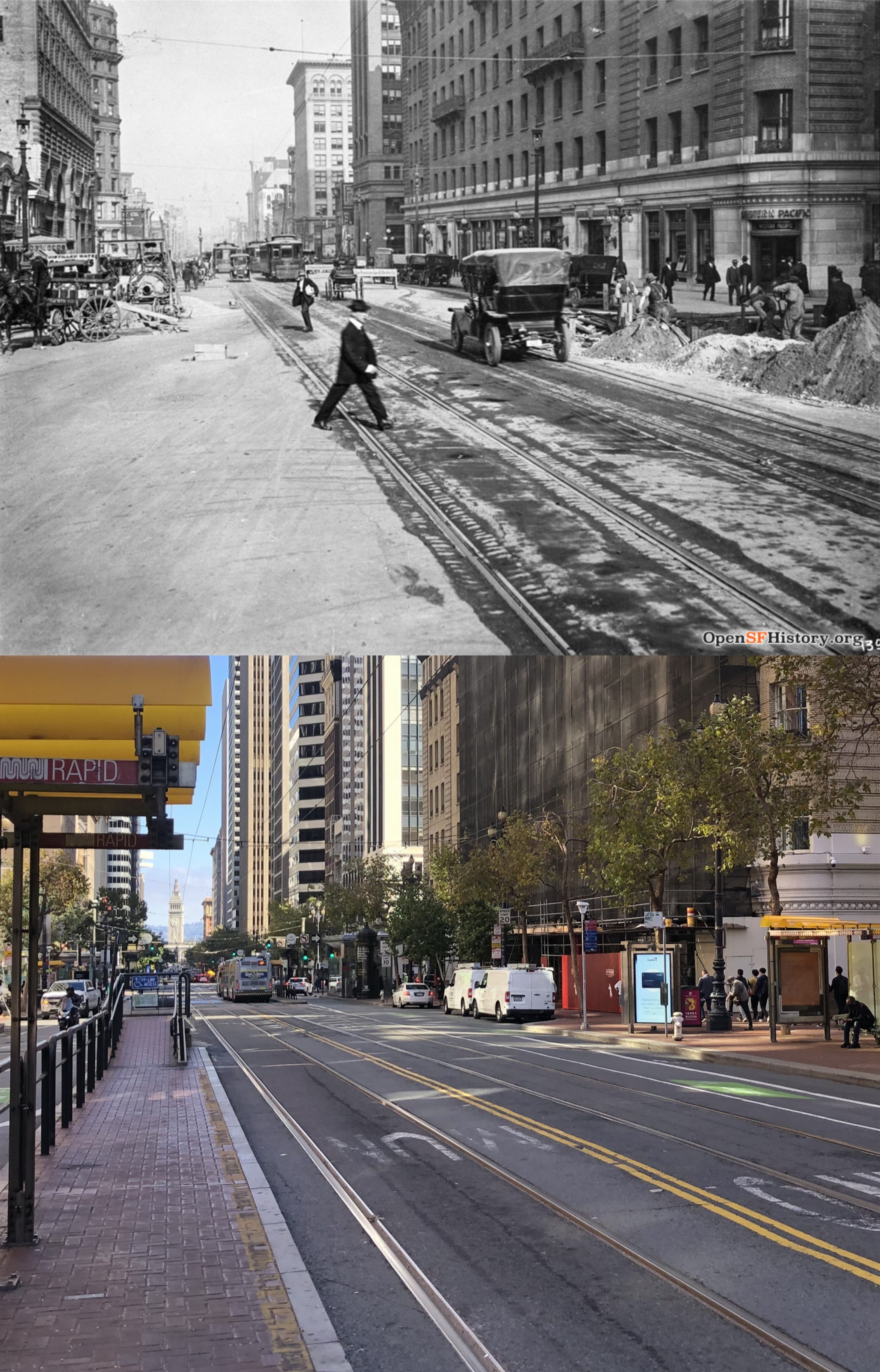
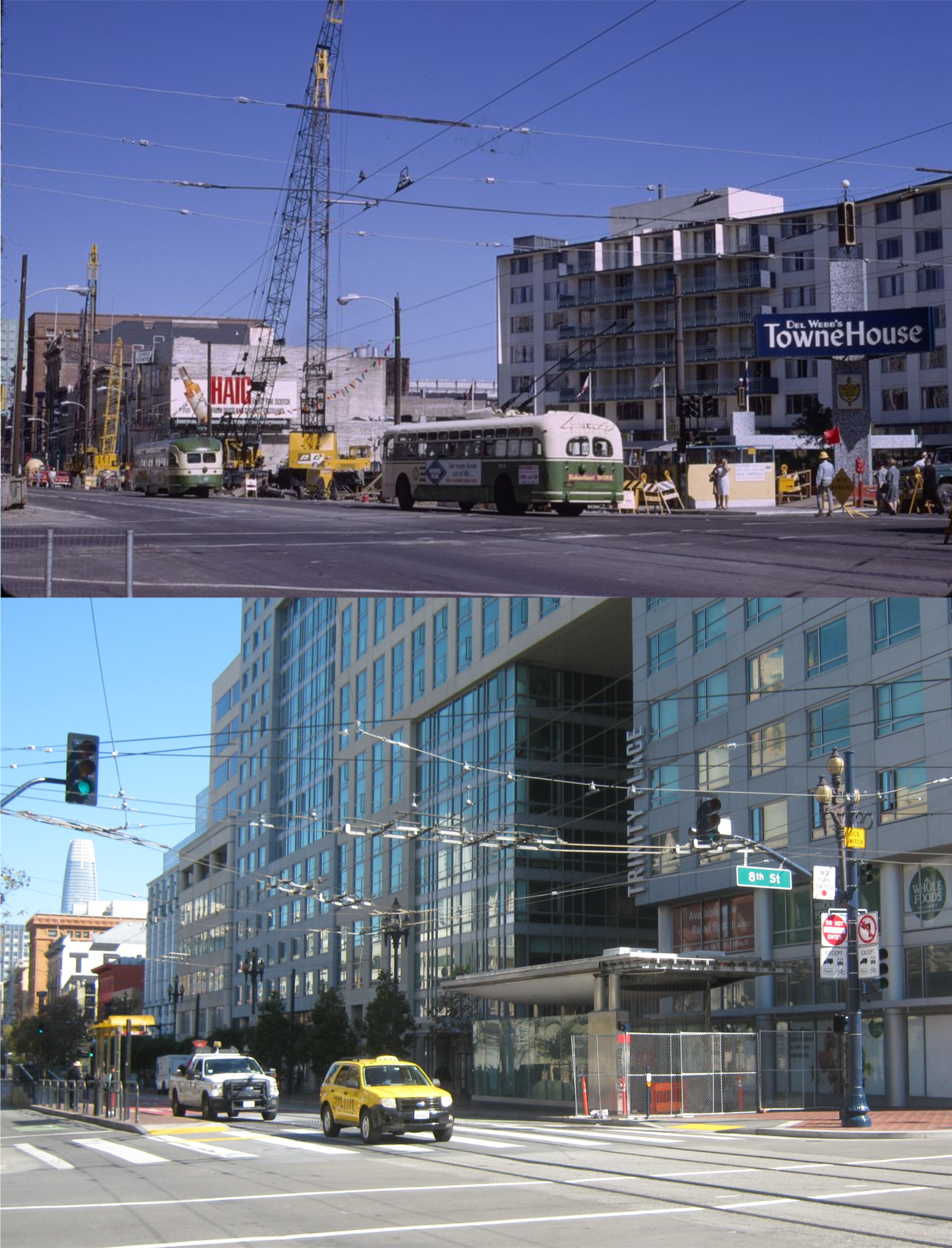
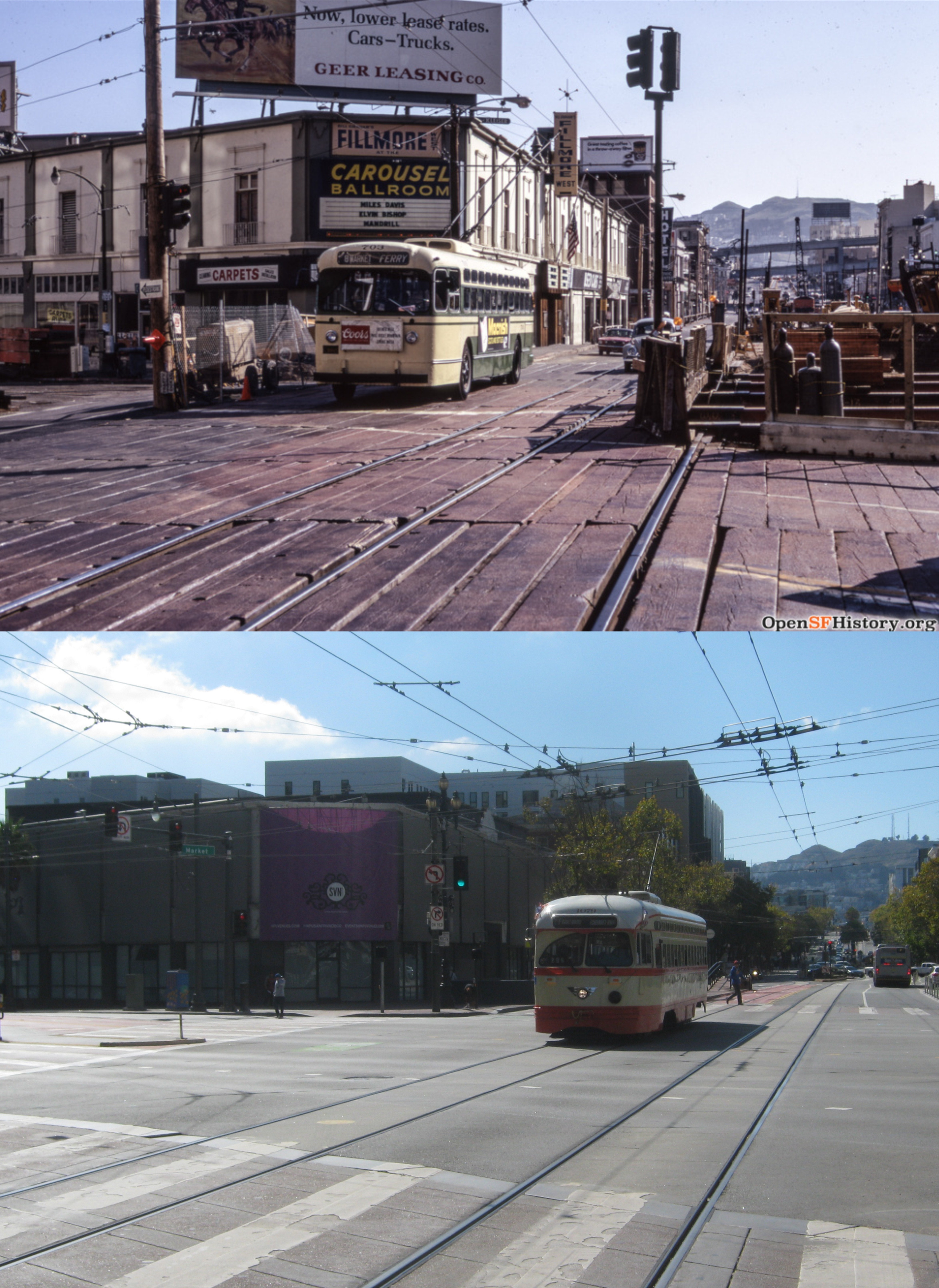
On August 7th 2010, the Transbay Terminal that opened in January of 1939 closed forever. It was completely demolished by September of 2011, and was replaced by the Salesforce Transit Center. From this bus, and one time train, terminal, my friends and I would discover San Francisco, starting at age 14 in high school. We would take the long bus ride from Castro Valley, and from here we discovered Chinatown, Fisherman’s Wharf, Playland-at-the-Beach, the Cliff House, Golden Gate Park, Telegraph, Russian, and Nob Hills, the Golden Gate Bridge, the Embarcadero, and all of the rest of the wonderland of San Francisco. Because it was a special place to me, I brought my digital camera over on the last day of the operating terminal, and took as many pictures of the outdated Transbay Terminal as I could get. Yesterday, I looked through the San Francisco Library Digital Archives and the UC Berkeley Library Archives to find pictures that matched as close as possible to the pictures I took fifteen years ago. After the 1989 Loma Prieta Earthquake, extensive retrofitting was done to the Transbay Terminal, so you’ll see a lot of columns in my pictures that weren’t in the vintage photos. (Thumbnail images)
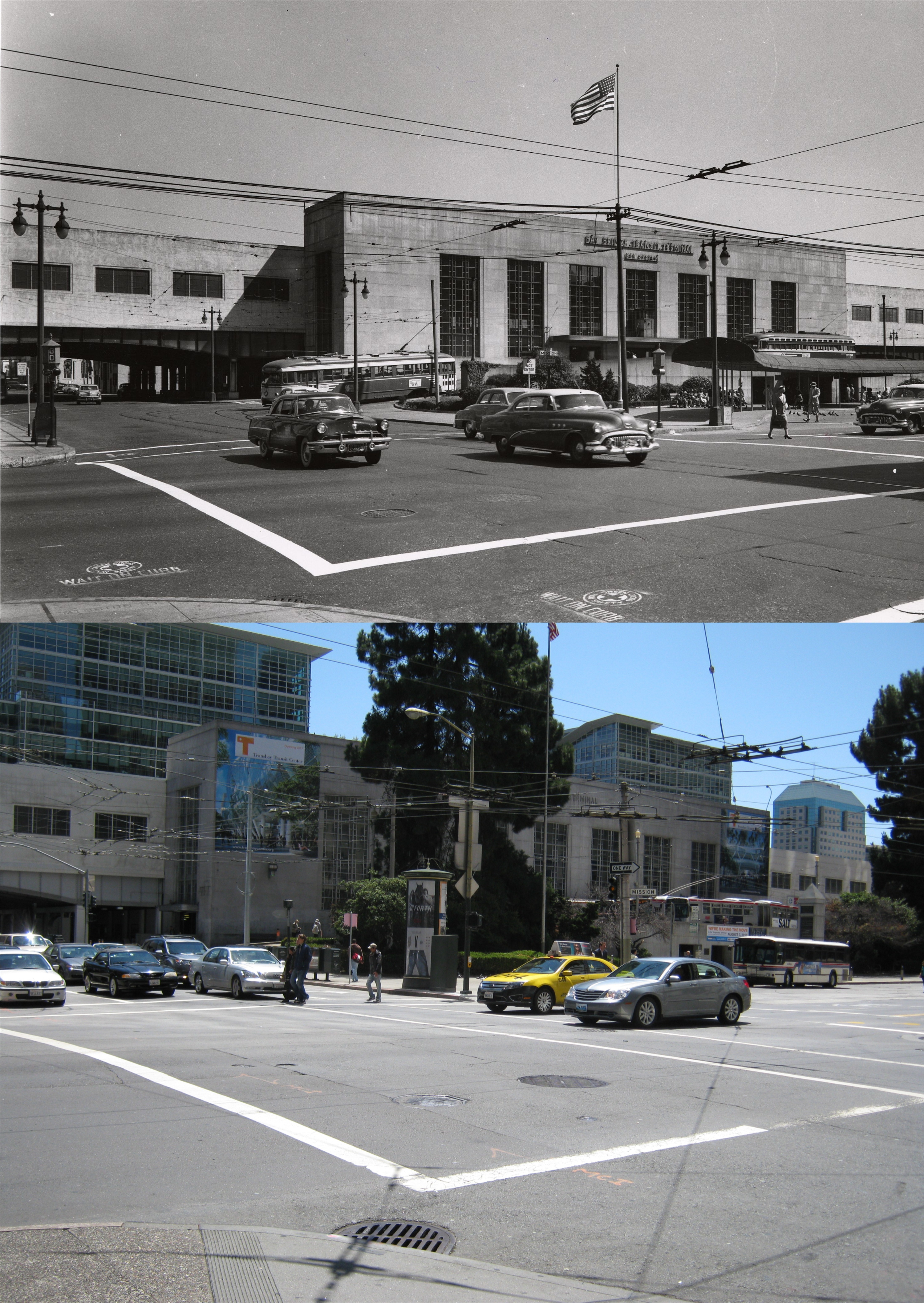
The intersection of Mission and Fremont Street, looking toward the terminal in the 1950s and August 7th, 2010: (SF Library Digital Archives)
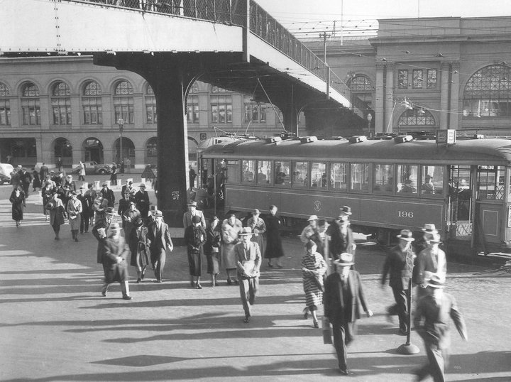
Looking east from 1st Street in August of 1953: (SF Library Digital Archives)

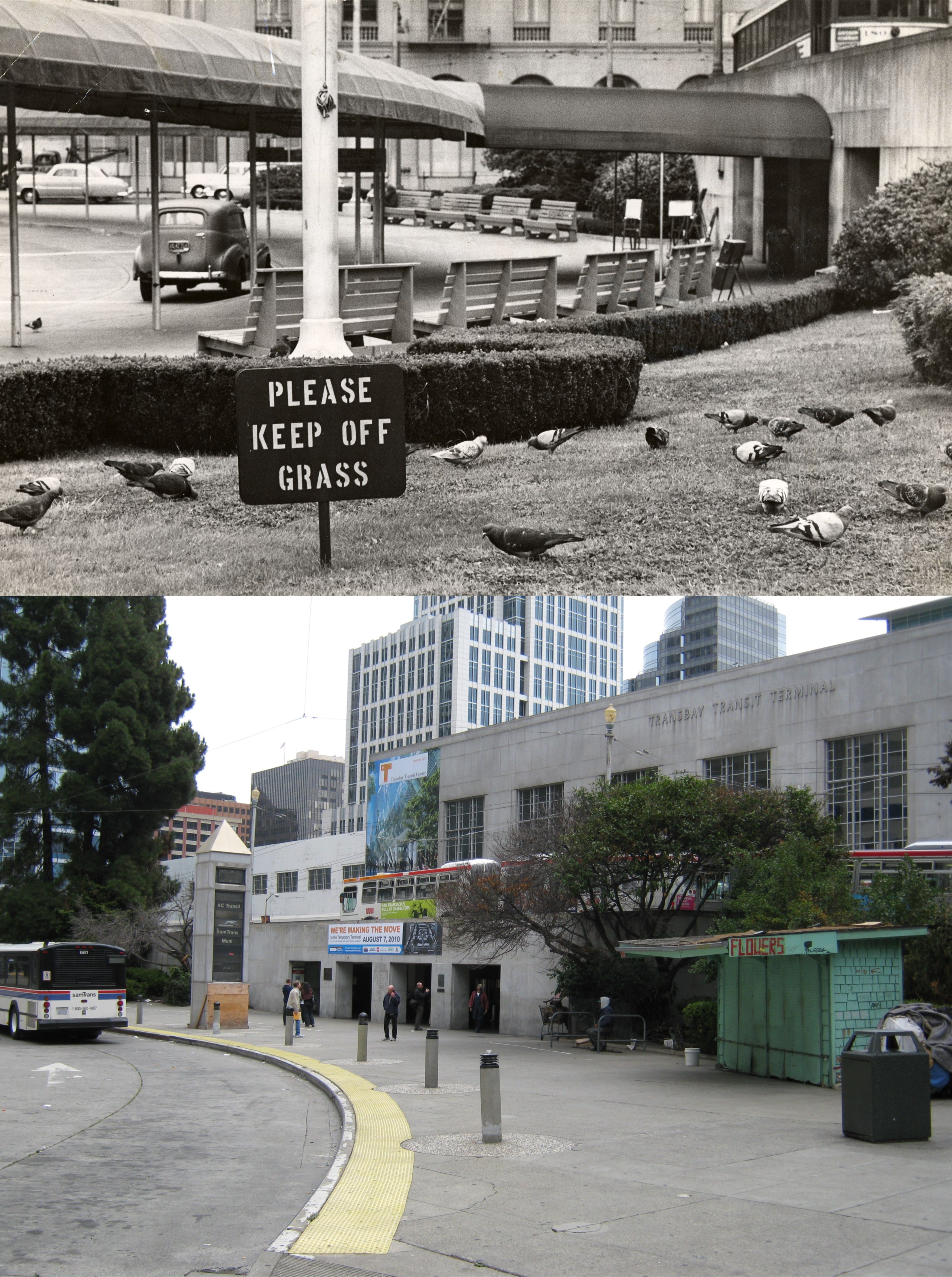
Looking toward intersection of Mission and 1st Streets in June of 1958: (SF Library Digital Archives)

Finishing up work inside the Transbay Terminal in October of 1938: : (SF Library Digital Archives)

January 14, 1939, the first trains arriving at the Transbay Terminal: (UC Berkeley Library Archives)

Not the same stairs, but possibly the same level these two socialites from Berkeley are descending to in 1939. (SF Library Digital Archives)

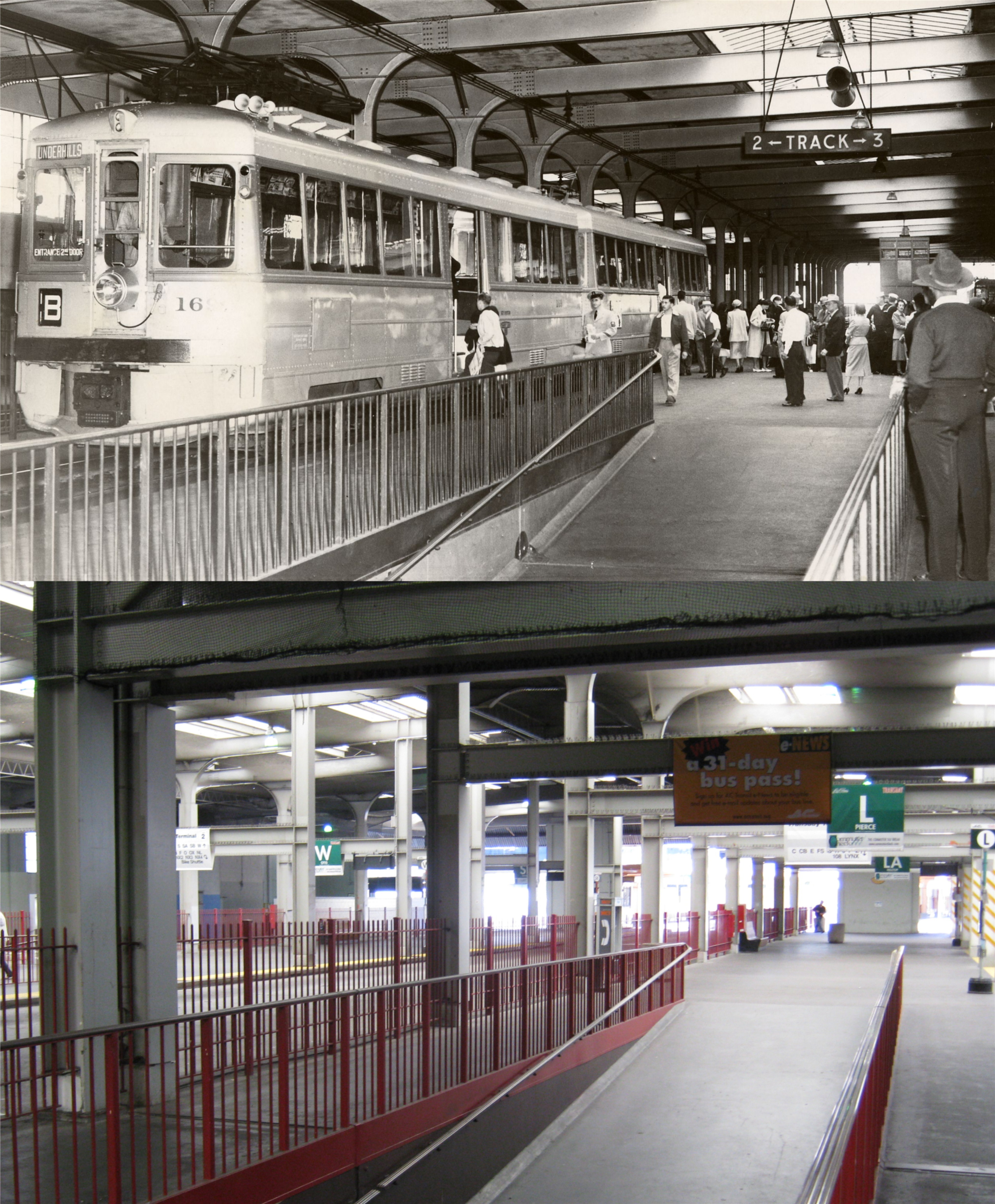
I don’t remember the downstairs bench area for passengers waiting for a bus or train being that claustrophobic. The vintage pictures was in June of 1939. (UC Berkeley Library Archives)

A Key System train in 1939,. and a bus in 2010: (UC Berkeley Library Archives)

A long line to board a Key System train in June of 1948: (SF Library Digital Archives)
Passengers in July of 1953 board the Zephyr Train from the Key System Train Service that ran back and forth to and from the East Bay along the Bay Bridge. (SF Library Digital Archives)
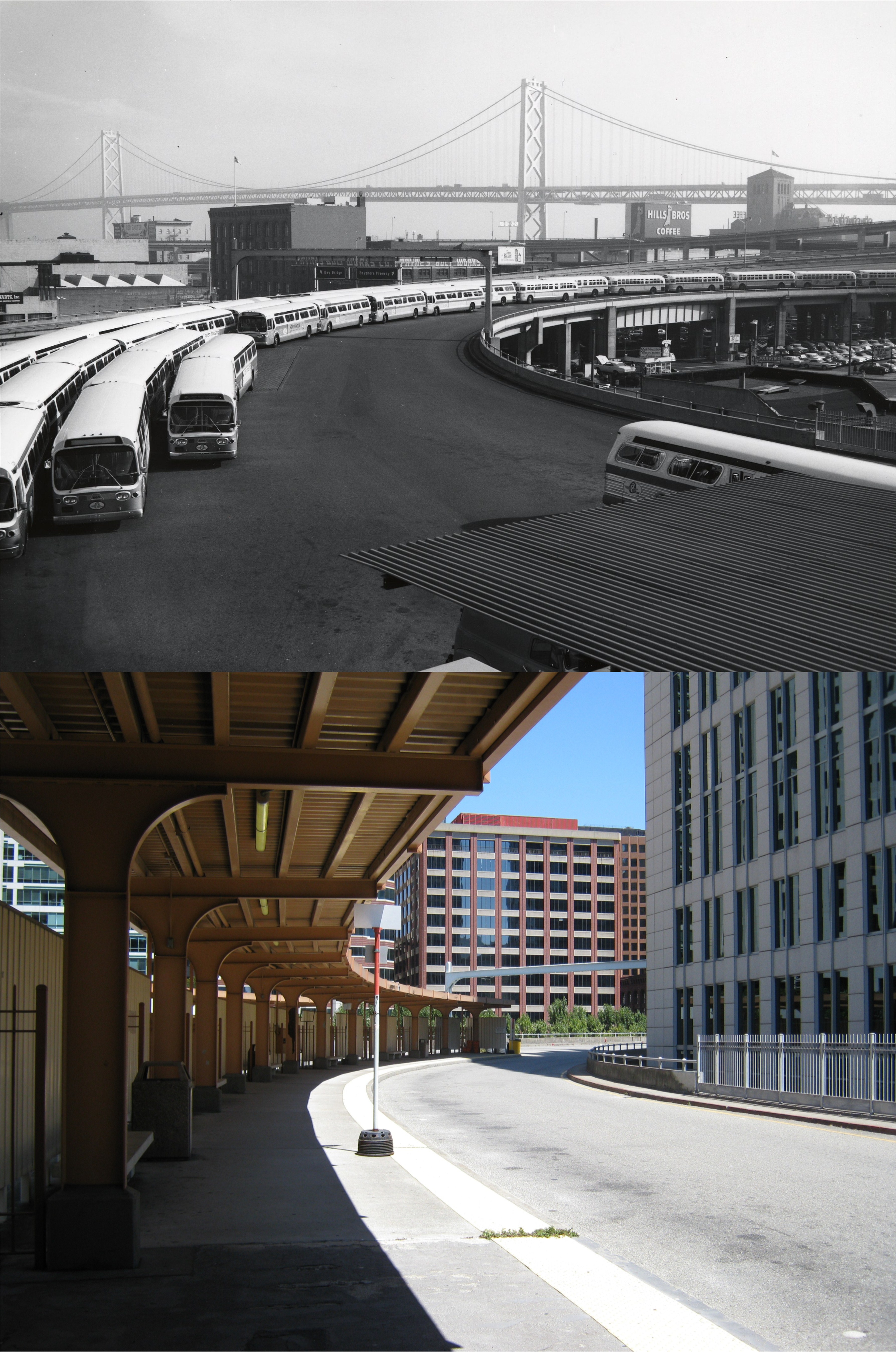
The approach into the terminal by both train and bus came through this portion of the building. I don’t know what the bus back up in the undated vintage photo from the SF Library Digital Archives was all about.

Crowds lining up to board modern and outdated buses in 1973, and a lone figure boards a near empty bus on August 7th 2010: (SF Library Digital Archives)

One for the road; June 15th 1939, August 7th 2010: (UC Berkeley Library Archives)