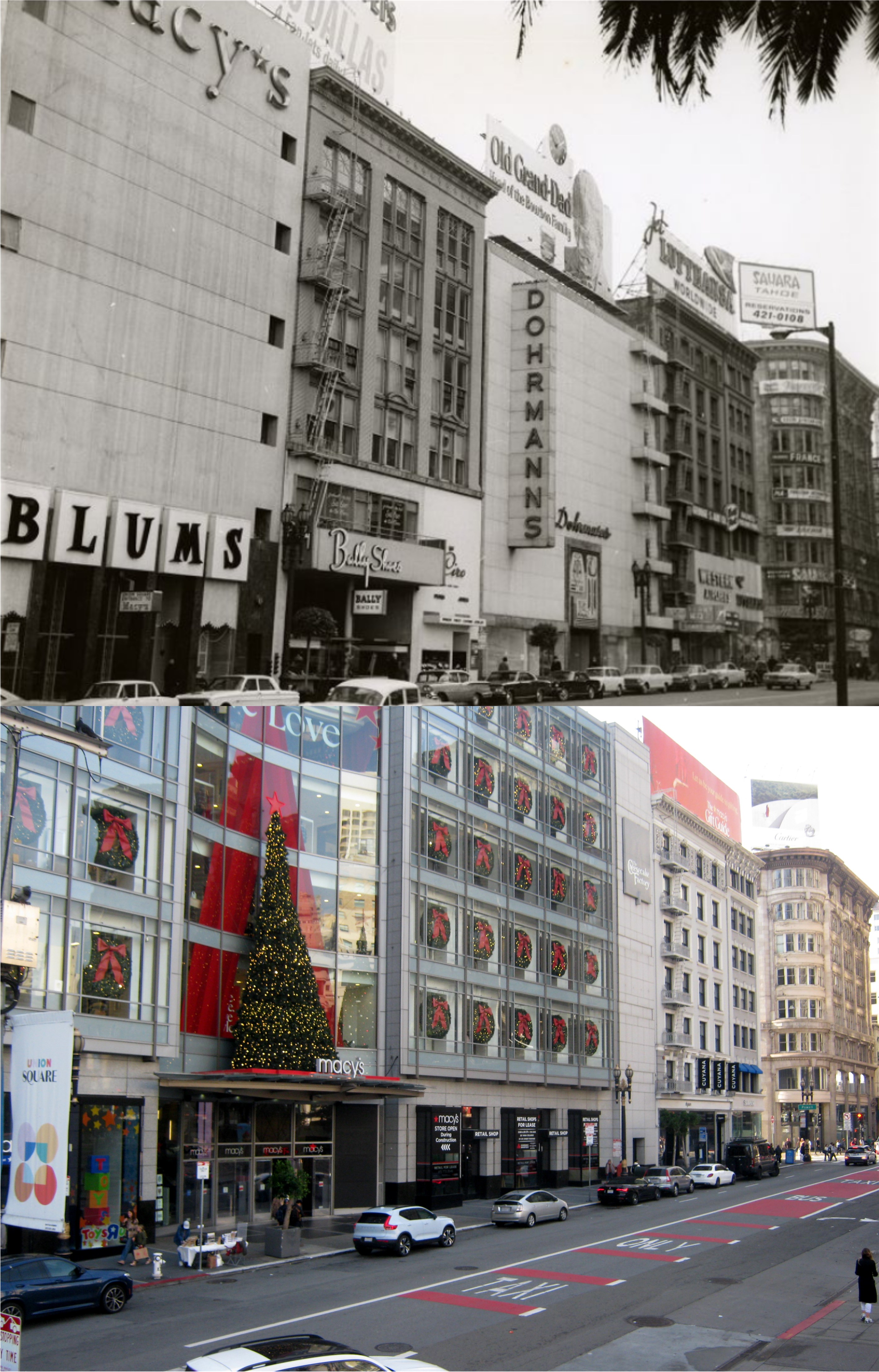
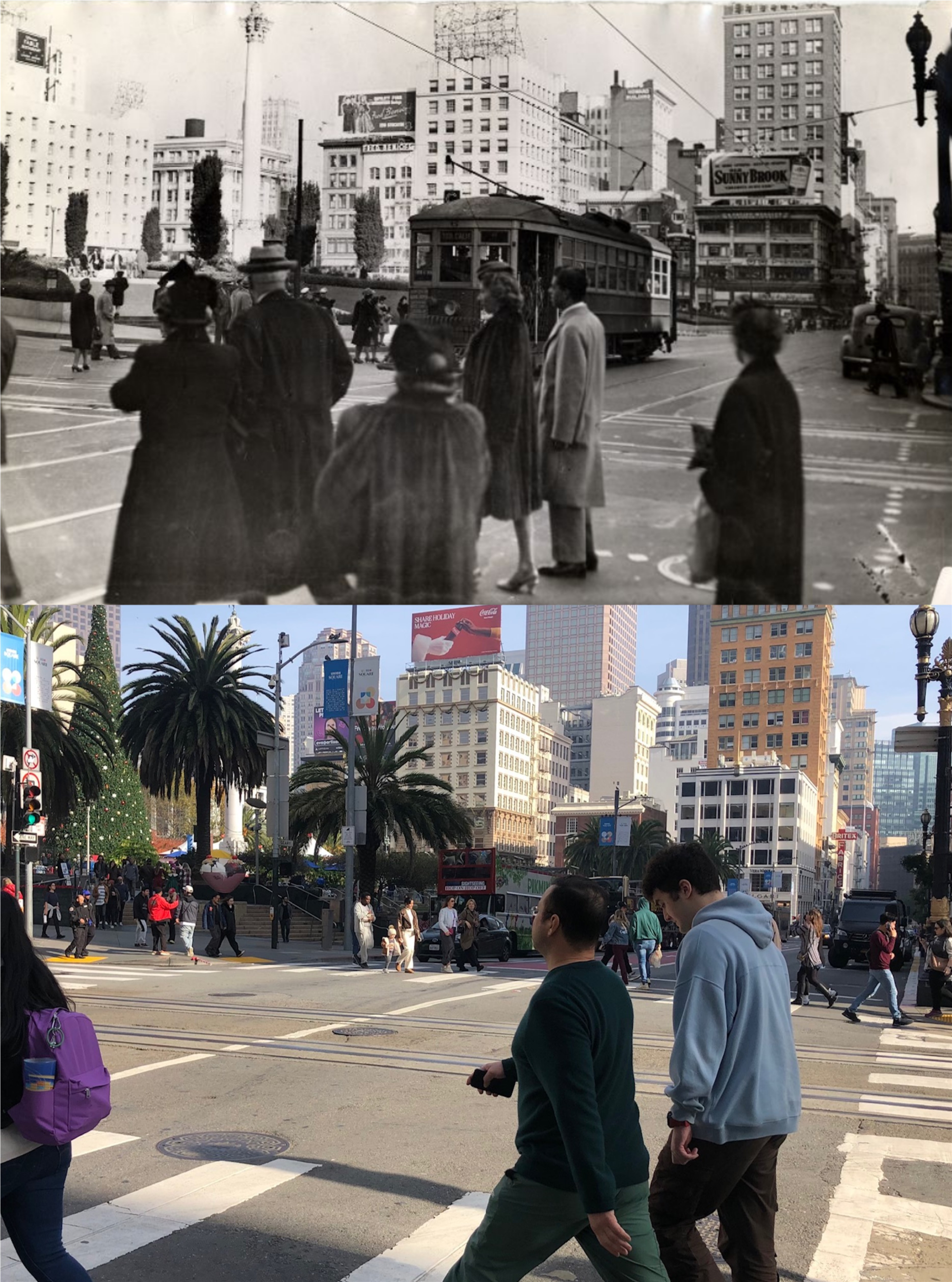
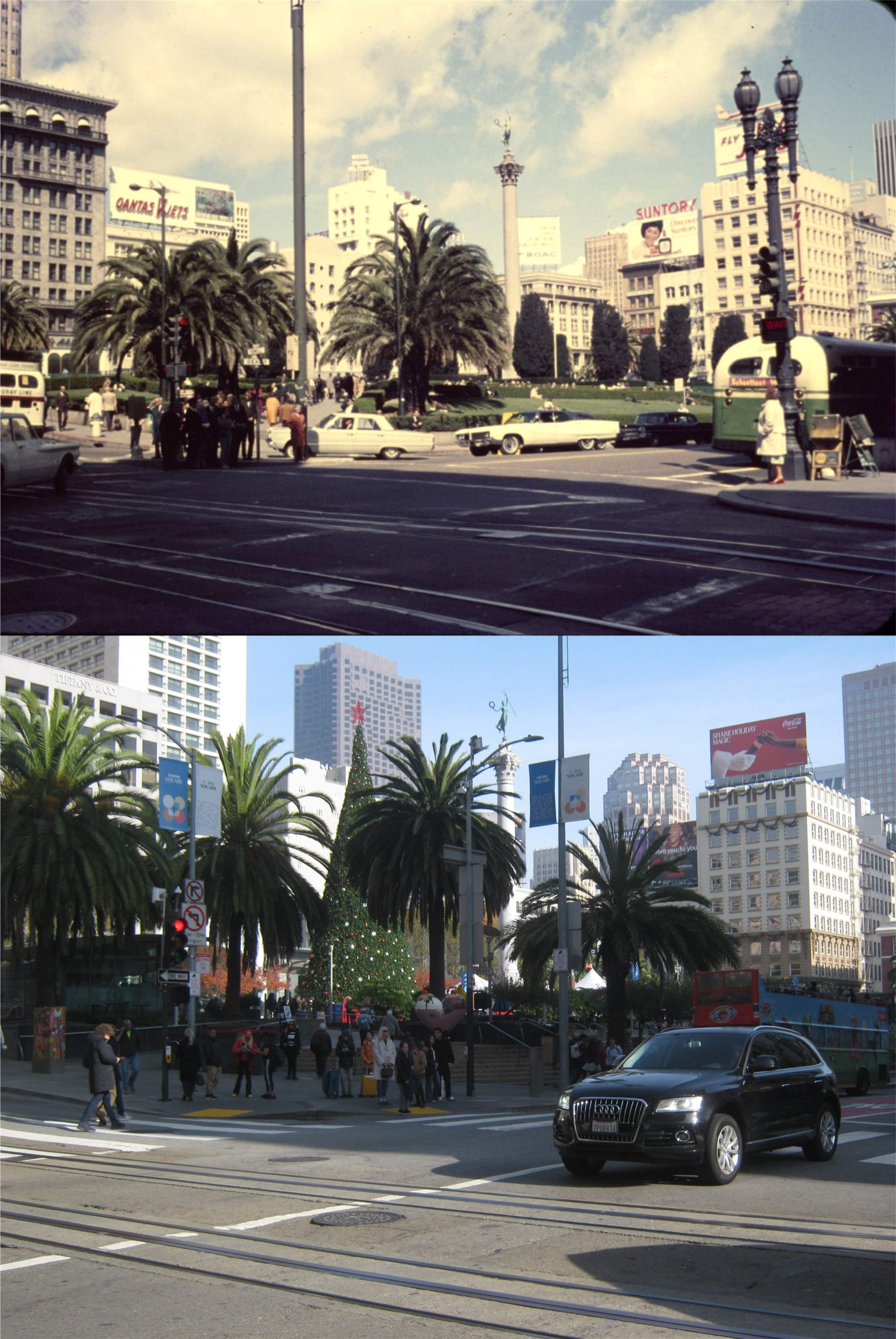
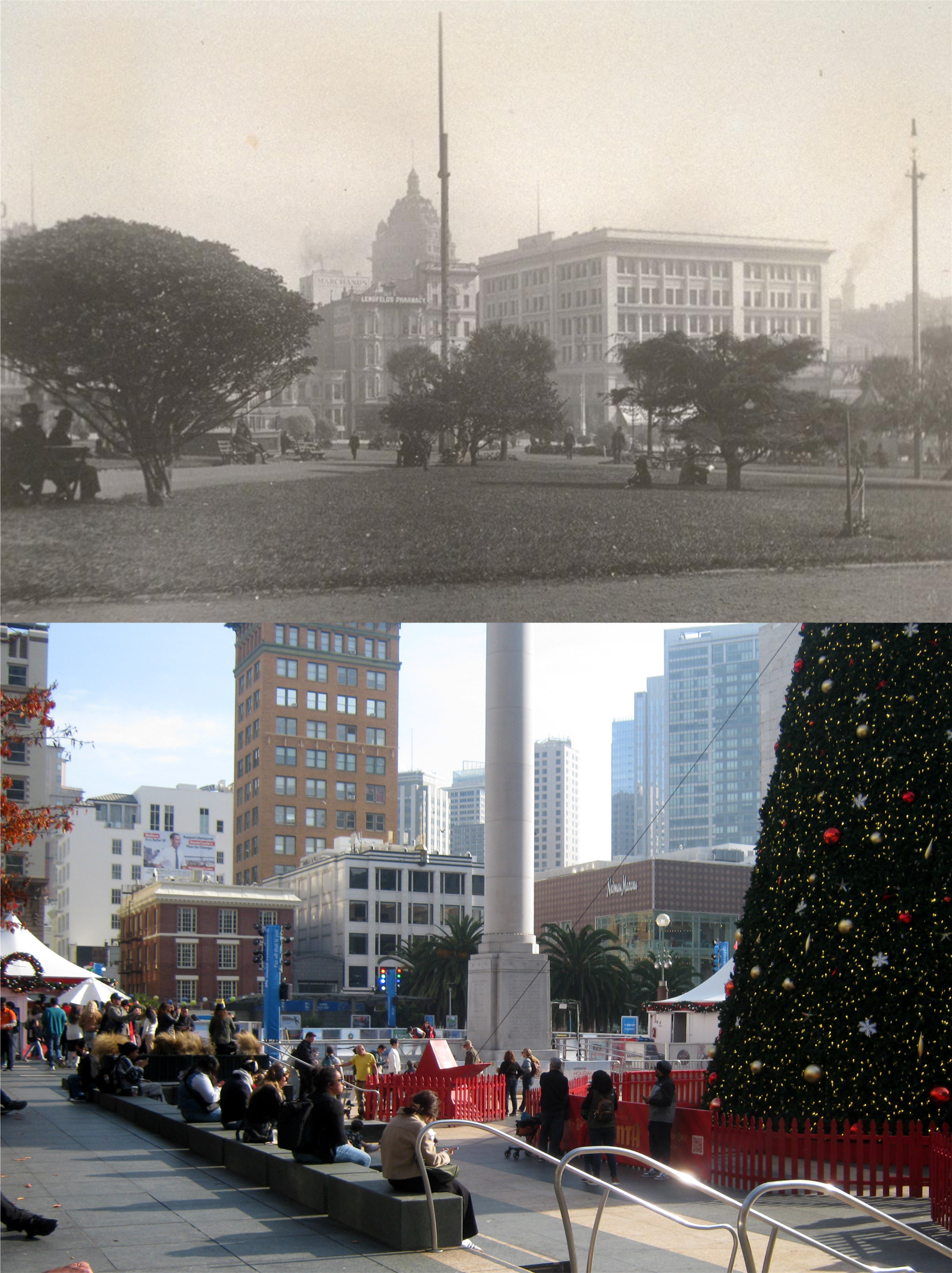
In November of 2022, I found a collection of terrific photographs from the UC Berkeley Library Archive taken from the top of Coit Tower in July of 1933, three months before it was completed. When I went to the tower that month, the elevator was out of order, but I was told that if I wanted to pay the admission fee, I could walk up the 13 floors of stairs that wrap around the tower from the bottom to the top, which I did, but will never do again. It’s not an easy climb, and when you’re ready to leave, there’s 13 floors of steps to walk back down. I wasn’t happy with the way my pictures turned out, and I’ve been trying to go back to the top of the tower to redo my shots numerous times, but the elevator has always been out of service. Last Sunday, the ancient lift was up and running again and I finally got a chance to ride back up to the top, and although the lines to board were back as well, I didn’t mind. Each section of views surrounding the tower has three windows to a set, and I wanted to try to get my updates from the same window as the pictures taken over ninety one years ago. Enjoy the view, and I’ll try to point out some of the buildings, structures and locations still visible today. (Thumbnail images)

Looking south between Montgomery and Kearny Streets: If you look close, you can see the Columbus Tower/Sentinel Building along Kearny Street on the right in both pictures.

Looking toward Nob Hill, with the Mark Hopkins and Fairmont Hotels on the right: The Fairmont Tower blocks out the Mark Hopkins now.

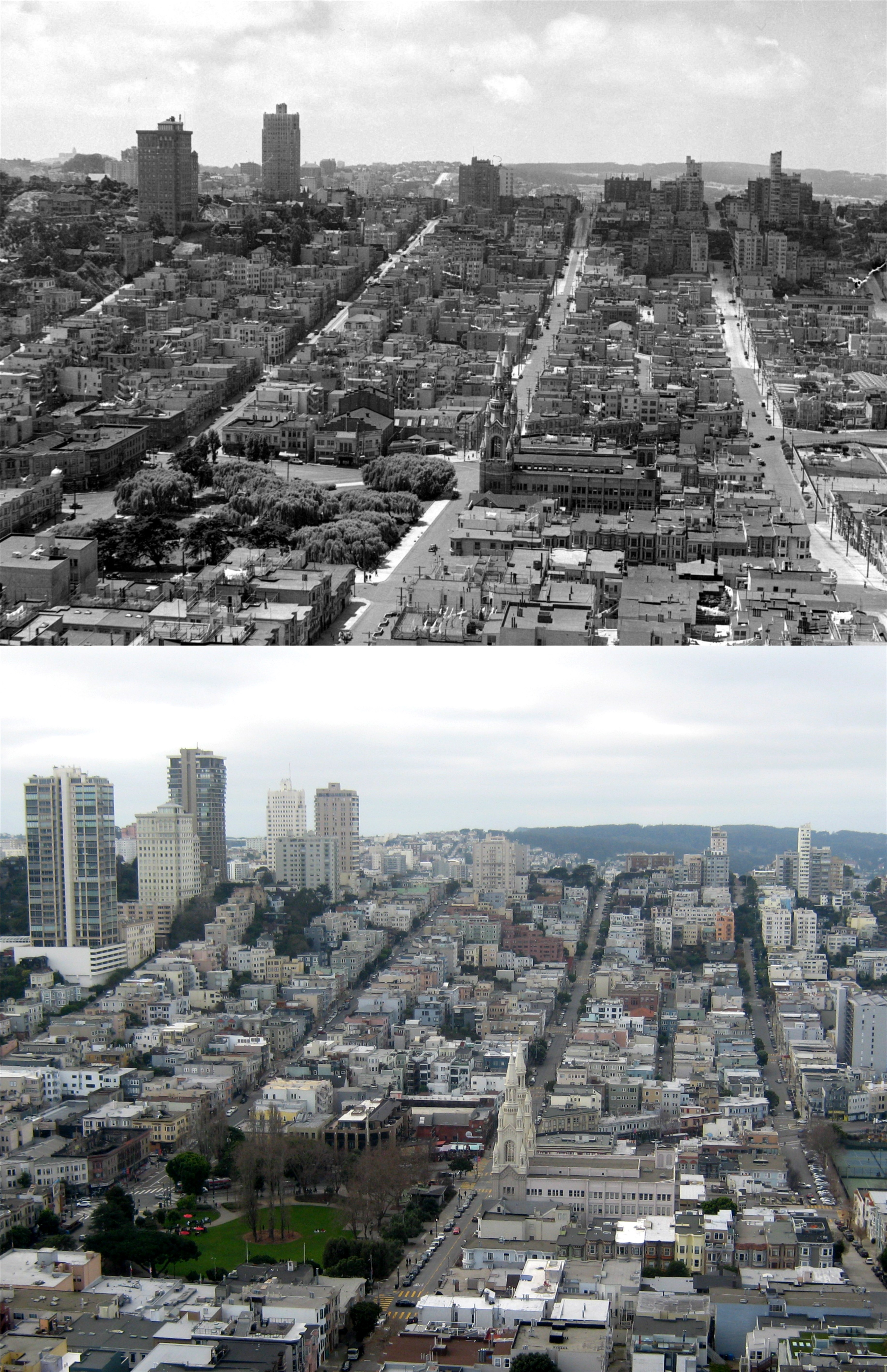
Looking southwest across North Beach to the valley between Nob Hill on the left, and Russian Hill on the right:
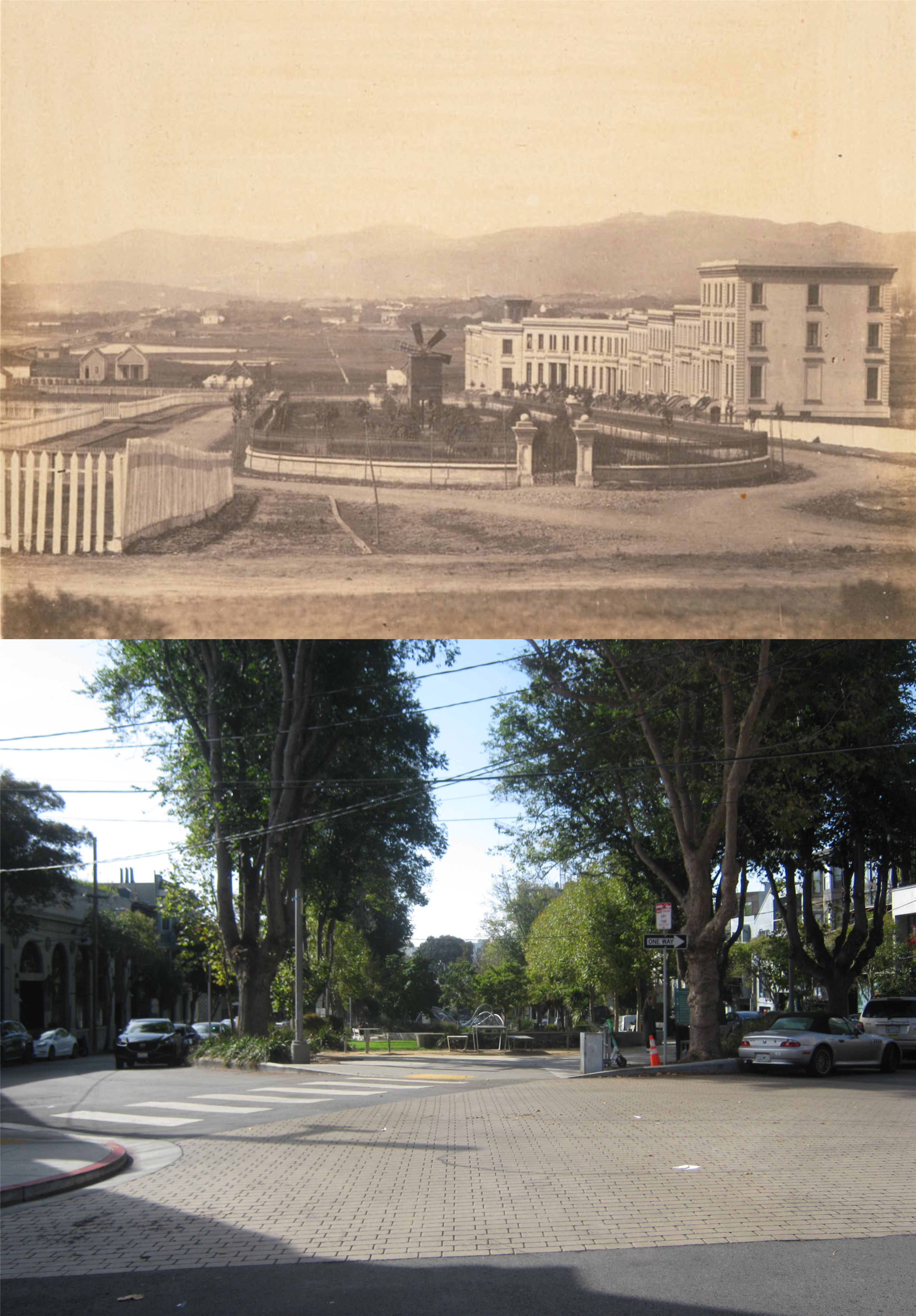
Looking over Washington Square and Saints Peter and Paul Church at the lower left and center:
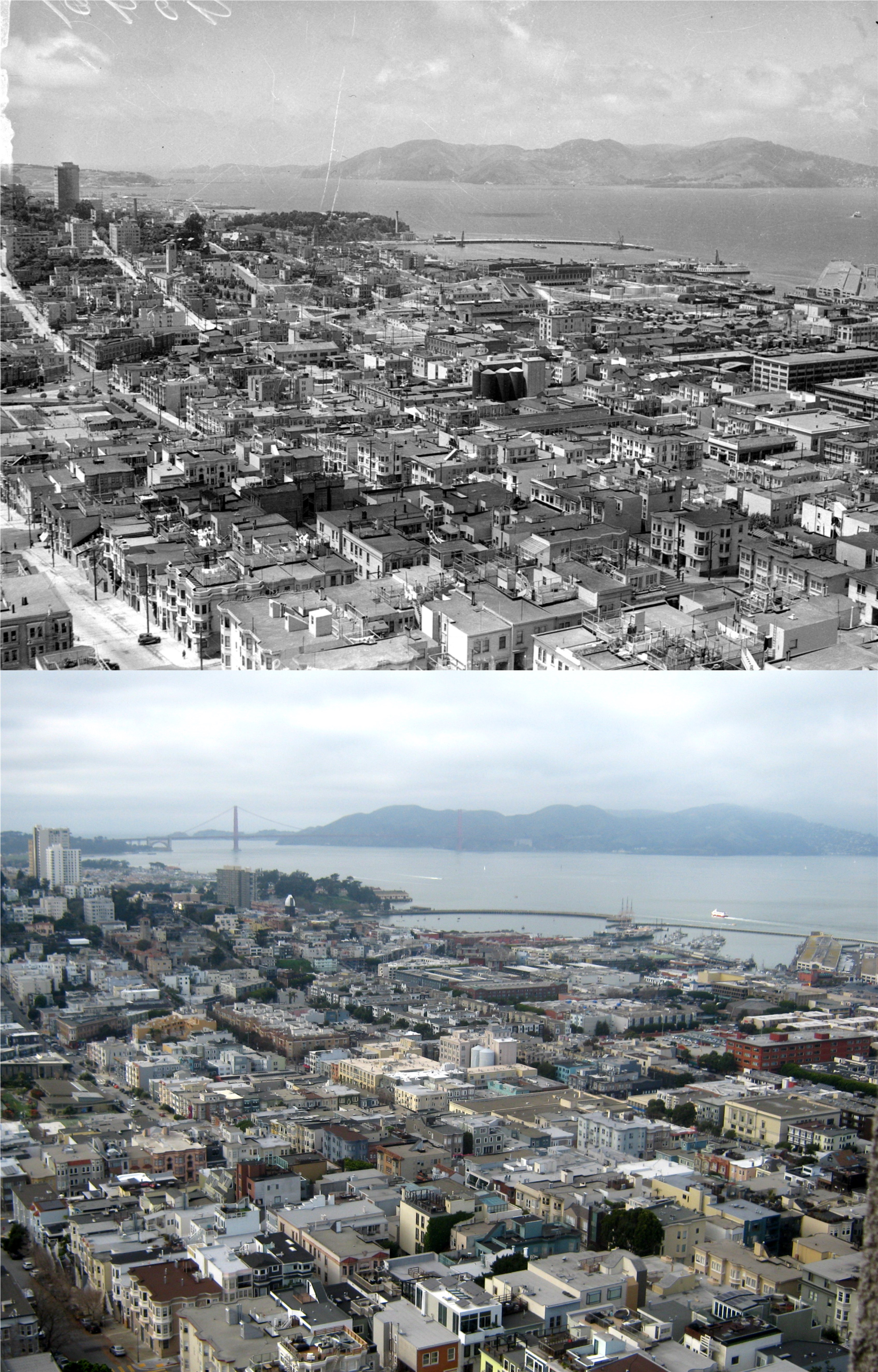
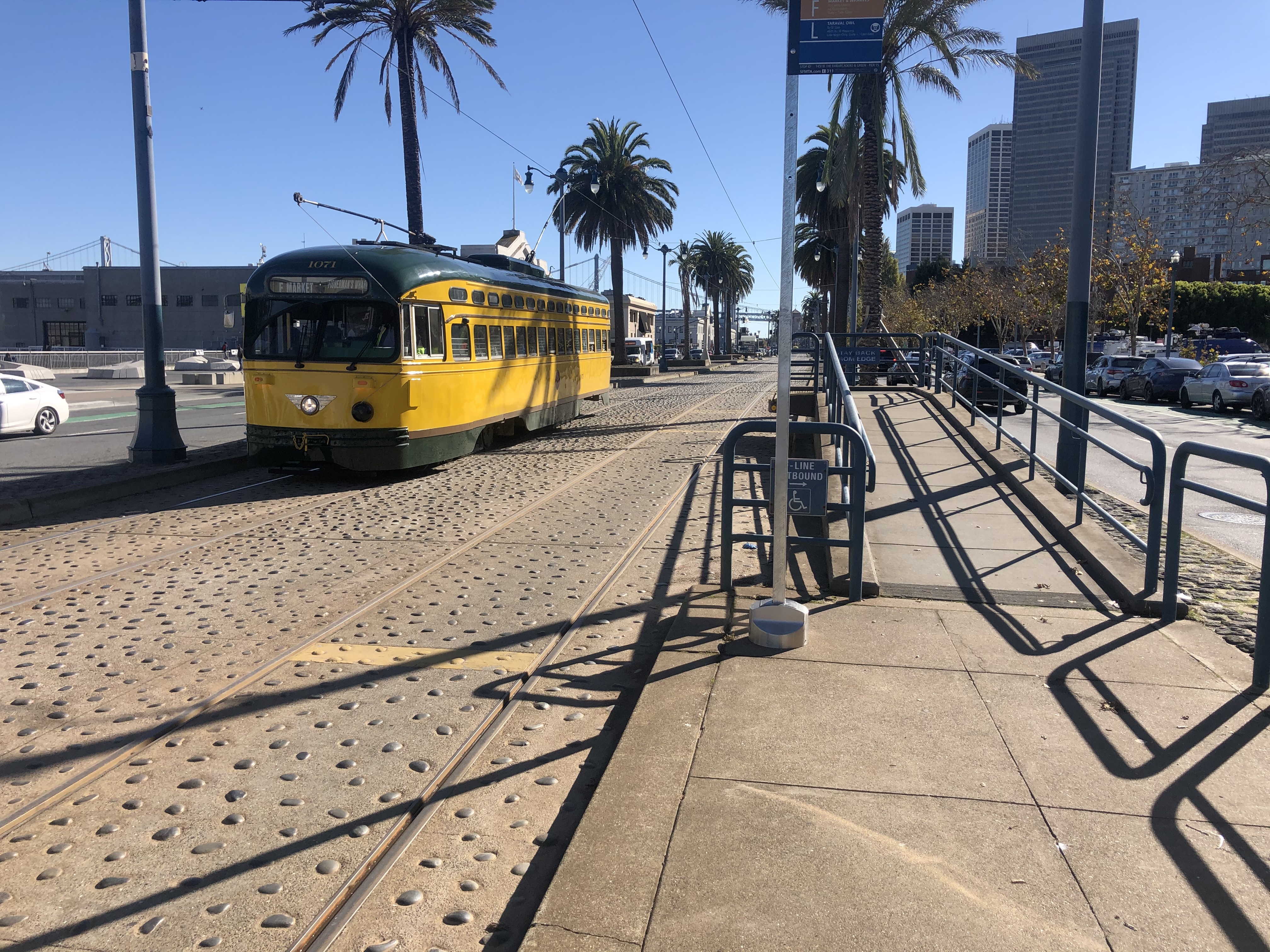
Looking northwest over Russian Hill and Aquatic Park: No Golden Gate Bridge yet, but the Van Ness Pier is in both photos. Pier 45 is on the far right in both pictures.
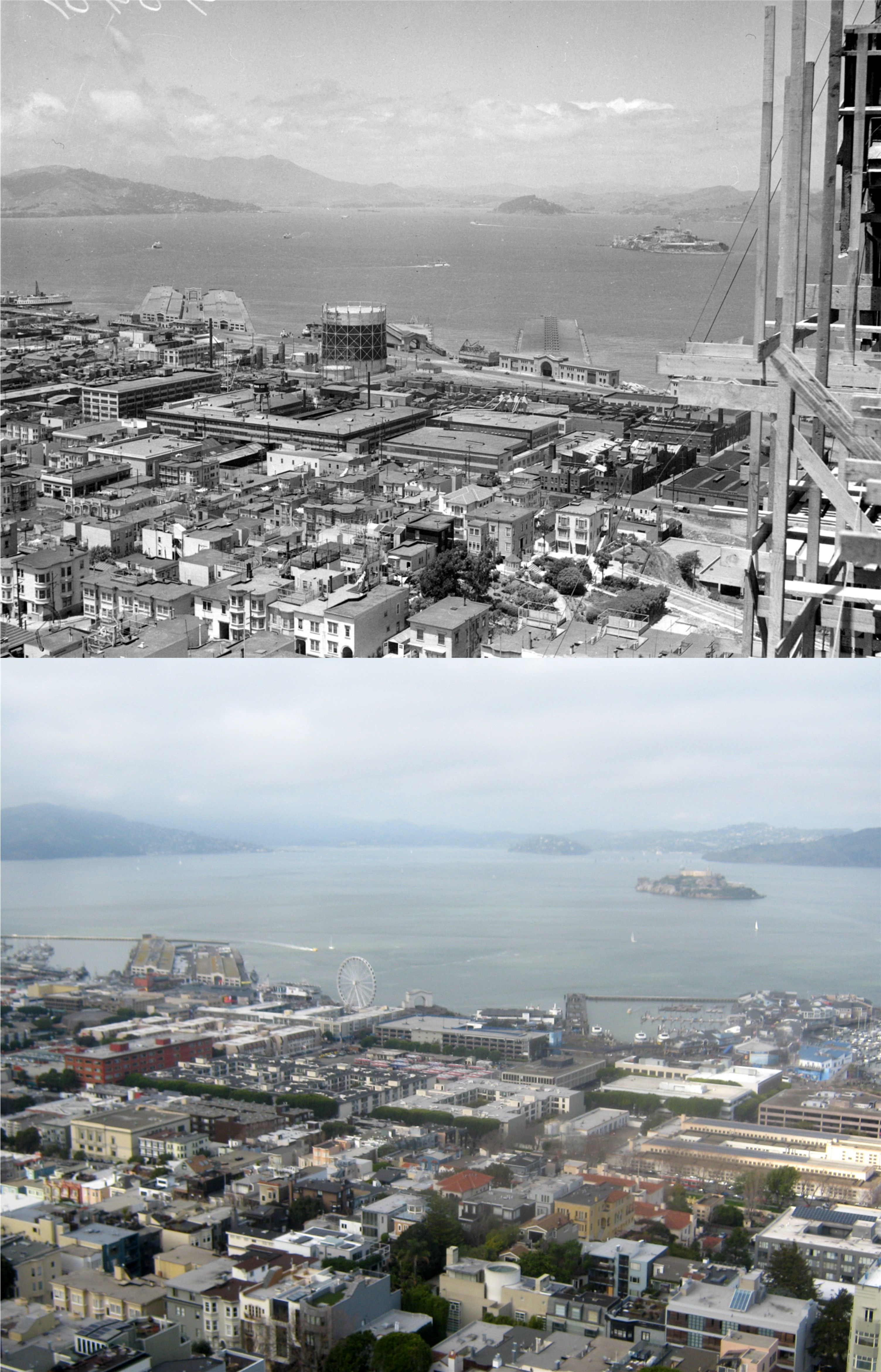
They were still putting some finishing touches on Coit Tower in this view across Fisherman’s Wharf and Alcatraz.

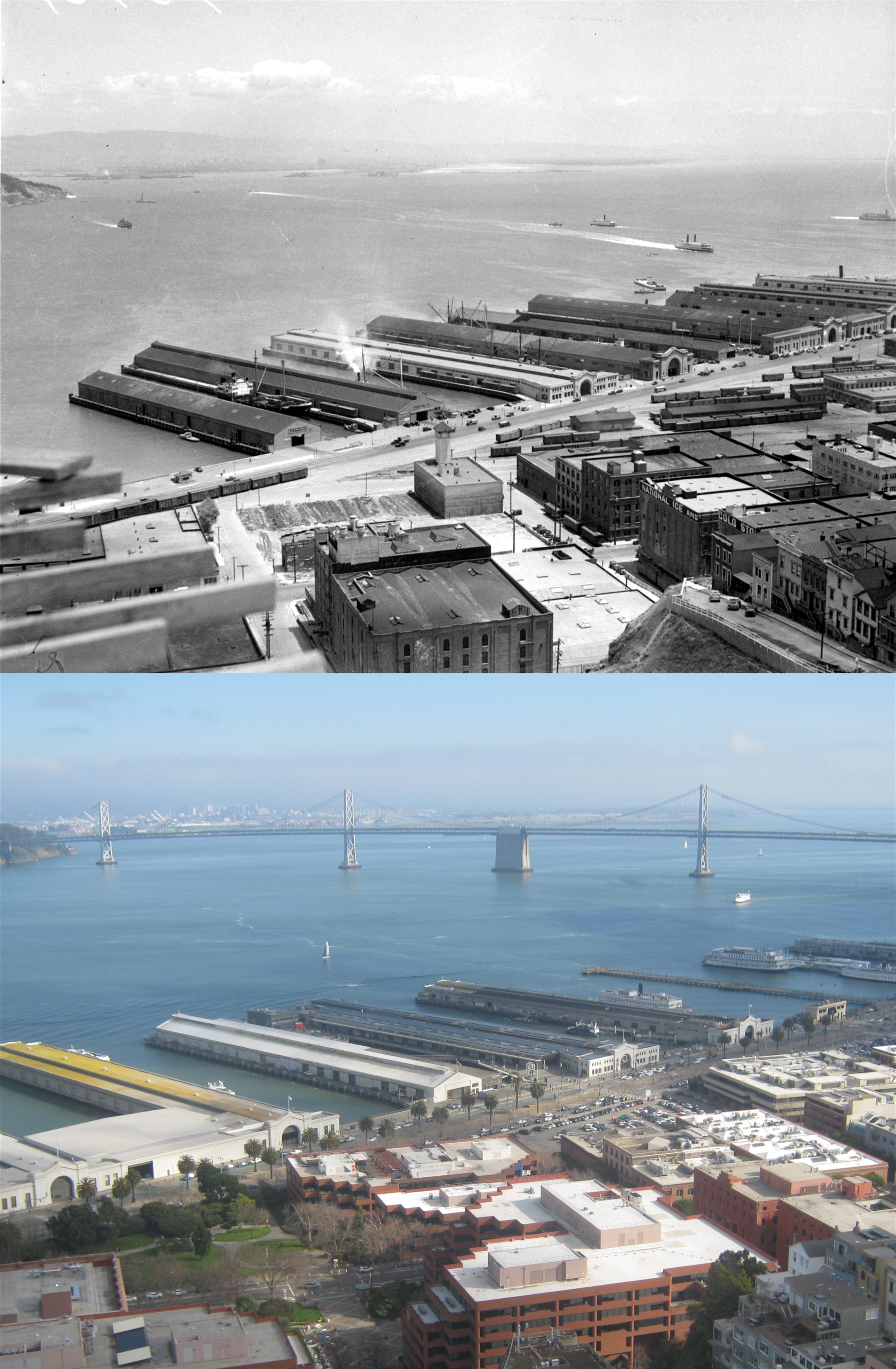
Looking east toward Yerba Buena Island: Pier 25, where the cruise ship is, was demolished by the end of the 1930s. Pier 23 is still there. The Pier 19 Shed was demolished and a rebuilt Pier 19 is in the approximate location now. Pier 17, the last pier on the far right, is still there and you can see part of it in my picture.
Looking southeast across the Embarcadero: The three piers visible on the right in my picture are Piers 17, 15, and 9. Pier 11 in the vintage photo was demolished and is now where Pier 9 is.

Coming back around full circle now to the Ferry Building and the foot of Market Street: