
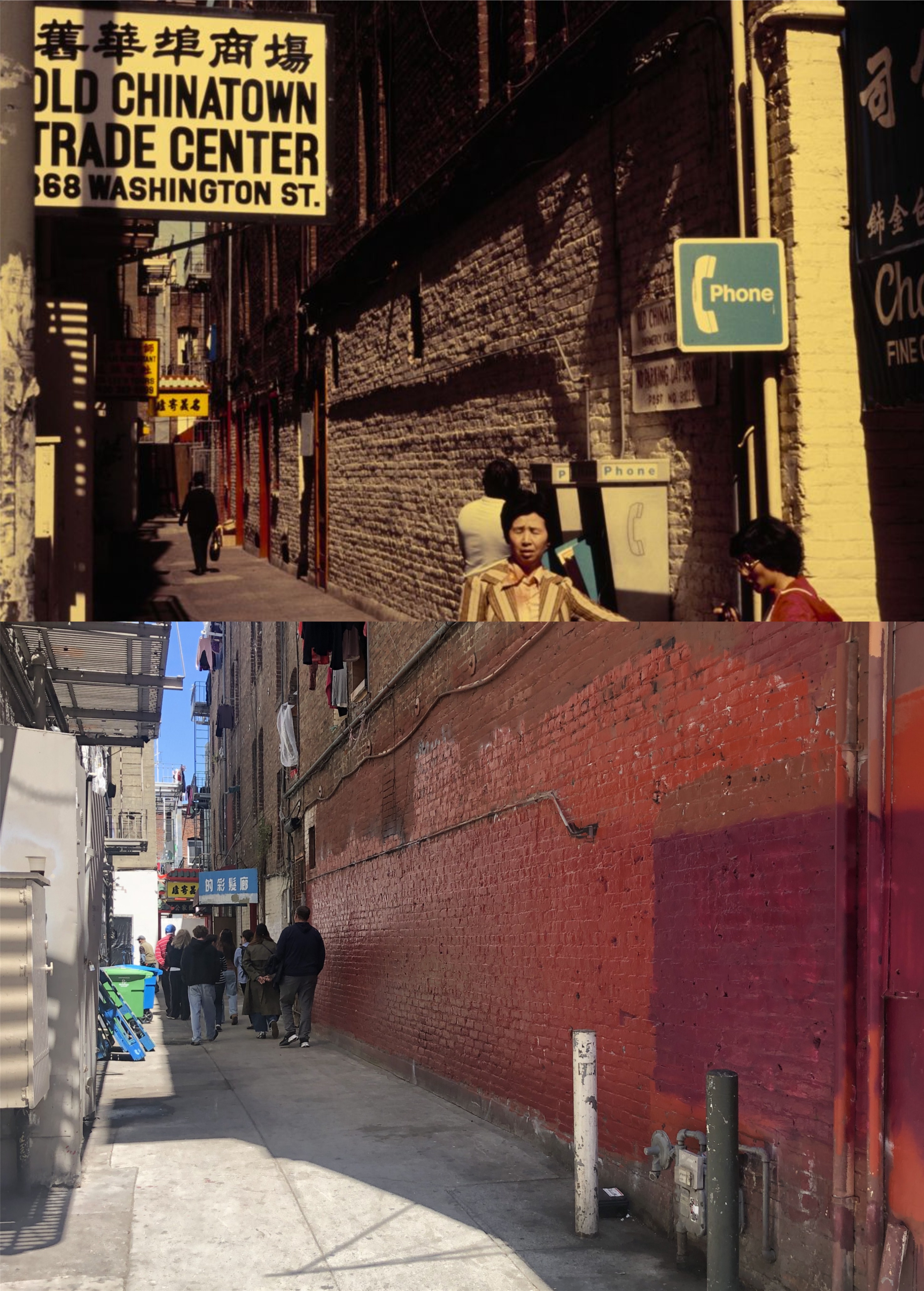
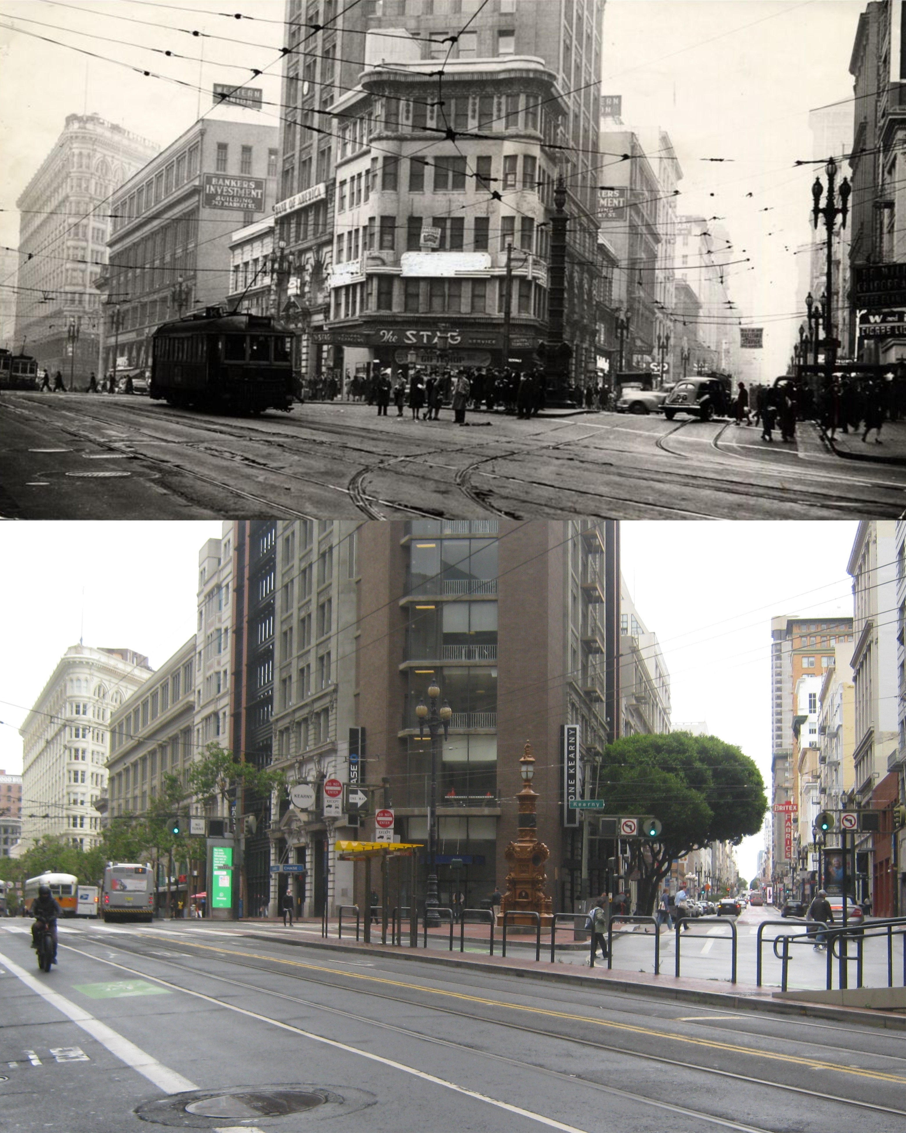
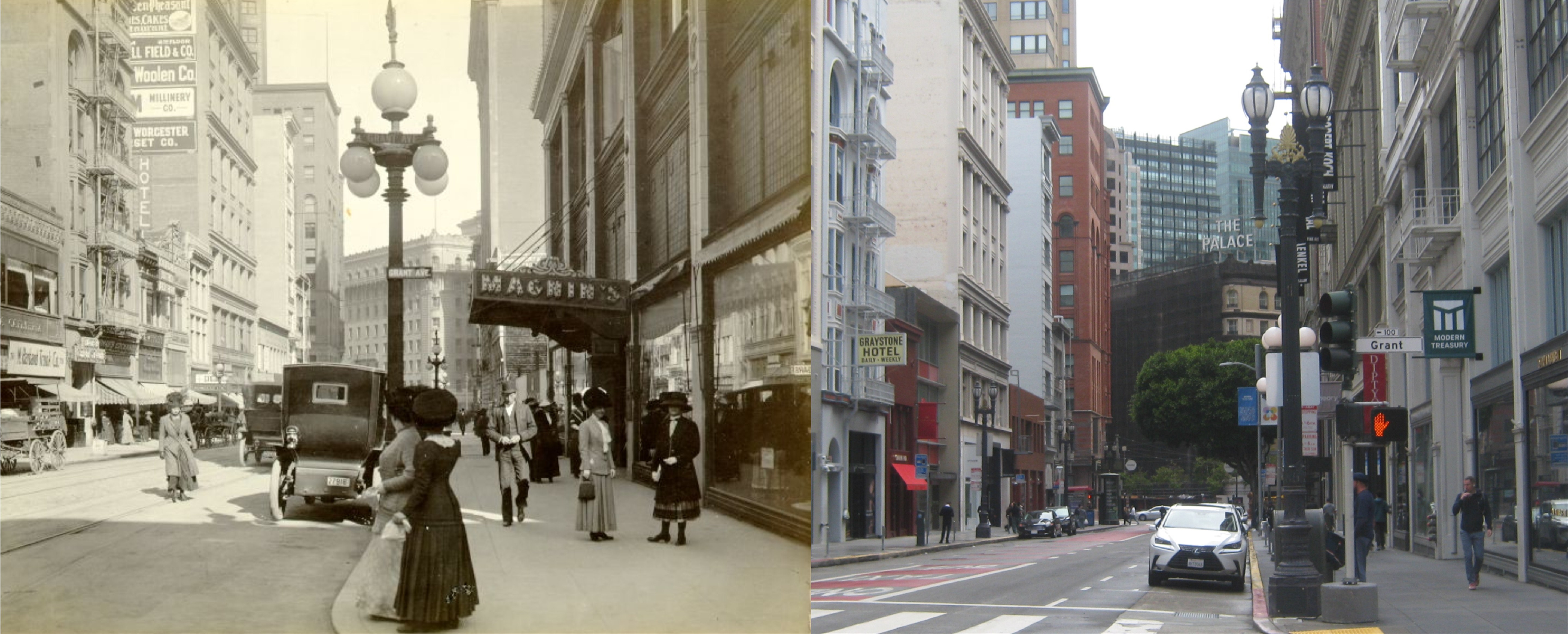
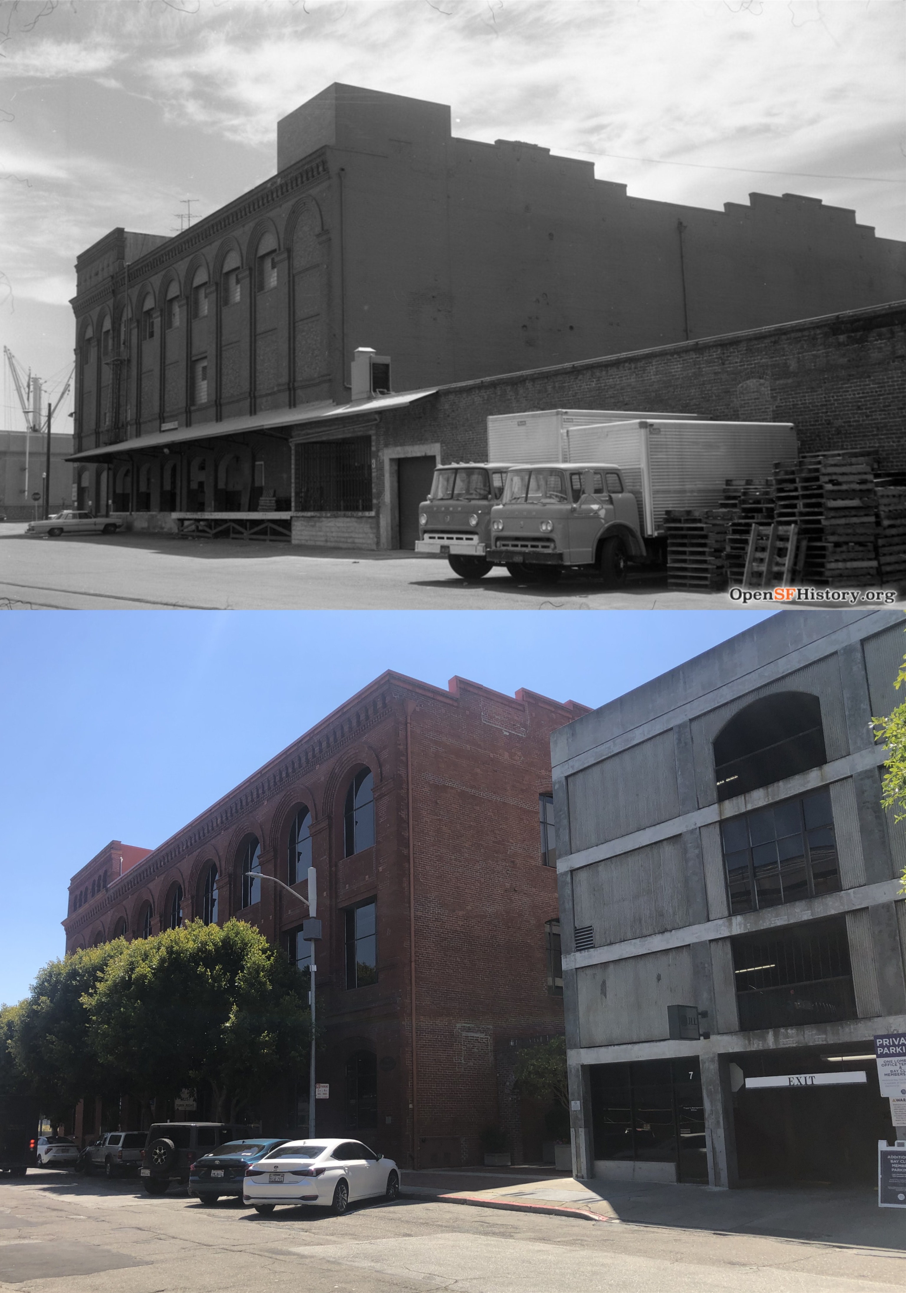
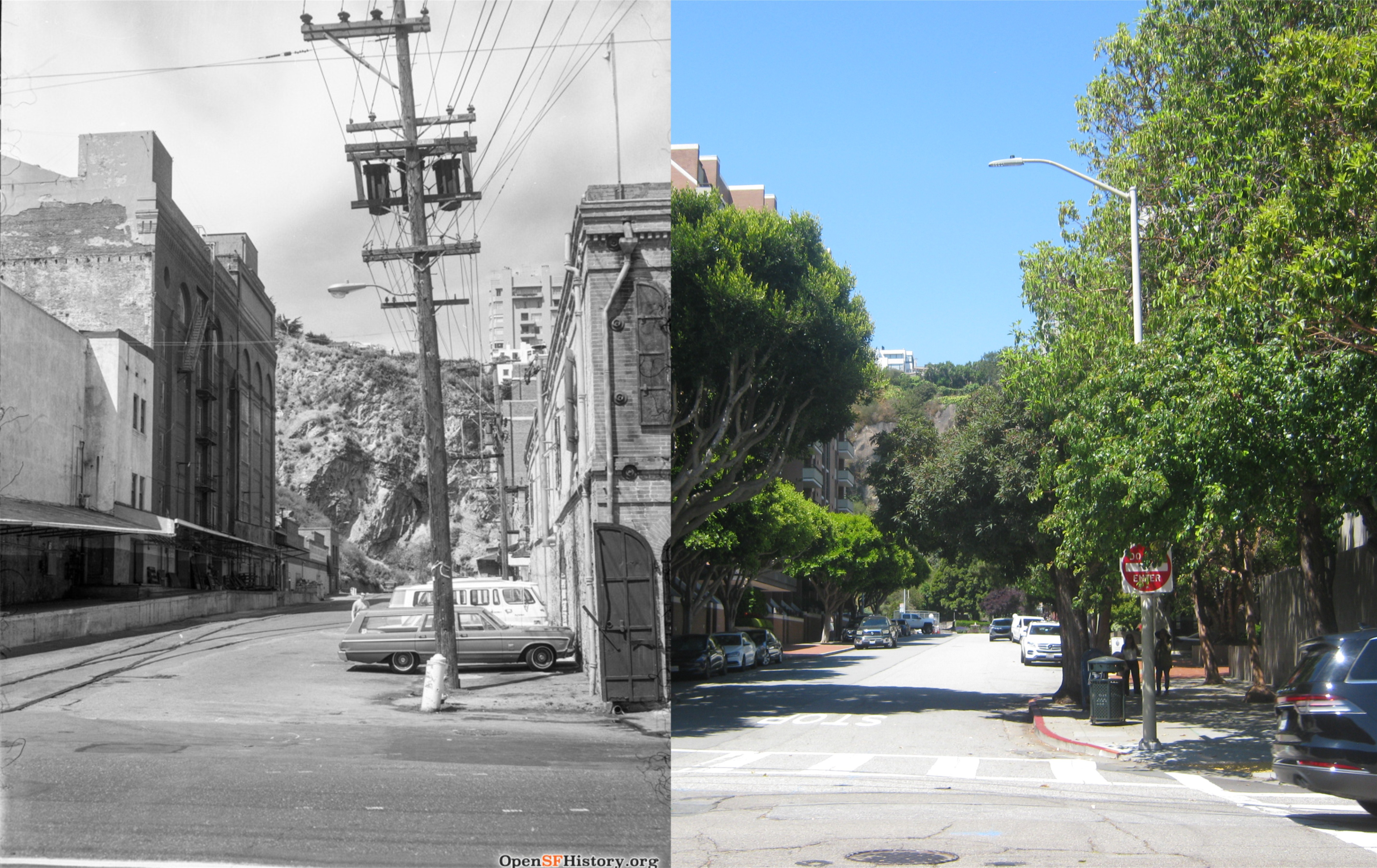
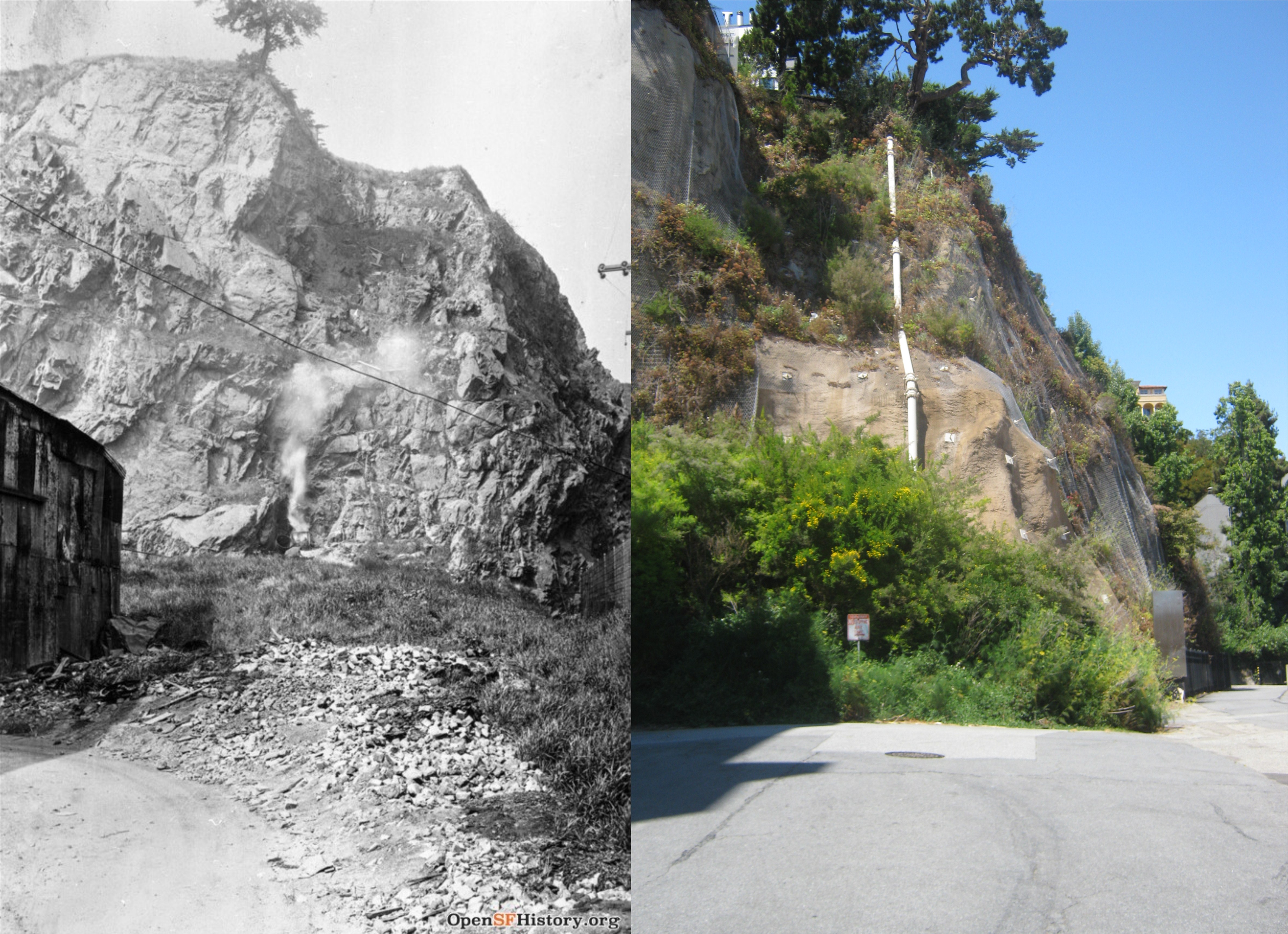
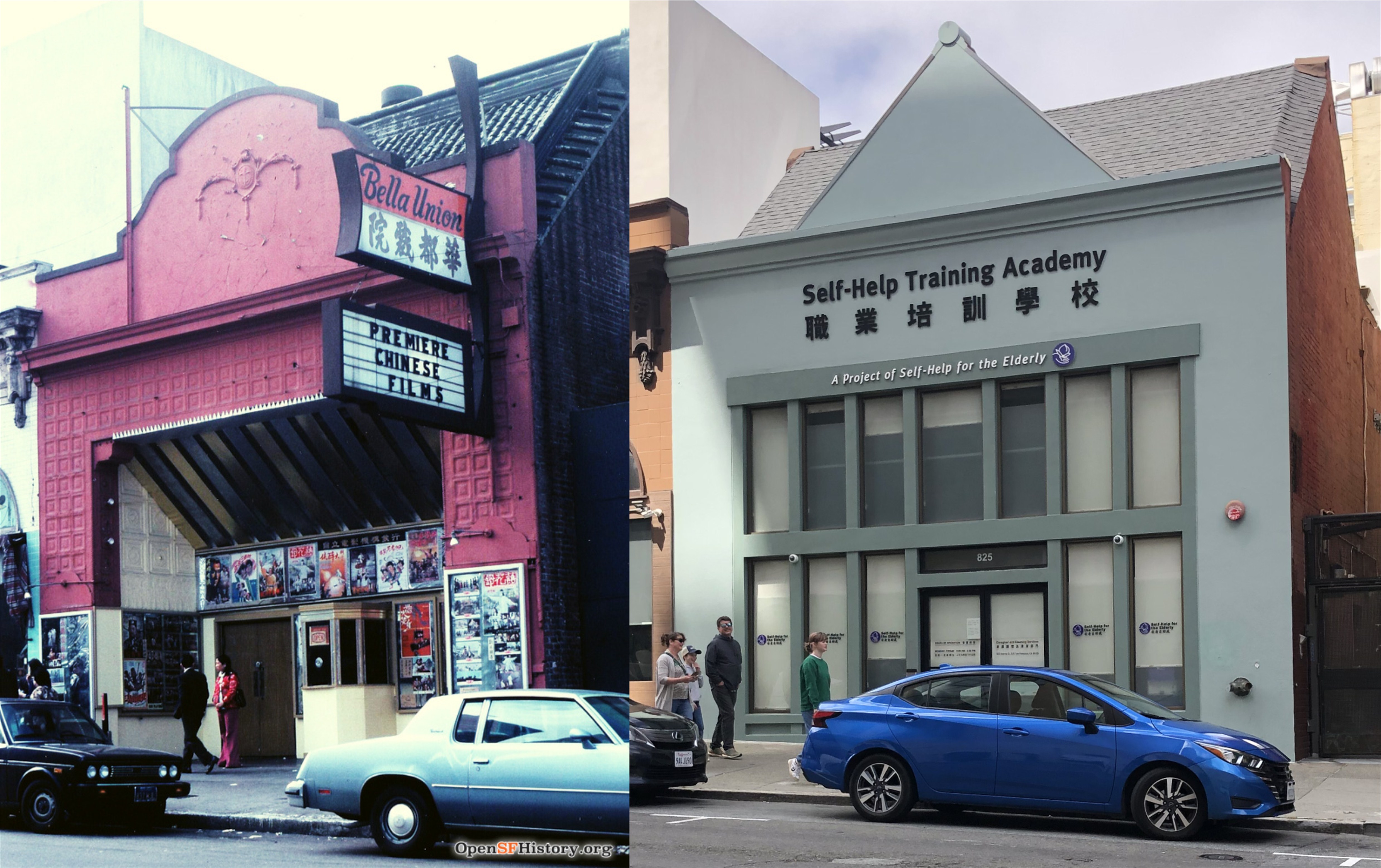
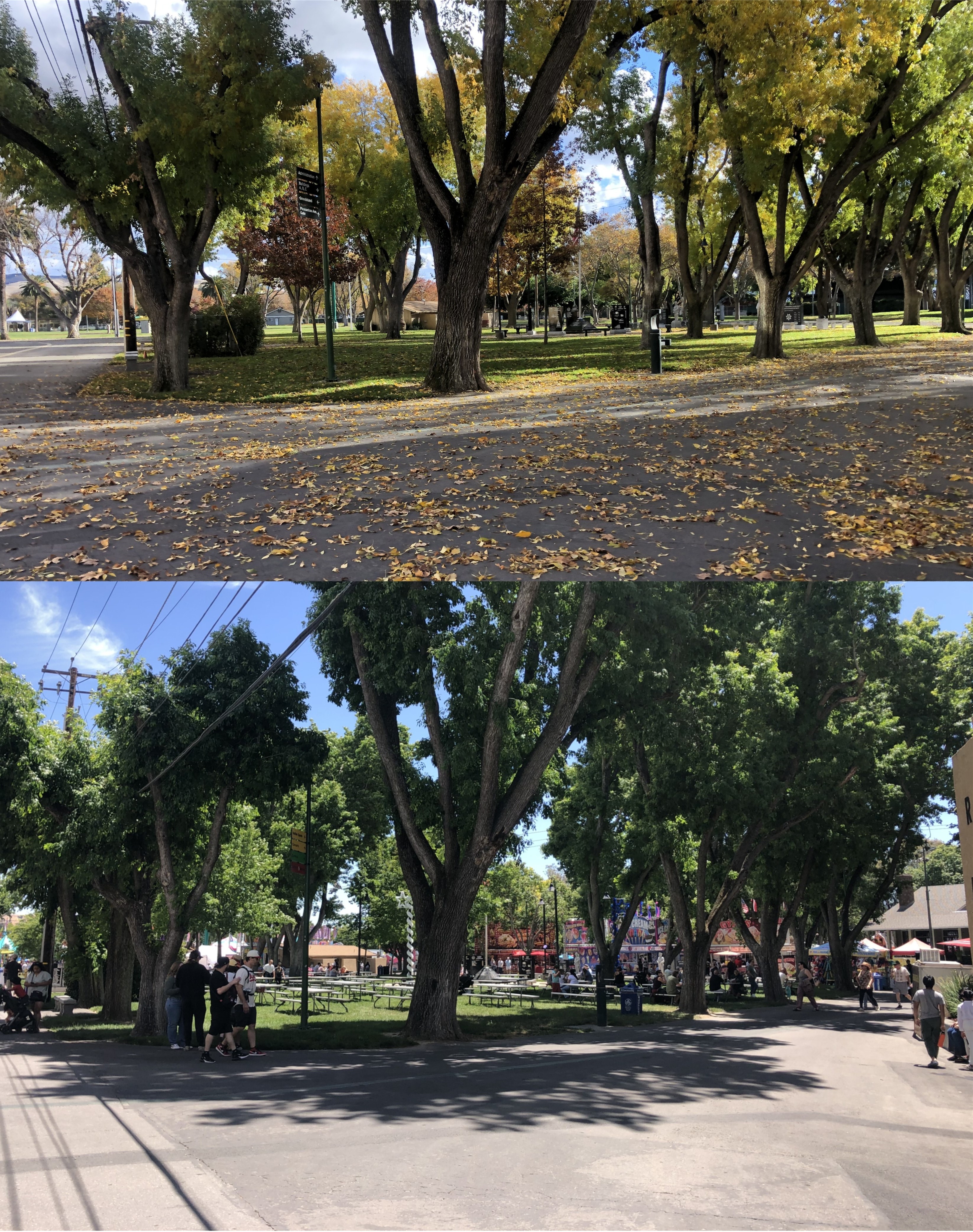
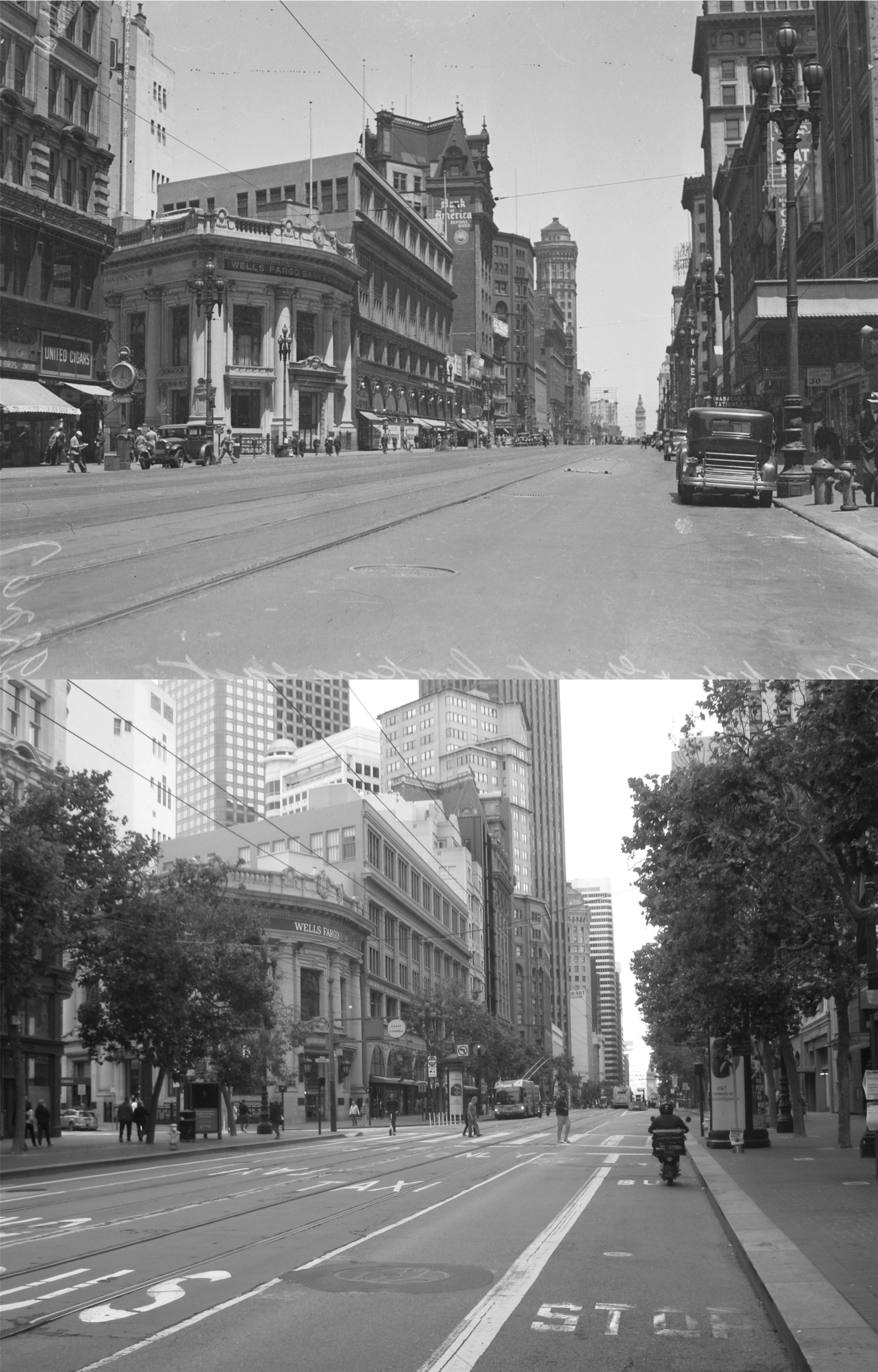
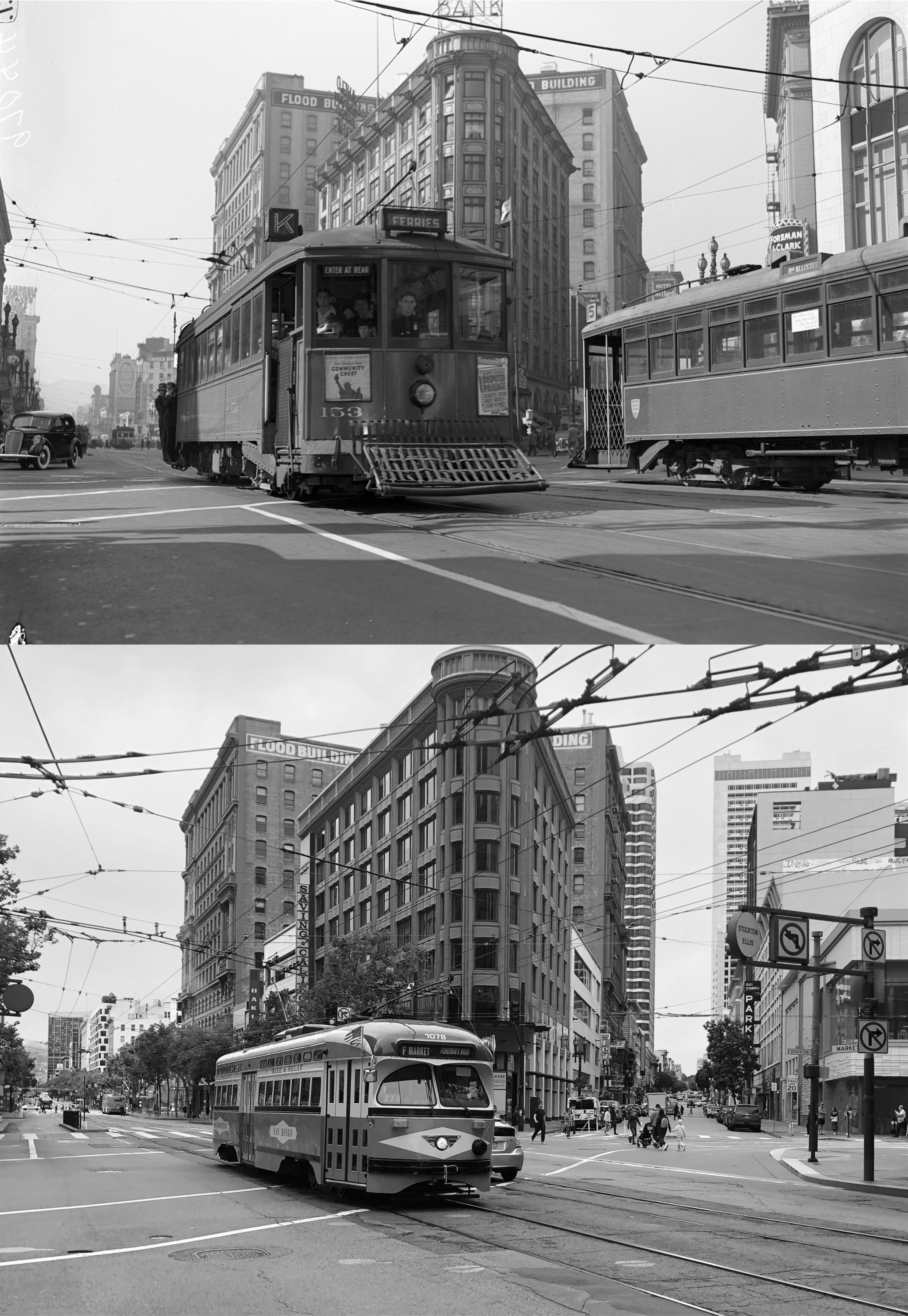
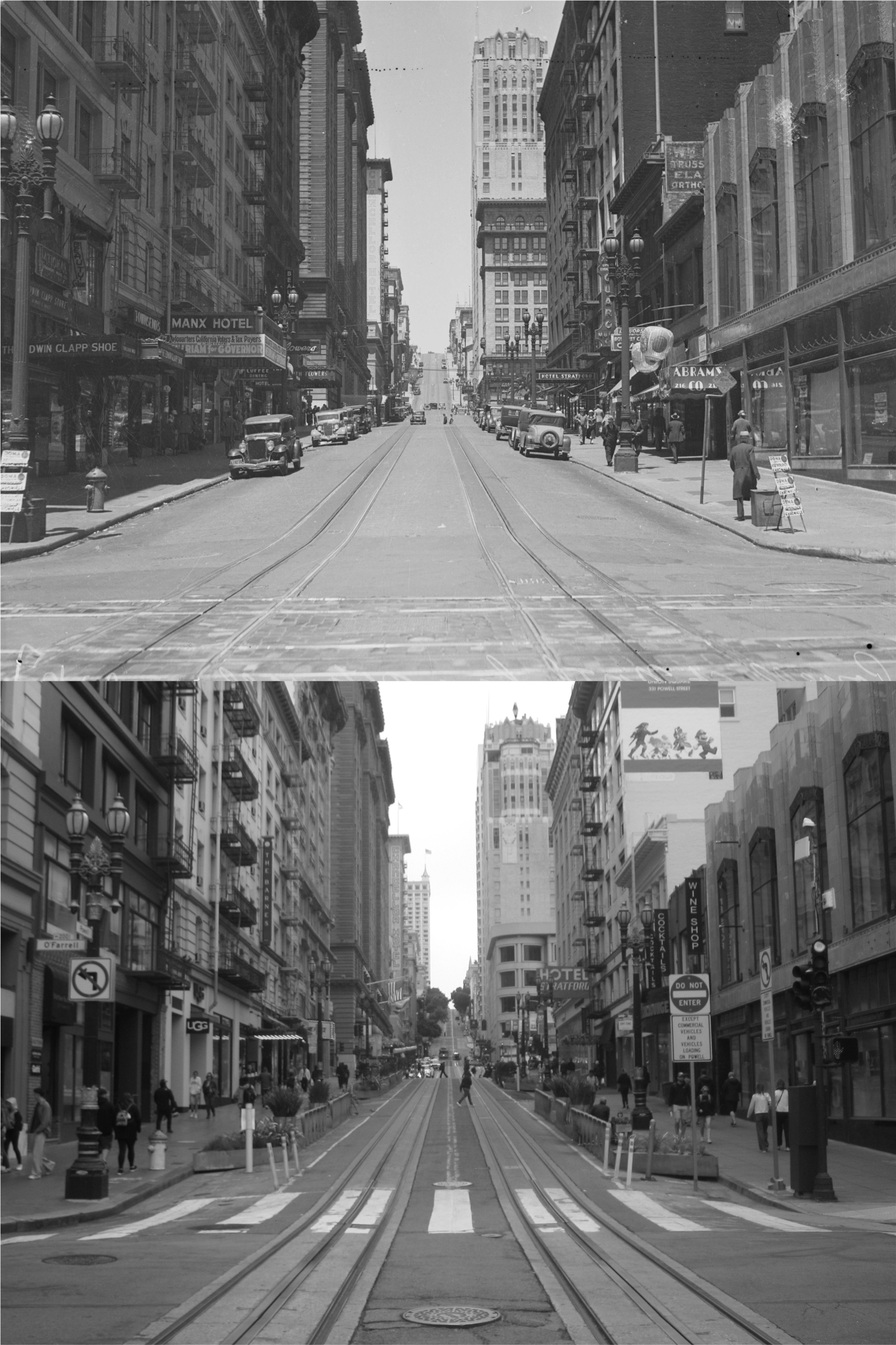
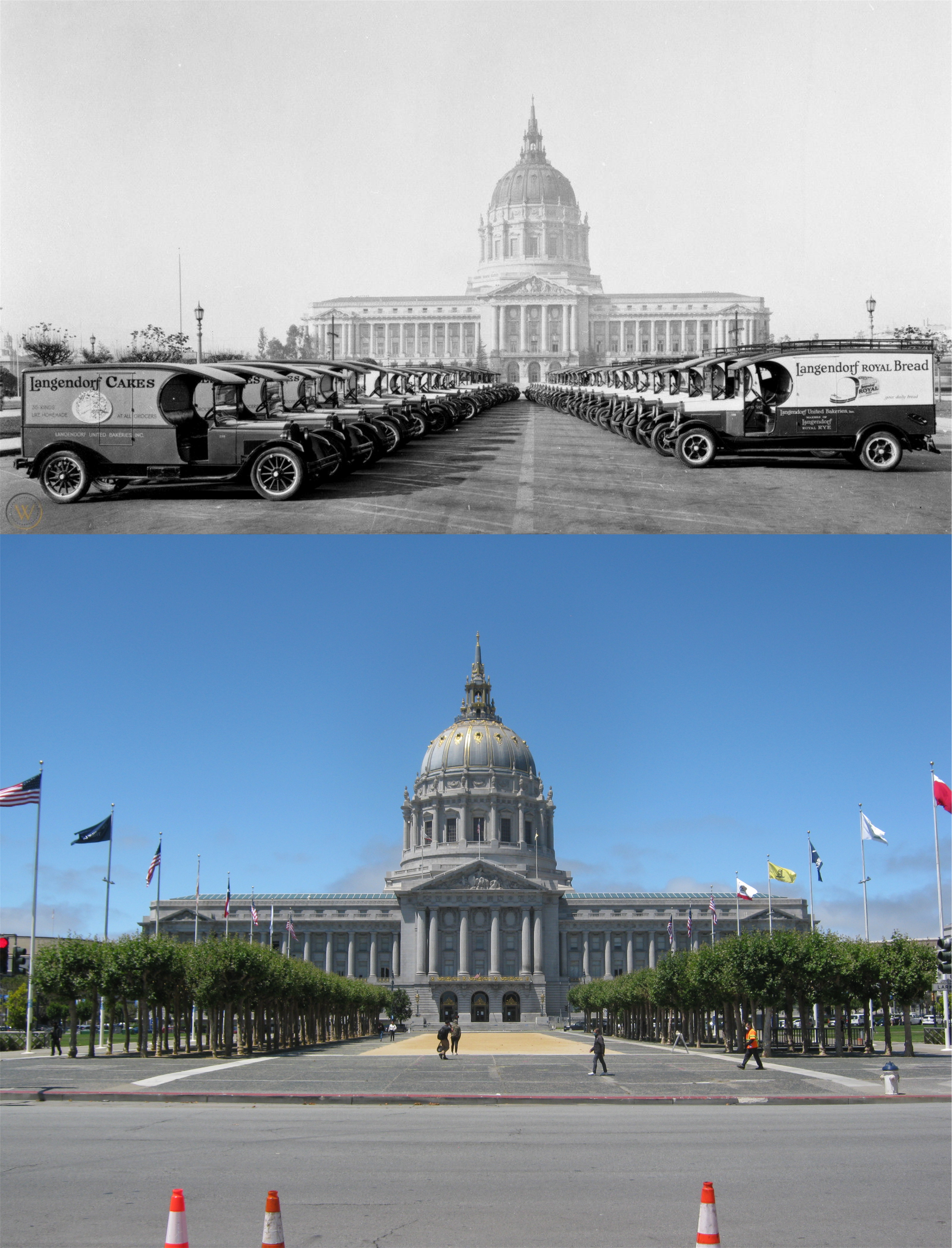
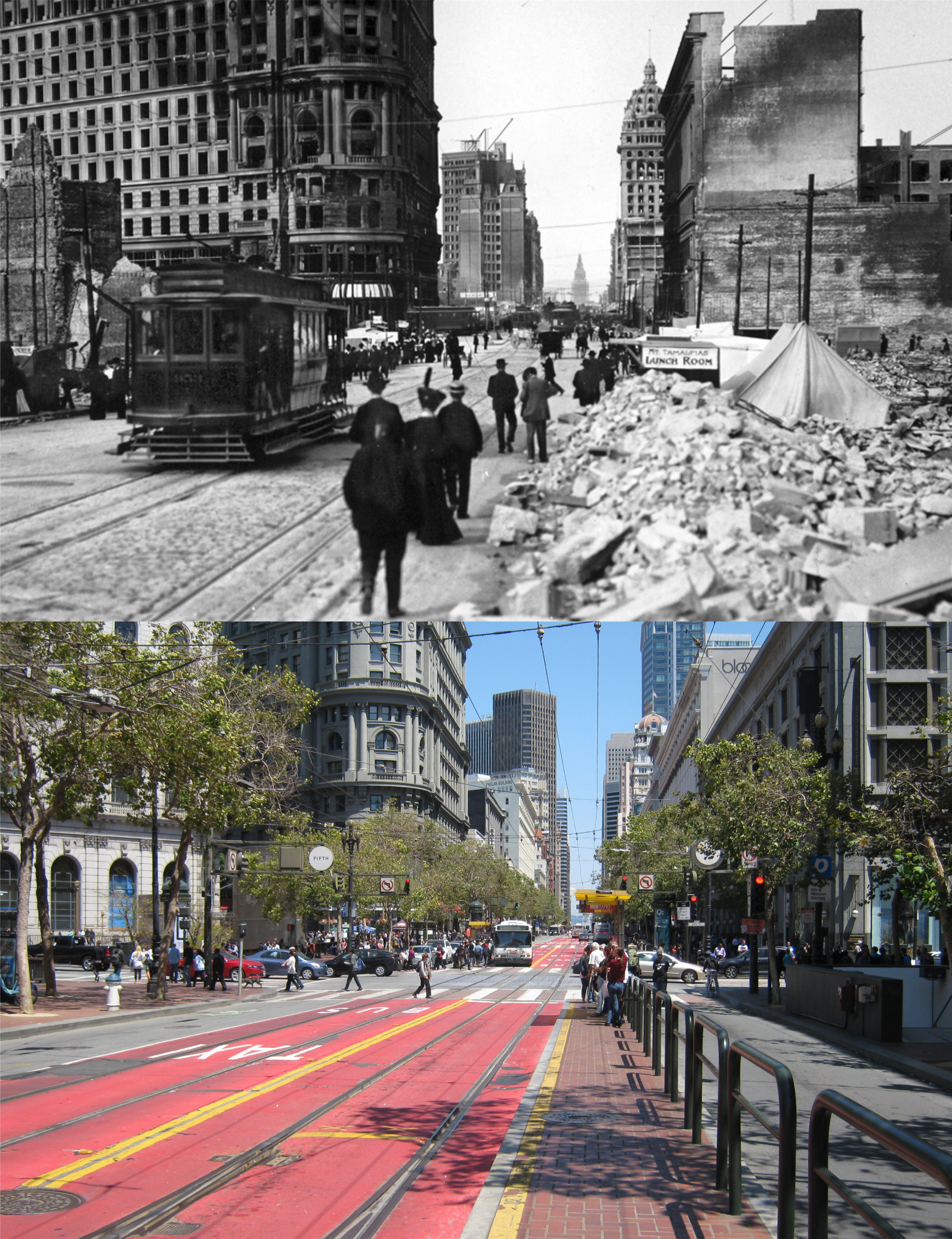
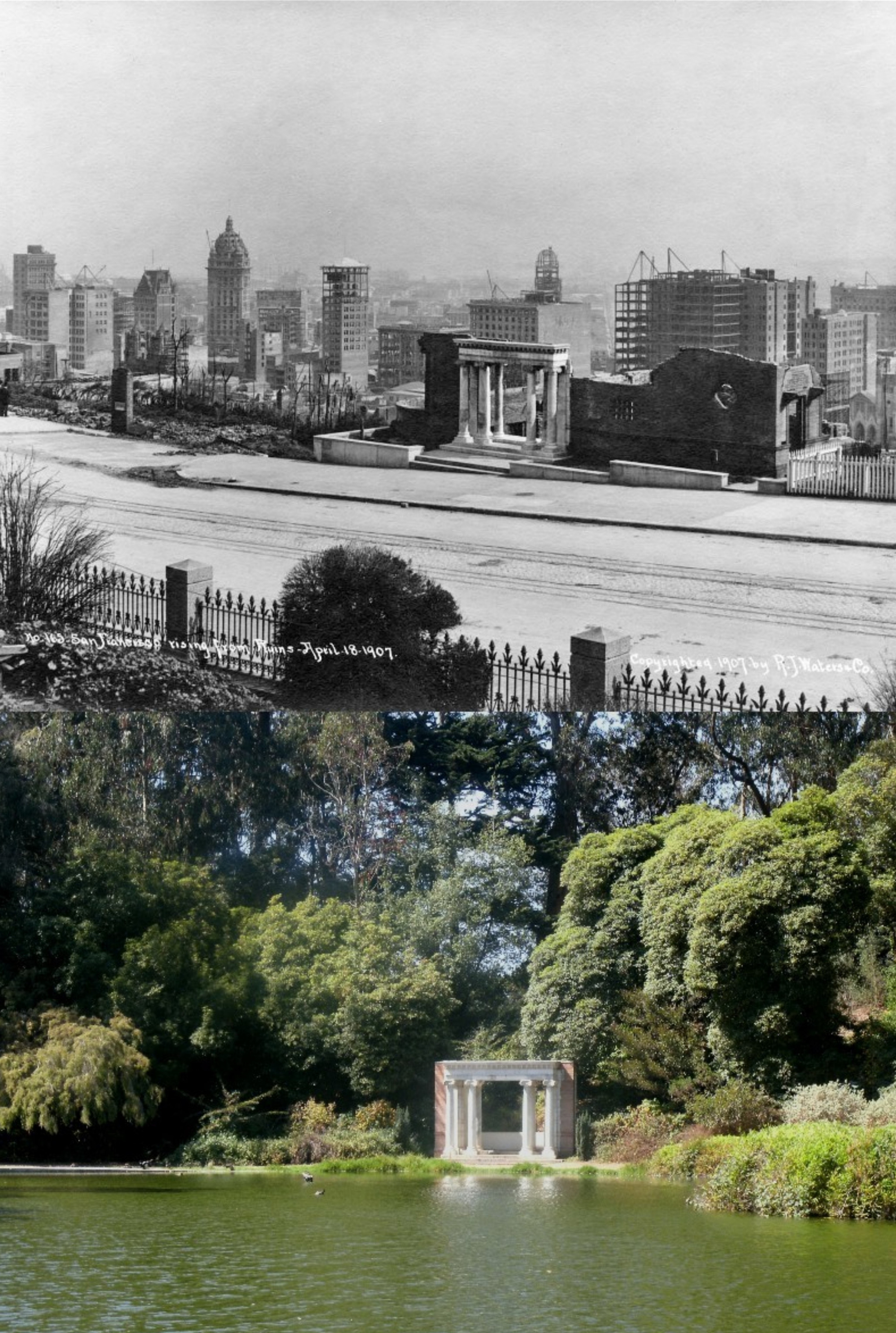
I don’t often read Miss Manners, but this one in the entertainment section of the San Francisco Chronicle recently caught my eye. It started me wondering about whether any of my photos have involved intrusion or invasion of privacy, as I don’t always pay attention to the reaction of people in some of my shots. At other times, I ask people if they would mind posing in some of my pictures, which to my recollection, has never made anyone uncomfortable. However, looking back through some of my posts I do remember a few times when my camera may not have been welcome. Still, for the most part, I think my picture taking is tactful and not invasive. Here is the Miss Manners letter and reply, and a few of my then and nows in answer to Miss Manners and her Gentle Reader. (Thumbnail images)
On the Proprieties of Public Photography
{DEAR MISS MANNERS: As a frequent tourist, I take lots of photos wherever I go. I try not to be intrusive, but it isn’t feasible to ask permission of anonymous people in public spaces, and U.S. courts have ruled that nobody has a right to privacy in such settings. Everyone carries a phone these days, and the number of people taking photos has increased exponentially as a result. Candid photos are much more interesting than posed photos or photos without people. Social realism is a movement in art and photography. I think it’s important to capture the people and settings that reflect our times. I do not sell them, but I share the best ones with friends. I avoid taking photos of people who appear to be homeless or mentally ill, because it seems exploitative. Perhaps what was once considered rude has become acceptable and prevalent. Perhaps there is a distinction between candid photos in public versus private settings among family, friends and acquaintances. In the latter case, it seems appropriate to share these with the people photographed, offer them copies and destroy any they deem offensive or unflattering. In foreign countries, I’ve encountered people who took offense at public photos, but never in the U.S.
GENTLE READER: Indeed, everyone has a camera. If you are photographing the public activity of our time, you must have countless pictures of countless people taking countless pictures — mostly of themselves. Yet Miss Manners feels obliged to tell you that there are also many in the United States who dislike being photographed in public and private gatherings, but feel forced into it by photographers who are not as sensitive to their feelings as you seem to be. Often, they are reluctant to speak up, feeling that they are being constantly captured by security cameras anyway. Prevalent, yes; but not acceptable to all. It is a matter of respect, not of law.}

I don’t think these kids on Market Street were all that thrilled about me taking their picture, but I wanted people in the match up I was doing on the Fred Lyon picture, and they just happened to wander by.

I don’t remember this officer at the Golden Gate Park Police Stables being all that excited when I asked him if I could take his picture to match it up with the 1950s picture from Images of America, but he obliged.
This was too good of a match up of people on a bench in Golden Gate Park to miss the opportunity, and I don’t remember anybody in the modern photo getting mad at me. I didn’t worry about the feelings of the people in the older picture
. 
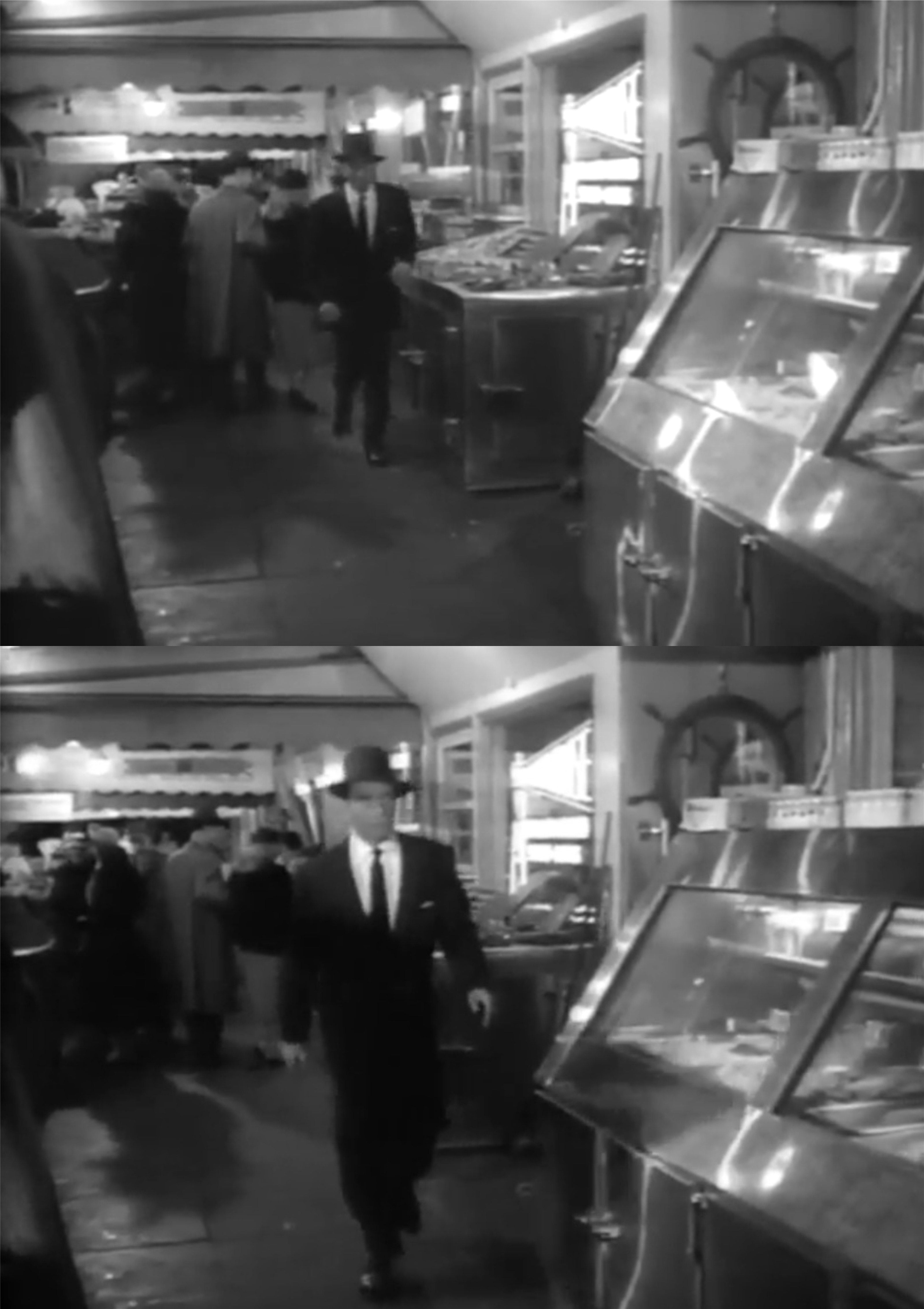
In my eagerness to get my picture, I may have missed a mugging going at Kezar Stadium. Hope not.
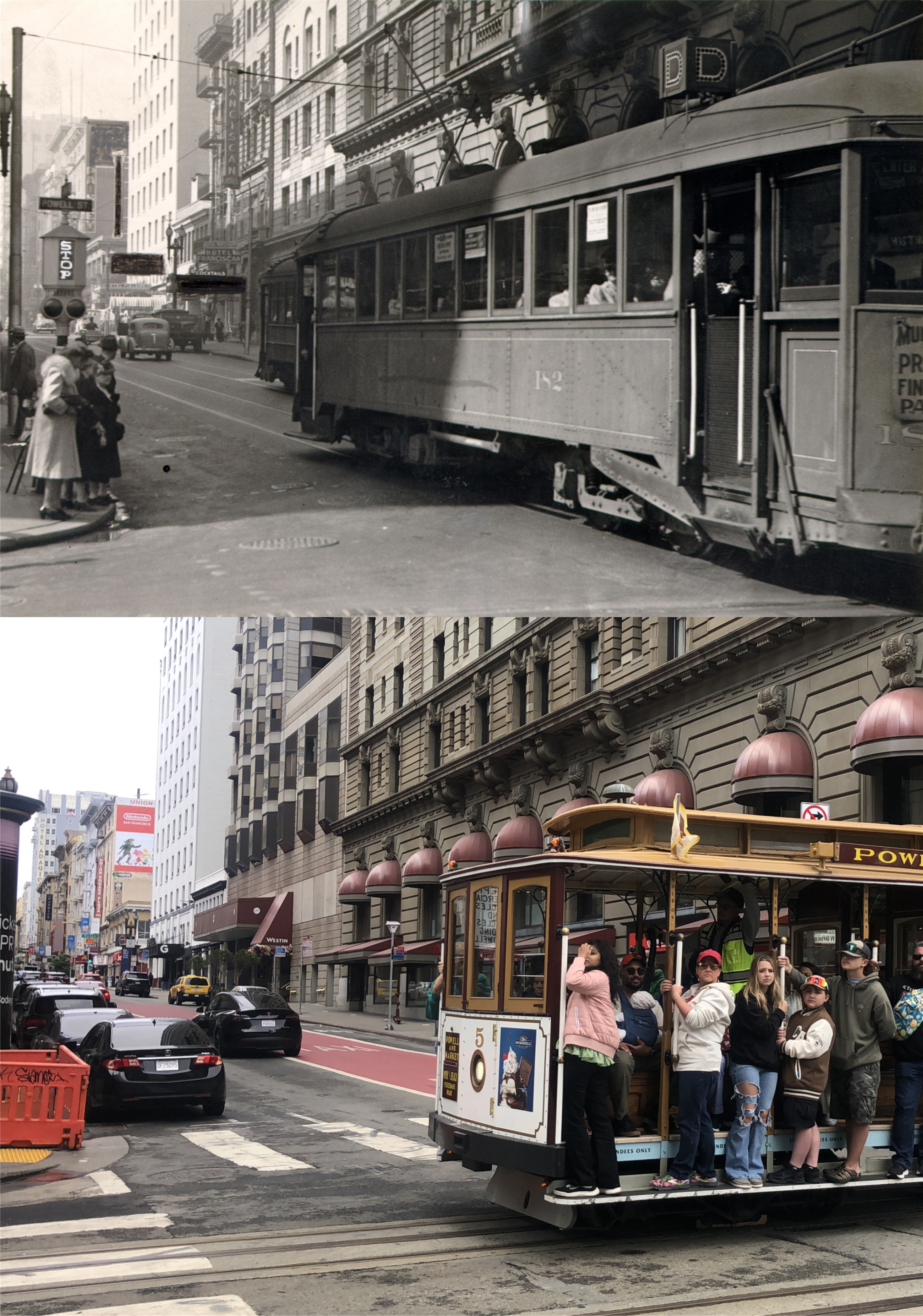
You’ll usually get a wave or a smile when you take a picture of people on a passing cable car.

I don’t remember much about this slide picture I took in 1985 at the foot of the Hyde Street Pier, but I do remember that I thought the kid looked pretty cool just sitting on the post watching the 1985 traffic, and it’s one of my favorite pictures.

Haight and Cole Street in 1967: Occasionally, I share what I’m doing with people who get in my picture, and maybe the girl in the crosswalk with blue-green hair would have been interested if I had showed her the picture of Janis on the same corner when she past by, but I didn’t.

Sometimes, I’m not paying attention to the people in my line up, and then I notice things, like the pretty girl with a Victoria’s Secret bag crossing Ellis Street at Powell, when I look at my photo later. (Peter Stratmoen)
And then, there are people who don’t mind if I asked them if I can take their picture, like these three sets, and that makes me feel good. These two were kind enough to pose for me when I showed them the older photo of Fisherman’s Wharf Lagoon. The girl was named Joyce, but I couldn’t remember the fellow’s name. I hope they were able to see the post.

This fellow at Fisherman’s Wharf didn’t mind posing for me, (here he goes again with that corny line) he wasn’t crabby about it at all!
Tricia, a girl I met in the Haight on the day after Christmas in 2020, was kind enough to pose for me holding a photo taken at Haight and Ashbury Streets in 1967. She even showed me where Jimi Hendrix lived on Haight Street for awhile.
Still, there are some who are not that happy to see me, like this girl on Haight Street. She was a little concerned about why I was taking a picture of where she lives. When I went to show her the photo from Vintage Everyday I was updating, she just went back inside and closed the gate. Oh, well, maybe it was her mom in the vintage photo.
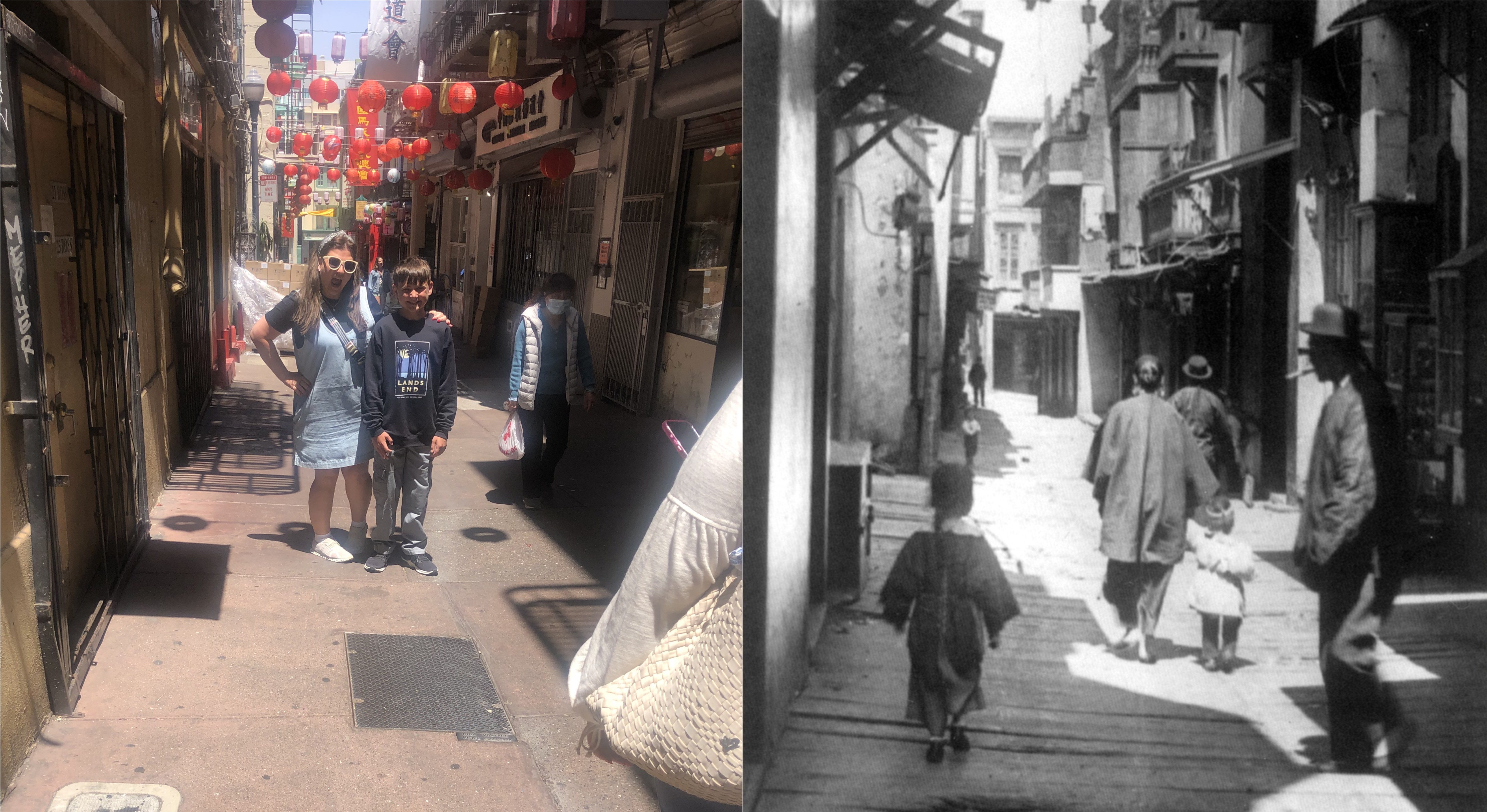
And sometimes, when you know you’re probably intruding, you just have to pretend that you’re taking a picture of something else, and look for a picture later on that closely matches yours. (opensfhistory.org)


