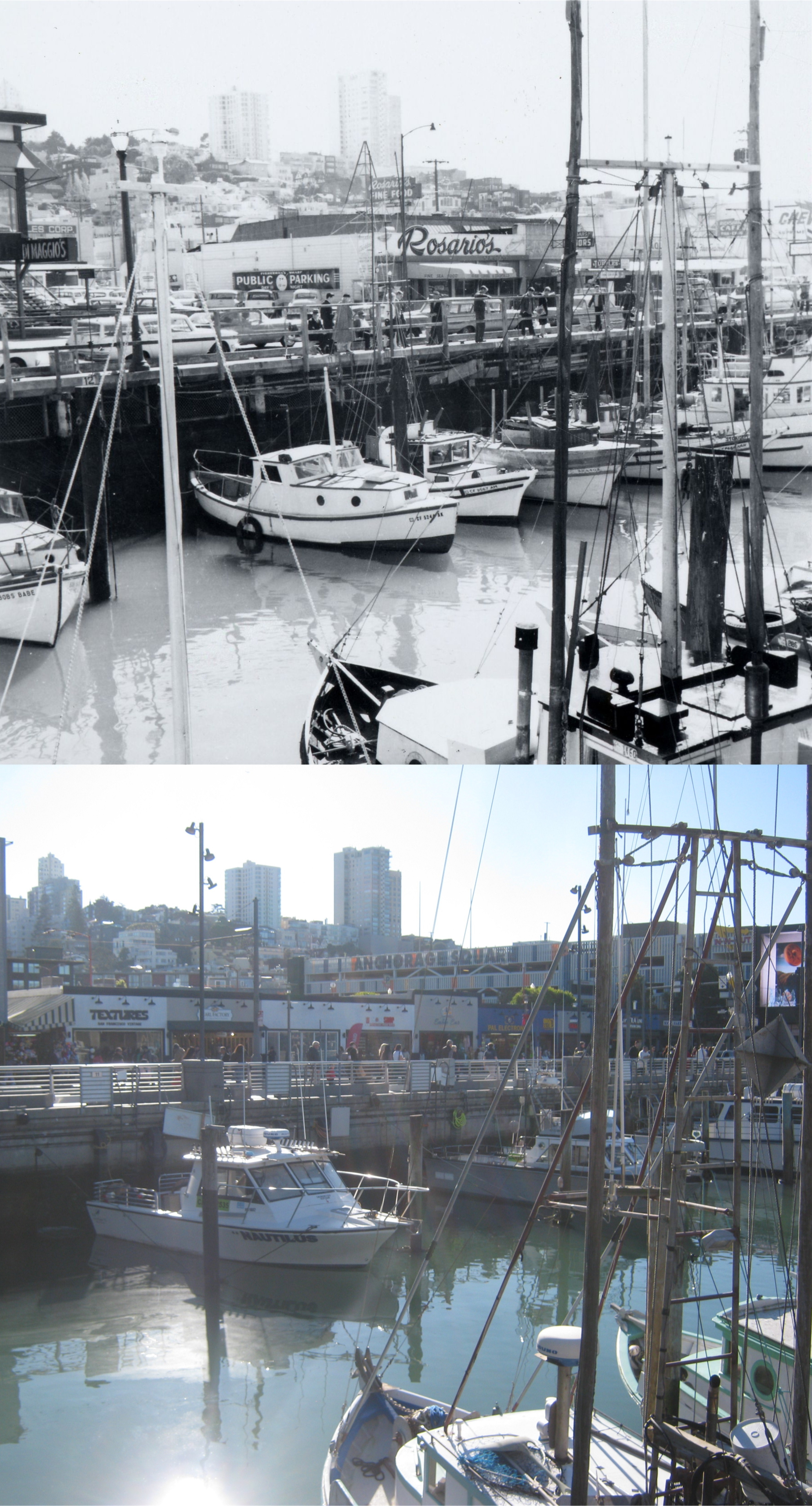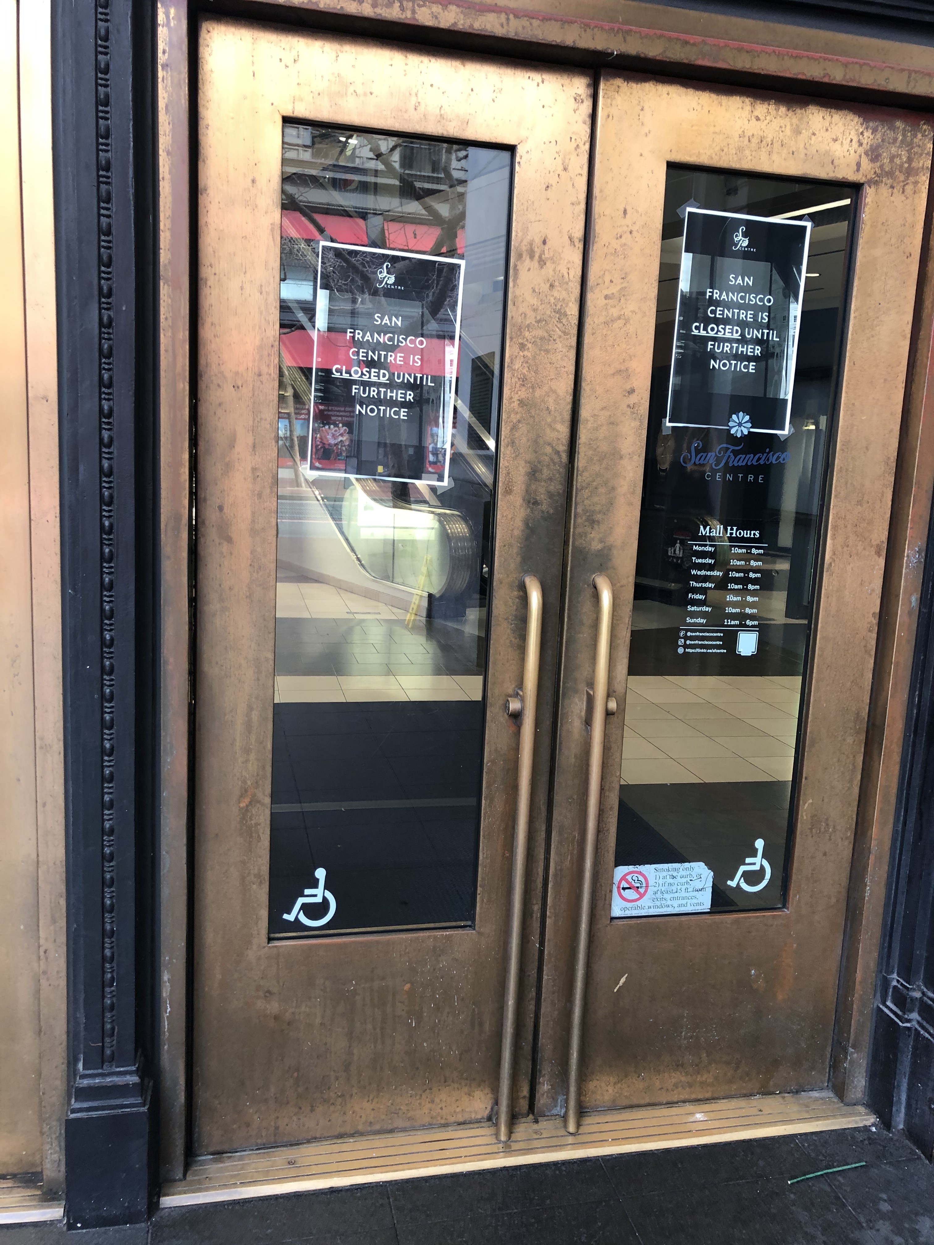
Yesterday, Sunday, I had planned to visit the City Centre Mall in the old Emporium Department Store Building before it’s scheduled closure on Monday. However, on Saturday, the morning news was that the Centre, San Francisco’s largest indoor mall, would close that Saturday, rather than Monday. I went over there anyway on Sunday, in case the news wasn’t accurate, but alas, alack, and Alaska, the old department store building was locked up, and as empty as the Cliff House. So, I crossed Market Street to Powell to see if the cable cars were running. They were, and the line was jaw-dropping; there was only about ten people in line, and to me, that’s jaw-dropping! I figured that it was a good time to take another ride on America’s only moving National Monument to the California Street Cable Car Line, and ride that line down California Street to Market Street near the Ferry Building. This turned out a much better outing than visiting a near empty mall, no matter how famous the old building is. (Thumbnail images)
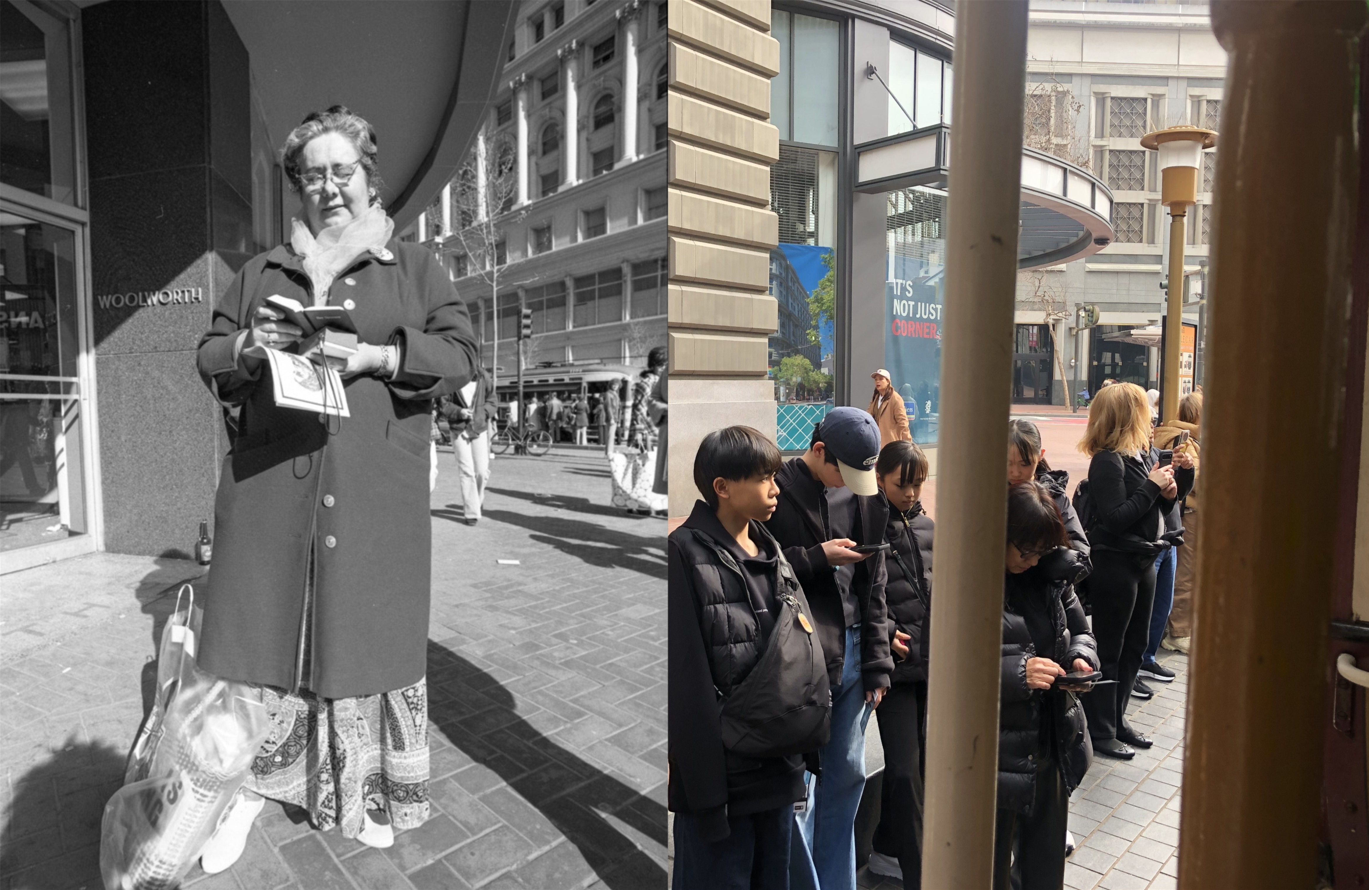
The ten or so people in line in front of me for the cable car wanted to catch the next one going to Hyde Street after this one, so I got right on. As we took off, I decided to take some pictures along the way, and try to match them up with vintage pictures near the same locations when I got back to the office; I call these “now and thens”, rather than “then and nows”. There is no better website on the internet for vintage San Francisco pictures than opensfhistory.org, where I found these vintage photos. As we took off from Market Street at Powell, I thought to myself that you don’t see as many street preachers at this location anymore; they’ve probably given up on me anyway. The vintage picture is from 1974.
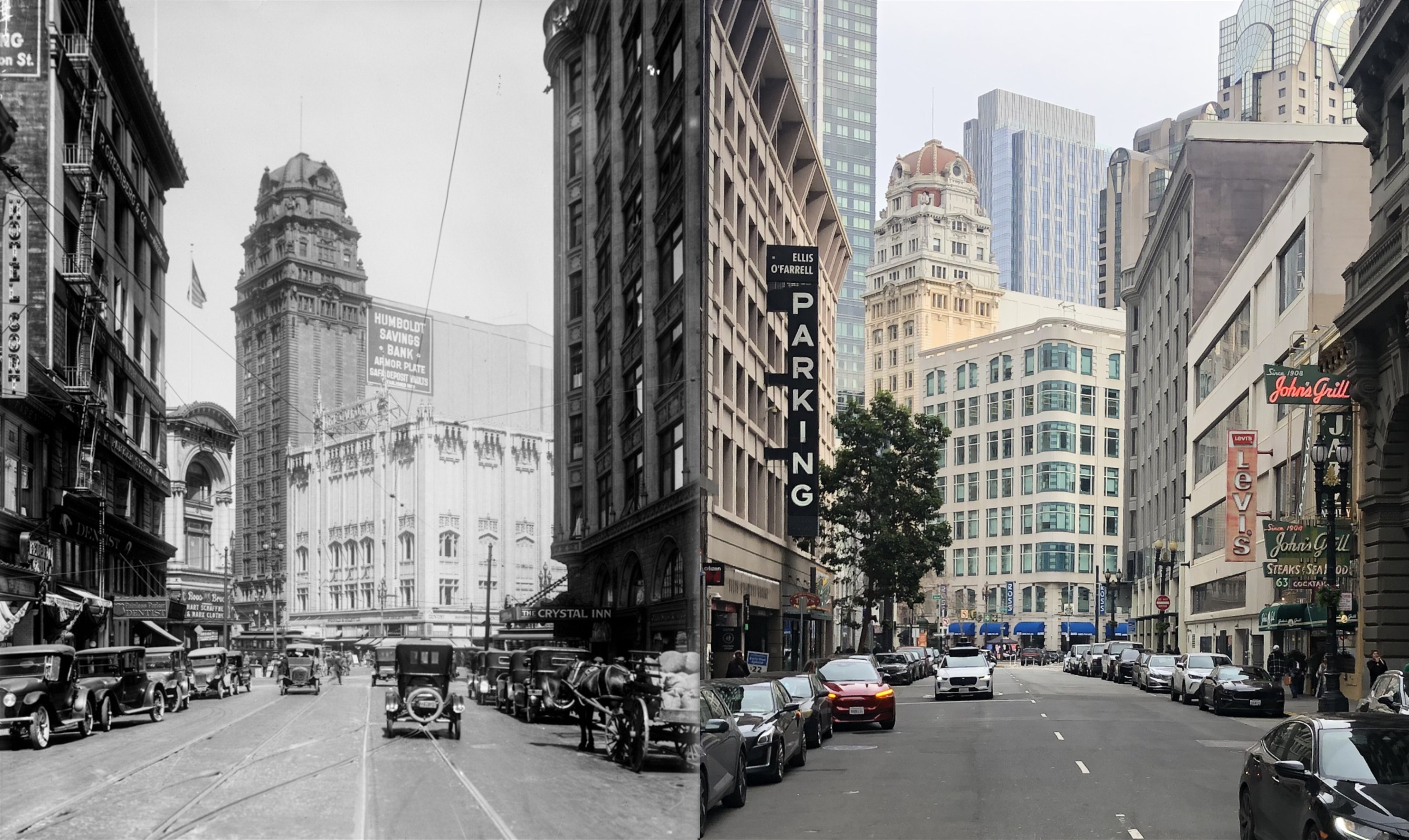
Looking down Ellis Street toward the Humboldt Building in 1922: I cropped my picture a little further to the right to get John’s Grill in.
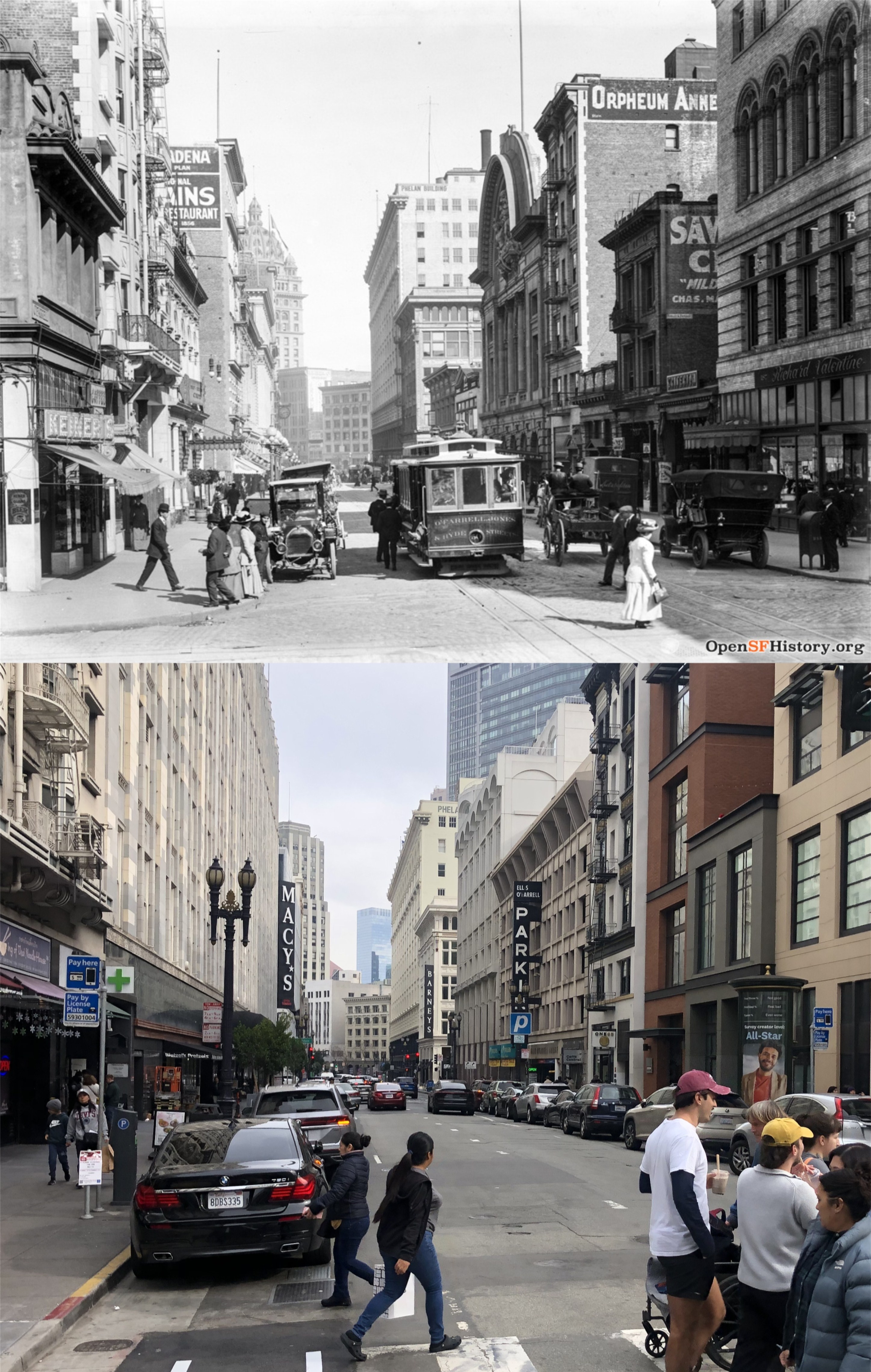
Looking down O’Farrell Street, circa 1912: The crowned Call Building, and the remodeled Call Building is on the left in both photos.
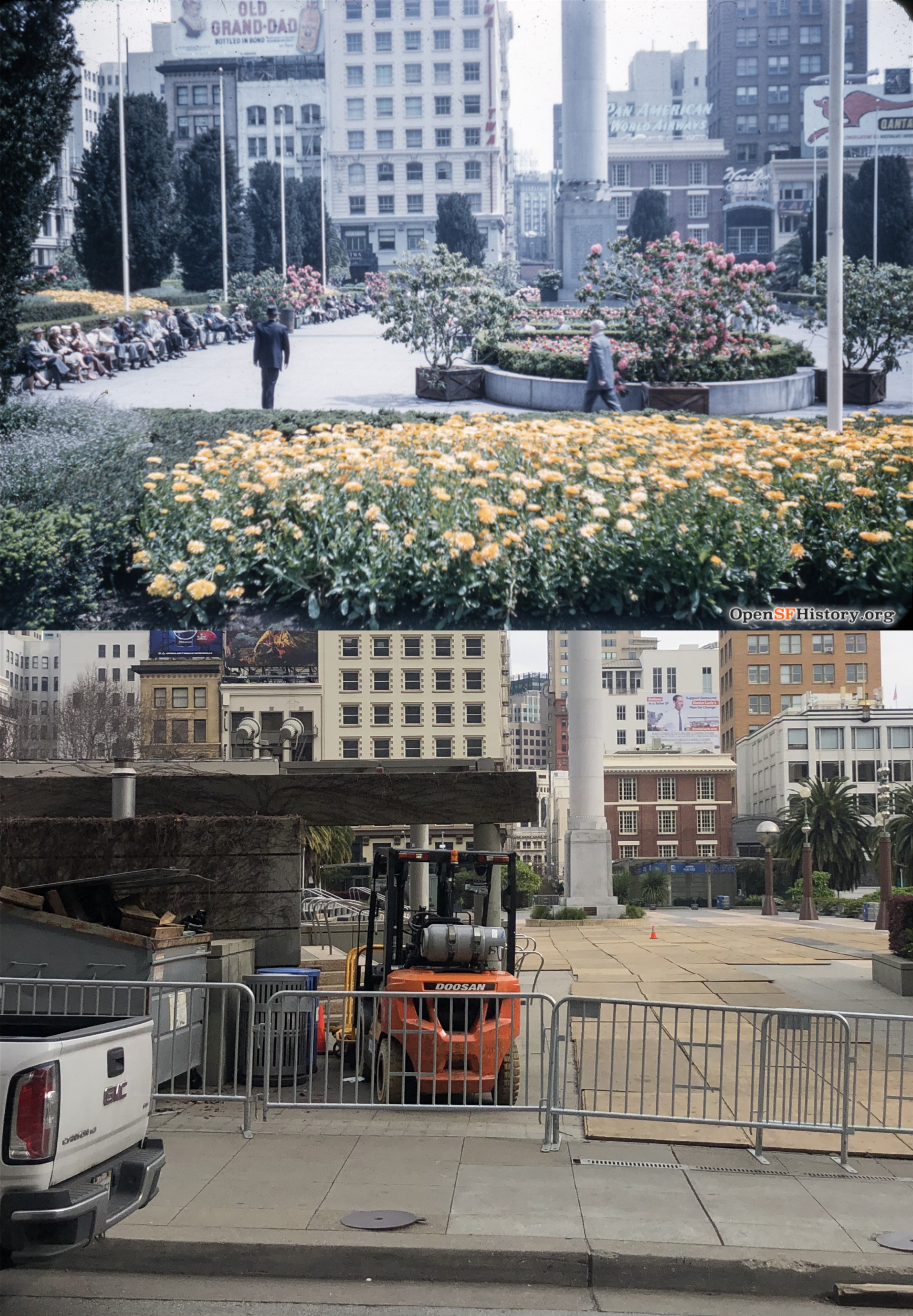
I didn’t get that bad of a line up with this 1957 photo as we passed by Union Square.
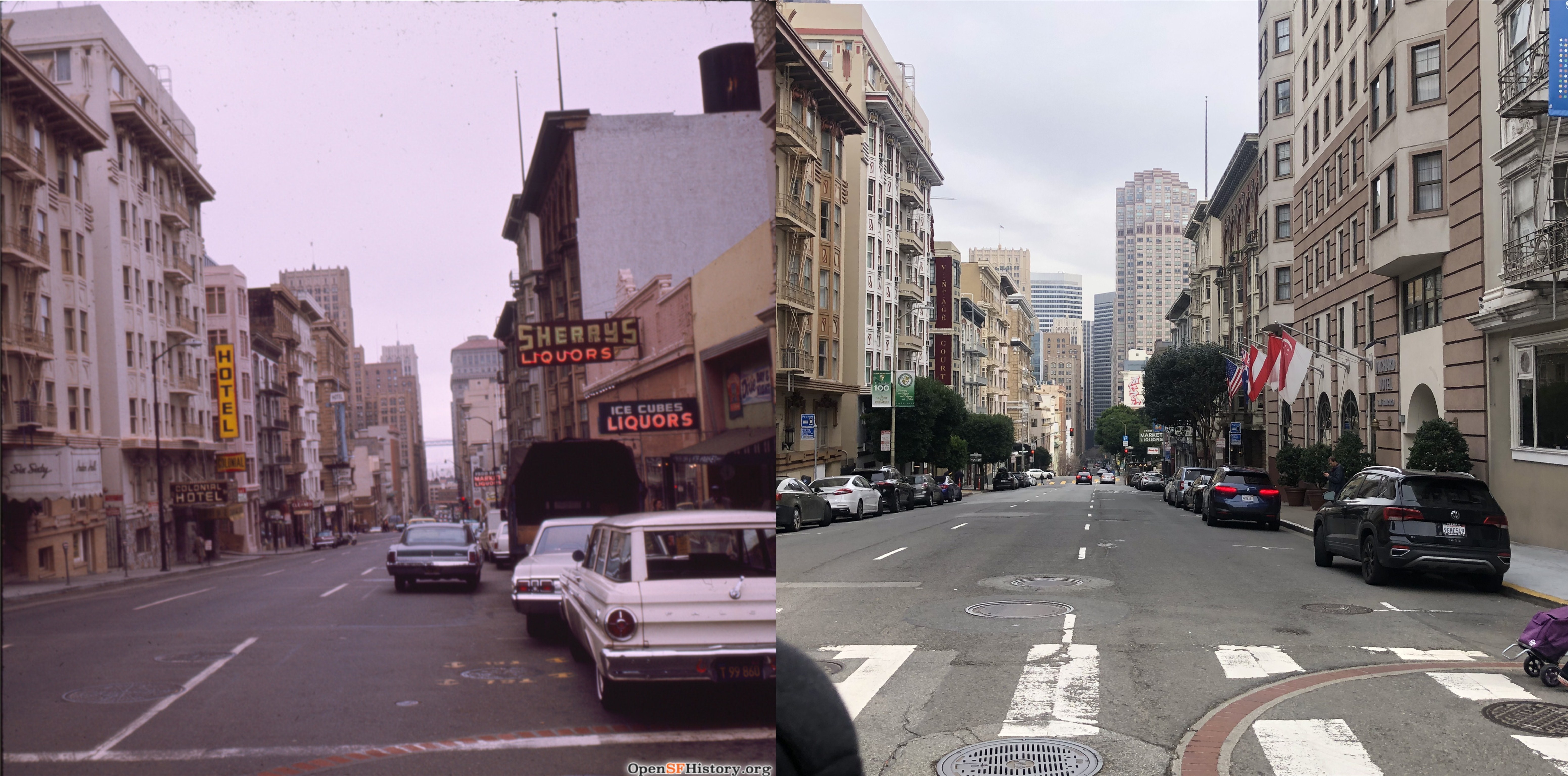
Looking down Bush Street in 1968: You can see the Russ Building on the left in both pictures. Hmm, Sherry’s Liquors with Ice Cubes and Liquors, and further down Bush Street was another Market with Liquors. Looks like this might have been a good spot to get drunk back then!
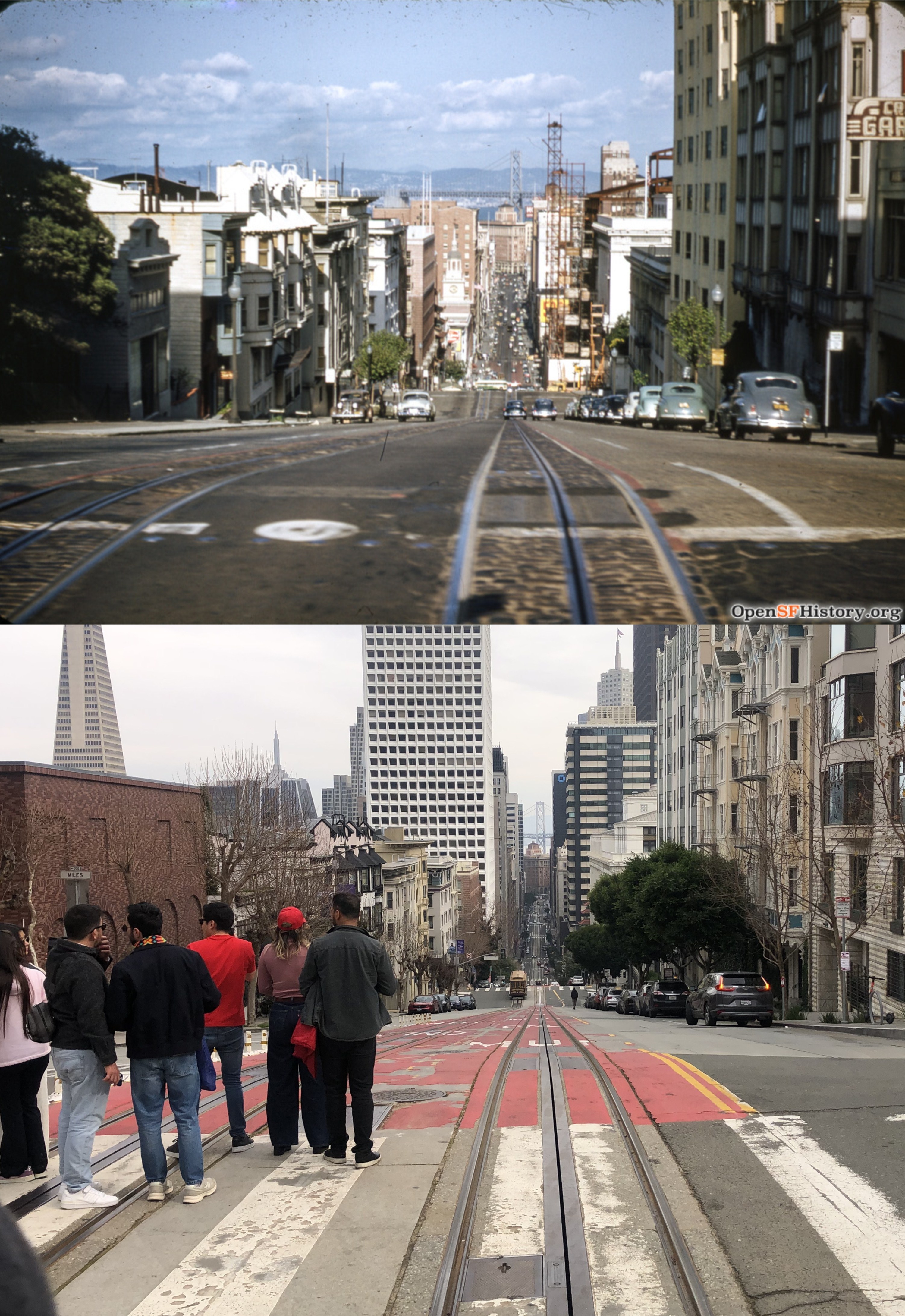
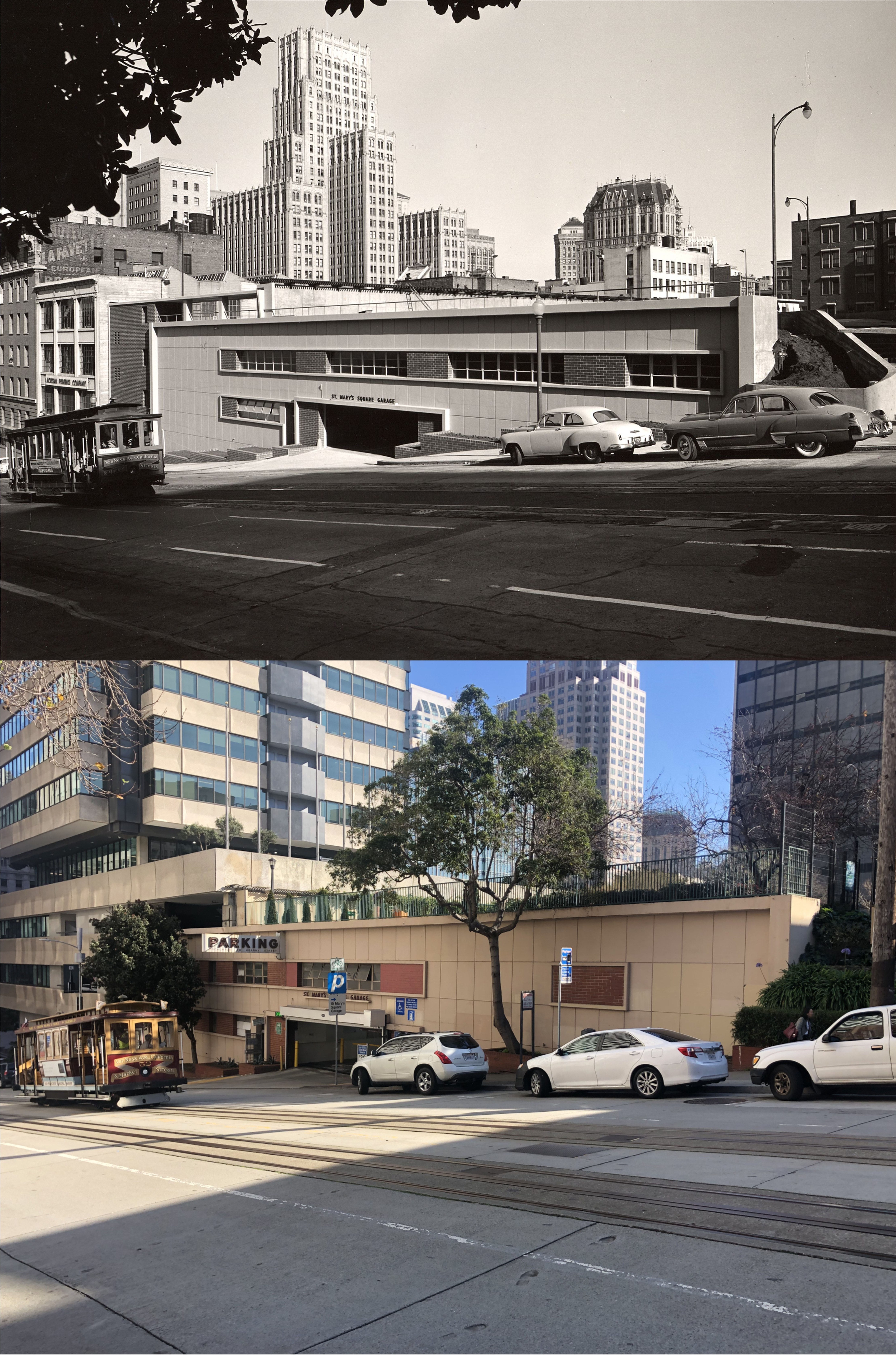
At California Street I switched to the California Street Cable Car Line as we plunged down Nob Hill from Powell Street. The vintage picture is from 1952
. 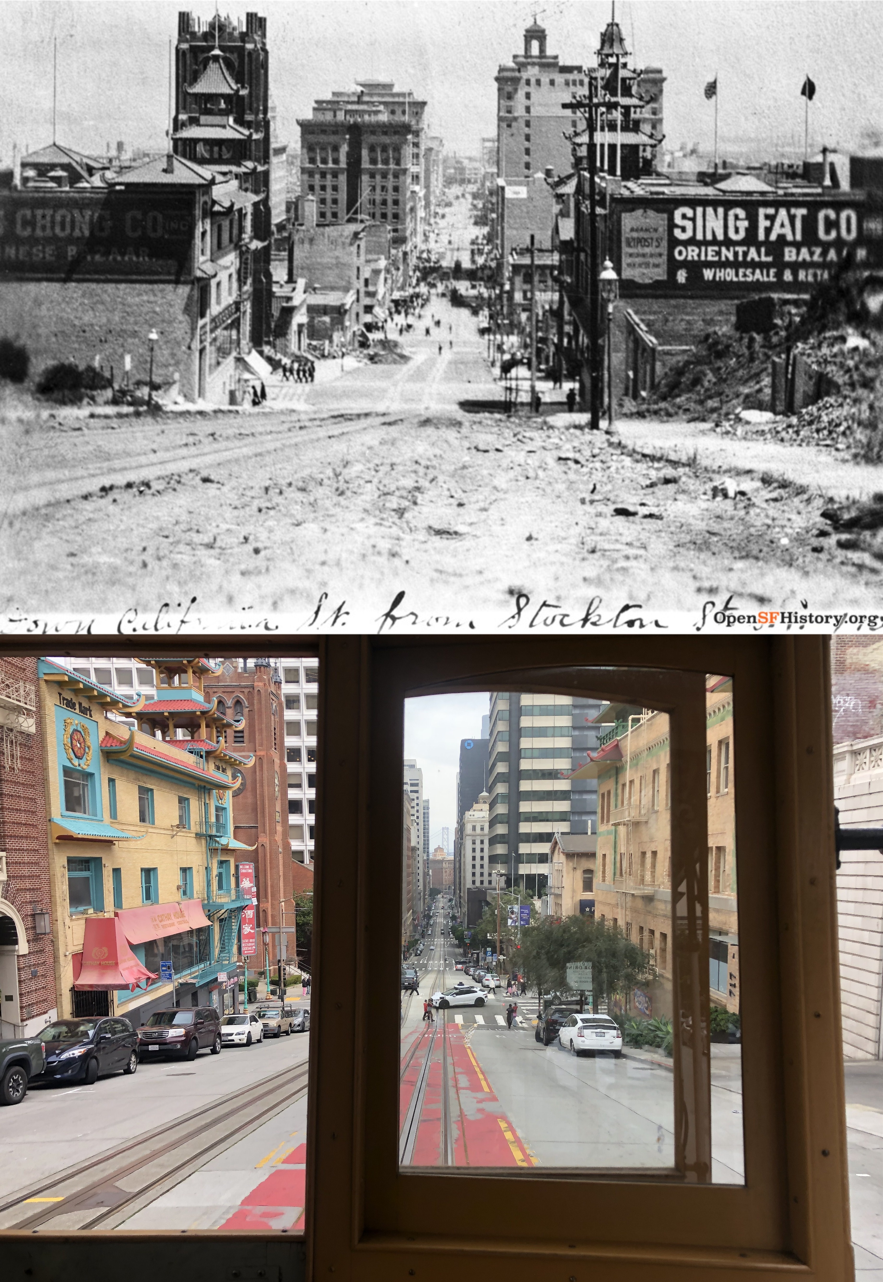
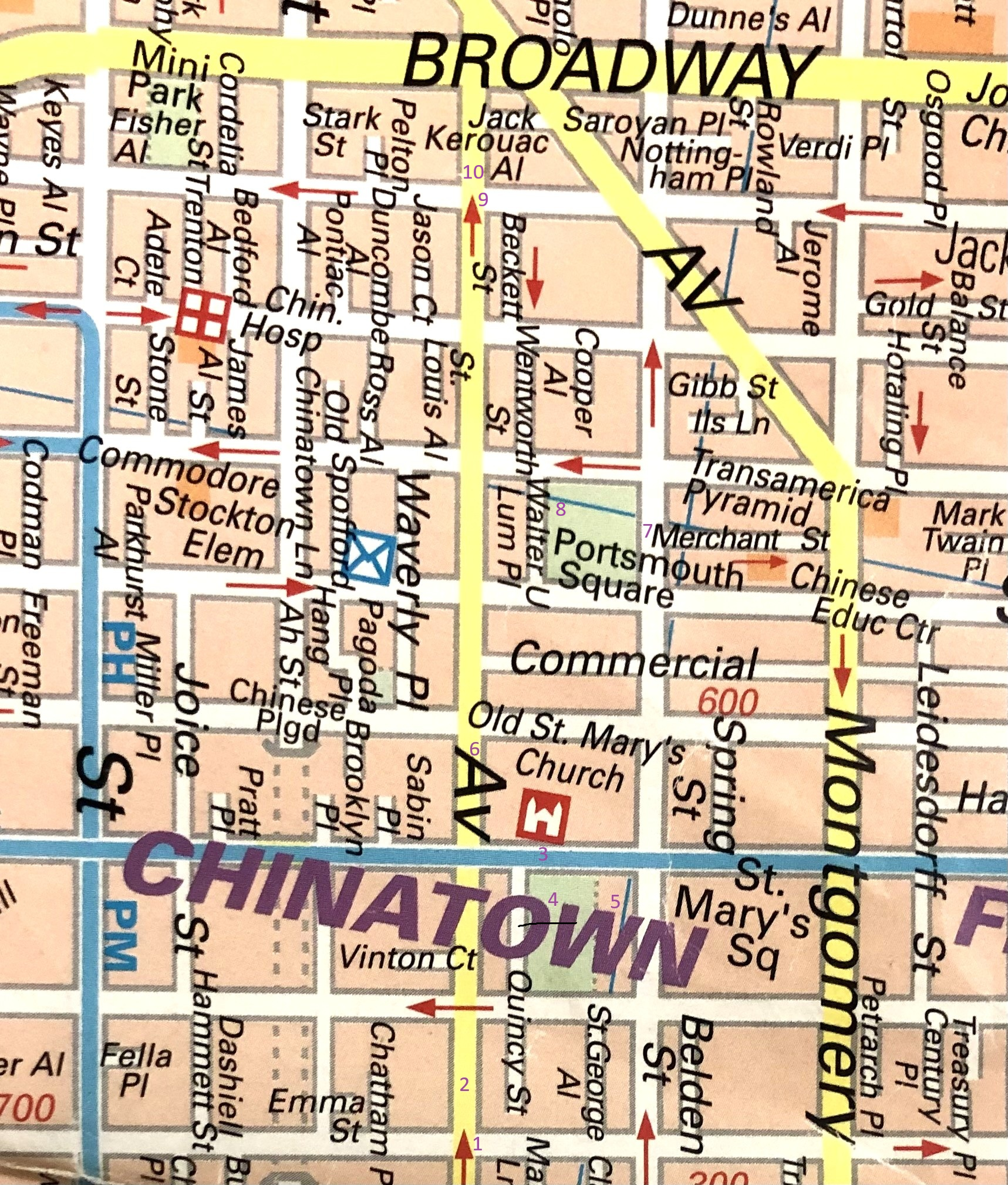
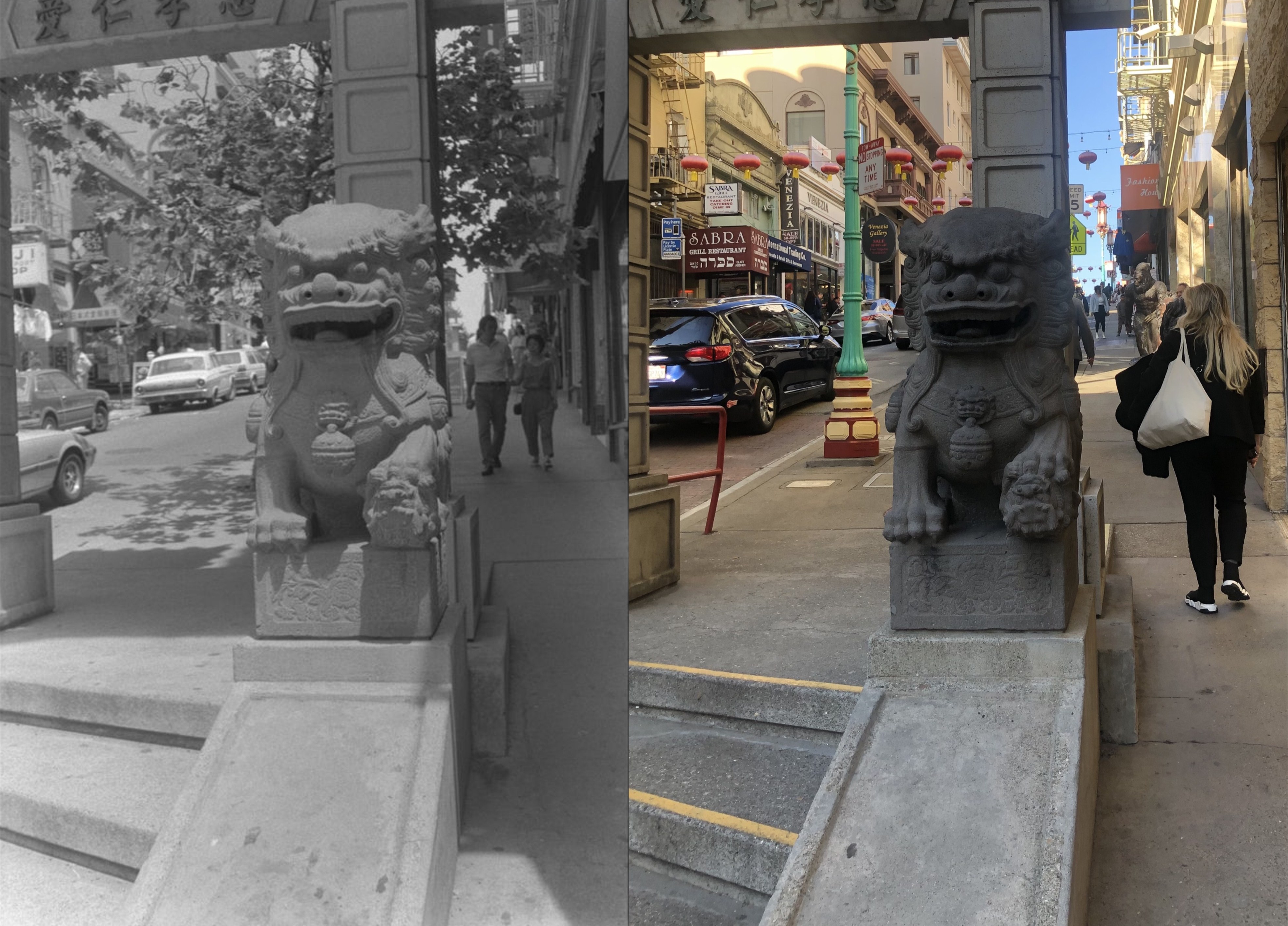
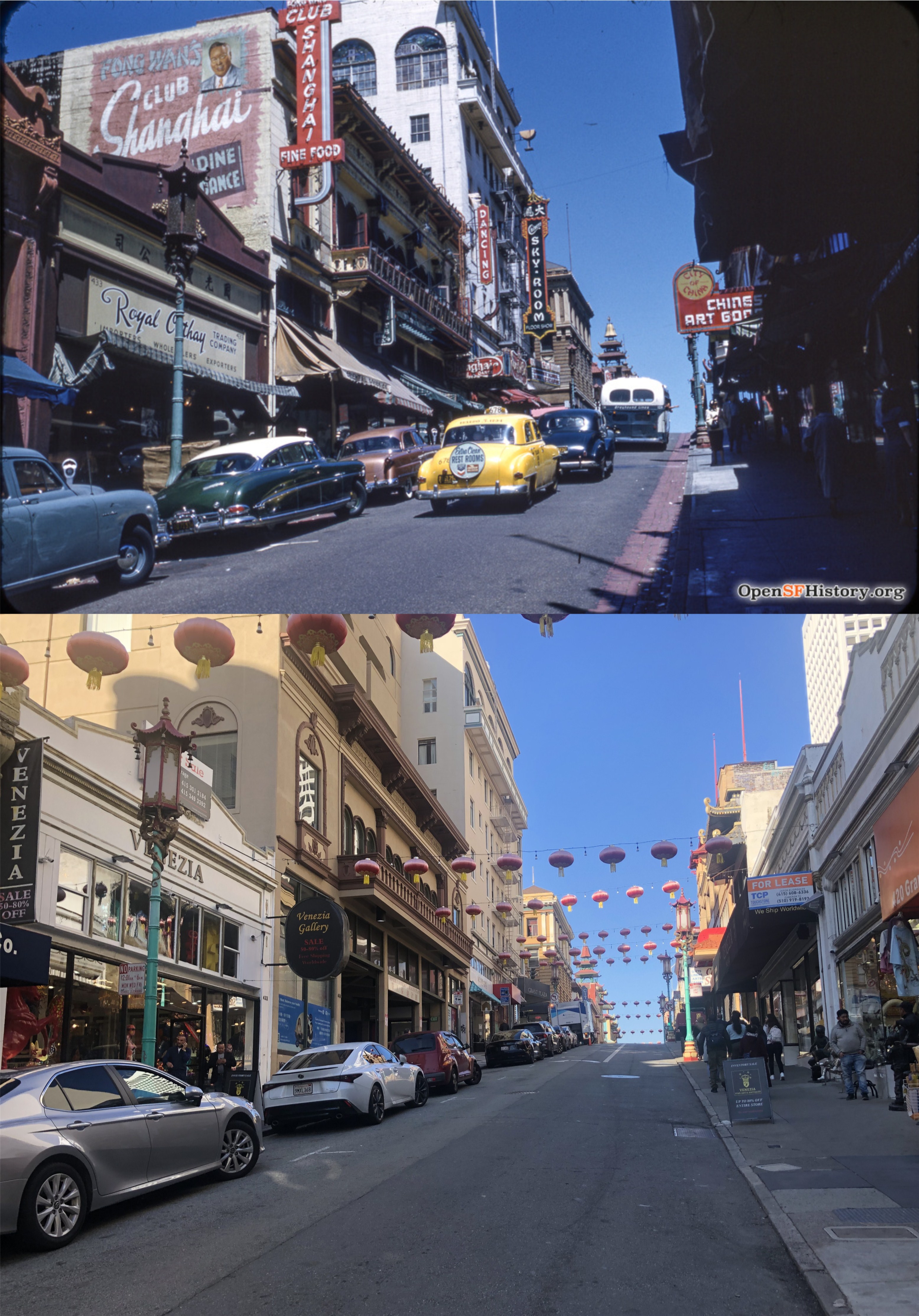
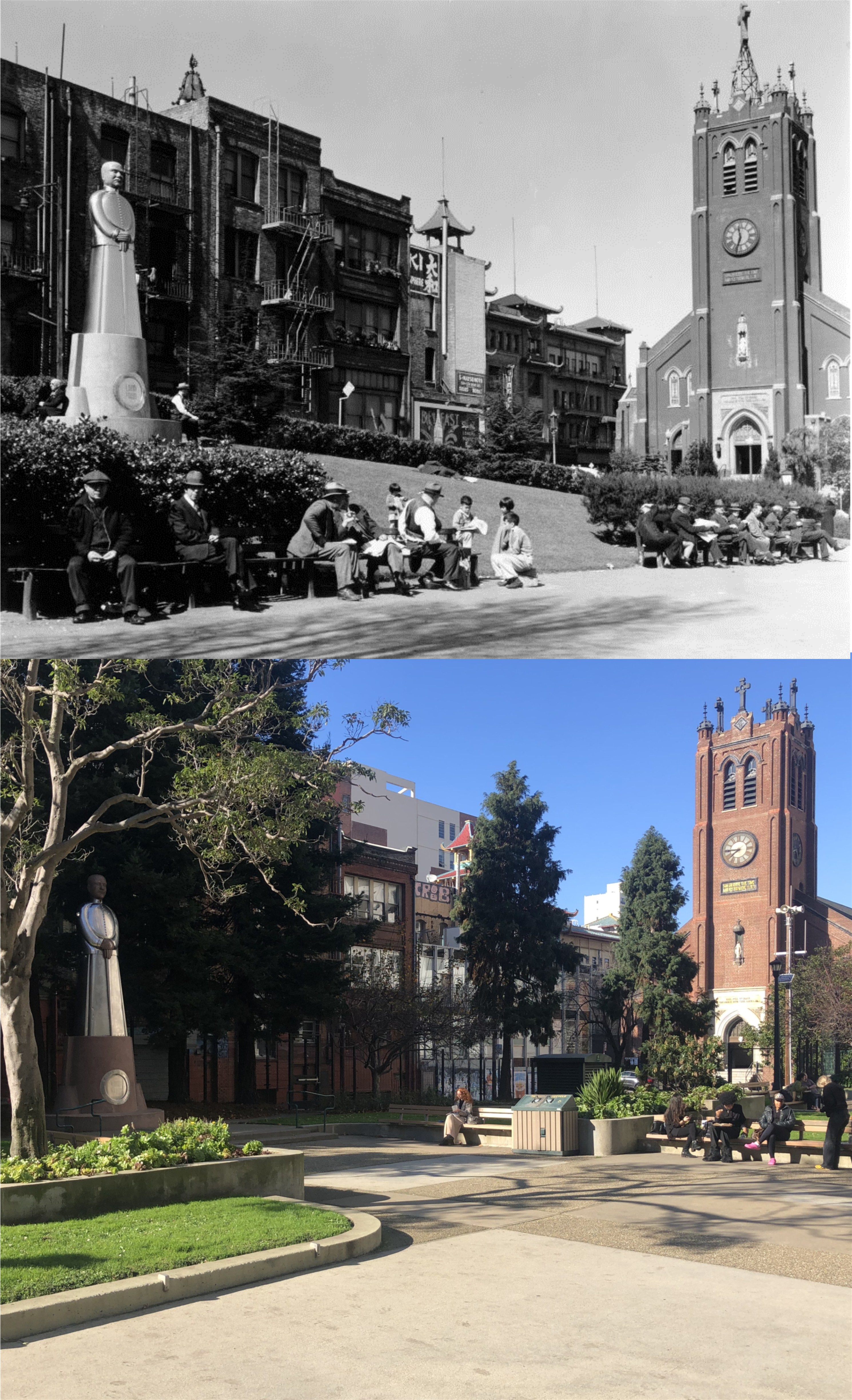
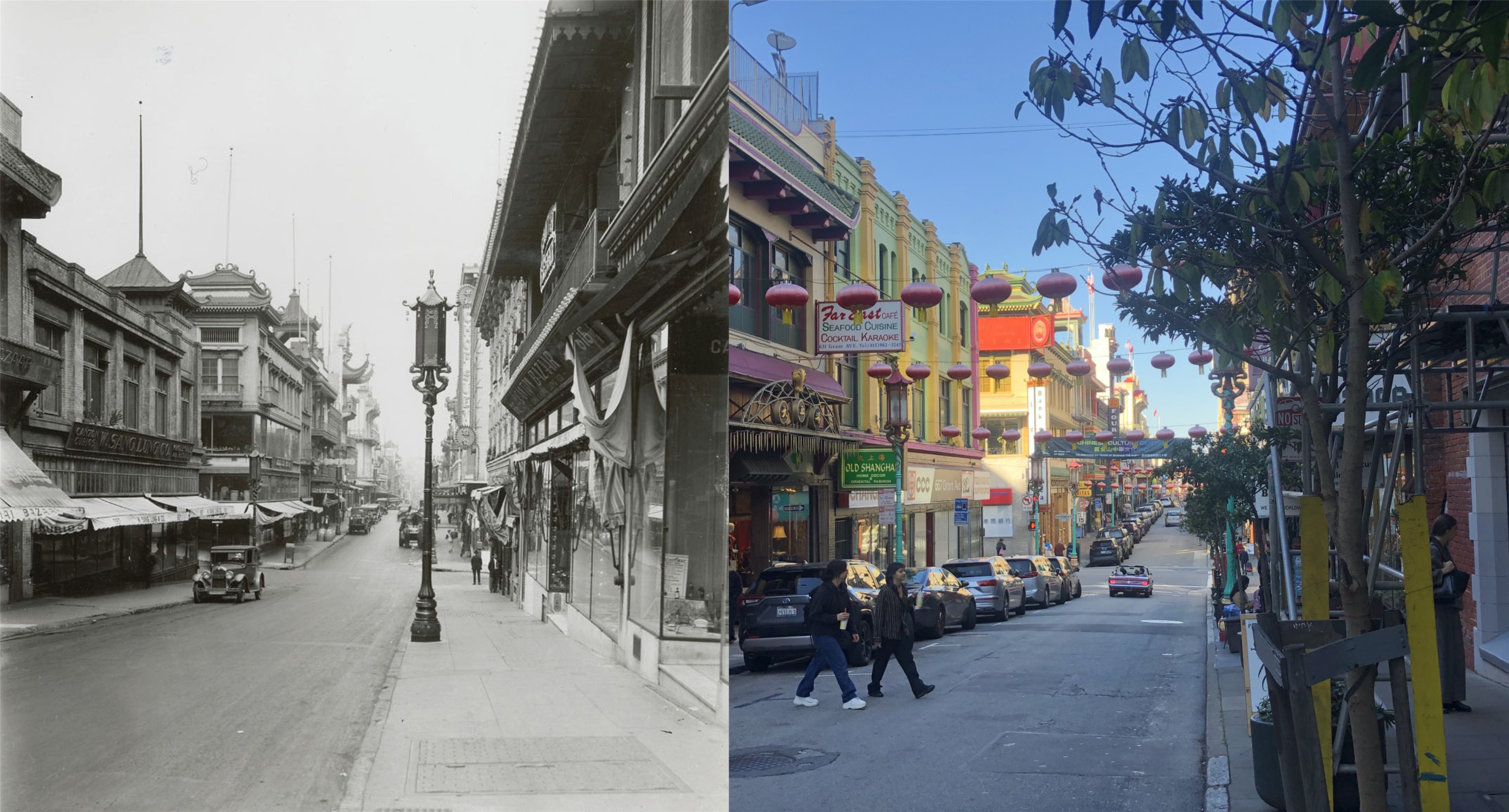
Approaching Chinatown from Stockton Street in 1908, two years after the 1906 Earthquake and Fire: The Dim Sum and Sing Fat Pagoda Buildings were built by then, and Old St. Mary’s Church on the left that survived the 1906 disaster was back in business.
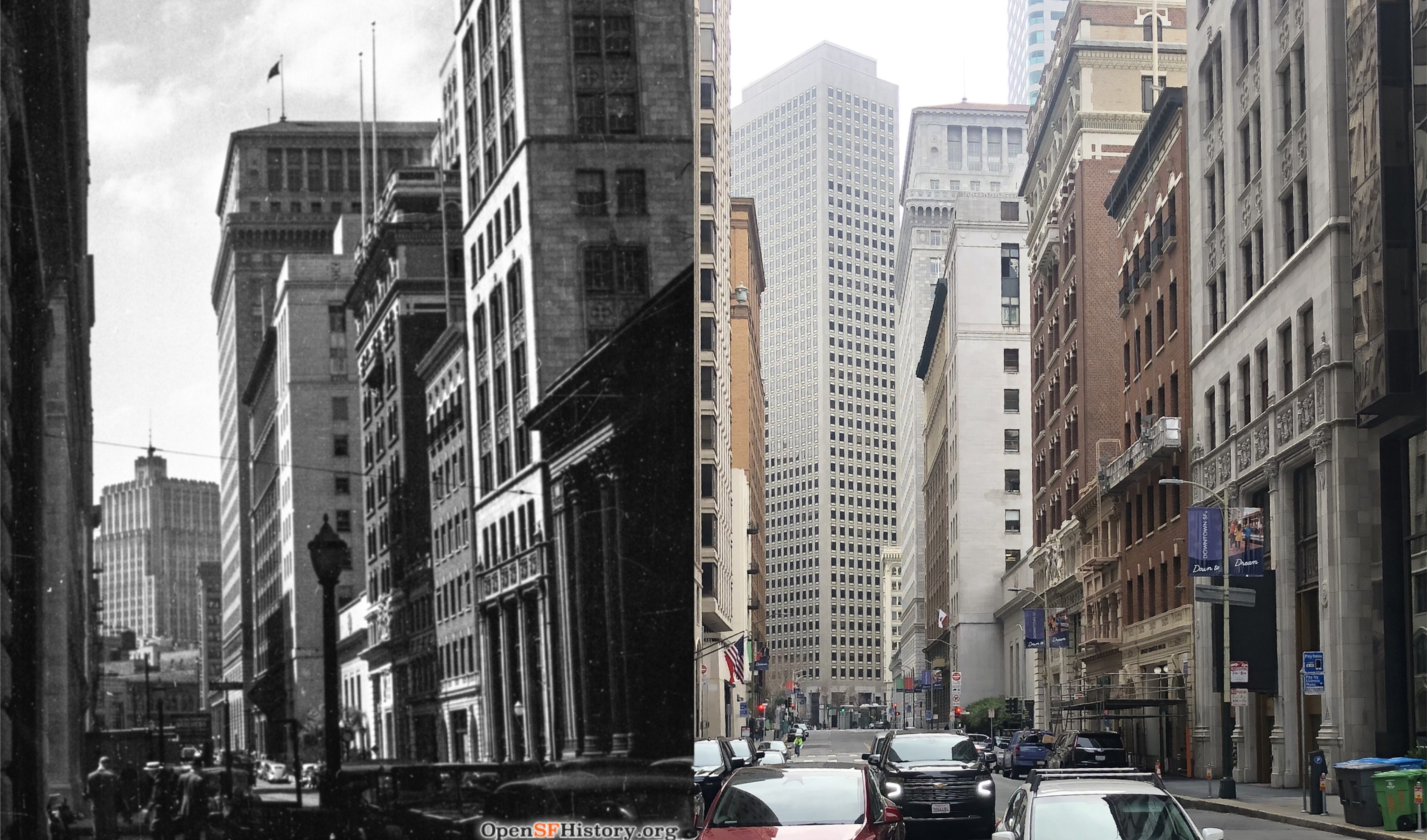
Looking down Sansome Street toward Market Street circa 1939: It’s not the best of line ups, but it works. In the far left background of the vintage picture is the Pacific Telephone Building on New Montgomery Street, blocked from the view now by whatever that building on Market Street is.
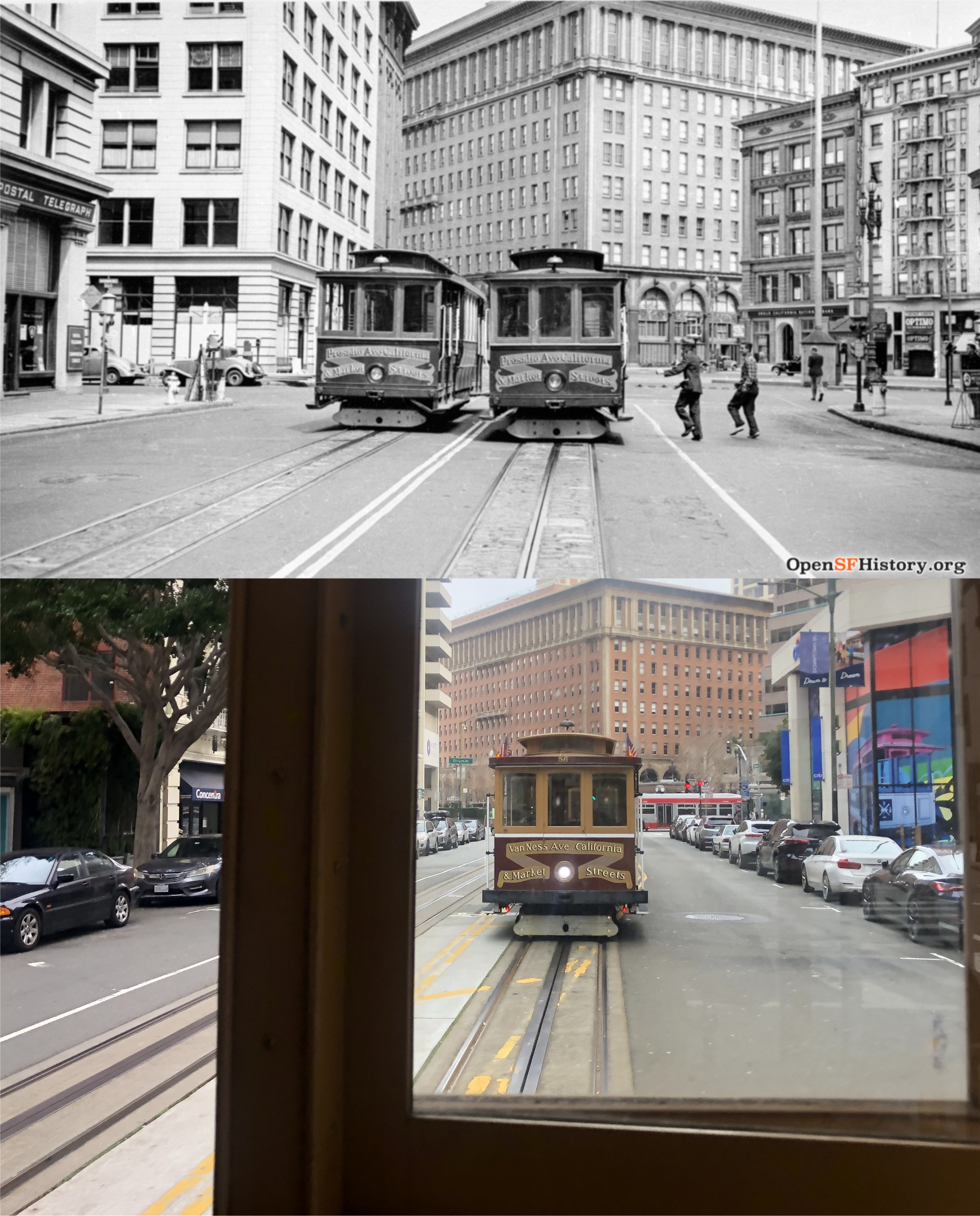
California Street at Drumm and Market Streets, and the end of the line: The vintage picture is from 1948. Boy, I’d have liked to have done the whole thing again in reverse yesterday, but I was anxious to get back to the office to find my vintage pictures for comparison.